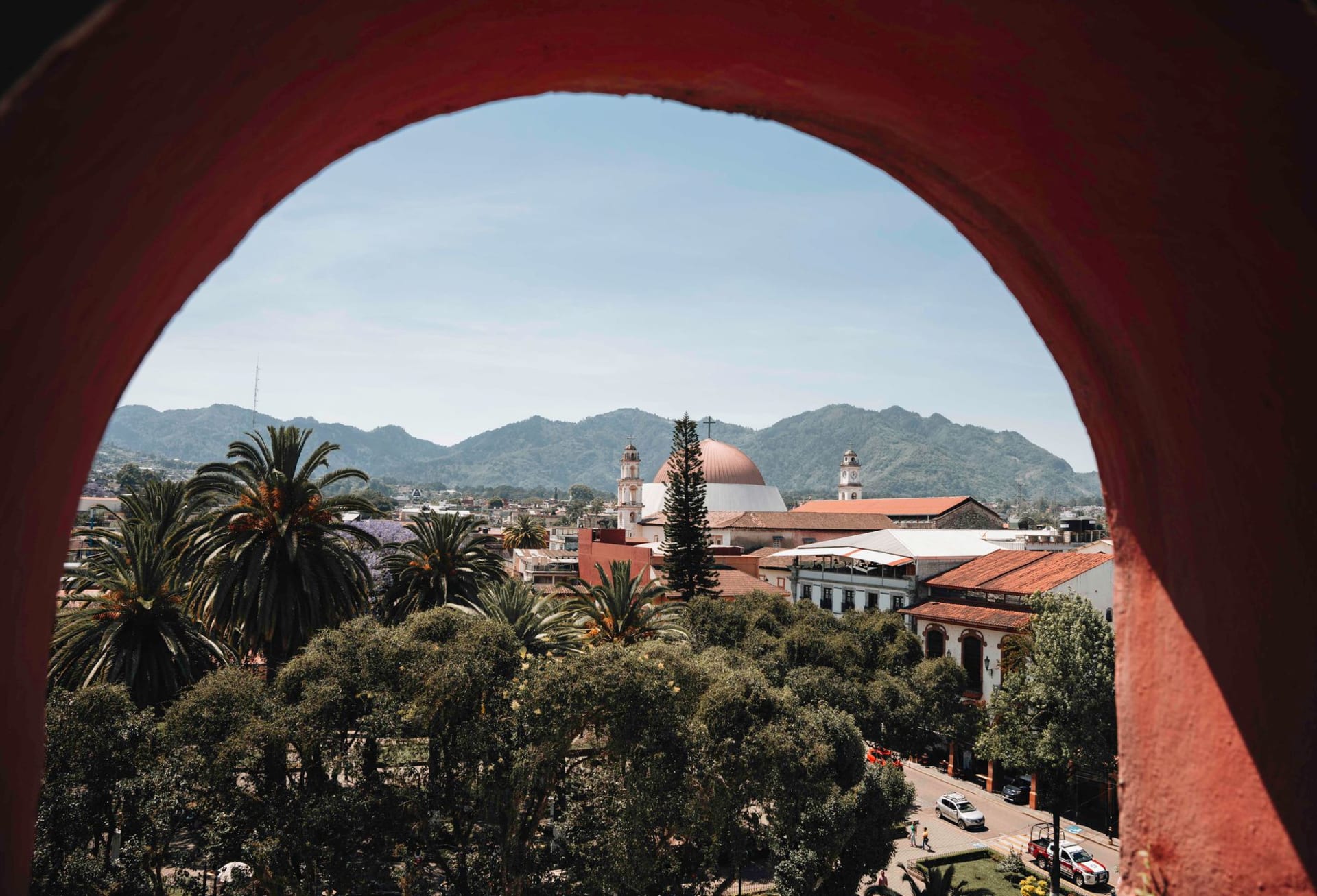
Durango
"John Wayne filmed nine movies here. Sam Peckinpah filmed three. The villagers who played extras still remember their lines."
A colonial mining capital in the Sierra Madre foothills where every major Hollywood Western was filmed between 1950 and 1990 — the terrain looked more like the American Southwest than anywhere in the US, and the light was perfect.

Durango is a colonial silver city that reinvented itself as a film location. Between 1950 and 1990, more than 120 Hollywood and European Westerns were filmed in the Durango countryside — the semi-arid scrubland and red sandstone formations of the Sierra Madre foothills photographed identically to the Arizona and New Mexico landscape, at a fraction of the production cost, without union rules, and with a local population willing to work as extras, wranglers, and production assistants.
John Wayne came nine times. Sam Peckinpah came for The Wild Bunch and Pat Garrett and Billy the Kid and found the landscape he needed for his particular vision of violence and landscape. Sergio Leone used Durango locations. The permanent Western movie sets built outside the city — Villa del Oeste and Chupaderos — still stand and have been in use continuously since the 1950s.
The city itself is a UNESCO-listed colonial capital of genuine quality that receives a fraction of the attention given to its Bajío counterparts.
The Film Sets
Chupaderos, 12 kilometers north of the city on the highway to Parral, is the oldest and most complete Western movie set in Mexico — a ghost town built for the 1956 John Wayne film The Conqueror and used for dozens of subsequent productions. The set has a main street of false-front buildings, a saloon, a church, and the specific atmosphere of a place that has been repeatedly destroyed (by film pyrotechnics, by weather) and rebuilt for the next production.
The Villa del Oeste set, 5 kilometers from the city, was built for a 1970s Mexican television Western and has a more elaborate layout — multiple street configurations, more permanent construction. Both sets run as tourist attractions with actors in period costume on weekends.
The Durango Film Commission maintains a museum in the city center documenting the production history: photographs of Wayne, Peckinpah, and Clint Eastwood on location, production stills, the original contracts for the city’s use as a film location. The images of the Sierra Madre landscape standing in for the American West have a specific quality of photographic equivalence — the light, the landform, and the vegetation color are close enough to be interchangeable.

The Colonial Center
Durango’s Plaza de Armas is anchored by the cathedral — a late 17th-century building with two towers of mismatched height and a facade that has the visual weight of a northern colonial church whose ornament was constrained by the available resources rather than by taste. The interior is more elaborate than the exterior promises: an 18th-century gilded retablo of considerable ambition behind the main altar, and the particular quality of a church that has been in continuous use by the same community since 1695.
The Palacio de Gobierno contains murals by Francisco Montoya de la Cruz depicting Durango history from pre-Columbian times through the revolution, with the specific visual weight of northern Mexican muralism — drier, less chromatic than the central Mexican tradition, the light of the Sierra Madre in the palette.
The Mercado Gómez Palacio has the food section that matters: the chilorio stalls. Chilorio — shredded pork braised with dried chiles, vinegar, and spices until almost dry, then packed in lard — is the canonical Durango food product and one of the finest preserved meat preparations in Mexico. It appears on every breakfast menu in the city and is sold in clay pots at the market for transport home.
The Quebradas
Thirty kilometers south of the city, the road drops from the pine-covered Sierra Madre into a series of dramatic canyon systems known as the Quebradas — the same terrain, in slightly different ecological form, that the film crews were using as a stand-in for Arizona. The canyons are accessible by road to their rim and by trail into their interiors; the vegetation shifts from pine forest at 2,400 meters to subtropical dry forest at 400 meters over twenty kilometers of descent.
The Puente de Ojuela — a suspension bridge over the Palmito Gorge, built in 1898 to serve the Ojuela silver mine and still standing — is the most dramatic single structure in the region: 318 meters long, swaying perceptibly in wind, with the gorge 110 meters below.

Getting there: Direct flights from Mexico City, Guadalajara, Monterrey, and Tijuana. ETN buses from Mazatlán (3h over the spectacular Trans-Sinaloa Highway through the Sierra Madre) or Mexico City (12h). The film sets are accessible by taxi from the city; a car is useful for the Quebradas.
When to go: April through June and September through November for best weather. The mountain climate produces cold winters and a rainy summer season (July-August) that makes the Sierra Verde and the Quebradas lush.
Explore
Places in Durango
 mexico
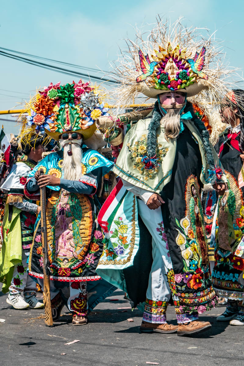
 Canatlán
Set at over 2,000 meters in the Durango highlands, Canatlán is apple-and-pear country with a mining-era centro that feels more Colorado than Sinaloa. The Valle del Guadiana turns deep green in summer, and the air has a sharpness you don't expect from a Mexican afternoon.
Explore mexico
 Canatlán
Canatlán occupies a high plateau between Durango city and the sierra, where volcanic ridges frame a valley that produces extraordinary strawberries and regional mezcal in equal measure. It is a place that earns its reputation quietly, through what you eat and drink rather than what you photograph.
Explore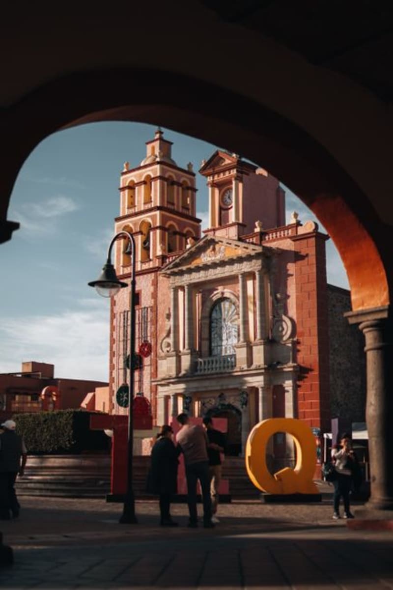 mexico
 Cuencamé
Cuencamé sits in the Durango lowlands where the sierras give way to ranching country, its colonial haciendas still defining the landscape after four centuries of cattle and silver. It is quietly becoming wine territory, though the world has not caught up to that fact yet.
Explore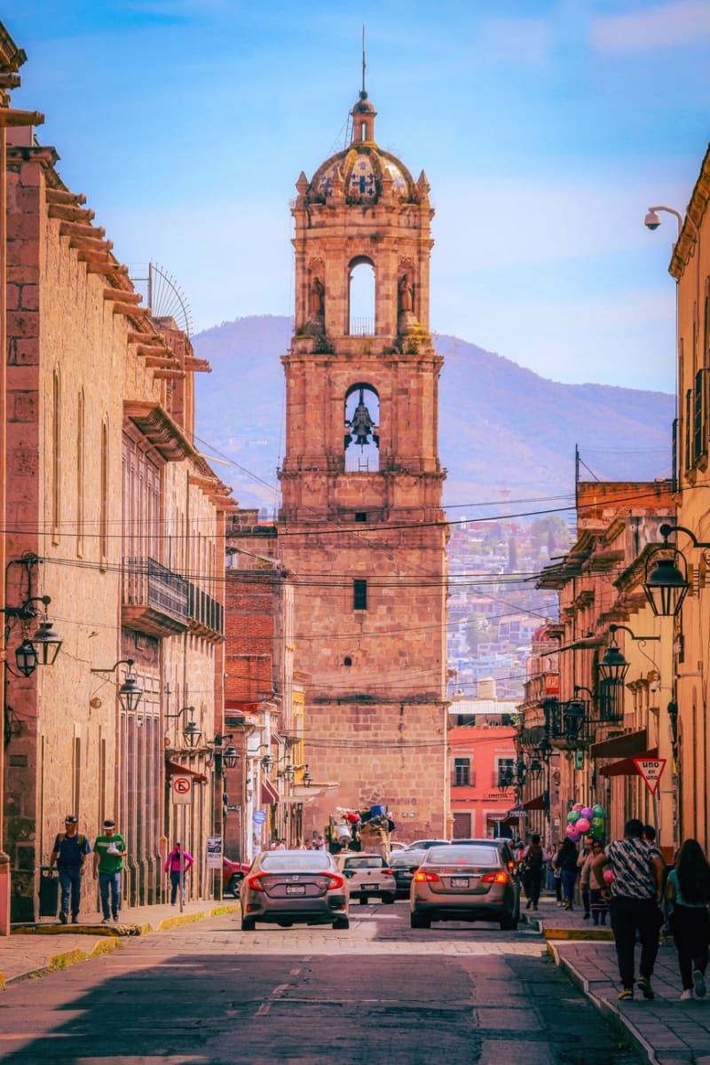 mexico
 Durango City
Durango City is the colonial capital of a state better known outside Mexico for the westerns John Wayne and Sam Peckinpah filmed in its surrounding sierra — the original movie sets are still standing on the edge of town. The historic center has a baroque cathedral, an alley named for its scorpion problem, and a highway to Mazatlán that crosses the Sierra Madre and is one of the most dramatic drives in the country. I arrived having watched a John Ford film the night before and spent the first two hours half-expecting a stagecoach.
Explore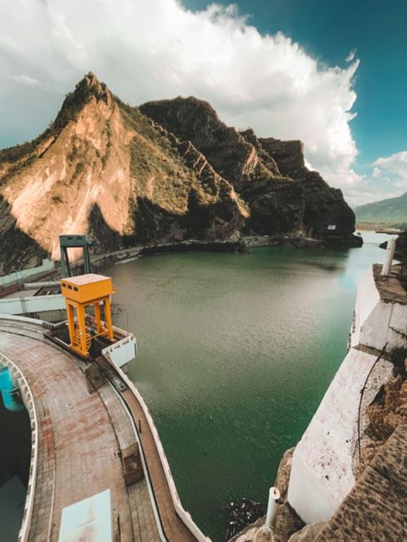 mexico
 El Palmito
A roadside stop on the mountain highway between Durango city and Mazatlán, where the Presa Palmito reservoir cuts a long blue slash into pine and canyon country below the dam wall. Most drivers fly past; the ones who stop tend to stay longer than they planned.
Explore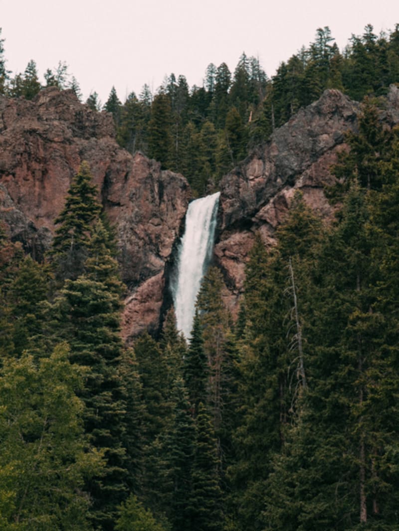 mexico
 El Salto
A working lumber town at 2,300 meters in the Sierra Madre Occidental where the economy runs on timber and the air smells of pine resin year-round. El Salto is not set up for visitors, which is precisely what makes it worth the four-hour drive from Durango city through the mountains.
Explore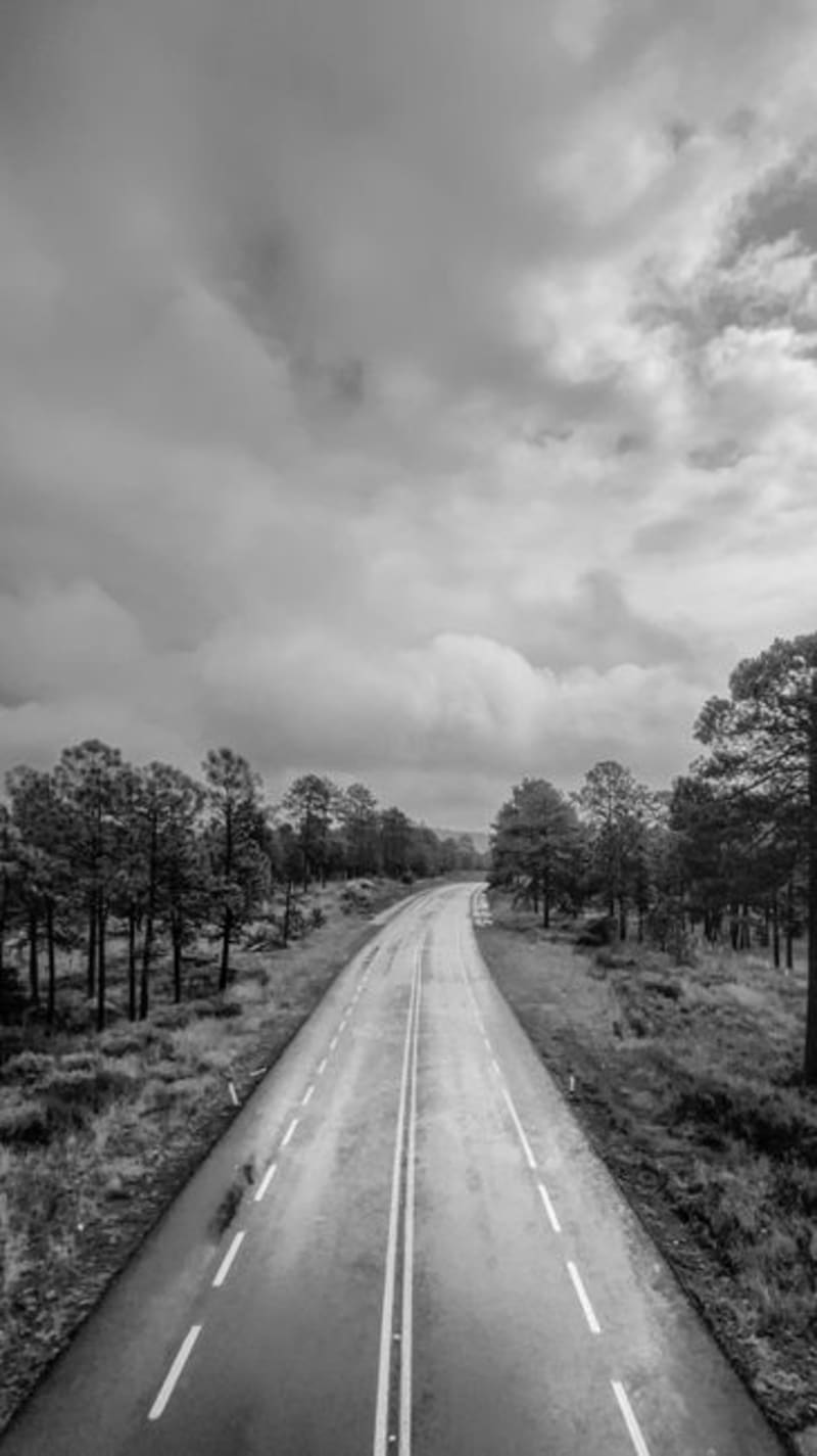 mexico
 El Espinazo del Diablo
The original Highway 40 through the Sierra Madre Occidental — a succession of hairpin switchbacks, near-vertical canyon drops, and cloud-forest corridors that most drivers now bypass via the toll freeway. What remains is a paved mountain crossing through some of Durango's sharpest terrain, largely empty, where fog moves in thick enough to erase the road ahead and the only vehicles you encounter tend to be the ones too large for the tunnel clearances on the new highway.
Explore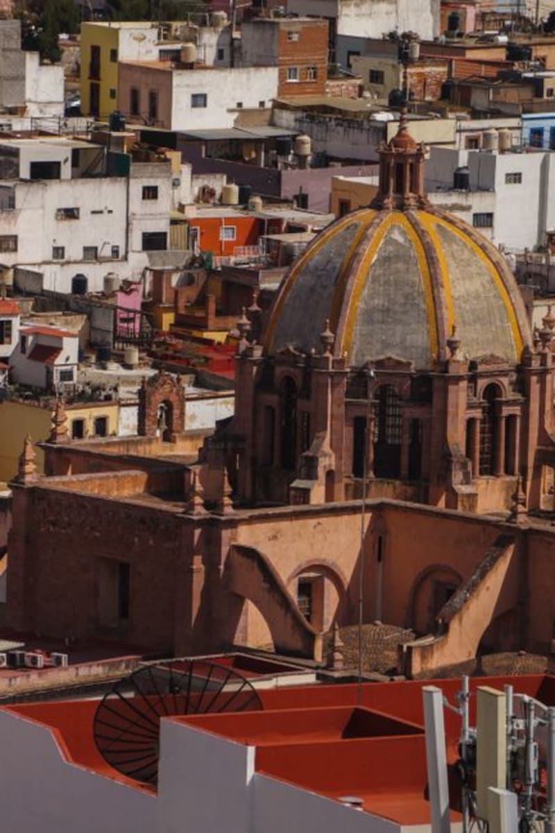 mexico
 Guanaceví
A colonial silver-mining town at 2,600 meters in the northern Sierra Madre, Guanaceví has been declining quietly for two centuries in a way that preserved its center almost intact. The drive from Durango city is long and the isolation on arrival is genuine — a combination that is increasingly difficult to find in Mexico.
Explore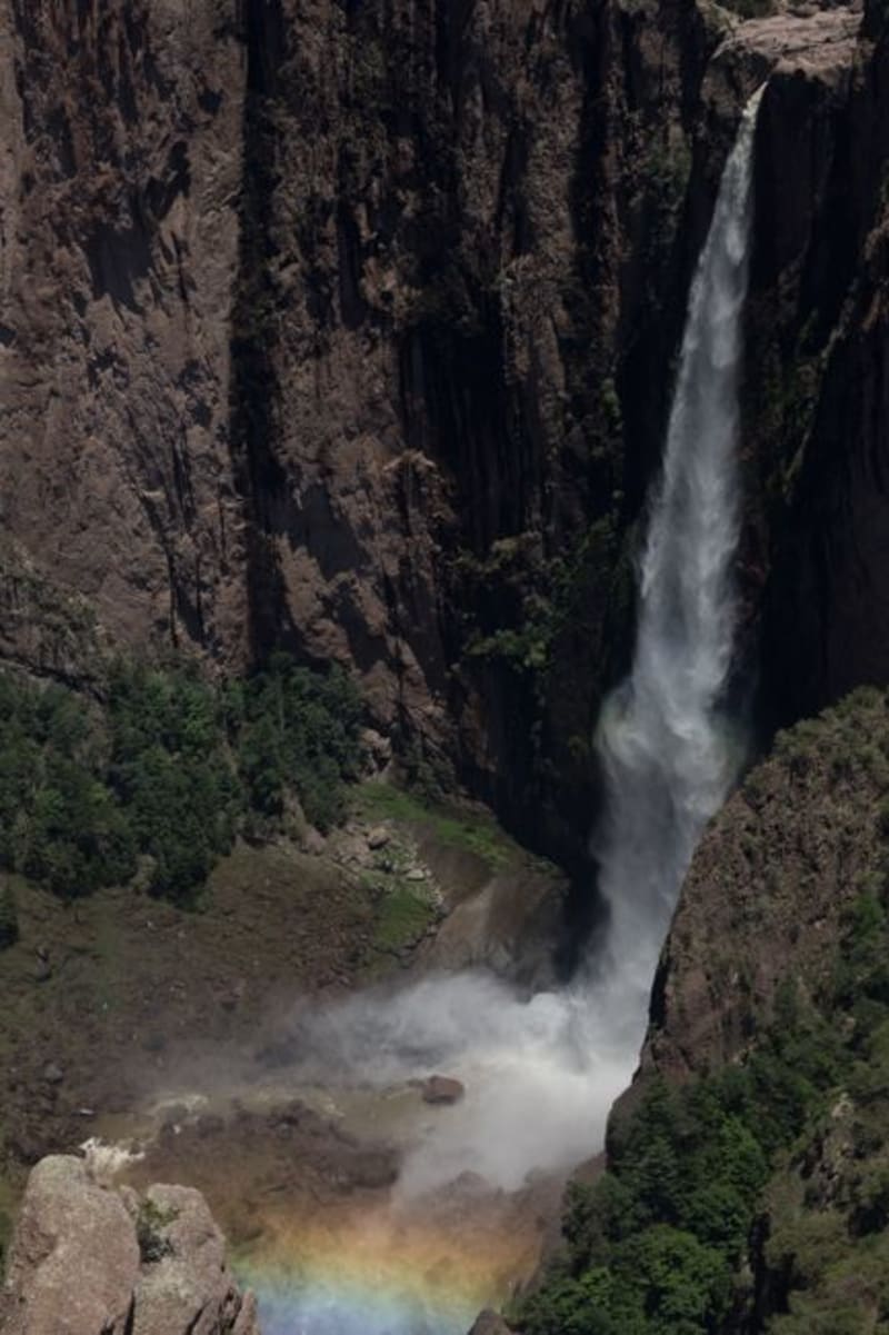 mexico
 Las Quebradas
Las Quebradas is the canyon country where the Sierra Madre Occidental unravels toward the Pacific, dropping from pine-forested ridges to near-tropical lowlands in the span of a single winding hour. The road that threads through it — old, narrow, and occasionally vertiginous — rewards patience with waterfalls, involuntary silences, and an ecological transition that happens faster than reason suggests it should.
Explore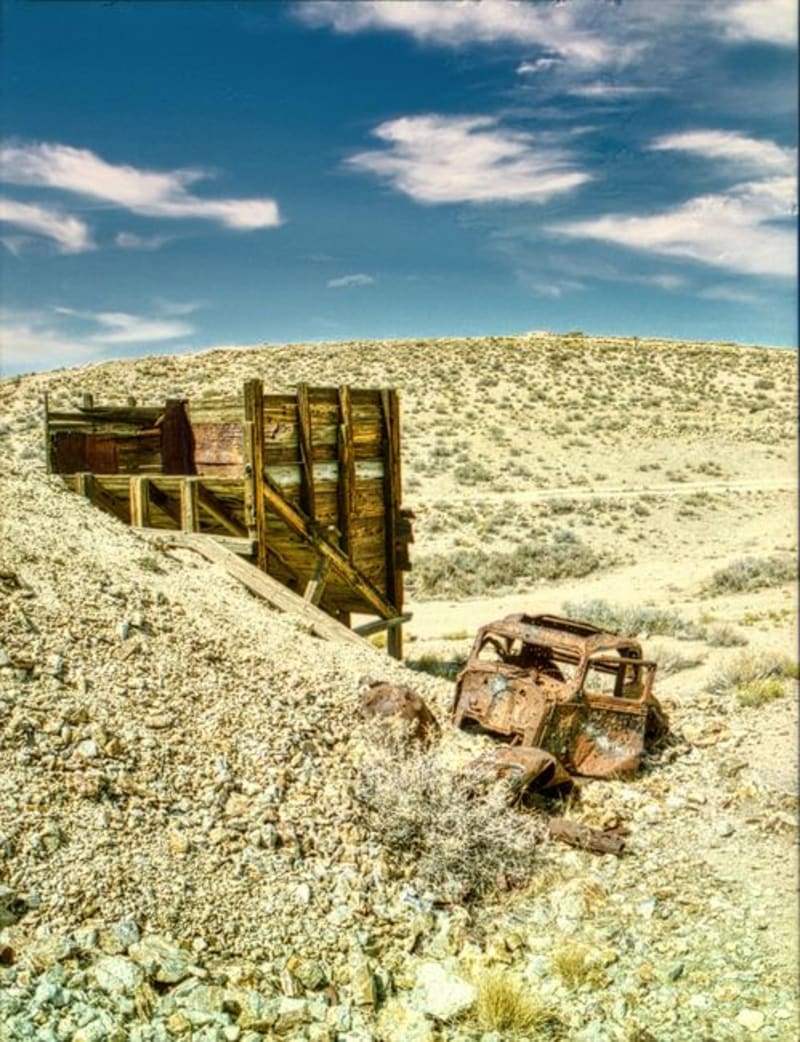 mexico
 Mapimí
A ghost town strung over silver mine shafts and joined to the living world by the longest hanging bridge in Mexico, Mapimí is where industrial ruin meets the blank immensity of the Bolsón de Mapimí — a desert so quiet it has been swallowing radio signals and compass readings, or so they say, since at least 1970.
Explore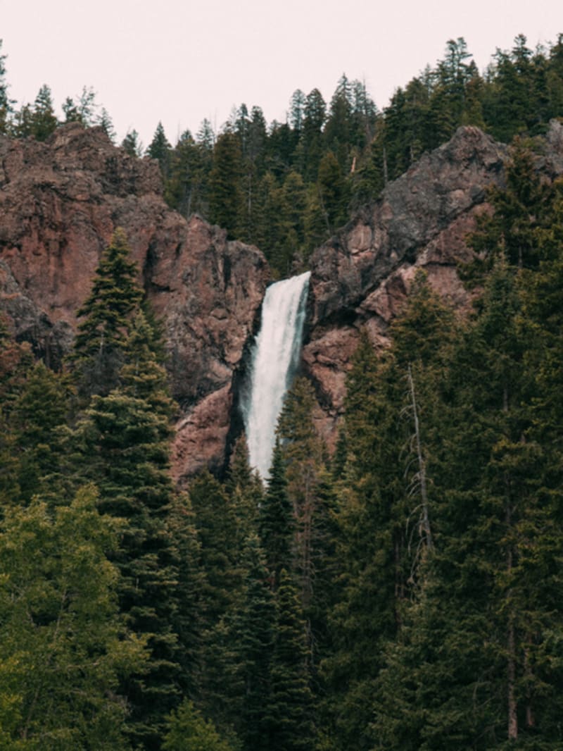 mexico
 Mexiquillo
A forest reserve in the Sierra Madre Occidental where basalt columns the size of houses rise from the pines — volcanic formations that erosion has worked into mushroom shapes, standing in mountain mist most Durango road-trippers never stop to find.
Explore mexico
 Nombre de Dios
Nombre de Dios has been continuously inhabited since 1562, founded by Francisco de Ibarra as one of the first Spanish settlements in the north. The Ex-Convento de San Francisco anchors everything — a late-sixteenth-century Franciscan complex with original cloister frescoes where indigenous faces appear in European religious scenes, a collision of worlds painted directly onto the stone. I arrived in the afternoon and had the place entirely to myself for the better part of an hour.
Explore mexico
 Pueblo Nuevo / Mexiquillo
Pueblo Nuevo is a logging town high in the Sierra Madre Occidental, an hour's drive from Durango City through pine forest and switchbacks. The Mexiquillo protected area nearby holds one of the stranger landscapes in Mexico: volcanic rock formations — columns, arches, balanced boulders the size of trucks — rising from dense fir forest that fills with mist most mornings. Almost no one goes there, which remains one of the more inexplicable oversights in Mexican nature tourism.
Explore mexico
 San Dimas
A historic gold-and-silver mining district buried deep in the Sierra Madre Occidental of Durango, reached by the wild mountain road toward Mazatlán. Dramatic barrancas and endless pine forest, the old mines of Tayoltita hidden in the canyons, and the feeling of being genuinely far from everything.
Explore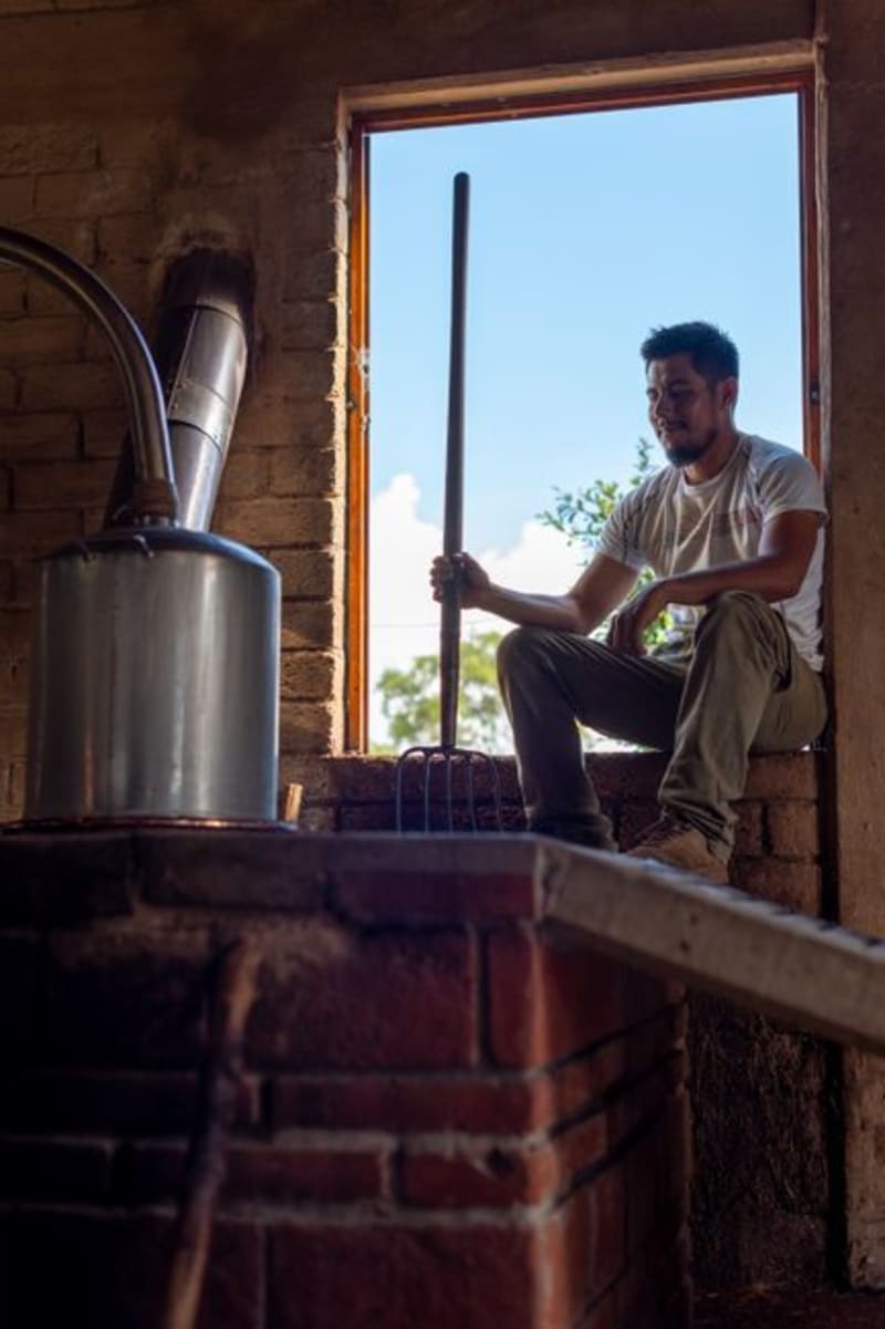 mexico
 San Juan del Río, Durango
A mezcal-producing village tucked into the rocky draws of the Durango Sierra Madre, where clay-pot distilleries have been operating the same way for two centuries. This is not the Querétaro San Juan del Río — this one is quieter, harder to reach, and worth every kilometer of dirt road.
Explore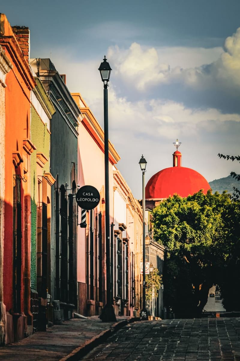 mexico
 Santiago Papasquiaro
Santiago Papasquiaro sits four hours into the Sierra Madre Occidental from Durango City, at 1,800 meters in a valley that the Tepehuan people have farmed for centuries before any Spanish road arrived. The town is a quiet market center — apples and pears and corn from the surrounding hills, pine and oak forest closing in above — and the man who ran my guesthouse explained the valley's history over dinner with the patience of someone who had never had to make it accessible to an outsider before.
Explore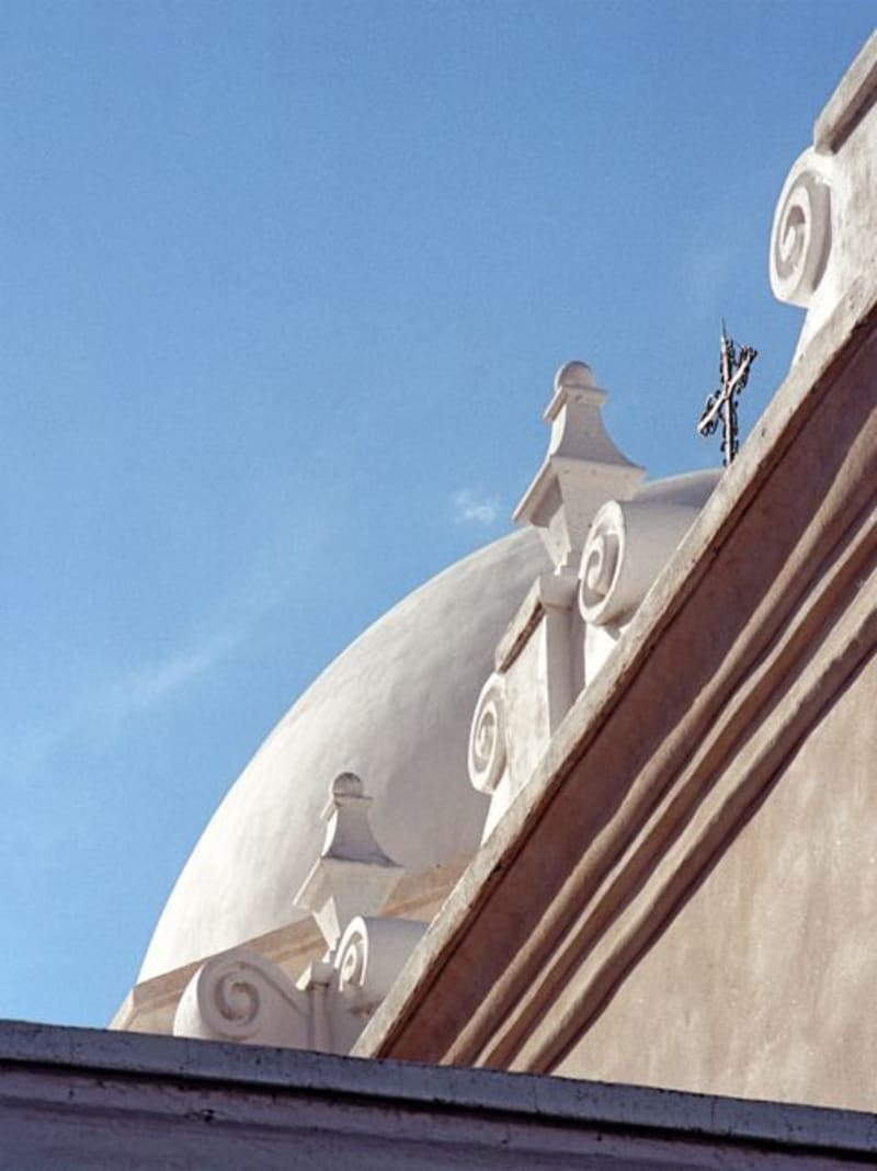 mexico
 Súchil
A small town in the Durango highlands where a well-preserved 17th-century Franciscan mission shares the itinerary with the Yerbanís — a cluster of volcanic tuff pillars eroded into improbable shapes that rise from the surrounding plateau.
Explore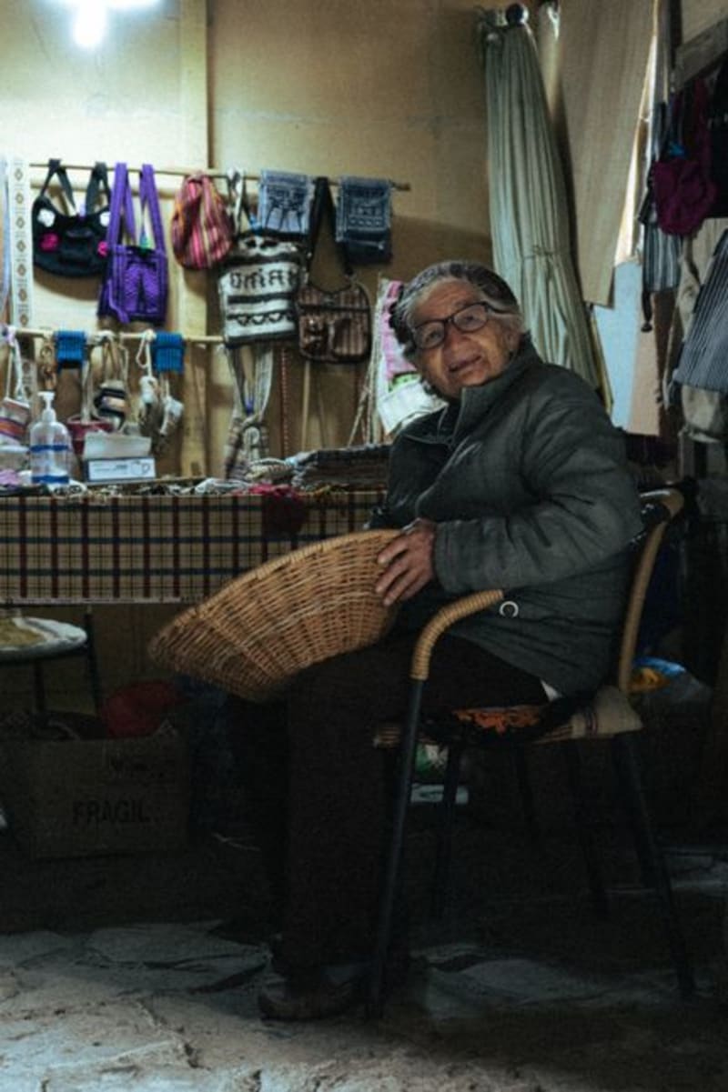 mexico
 Tepehuanes
Deep in the Sierra Madre Occidental, Tepehuanes is the ceremonial and commercial heart of the Tepehuan people. Its weekly market pulls communities down from the high sierra with crafts, medicinal plants, and foods that exist nowhere else in Mexico.
Explore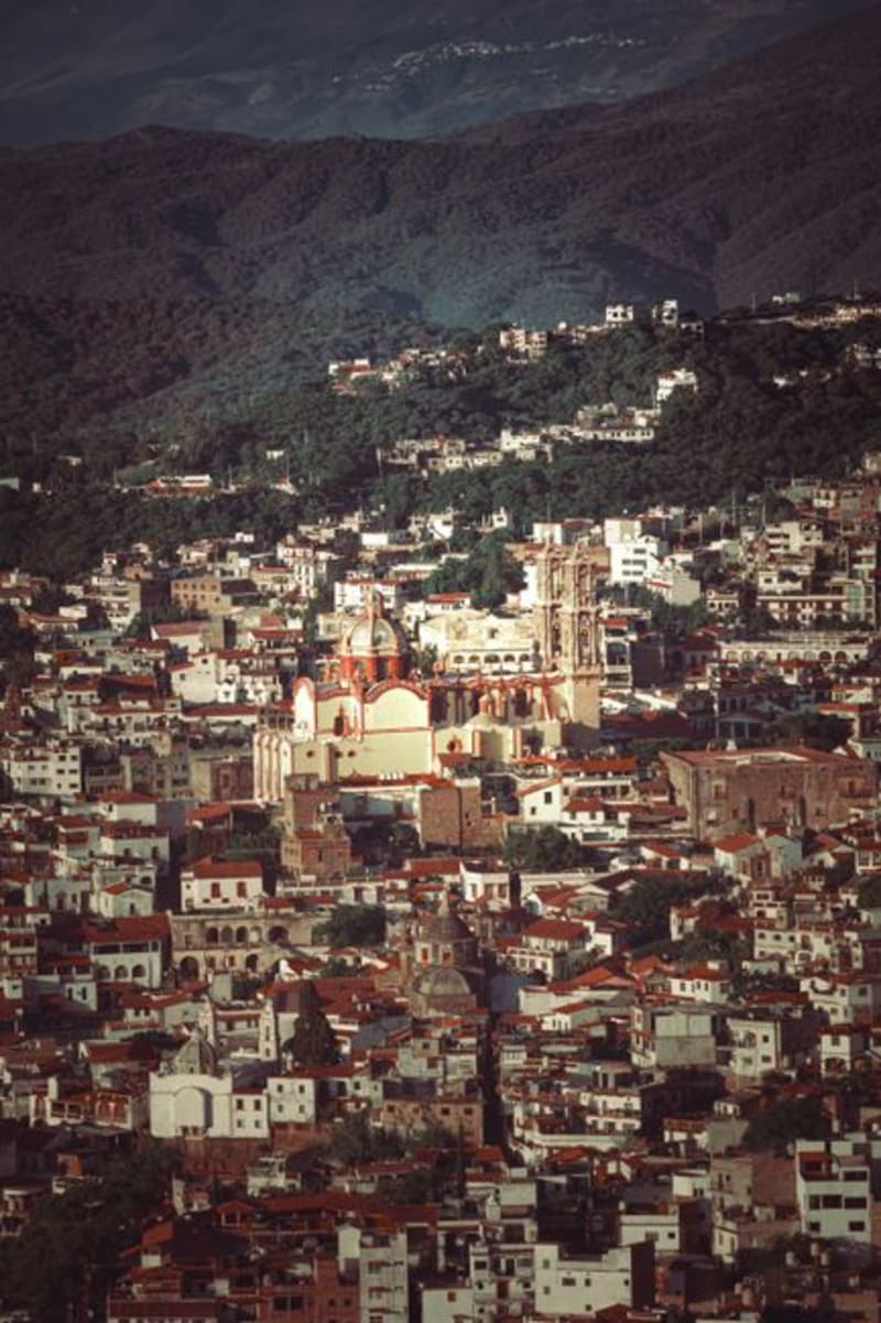 mexico
 Topia
A colonial silver-mining town at 1,800 metres in the Sierra Madre, Topia sits at the end of a road that demands genuine commitment — unpaved switchbacks, river crossings, three hours from Durango city. The mines are mostly sealed now, but the stone church is intact, the plaza still functions the way plazas are meant to, and the surrounding ridgelines offer a remoteness that is increasingly hard to find.
Explore mexico
 Vicente Guerrero, Durango
A Mennonite farming valley in the Sierra Madre foothills where Low German is spoken beside irrigation channels heavy with apples. August brings a festival that fills the air with cider and a quiet surreality particular to northern Mexico.
Explore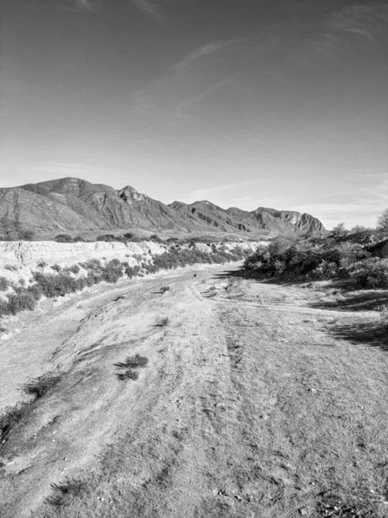 mexico
 Zona del Silencio
The Reserva de la Biósfera de Mapimí is a stretch of Chihuahuan Desert where legend insists compasses fail and meteorites seek the ground with unusual appetite. The science is mostly folklore. The landscape — red sand, towering cardón cacti, and the skeletal aqueduct of Ojuela — is entirely real.
ExploreKeep exploring
More from Mexico
 mexico
 El Cielo
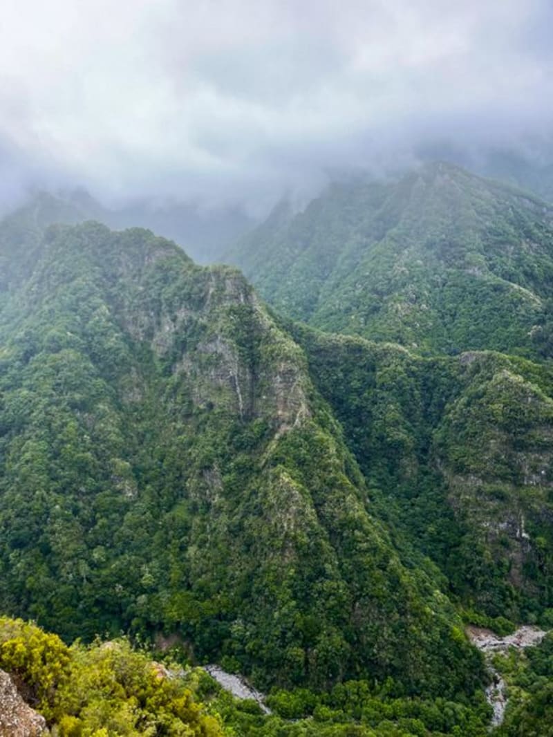
A UNESCO biosphere reserve in the Sierra Madre Oriental where the temperate forests of North America collide with Mesoamerican tropics, producing cloud forest at a latitude nobody thinks to look for it. The village of Alta Cima is the base for trails through cedar and oak where resplendent quetzals have been recorded — in Tamaulipas, of all places.
Explore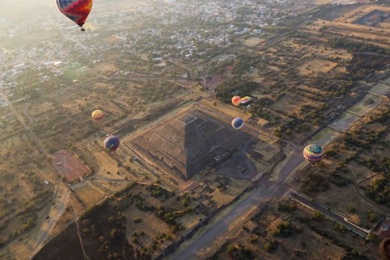 mexico
 Estado de México
The state that surrounds Mexico City on three sides — containing the world's largest pyramid at Cholula's neighbor Teotihuacán, the rock-carved Aztec temple at Malinalco, the sailing lake of Valle de Bravo, and the monarch butterfly forest above them all.
Explore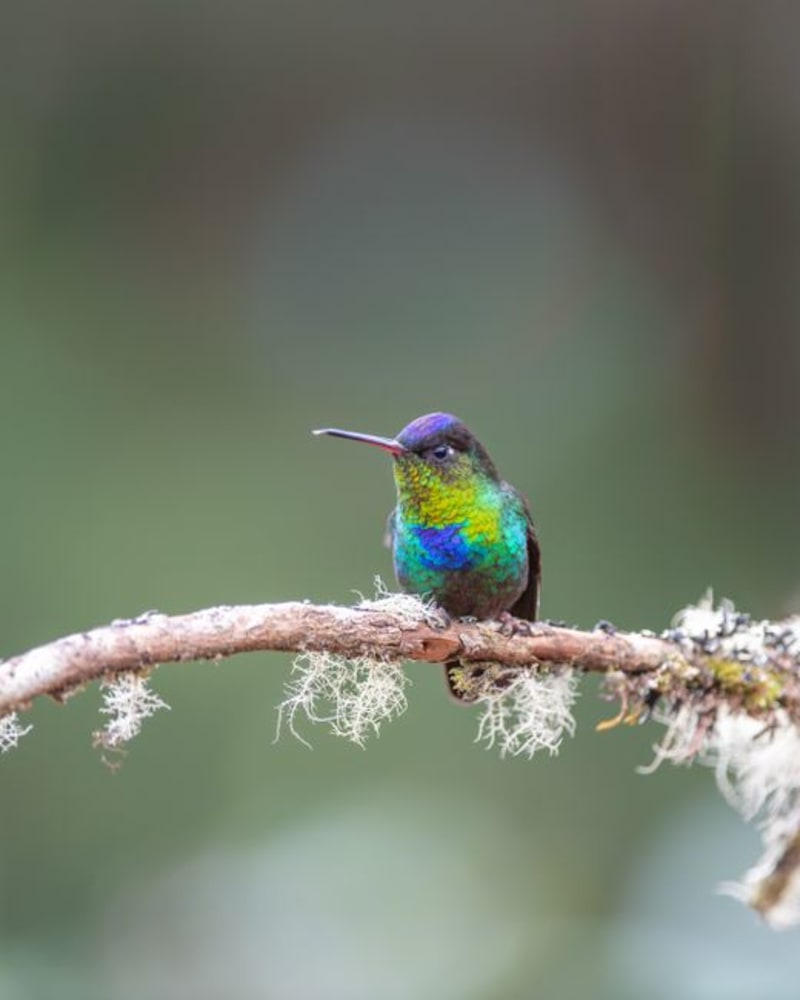 mexico
 Gómez Farías
A Huastec village at the precise altitude where Gulf lowland scrub surrenders to cloud forest, Gómez Farías is the access point for the El Cielo biosphere reserve — one of North America's northernmost quetzal habitats. The ejido guides here know these trails the way they know their own names.
Explore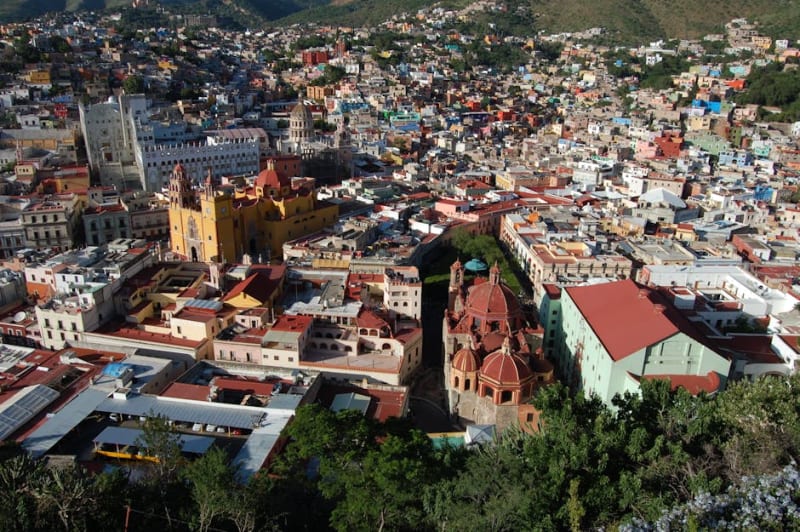 mexico
 Guanajuato
A candy-coloured colonial city built into a ravine, with underground streets, mummy museums, and Mexico's best student-town energy.
Explore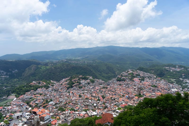 mexico
 Guerrero
A Pacific state that contains three of Mexico's most distinct seaside identities — Taxco's silver in the mountains, Acapulco's faded glamour and cliff divers, and Zihuatanejo's fishing village that refused to become a resort — in a geography of dramatic sierra and tropical coast.
Explore mexico
 Hidalgo
A small central Mexico state with Cornish miners buried in Real del Monte, hexagonal basalt columns at Huasca de Ocampo, the Toltec warrior columns at Tula, and a highland landscape that connects the Valley of Mexico to the Gulf coast through a series of valleys and gorges.
Explore