San Dimas
"The map shows a short distance. The mountains disagree. Out here, distance is measured in hours, not kilometers."
A historic gold-and-silver mining district buried deep in the Sierra Madre Occidental of Durango, reached by the wild mountain road toward Mazatlán. Dramatic barrancas and endless pine forest, the old mines of Tayoltita hidden in the canyons, and the feeling of being genuinely far from everything.

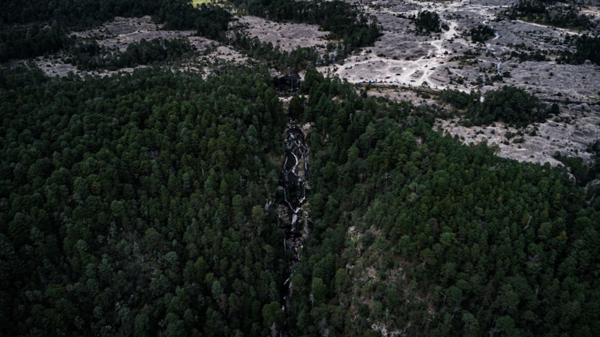
I had wanted to see the Sierra Madre from the inside for years, and San Dimas is about as inside as you can get. It lies west of Durango city, buried in the folds of the Sierra Madre Occidental where the great pine plateau breaks apart into canyons, and getting there meant hours on the mountain road, the temperature and the vegetation and my sense of connection to the outside world all thinning as I climbed. When I finally looked down into the first real barranca, the scale of it stopped me cold. This is not gentle country. It never pretends to be.
The Road Called the Spine of the Devil
Part of San Dimas’s character comes from how you reach it: the old Durango–Mazatlán mountain road, the one they call the Espinazo del Diablo, the Devil’s Spine. It runs along knife-edge ridges with the land falling away on both sides into pine-filled gorges, and even now, with the newer highway and its famous bridge doing most of the through traffic, the old road remains a serious, humbling drive.
I took it slowly, stopping at pull-offs to look out over ridgeline after ridgeline of pine, blue and fading into haze, no town or road or wire visible in any of it. A logging truck ground past in low gear. The air was cold and resinous. I understood, standing there, why this range kept its secrets for so long — why bandits and revolutionaries and miners all found refuge in these canyons. You could lose an army in here.

Gold in the Canyons
San Dimas is old mining country, and the mines are not a museum — they still work. Deep in the canyons at Tayoltita, gold and silver have been pulled from the mountain for generations, in a district so hemmed in by terrain that historically the easiest way in was by small plane onto a strip cut into the canyon floor. A man I met who had worked the mines described a world down there almost separate from the rest of Durango: reached by mountain track or by air, tucked into a gorge so deep the sun arrives late and leaves early.
I did not get down into Tayoltita itself — that takes real planning and the right connections — but I saw the country that hides it, and that was enough to feel the isolation in my gut. Whole communities live down in these barrancas, growing their lives in the narrow green seams between rock walls, connected to the plateau above by roads that a heavy rain can erase.

Pine, Silence, and the Weight of Remoteness
What stays with me from San Dimas is the forest and the silence. Up on the plateau the pine runs on forever, tall and clean, the ground soft with needles, the light coming down in long shafts. I camped one night off the old road, made a small fire, and listened to a quiet so complete that my own movements seemed loud. Somewhere far off a dog, or a coyote. Then nothing.
This is not a place with a plaza and a famous dish and a bus that drops you at the door. It is a place you go to feel how big and empty and rugged the heart of Mexico still is, in a range that most of the country only ever crosses at speed on the highway far above. I drove out the next morning reluctant to leave, already knowing the sierra would keep pulling me back.

Getting There
San Dimas lies deep in the Sierra Madre Occidental west of Durango city, off the Durango–Mazatlán corridor. The modern Highway 40D is fast, but the historic free road — the Espinazo del Diablo — is the one that shows you the mountains, and it is slow and demanding. Reaching the mining canyons like Tayoltita is a further undertaking by mountain track or light aircraft. Come with a sturdy vehicle, a full tank, plenty of time, and no expectation of comfort — the reward here is the raw sierra itself.
Keep exploring
More of Durango
Keep exploring
More from Durango
 mexico
 Pueblo Nuevo / Mexiquillo
Pueblo Nuevo is a logging town high in the Sierra Madre Occidental, an hour's drive from Durango City through pine forest and switchbacks. The Mexiquillo protected area nearby holds one of the stranger landscapes in Mexico: volcanic rock formations — columns, arches, balanced boulders the size of trucks — rising from dense fir forest that fills with mist most mornings. Almost no one goes there, which remains one of the more inexplicable oversights in Mexican nature tourism.
Explore mexico
 Canatlán
Set at over 2,000 meters in the Durango highlands, Canatlán is apple-and-pear country with a mining-era centro that feels more Colorado than Sinaloa. The Valle del Guadiana turns deep green in summer, and the air has a sharpness you don't expect from a Mexican afternoon.
Explore mexico
 Canatlán
Canatlán occupies a high plateau between Durango city and the sierra, where volcanic ridges frame a valley that produces extraordinary strawberries and regional mezcal in equal measure. It is a place that earns its reputation quietly, through what you eat and drink rather than what you photograph.
Explore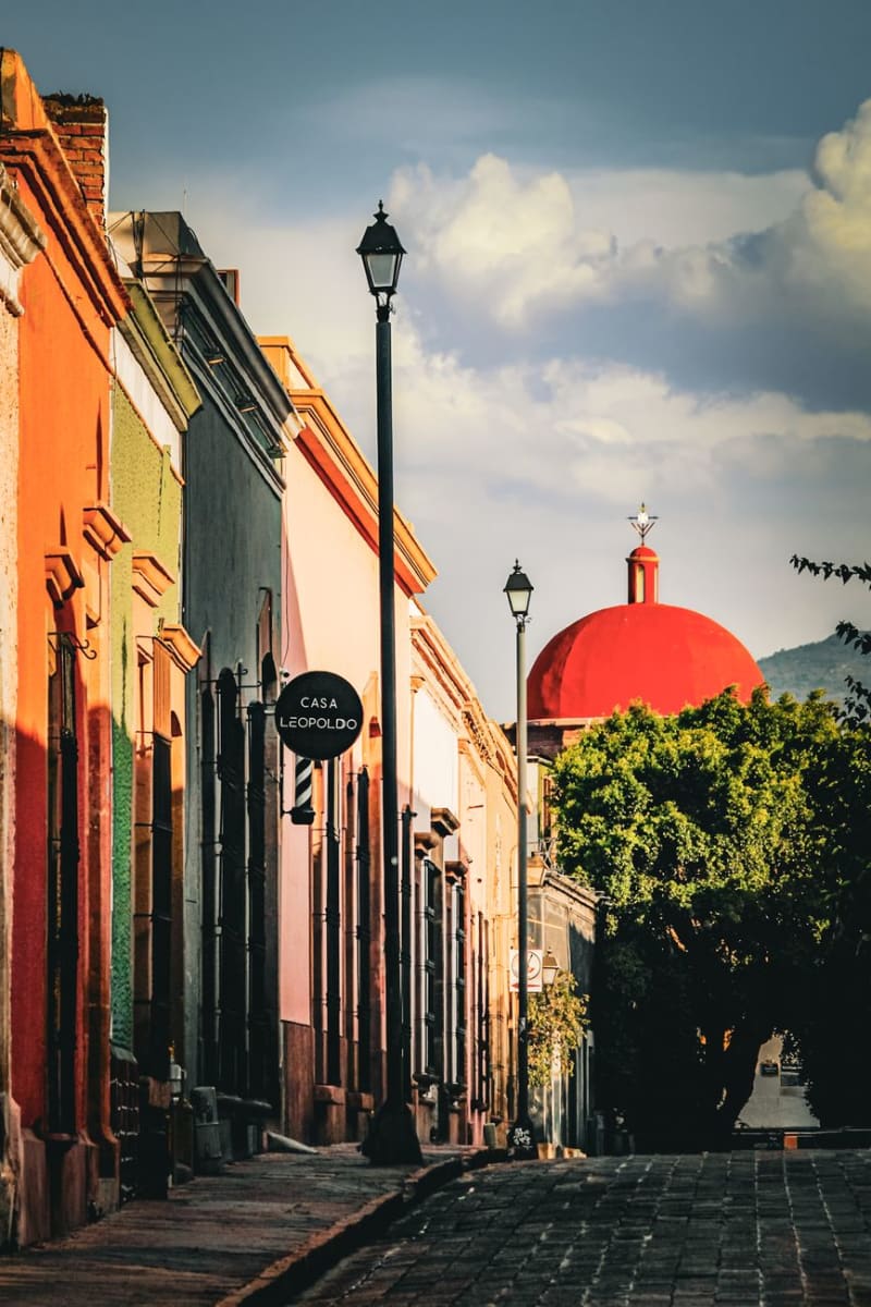 mexico
 Santiago Papasquiaro
Santiago Papasquiaro sits four hours into the Sierra Madre Occidental from Durango City, at 1,800 meters in a valley that the Tepehuan people have farmed for centuries before any Spanish road arrived. The town is a quiet market center — apples and pears and corn from the surrounding hills, pine and oak forest closing in above — and the man who ran my guesthouse explained the valley's history over dinner with the patience of someone who had never had to make it accessible to an outsider before.
Explore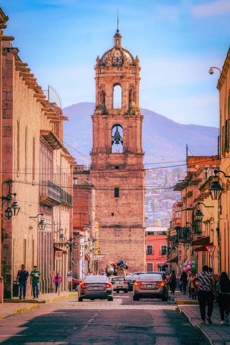 mexico
 Durango City
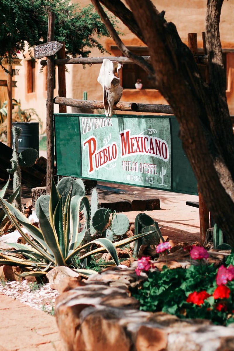
Durango City is the colonial capital of a state better known outside Mexico for the westerns John Wayne and Sam Peckinpah filmed in its surrounding sierra — the original movie sets are still standing on the edge of town. The historic center has a baroque cathedral, an alley named for its scorpion problem, and a highway to Mazatlán that crosses the Sierra Madre and is one of the most dramatic drives in the country. I arrived having watched a John Ford film the night before and spent the first two hours half-expecting a stagecoach.
Explore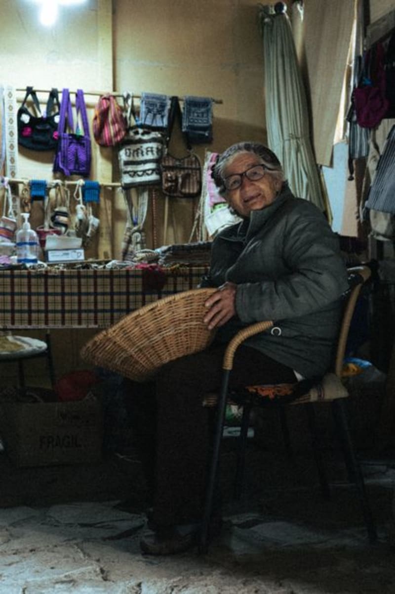 mexico
 Tepehuanes
Deep in the Sierra Madre Occidental, Tepehuanes is the ceremonial and commercial heart of the Tepehuan people. Its weekly market pulls communities down from the high sierra with crafts, medicinal plants, and foods that exist nowhere else in Mexico.
Explore