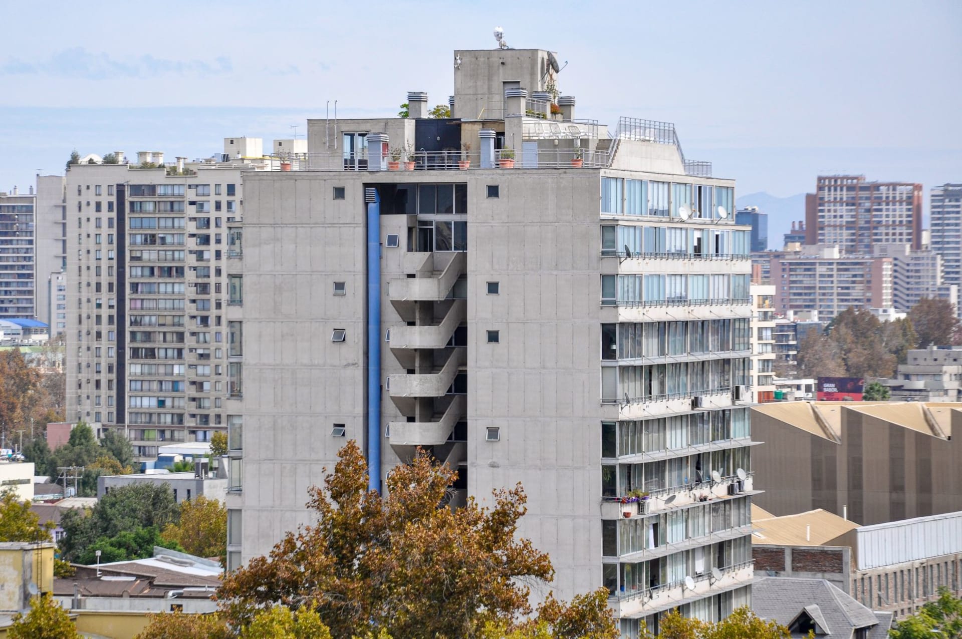
Santiago Papasquiaro
"Four hours on a mountain road, an apple from a crate outside a tienda, and then a man who explained the whole valley to me over a bowl of beans. That's a good day."
Santiago Papasquiaro sits four hours into the Sierra Madre Occidental from Durango City, at 1,800 meters in a valley that the Tepehuan people have farmed for centuries before any Spanish road arrived. The town is a quiet market center — apples and pears and corn from the surrounding hills, pine and oak forest closing in above — and the man who ran my guesthouse explained the valley's history over dinner with the patience of someone who had never had to make it accessible to an outsider before.

The road from Durango City into the Sierra Madre Occidental is one of those roads that begins straightforwardly enough — two lanes, good pavement, a gas station at the edge of town — and then gradually reveals its true character over the next couple of hours. By the time you are deep into the sierra, you are on a road that requires your full attention and rewards it with views that make you understand why the Tepehuan have lived in these mountains since before anyone was counting. Pine and oak, then more pine, then pine so thick and tall that the light comes through it in columns, and the road cutting through the topography in curves that assume you will slow down and look.
Santiago Papasquiaro appears in the valley below you before you reach it, which is the best way to arrive at a mountain town. I could see the river — the Papasquiaro — a silver line through the agricultural land of the valley floor, and the town arranged around a small grid of streets, and beyond it the hills closing in again. I had been driving for just over four hours from Durango City. I stopped at the first tienda I saw and bought an apple from a crate outside, and it was excellent — local, just off a tree somewhere up the valley, the kind of apple that makes the ones in French supermarkets seem like a theoretical concept.
The Valley and the O’dam
The Tepehuan of Durango — who call themselves O’dam, meaning “the people” in their Uto-Aztecan language — have been in this valley and the surrounding sierra for a very long time. Unlike many indigenous communities in Mexico, the Tepehuan of the high sierra maintained significant autonomy through the colonial period, in part because the territory is simply difficult to control from outside. The Spanish built missions; the O’dam absorbed some of what the missions offered and maintained the rest of their ceremonial life, including the mitote — a ritual dance ceremony involving extended prayer, communal gathering, and the drinking of tesgüino, a fermented corn beer that has its own ceremonial logic.
The valley around Santiago Papasquiaro produces apples, pears, and corn, which sounds modest until you consider the altitude and the climate — cold winters, temperate summers, frost possible well into spring. That anything productive grows here is a function of centuries of agricultural knowledge applied to difficult land. The orchards I drove past on the way into town were old — the trees gnarled and wide-spread in the way that takes decades.

The Guesthouse Dinner
I found a guesthouse near the plaza run by a man I’ll call Don Ernesto, which may or may not be his name but captures something about his manner — deliberate, unhurried, possessing the specific authority of a person who has spent most of his life in one place and knows everything about it. He showed me to a room, asked where I had come from, and appeared neither surprised nor particularly interested that I had driven from Durango City for no urgent reason. People come here for reasons they don’t need to explain, apparently.
Dinner was in the guesthouse kitchen, which doubled as a family room. Beans, rice, roasted chiles, fresh tortillas, a bowl of soup that had come from something that had been slow-cooked long enough to give it body and depth. Don Ernesto sat across from me and, without prompting, began to explain the valley. Not for me specifically — it was not a performance for a guest — but in the way of someone who thinks about something constantly and finds an occasion to articulate it. He talked about the Tepehuan mitote ceremony and why it happens in the way it does. He talked about the apple variety that grows best at this altitude. He talked about the water rights in the valley and how they were negotiated across generations.
I asked almost no questions. The conversation did not require them.
Getting There, Where to Stay
The drive from Durango City is approximately four hours via Federal Highway 40 toward Mazatlán and then a turnoff north into the sierra — check current road conditions before going, as the mountain roads can be affected by weather. There is second-class bus service from Durango, which will take longer but will let you watch the landscape without worrying about the curves.

The town has basic guesthouse accommodation — nothing marketed, nothing with a website, but functional and clean and run by people who will feed you if you ask. This is the Sierra Madre: bring a jacket even in summer, bring cash, and do not plan a tight schedule. The road will loosen it for you.
Keep exploring
More of Durango
Keep exploring
More from Durango
 mexico
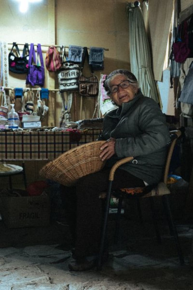
 Tepehuanes
Deep in the Sierra Madre Occidental, Tepehuanes is the ceremonial and commercial heart of the Tepehuan people. Its weekly market pulls communities down from the high sierra with crafts, medicinal plants, and foods that exist nowhere else in Mexico.
Explore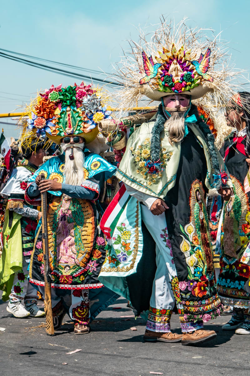 mexico
 Canatlán
Set at over 2,000 meters in the Durango highlands, Canatlán is apple-and-pear country with a mining-era centro that feels more Colorado than Sinaloa. The Valle del Guadiana turns deep green in summer, and the air has a sharpness you don't expect from a Mexican afternoon.
Explore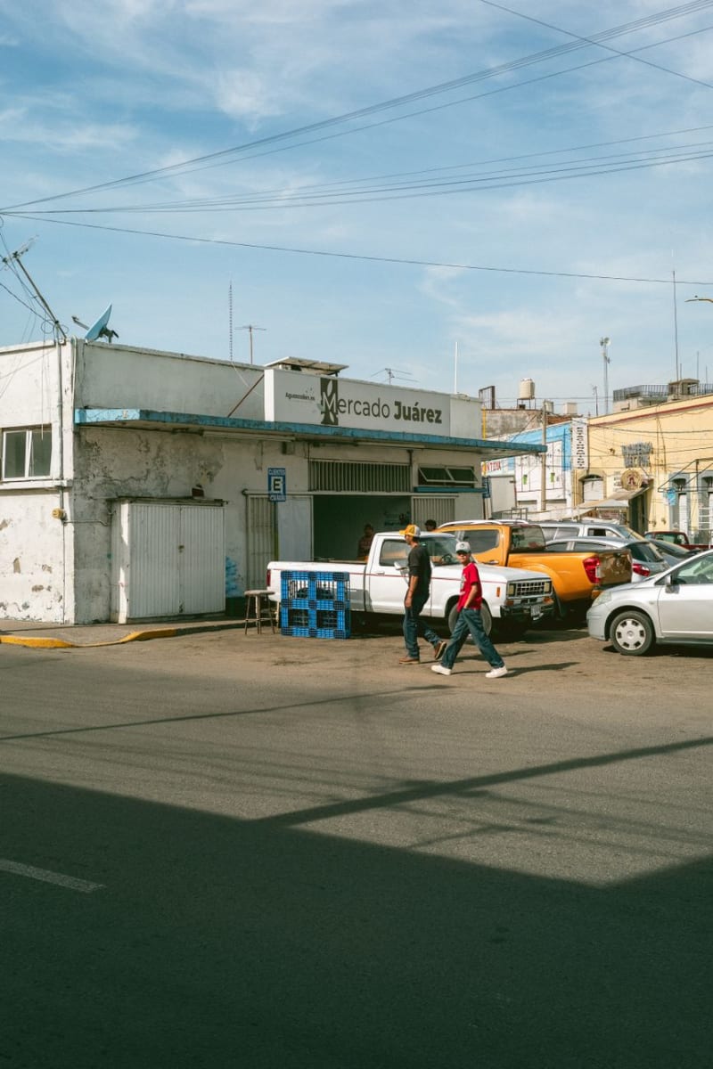 mexico
 Canatlán
Canatlán occupies a high plateau between Durango city and the sierra, where volcanic ridges frame a valley that produces extraordinary strawberries and regional mezcal in equal measure. It is a place that earns its reputation quietly, through what you eat and drink rather than what you photograph.
Explore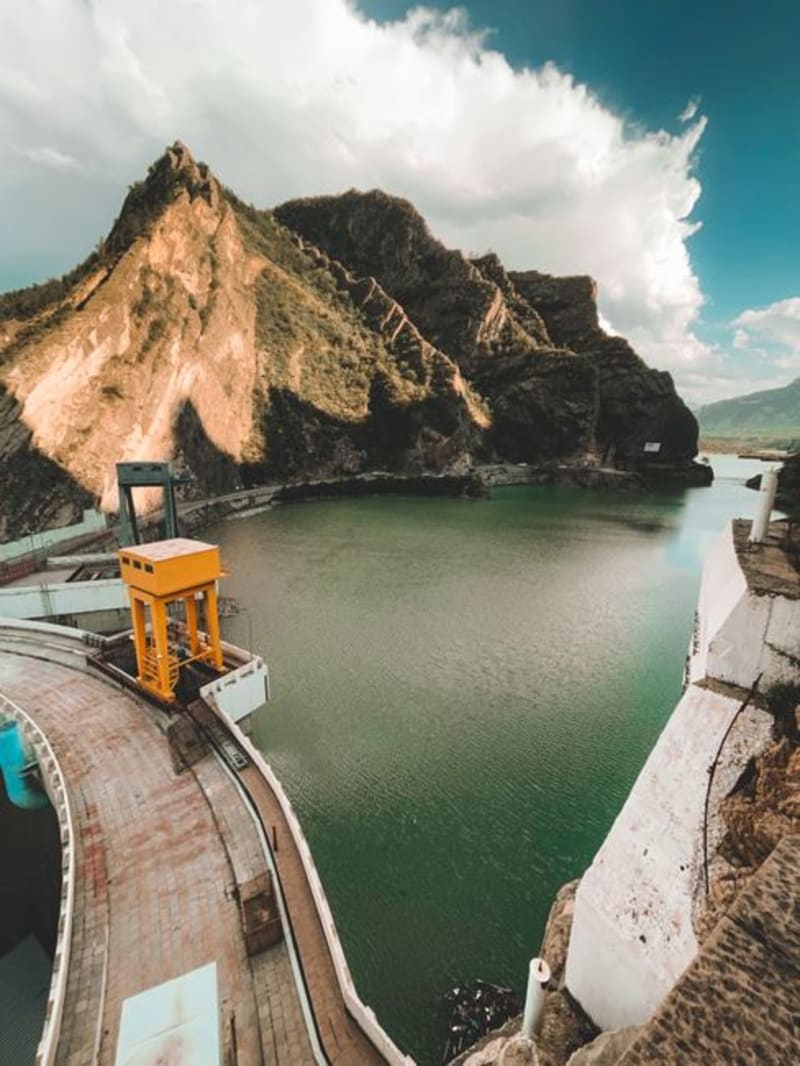 mexico
 El Palmito
A roadside stop on the mountain highway between Durango city and Mazatlán, where the Presa Palmito reservoir cuts a long blue slash into pine and canyon country below the dam wall. Most drivers fly past; the ones who stop tend to stay longer than they planned.
Explore mexico
 San Dimas
A historic gold-and-silver mining district buried deep in the Sierra Madre Occidental of Durango, reached by the wild mountain road toward Mazatlán. Dramatic barrancas and endless pine forest, the old mines of Tayoltita hidden in the canyons, and the feeling of being genuinely far from everything.
Explore mexico
 Topia
A colonial silver-mining town at 1,800 metres in the Sierra Madre, Topia sits at the end of a road that demands genuine commitment — unpaved switchbacks, river crossings, three hours from Durango city. The mines are mostly sealed now, but the stone church is intact, the plaza still functions the way plazas are meant to, and the surrounding ridgelines offer a remoteness that is increasingly hard to find.
Explore