El Palmito
"I was in a hurry to reach Mazatlán and the reservoir made me an hour late — I have been late for far worse reasons."
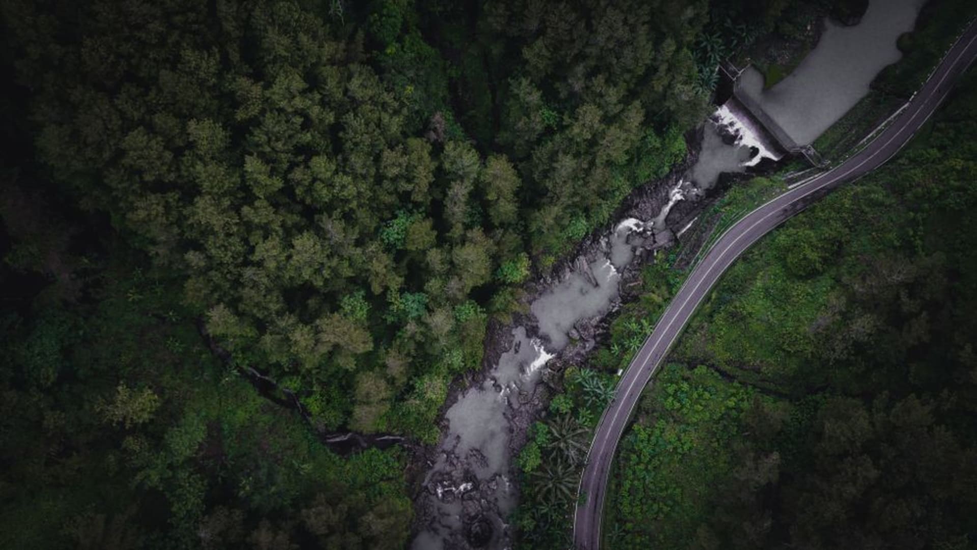
A roadside stop on the mountain highway between Durango city and Mazatlán, where the Presa Palmito reservoir cuts a long blue slash into pine and canyon country below the dam wall. Most drivers fly past; the ones who stop tend to stay longer than they planned.

I pulled over without deciding to. The road between Durango city and Mazatlán demands most of your attention — the curves come fast on the descent and the trucks coming the other way do not always stay in their lanes — but somewhere past the last pines the guardrail fell away and there it was below: the Presa Palmito, a long body of water so blue it looked placed rather than formed, sitting at the bottom of a canyon the road had spent the last hour skirting. I got out. I was supposed to be in Mazatlán by evening.
The Dam Wall and What It Holds
The Presa Palmito is a hydroelectric reservoir built in the 1950s, though nobody at the roadside seems very interested in that history. What they are interested in — what I became interested in the moment I walked out to the edge of the dam wall — is the drop. From the concrete parapet you look down into the gorge below the dam face, maybe a hundred and fifty meters of bare rock and scrub falling toward the old riverbed, and then you turn around and look back at the water, which stretches north between walls of pine forest until the canyon bends and takes it out of sight. The light at midday is brutal and flattening. Come in early morning or late afternoon and the canyon catches shadow first while the reservoir surface holds the sky. The green-to-blue of the water shifts depending on where you stand. I walked the length of the dam wall twice before I trusted my eyes.

The Road That Gets You Here
The highway between Durango city and Mazatlán — Federal 40, known on every map and in every truck driver’s nightmare as the Espinazo del Diablo, the Devil’s Backbone — is not a road you drive passively. It climbs into the Sierra Madre Occidental through switchbacks that occasionally double back on themselves, passing through pine forest and then dropping toward the Pacific coast with a kind of controlled aggression. The small community of El Palmito sits near the reservoir, and the roadside here has the quiet industry of a mountain transit point: a few comedor stalls selling gorditas and atole to drivers who have made it this far, a fuel stop, dogs who have learned to wait patiently for scraps. I had a cup of coffee at a plastic table watching a family of four from Sinaloa attempt to photograph themselves against the reservoir view with progressively longer arms. The gorditas were thick and hot and filled with frijoles. I ordered two.

A Stop Worth Planning For
El Palmito is not a destination in the way Durango city or Mazatlán are destinations — there is no museum, no colonial center, no curated attraction. What there is: one of the more dramatic reservoir views I have found from a road shoulder in Mexico, and an honest pause in the middle of a highway most people drive too fast. If you are doing the Durango-Mazatlán corridor, build in ninety minutes here. Walk the dam wall. Eat something. Look at the water until it looks back at you. The light is best in the late afternoon, when the canyon walls cast long shadows and the reservoir turns a shade darker than you expect.

Getting There
El Palmito sits on Federal Highway 40 between Durango city (roughly two hours east) and Mazatlán (roughly two hours west, road conditions permitting). Look for the dam wall and reservoir pullout as you descend toward the coast. No public buses stop here; this stretch is best covered by car or colectivo taxi from Durango city, where shared rides toward Mazatlán are easy to find.
Keep exploring
More of Durango
Keep exploring
More from Durango
 mexico
 Santiago Papasquiaro
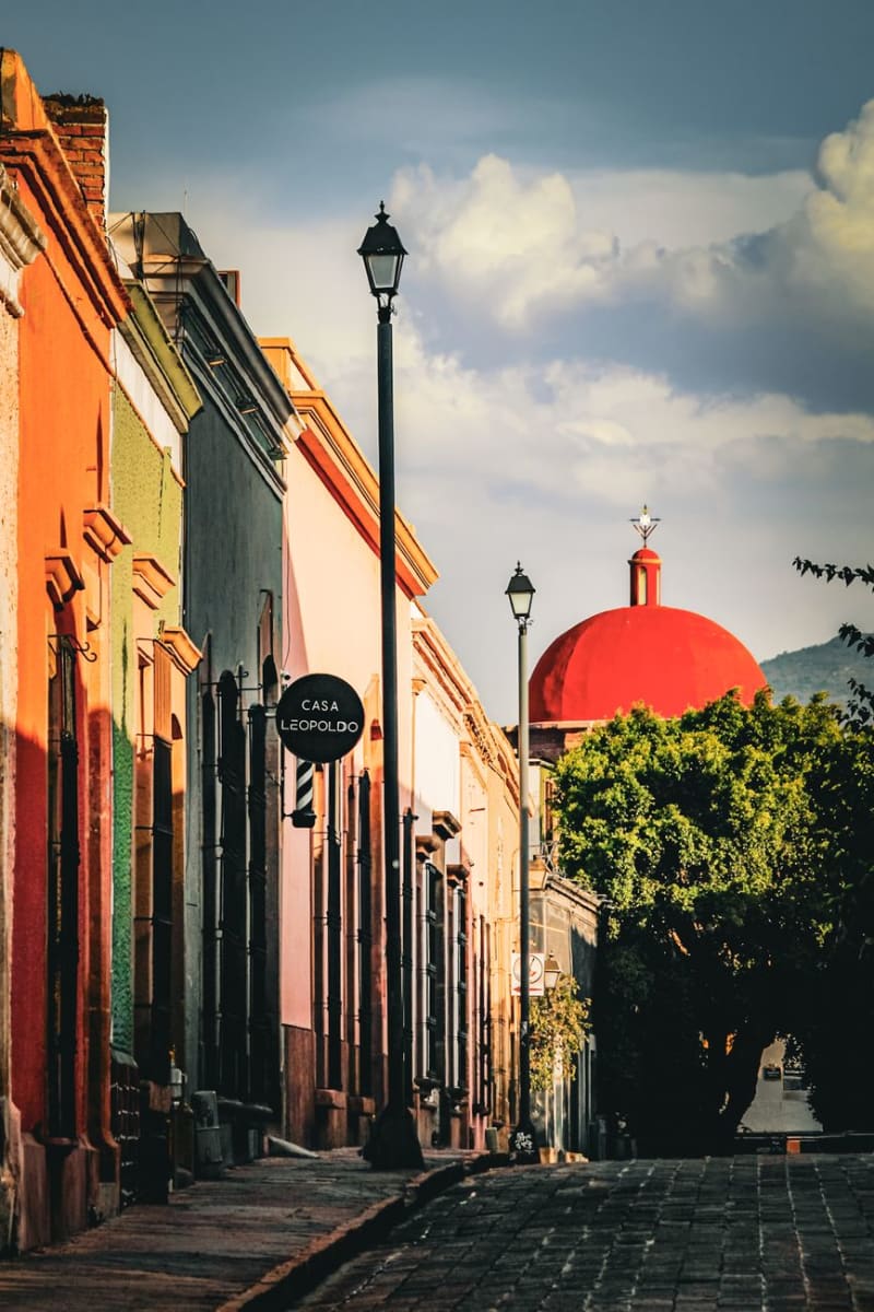
Santiago Papasquiaro sits four hours into the Sierra Madre Occidental from Durango City, at 1,800 meters in a valley that the Tepehuan people have farmed for centuries before any Spanish road arrived. The town is a quiet market center — apples and pears and corn from the surrounding hills, pine and oak forest closing in above — and the man who ran my guesthouse explained the valley's history over dinner with the patience of someone who had never had to make it accessible to an outsider before.
Explore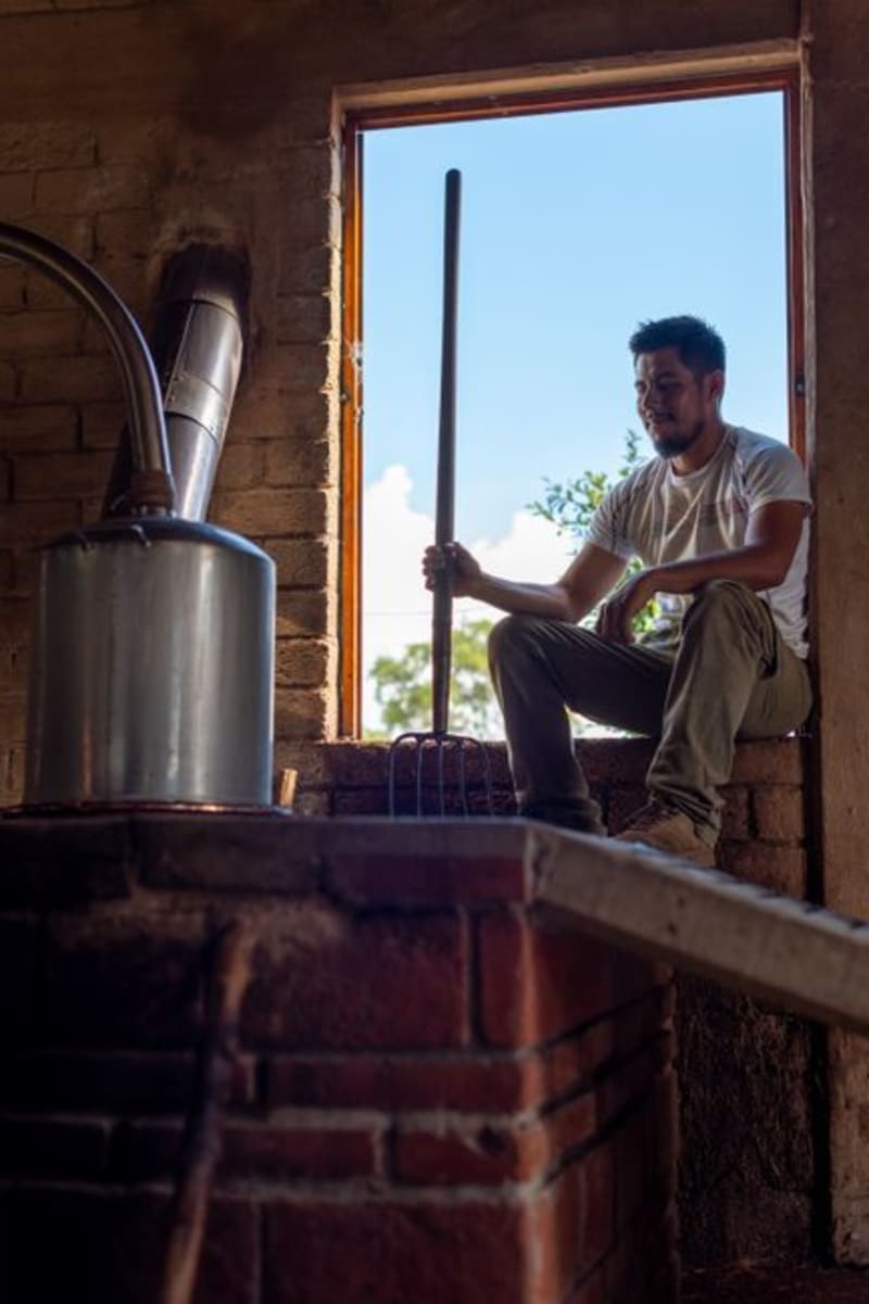 mexico
 San Juan del Río, Durango
A mezcal-producing village tucked into the rocky draws of the Durango Sierra Madre, where clay-pot distilleries have been operating the same way for two centuries. This is not the Querétaro San Juan del Río — this one is quieter, harder to reach, and worth every kilometer of dirt road.
Explore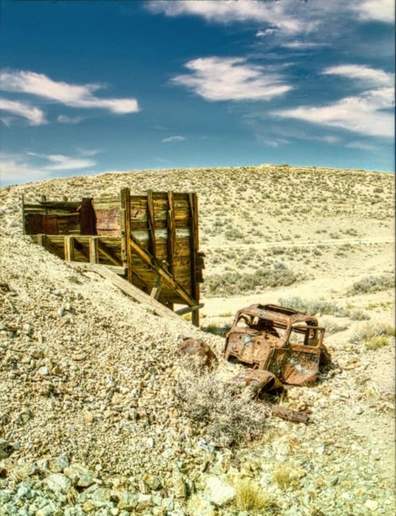 mexico
 Mapimí
A ghost town strung over silver mine shafts and joined to the living world by the longest hanging bridge in Mexico, Mapimí is where industrial ruin meets the blank immensity of the Bolsón de Mapimí — a desert so quiet it has been swallowing radio signals and compass readings, or so they say, since at least 1970.
Explore mexico
 Canatlán
Set at over 2,000 meters in the Durango highlands, Canatlán is apple-and-pear country with a mining-era centro that feels more Colorado than Sinaloa. The Valle del Guadiana turns deep green in summer, and the air has a sharpness you don't expect from a Mexican afternoon.
Explore mexico
 Canatlán
Canatlán occupies a high plateau between Durango city and the sierra, where volcanic ridges frame a valley that produces extraordinary strawberries and regional mezcal in equal measure. It is a place that earns its reputation quietly, through what you eat and drink rather than what you photograph.
Explore mexico
 Tepehuanes
Deep in the Sierra Madre Occidental, Tepehuanes is the ceremonial and commercial heart of the Tepehuan people. Its weekly market pulls communities down from the high sierra with crafts, medicinal plants, and foods that exist nowhere else in Mexico.
Explore