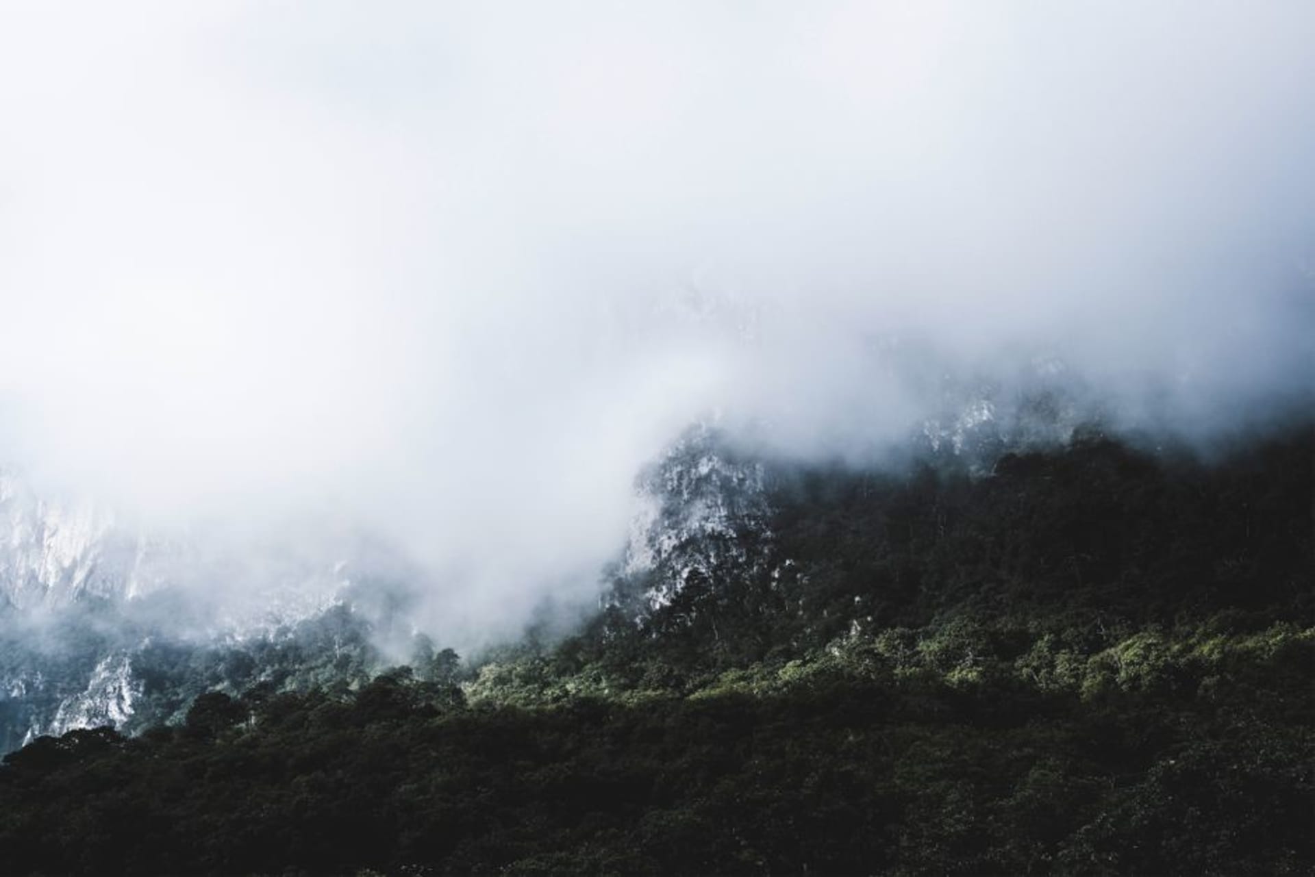
El Cielo
"I did not expect to find cloud forest in Tamaulipas, which is exactly the point of El Cielo — it has no interest in your expectations."
A UNESCO biosphere reserve in the Sierra Madre Oriental where the temperate forests of North America collide with Mesoamerican tropics, producing cloud forest at a latitude nobody thinks to look for it. The village of Alta Cima is the base for trails through cedar and oak where resplendent quetzals have been recorded — in Tamaulipas, of all places.

I drove up from Ciudad Victoria on a Tuesday morning in February, the road climbing steeply out of the semi-arid scrub and into something I was not prepared for. By the time I reached Alta Cima the air had gone cool and wet, the oaks were wrapped in bromeliads, and there was actual mist sitting in the valley below me. I checked the map again. Still Tamaulipas. Still, improbably, northeastern Mexico. The thing nobody tells you about El Cielo is that the surprise does not wear off — you keep looking at the forest and thinking: this cannot be right.
Where Two Worlds Overlap
The scientific name for what happens here is a transition zone, but that phrase does a poor job of conveying the strangeness of it. El Cielo sits at the point where the deciduous forests of eastern North America — the same oak and sweetgum associations you would recognize in Tennessee — run headlong into the cloud forest and tropical elements climbing up from the Gulf lowlands. The result is a reserve with four distinct vegetation zones stacked within a few kilometers of altitude, and a species list that reads like someone combined two field guides and hoped for the best. Resplendent quetzals have been documented in the upper cloud forest, hundreds of kilometers north of their recognized range. Jaguars have been recorded on camera traps. The trails out of Alta Cima pass through stretches of cedar and liquidambar where the canopy is dense enough to hold mist all morning, and where the silence is the specific silence of a forest that has not been heavily disturbed.

Alta Cima and the Village Rhythm
Alta Cima is a small ejido community, and the infrastructure for visitors is modest in a way I found genuinely refreshing. A few families run simple cabanas and will cook whatever they have — the night I arrived, that meant black bean soup, rice, and a piece of chicken with a salsa made from chiles I did not recognize and did not ask about. The main plaza has a small tianguis on weekend mornings where you can buy local honey, quelites gathered from the forest edge, and the occasional live chicken if that is what you are after. I was mostly after the honey, which was dark and slightly smoky and unlike anything I have found in Oaxaca. The community guides leave at dawn; if you show up without one you will get lost, and I say that from direct experience.

The Trails
The reserve has marked routes ranging from a two-hour loop near the village to full-day descents toward the lower tropical zones. The Cascada trail in the wet season is the obvious choice and earns it — a series of small waterfalls through mossy basalt with tree ferns growing at the edges. I preferred the ridge route above Alta Cima at first light, when the clouds are still filling the valleys below and the liquidambar trees catch whatever sun exists. Bring layers you are willing to lose to humidity.

Getting There
Ciudad Victoria is the closest city, roughly 90 kilometers from Alta Cima — about two hours on increasingly steep and winding roads. A colectivo runs from Victoria’s central market toward the reserve on weekend mornings, but for the upper trails a rental car or negotiated taxi from town is the practical option. Lodging in Alta Cima books up on Mexican holiday weekends; arrive mid-week and you will likely have the trails to yourself.
Keep exploring
More from Mexico
 mexico
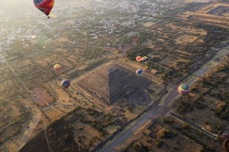
 Estado de México
The state that surrounds Mexico City on three sides — containing the world's largest pyramid at Cholula's neighbor Teotihuacán, the rock-carved Aztec temple at Malinalco, the sailing lake of Valle de Bravo, and the monarch butterfly forest above them all.
Explore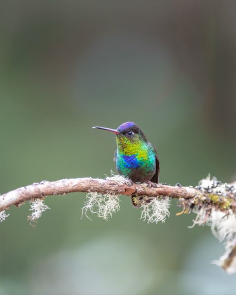 mexico
 Gómez Farías
A Huastec village at the precise altitude where Gulf lowland scrub surrenders to cloud forest, Gómez Farías is the access point for the El Cielo biosphere reserve — one of North America's northernmost quetzal habitats. The ejido guides here know these trails the way they know their own names.
Explore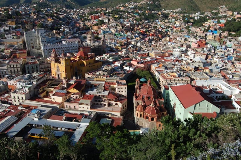 mexico
 Guanajuato
A candy-coloured colonial city built into a ravine, with underground streets, mummy museums, and Mexico's best student-town energy.
Explore mexico
 Guerrero
A Pacific state that contains three of Mexico's most distinct seaside identities — Taxco's silver in the mountains, Acapulco's faded glamour and cliff divers, and Zihuatanejo's fishing village that refused to become a resort — in a geography of dramatic sierra and tropical coast.
Explore mexico
 Hidalgo
A small central Mexico state with Cornish miners buried in Real del Monte, hexagonal basalt columns at Huasca de Ocampo, the Toltec warrior columns at Tula, and a highland landscape that connects the Valley of Mexico to the Gulf coast through a series of valleys and gorges.
Explore mexico
 Jalisco
Mexico's most recognizable cultural exports — tequila, mariachi, and the charreada — come from a state that stretches from the Pacific coast to the dry highlands, with Guadalajara as its urban anchor and a coastline that runs from resort to remote.
Explore