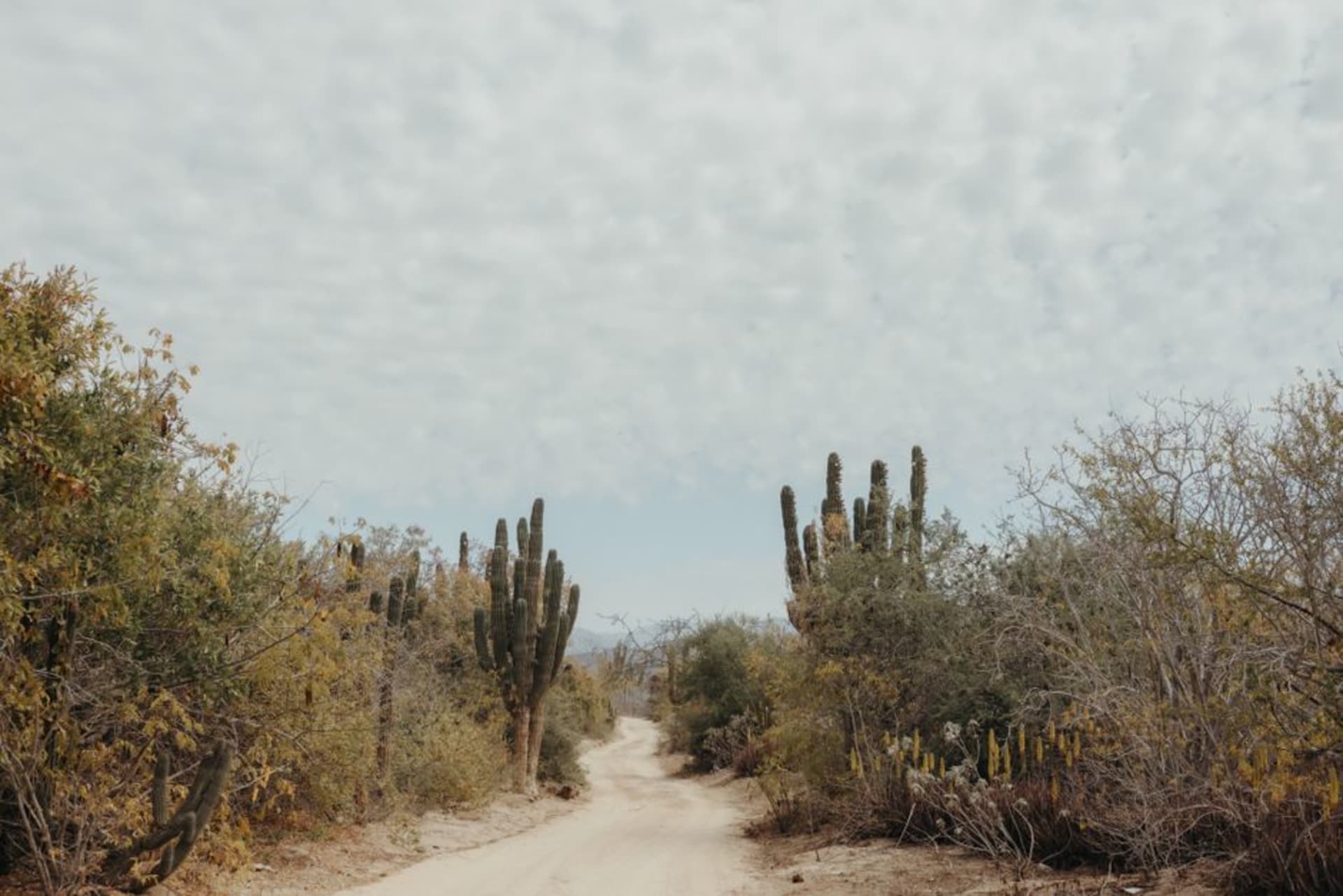
Mapimí
"The planks of the Ojuela bridge flex under your feet, three hundred meters of swaying cable strung over a century-old void — and on the far side, nothing but roofless walls and desert going on until it becomes sky."
A ghost town strung over silver mine shafts and joined to the living world by the longest hanging bridge in Mexico, Mapimí is where industrial ruin meets the blank immensity of the Bolsón de Mapimí — a desert so quiet it has been swallowing radio signals and compass readings, or so they say, since at least 1970.

I showed up on a Tuesday in early November, which meant I had the bridge almost entirely to myself. The parking area held one pickup with Chihuahua plates and a dog sleeping underneath it. The walk from the ticket booth to the canyon edge takes maybe four minutes — long enough to hear the wind change register and notice that the landscape is doing something unusual out here, pulling back from itself, growing emptier in a way that feels less like geography and more like a decision.
The Bridge at Ojuela
The Puente de Ojuela is 318 meters long and was built in 1898 to carry silver ore across the canyon from the mine to the processing hacienda on the far side. For several decades after its completion it was the longest suspension bridge in the world. Now it sways under day-trippers. The planks have gaps — some deliberate, some not, it’s genuinely difficult to tell — and through them you can see the mine shafts dropping into the hillside below, sealed with iron grates that don’t look particularly recent. The crossing takes about ten minutes if you walk at a normal pace. Most people don’t. There’s a specific quality of slowness that arrives at about the midpoint, when the canyon is fully below you and the ruins of the Ojuela hacienda appear on the far side: roofless, pale, organized against the mountain like a diagram of something that used to matter. I sat on a plank bench over there for twenty minutes eating an orange I’d bought in Hidalgo del Parral the morning before, watching the bridge move slightly in the wind. I was the only person on that side of the canyon.

The Ruins and the Silence
The hacienda complex waiting on the far side of the bridge was once a company town — offices, a chapel, a schoolhouse, a paymaster’s building, all constructed to service Compañía Minera de Peñoles, which pulled silver out of this canyon from the 1870s until the ore ran thin somewhere in the 1940s. What remains are walls, arched doorways, a courtyard where the November light falls cold and specific. The church skeleton is the most intact structure; you can still read the layout of pews in the concrete floor.
The story about the Zona del Silencio — a patch of desert roughly 50 kilometers north where a NASA test rocket went off-course in 1970, and where compasses supposedly spin and radio signals evaporate — is almost certainly more legend than physics. But legend has its own mass out here. In Mapimí’s central plaza, two men were discussing it in full seriousness over styrofoam cups of atole outside a farmacia on Calle Independencia. I didn’t interrupt. The living town — a few blocks of low adobe houses, a church with a cracked bell tower, a tianguis on Sunday mornings — functions as a quiet antechamber to the ruins across the canyon.

What to Know Before You Go
Arrive before ten in the morning if you can — the day tours from Torreón fill the bridge by midday and the atmosphere changes considerably. Entrance to the bridge runs around 80 pesos. Near the trailhead, a small restaurant called La Hacienda de Ojuela serves goat birria with flour tortillas the diameter of a hubcap; eat there before or after the crossing, there’s no reason to look further. If you’re intent on reaching the Zona del Silencio proper, budget for a guide and a 4x4 vehicle — the terrain doesn’t negotiate. I decided the silence I’d already found 40 meters above a sealed mine shaft was sufficient.

Getting There
Mapimí sits roughly 90 minutes north of Torreón via Highway 49. From Durango city, expect four hours by car. No direct bus reaches the ruins: take a regional bus from Torreón to Mapimí pueblo (about two hours), then arrange a taxi or a colectivo for the final six kilometers out to the bridge. October through March offers the most comfortable conditions — dry, clear, and cool enough to spend real time in the open ruins without the summer heat pressing down on everything.
Keep exploring
More of Durango
Keep exploring
More from Durango
 mexico
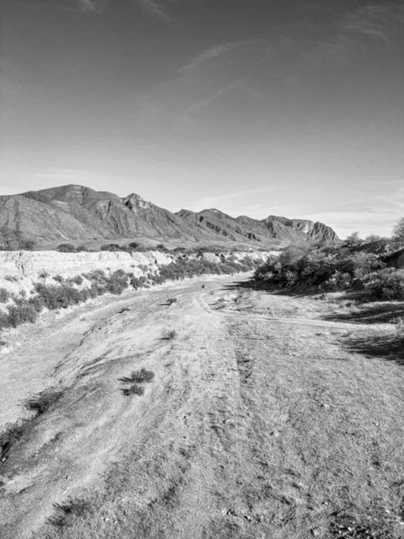
 Zona del Silencio
The Reserva de la Biósfera de Mapimí is a stretch of Chihuahuan Desert where legend insists compasses fail and meteorites seek the ground with unusual appetite. The science is mostly folklore. The landscape — red sand, towering cardón cacti, and the skeletal aqueduct of Ojuela — is entirely real.
Explore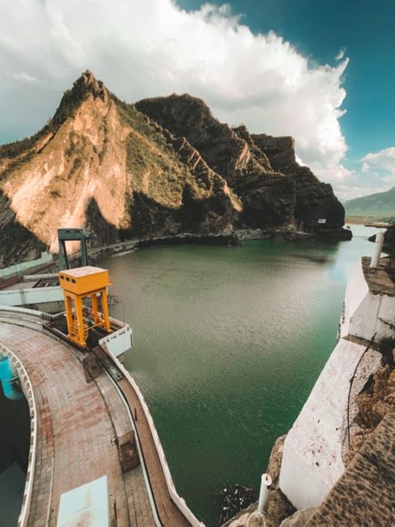 mexico
 El Palmito
A roadside stop on the mountain highway between Durango city and Mazatlán, where the Presa Palmito reservoir cuts a long blue slash into pine and canyon country below the dam wall. Most drivers fly past; the ones who stop tend to stay longer than they planned.
Explore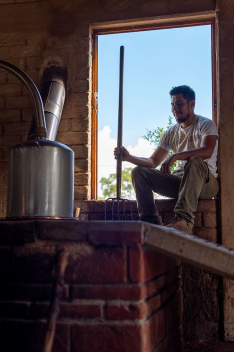 mexico
 San Juan del Río, Durango
A mezcal-producing village tucked into the rocky draws of the Durango Sierra Madre, where clay-pot distilleries have been operating the same way for two centuries. This is not the Querétaro San Juan del Río — this one is quieter, harder to reach, and worth every kilometer of dirt road.
Explore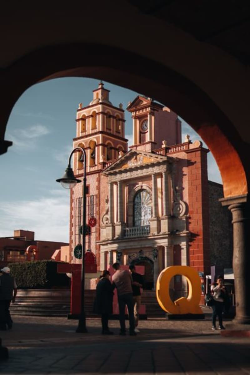 mexico
 Cuencamé
Cuencamé sits in the Durango lowlands where the sierras give way to ranching country, its colonial haciendas still defining the landscape after four centuries of cattle and silver. It is quietly becoming wine territory, though the world has not caught up to that fact yet.
Explore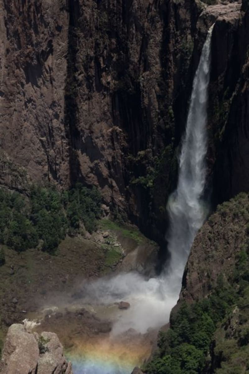 mexico
 Las Quebradas
Las Quebradas is the canyon country where the Sierra Madre Occidental unravels toward the Pacific, dropping from pine-forested ridges to near-tropical lowlands in the span of a single winding hour. The road that threads through it — old, narrow, and occasionally vertiginous — rewards patience with waterfalls, involuntary silences, and an ecological transition that happens faster than reason suggests it should.
Explore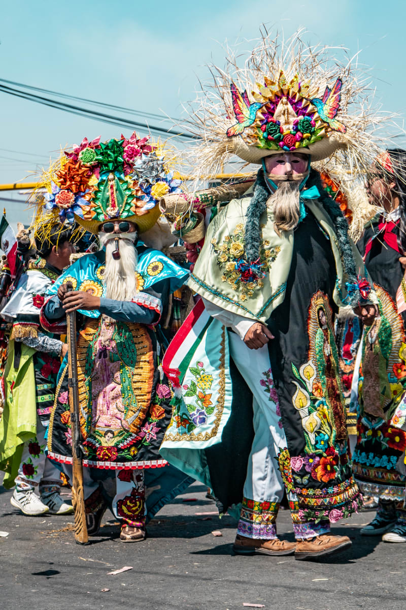 mexico
 Canatlán
Set at over 2,000 meters in the Durango highlands, Canatlán is apple-and-pear country with a mining-era centro that feels more Colorado than Sinaloa. The Valle del Guadiana turns deep green in summer, and the air has a sharpness you don't expect from a Mexican afternoon.
Explore