Súchil
"Mexico occasionally puts its strangest landscapes next to its most ordinary towns, and Súchil is a good argument for always taking the side road."
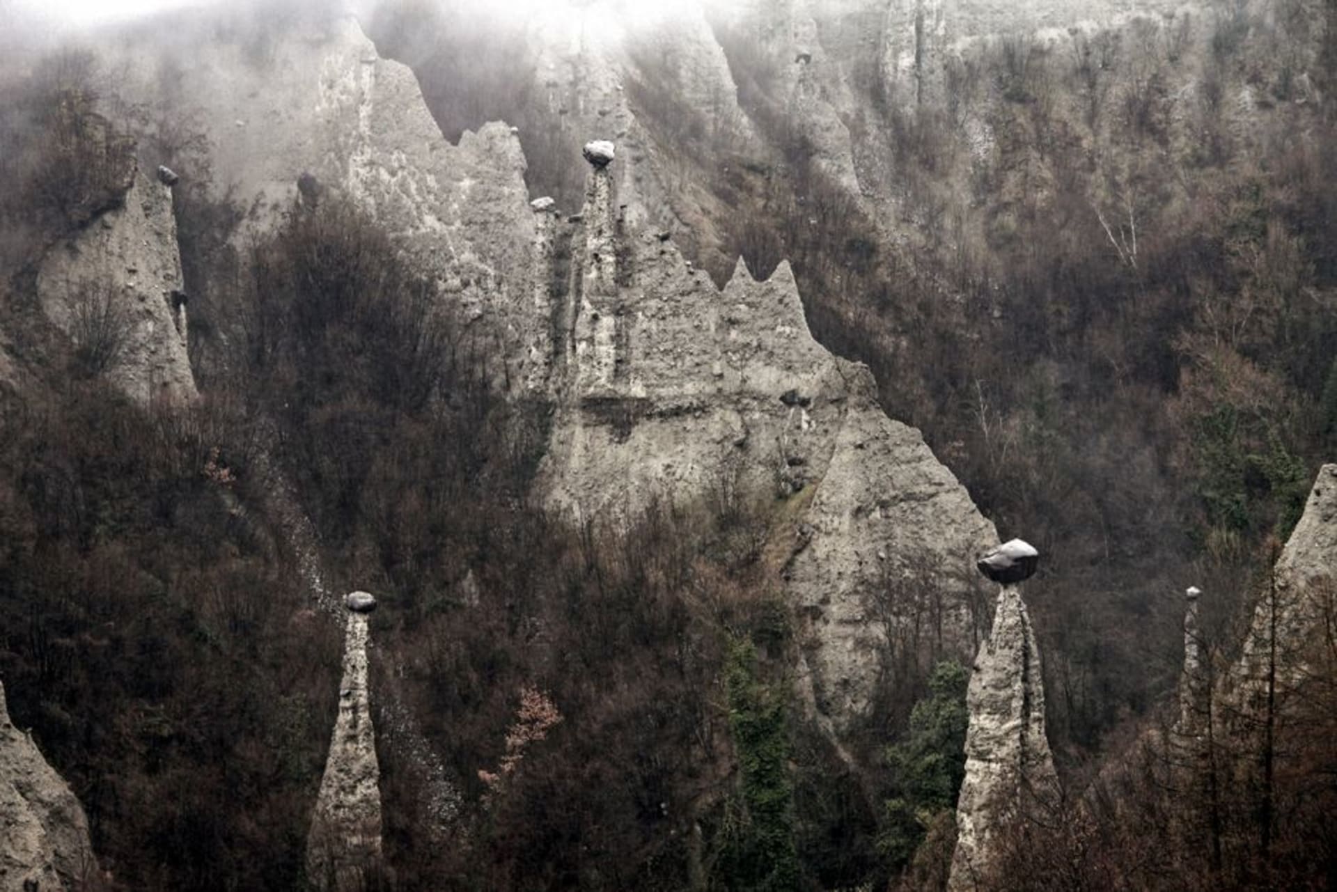
A small town in the Durango highlands where a well-preserved 17th-century Franciscan mission shares the itinerary with the Yerbanís — a cluster of volcanic tuff pillars eroded into improbable shapes that rise from the surrounding plateau.

I had been driving south from Durango city for about an hour when the plateau opened up and I saw them — columns of pale stone rising from the scrub at angles that suggested geological argument more than erosion. I pulled over not because I had planned to, but because the landscape demanded it. The road to Súchil branches off the highway at a point that looks, on maps, like a minor detour. It is a minor detour. That’s the thing about this part of Durango: the ordinary and the improbable keep arriving in the same sentence.
The Yerbanís
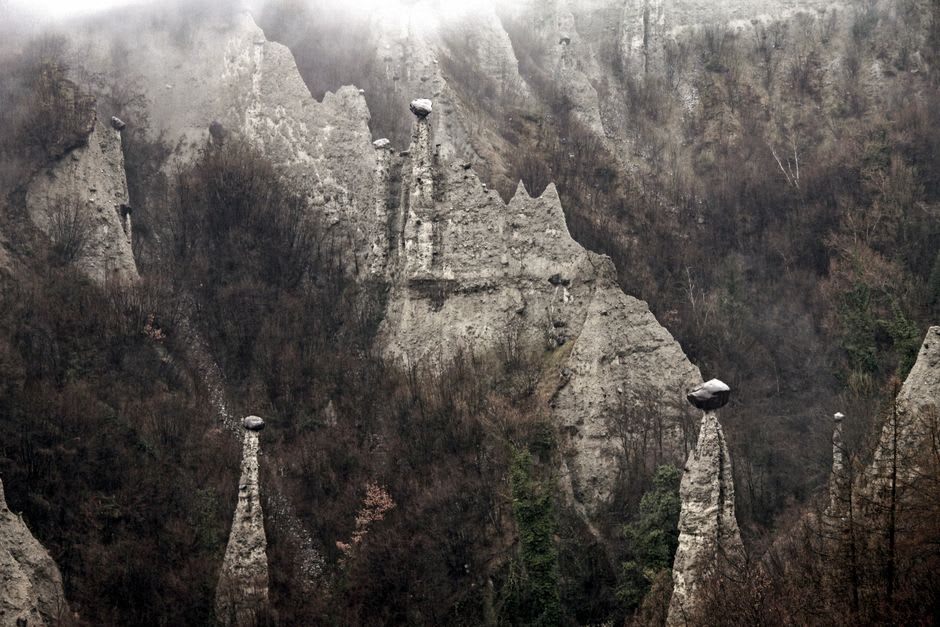
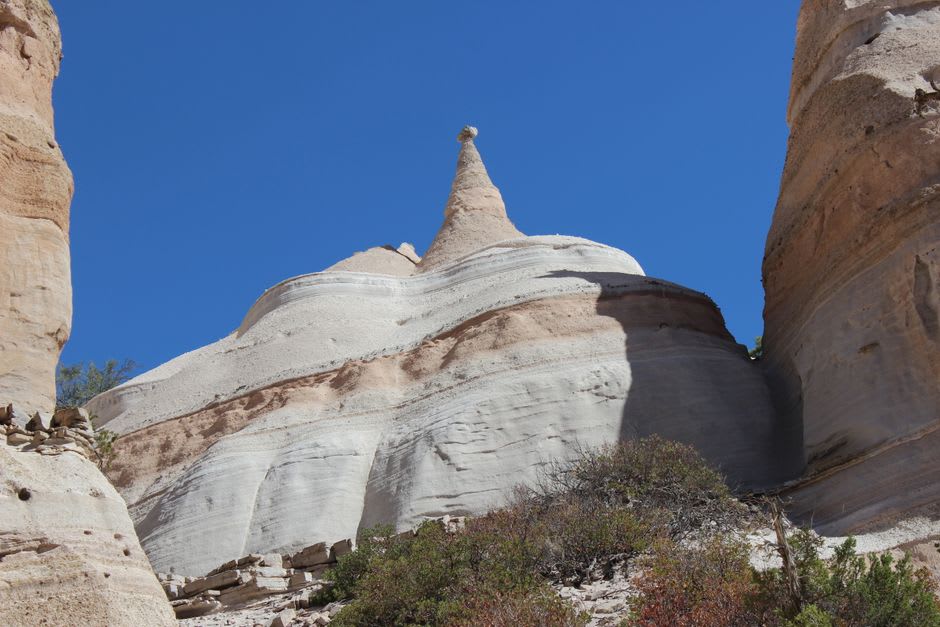
The formations sit a few kilometers outside town, accessible by a dirt track that rewards vehicles with some clearance and drivers without anxiety about dust. The pillars — locally sometimes called los honguitos for their mushroom-like profiles — are the product of centuries of wind and water working on volcanic tuff, the same geological stubbornness that produces hoodoos across the planet but somehow always manages to look like a local invention. Here they rise in clusters from the semi-arid plateau, some reaching six or seven meters, their caps wider than their bases in a way that reads as structurally impossible but clearly isn’t.
I spent a morning walking among them in late March, when the light came in at a low angle and turned the stone amber before ten o’clock. There is no official path, no entrance fee, no infrastructure of any kind. You park where the track ends, navigate between agaves and dry grasses, and find your own way through the formations. The silence is total except for wind. I kept waiting for the moment when the place would start to feel like a tourist site, and it never arrived.
The Mission and the Plaza
Back in Súchil, the Misión de Santiago Apóstol anchors the main plaza with the quiet authority of something that has been there long enough to stop needing to prove it. The church dates from the 17th century, built by Franciscan missionaries working their way through what was then Nueva Vizcaya, and it has survived well — the facade is spare, the interior cool and dim, with a carved wooden altarpiece that warrants more attention than most visitors give it. You can walk the whole interior in five minutes, but five minutes is the wrong pace for a space that old.
The town around the mission is small enough that the Sunday tianguis near the plaza constitutes a genuine event. A handful of small restaurants serve the Durango staples without ceremony: caldillo durangueño, the beef stew that defines the state’s kitchen, and gorditas de nata — thick corn cakes served with cream that taste like something your grandmother would have made if your grandmother were from Durango. I ate at a place on the corner of the plaza whose name I never caught, sitting outside with a horchata while a group of schoolchildren walked past in formation.
Timing and Expectations
The combination of the Yerbanís and the mission makes Súchil a half-day stop at minimum — longer if you arrive on a Sunday when the market is running. The formations are best in early morning or late afternoon, when the light is doing something useful with the stone. Midday in summer turns them into a heat exercise with no shade to speak of.
Bring water. There is no vendor, no food truck, nothing out at the pillars. The town has what it has, which is enough: a plaza, a church, a few places to eat, and an unusual geological accident ten minutes away. That combination is rarer than it sounds, and Súchil makes no effort to convince you otherwise, which is part of why it works.

Getting There
Súchil sits roughly 110 kilometers south of Durango city, reachable via Federal Highway 40 or the toll route south before cutting east. The road into town is paved. The Yerbanís track is unpaved but manageable in dry conditions with a standard car, though higher clearance helps after rain. I found no reliable public bus connection; a rental car from Durango is the practical option, and the drive itself through the highland scrub is worth the hour each way.
Keep exploring
More of Durango
Keep exploring
More from Durango
 mexico
 Vicente Guerrero, Durango
A Mennonite farming valley in the Sierra Madre foothills where Low German is spoken beside irrigation channels heavy with apples. August brings a festival that fills the air with cider and a quiet surreality particular to northern Mexico.
Explore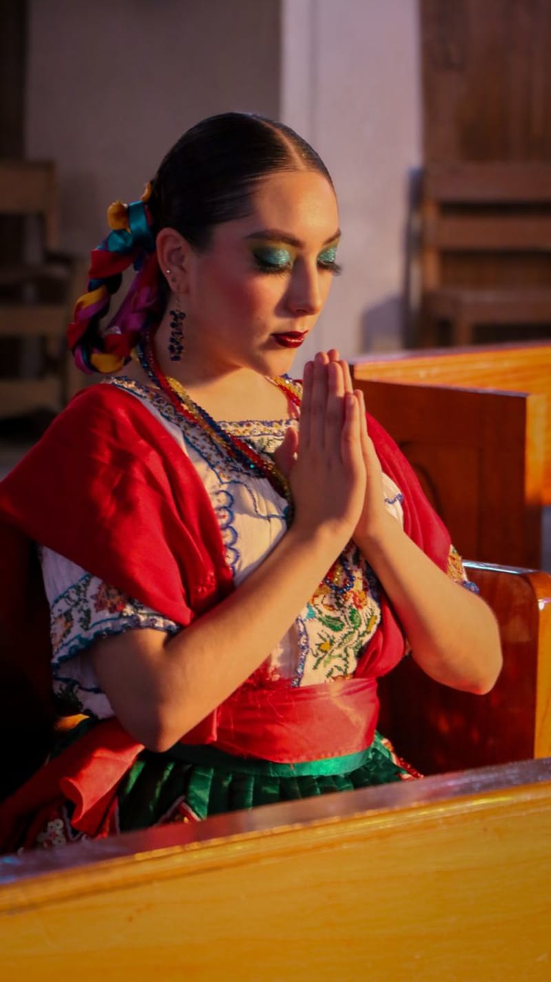 mexico
 Nombre de Dios
Nombre de Dios has been continuously inhabited since 1562, founded by Francisco de Ibarra as one of the first Spanish settlements in the north. The Ex-Convento de San Francisco anchors everything — a late-sixteenth-century Franciscan complex with original cloister frescoes where indigenous faces appear in European religious scenes, a collision of worlds painted directly onto the stone. I arrived in the afternoon and had the place entirely to myself for the better part of an hour.
Explore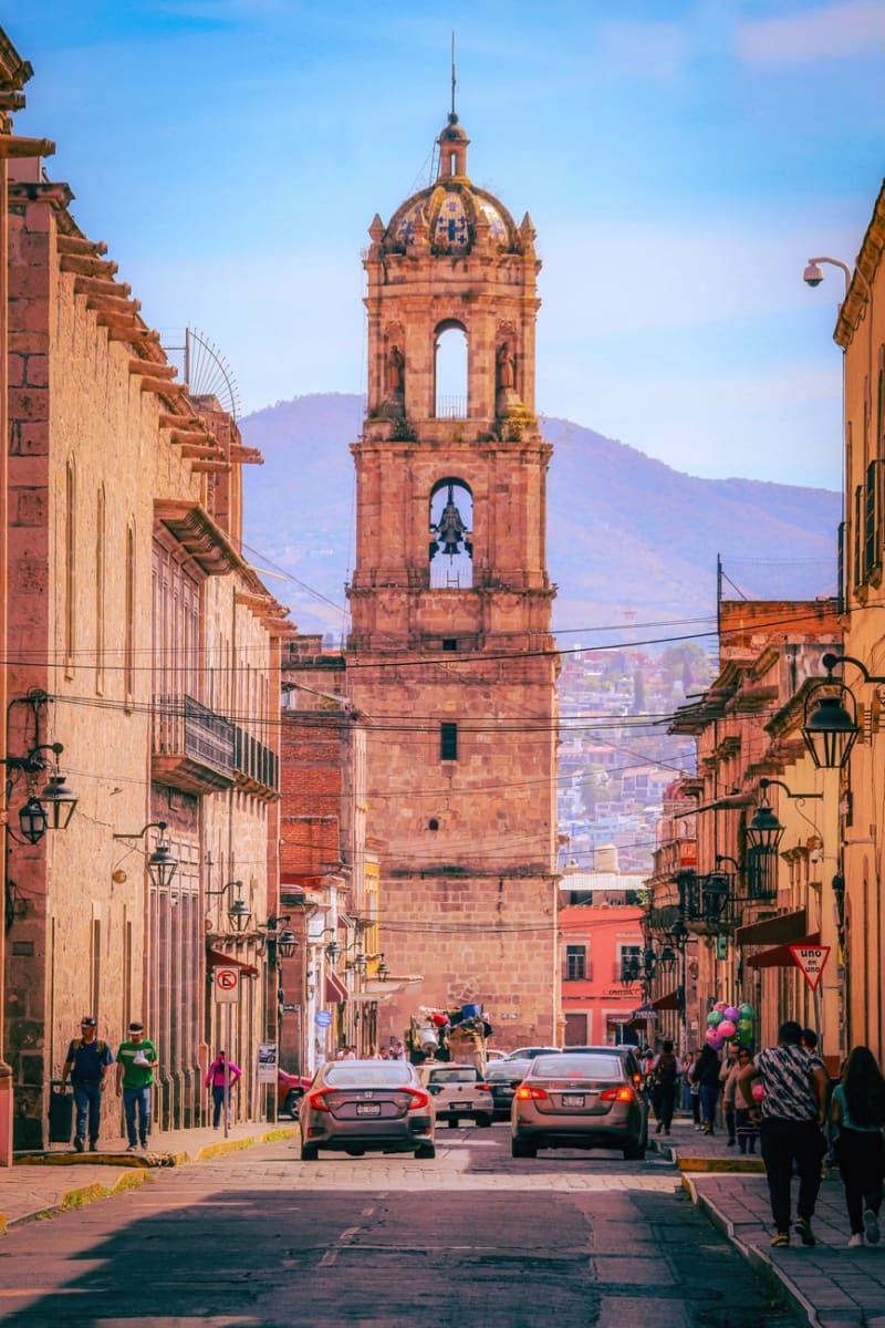 mexico
 Durango City
Durango City is the colonial capital of a state better known outside Mexico for the westerns John Wayne and Sam Peckinpah filmed in its surrounding sierra — the original movie sets are still standing on the edge of town. The historic center has a baroque cathedral, an alley named for its scorpion problem, and a highway to Mazatlán that crosses the Sierra Madre and is one of the most dramatic drives in the country. I arrived having watched a John Ford film the night before and spent the first two hours half-expecting a stagecoach.
Explore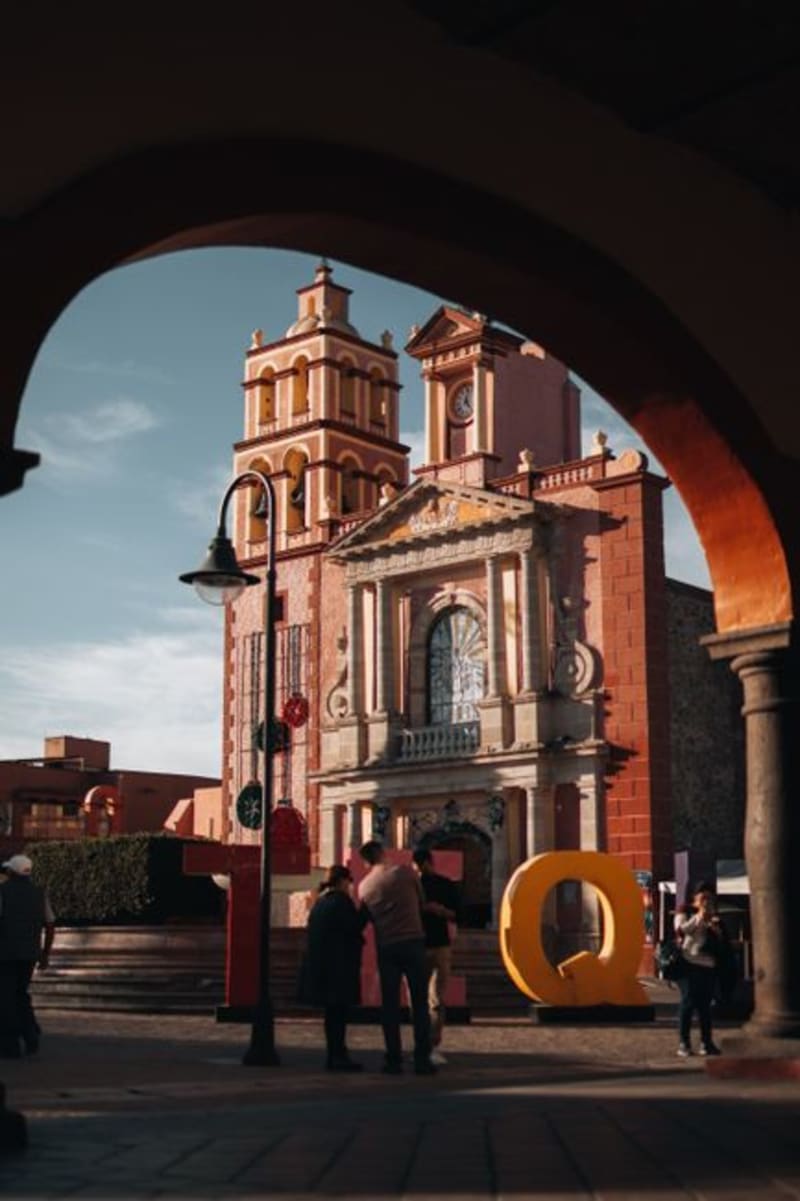 mexico
 Cuencamé
Cuencamé sits in the Durango lowlands where the sierras give way to ranching country, its colonial haciendas still defining the landscape after four centuries of cattle and silver. It is quietly becoming wine territory, though the world has not caught up to that fact yet.
Explore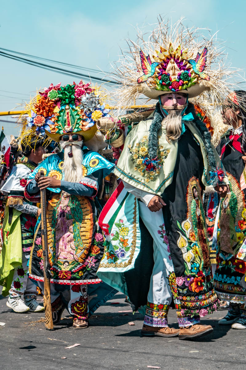 mexico
 Canatlán
Set at over 2,000 meters in the Durango highlands, Canatlán is apple-and-pear country with a mining-era centro that feels more Colorado than Sinaloa. The Valle del Guadiana turns deep green in summer, and the air has a sharpness you don't expect from a Mexican afternoon.
Explore mexico
 Canatlán
Canatlán occupies a high plateau between Durango city and the sierra, where volcanic ridges frame a valley that produces extraordinary strawberries and regional mezcal in equal measure. It is a place that earns its reputation quietly, through what you eat and drink rather than what you photograph.
Explore