Mexiquillo
"I pulled over expecting a picnic spot and found stone sculptures growing out of the pines — Mexiquillo is the kind of place that makes you wonder what else Durango is quietly keeping to itself."
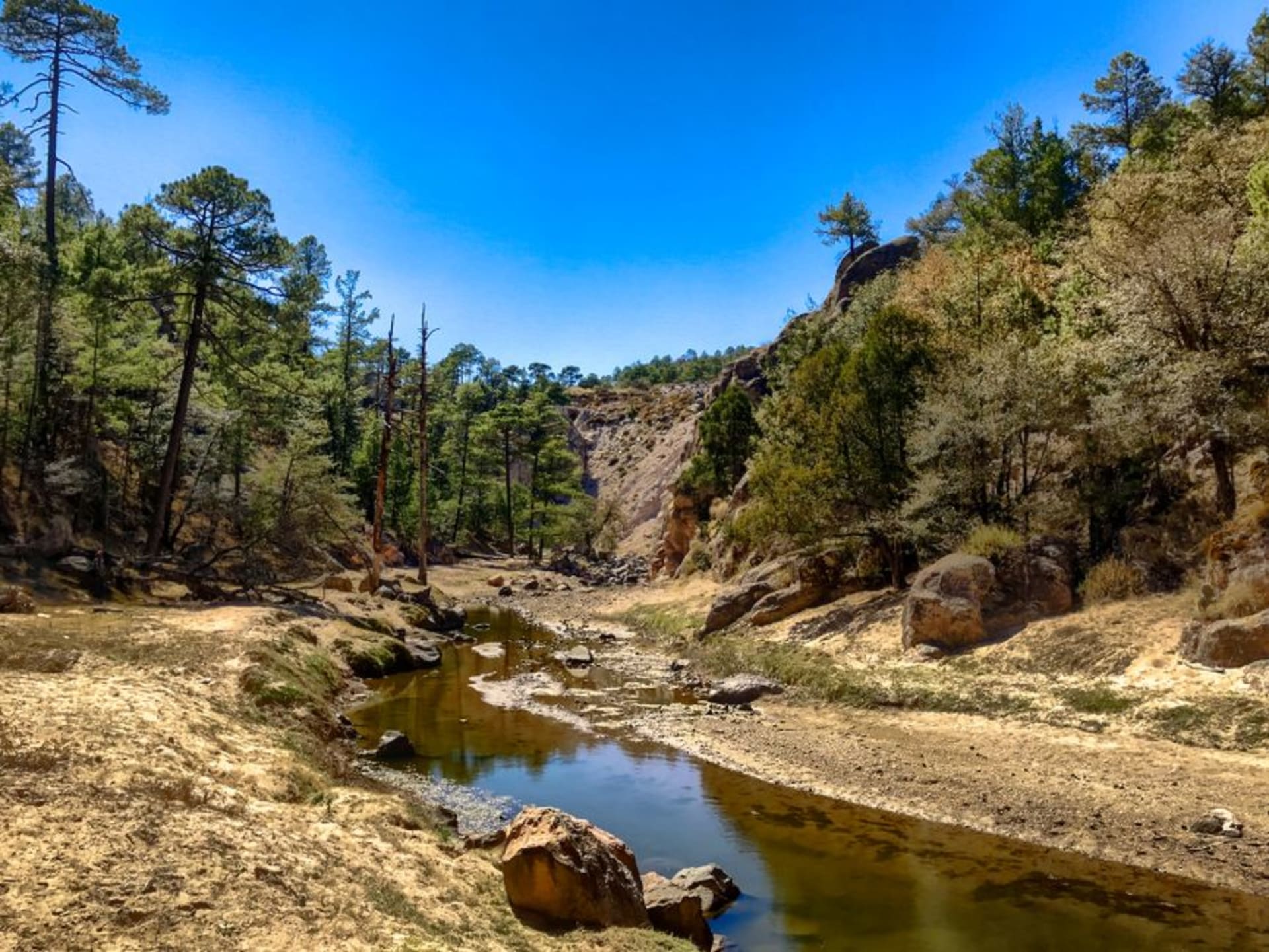
A forest reserve in the Sierra Madre Occidental where basalt columns the size of houses rise from the pines — volcanic formations that erosion has worked into mushroom shapes, standing in mountain mist most Durango road-trippers never stop to find.

The turnoff sits on the Durango-Mazatlán highway, easy to miss if you are doing what most people do: watching the canyon drop away to the left and trying not to think about the guardrail. The sign is a brown rectangle, the kind that implies a concrete picnic table and nothing interesting. I pulled in anyway. Three hundred metres into the pines, the first rock appeared through the trees — a dark basalt column, wider at the crown than the base, standing maybe eight metres in the needle-carpeted silence. I turned the engine off. There were six more visible from where I stood.
Stone That Outlasted Everything Around It
The formations at Mexiquillo are called hongos — mushrooms — and whoever named them was paying attention. They are columns of ancient volcanic basalt that erosion has carved over millennia into shapes that genuinely read, from the right angle, like enormous caps balanced on narrowing pedestals. Some stand alone in the forest. Others lean toward each other in clusters of three or four, slightly tilted, like they are in the middle of a conversation that started a very long time ago. The largest are fifteen metres or more, coated in moss and grey-green lichen, their surfaces cracked into tessellating plates. Walking among them on a morning when mist is still settled in the upper canopy, the whole scene occupies some uncertain register — not quite eerie, not quite beautiful, something in between that I kept failing to name. You half-expect them to shift. Geologically, they are the residue of ancient lava flows; the softer surrounding rock wore away first, and what remains is whatever proved hardest. There is something blunt and satisfying about that.

The Road Is Half the Point
Mexiquillo sits along the Espinazo del Diablo — the Devil’s Backbone — which is the kind of road that earns its name honestly. The highway from Durango city climbs into the Sierra Madre through country so dramatic that the drive itself functions as a destination: narrow lanes threading between canyon walls, forested ridgelines opening suddenly into thousand-metre drops, switchbacks that require genuine attention. The reserve sits at 2,400 metres and the air announces the altitude immediately — cool and resinous, sharply unlike the hot lowland highway you were on an hour before. Near the entrance on a weekday morning, a man was parked with a pickup and two large thermoses. I bought a cup of atole de guayaba and a gordita de maíz filled with frijoles negros and quelites, ate them leaning against the truck bed, and felt no urgency to be anywhere else. That is roughly the correct pace for Mexiquillo.

What to Bring, What to Expect
The formations are scattered through the forest over a few kilometres of trail — some marked with small wooden posts, some improvised by whoever walked there last. The point is to wander without a fixed route until you stop counting the rocks. Bring layers regardless of the month; at altitude the temperature falls fast once the sun gets behind the ridgeline, and the same mist that makes the place atmospheric makes it cold. There are no visitor services to speak of — no café, no ticket booth, no signage beyond the basic. The campsite near the entrance has a fire pit and a water point and not much more, which suits the place. Go on a weekday. Weekend traffic from Durango is light but it still breaks something.

Getting There
Mexiquillo is around 130 kilometres west of Durango city on Federal Highway 40 toward Mazatlán — roughly two hours by car, more if you stop on the Espinazo del Diablo, which you should. Watch for the brown reserve sign just past the El Salto junction. There is no bus service to the reserve directly; you need a car or a remis from El Salto. The site stays open most of the year but the highway can close in winter during heavy snowfall — check road conditions before leaving Durango.
Keep exploring
More of Durango
Keep exploring
More from Durango
 mexico
 Guanaceví
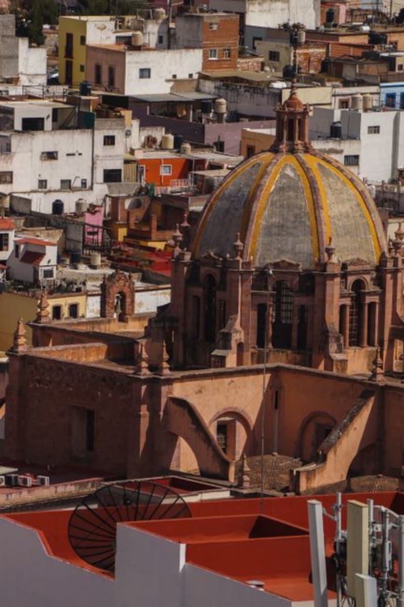
A colonial silver-mining town at 2,600 meters in the northern Sierra Madre, Guanaceví has been declining quietly for two centuries in a way that preserved its center almost intact. The drive from Durango city is long and the isolation on arrival is genuine — a combination that is increasingly difficult to find in Mexico.
Explore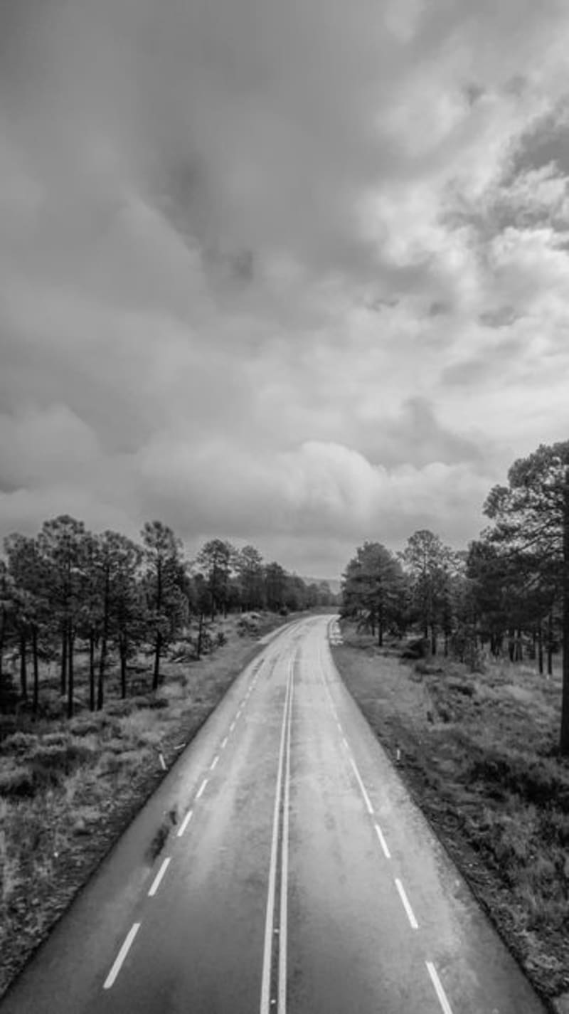 mexico
 El Espinazo del Diablo
The original Highway 40 through the Sierra Madre Occidental — a succession of hairpin switchbacks, near-vertical canyon drops, and cloud-forest corridors that most drivers now bypass via the toll freeway. What remains is a paved mountain crossing through some of Durango's sharpest terrain, largely empty, where fog moves in thick enough to erase the road ahead and the only vehicles you encounter tend to be the ones too large for the tunnel clearances on the new highway.
Explore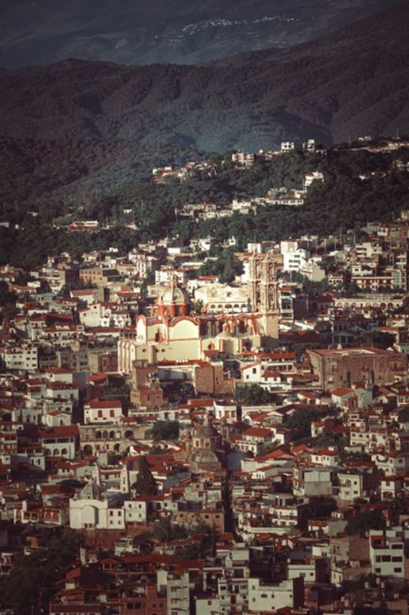 mexico
 Topia
A colonial silver-mining town at 1,800 metres in the Sierra Madre, Topia sits at the end of a road that demands genuine commitment — unpaved switchbacks, river crossings, three hours from Durango city. The mines are mostly sealed now, but the stone church is intact, the plaza still functions the way plazas are meant to, and the surrounding ridgelines offer a remoteness that is increasingly hard to find.
Explore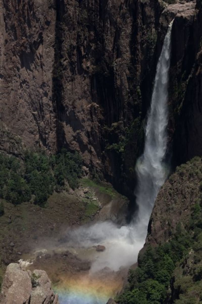 mexico
 Las Quebradas
Las Quebradas is the canyon country where the Sierra Madre Occidental unravels toward the Pacific, dropping from pine-forested ridges to near-tropical lowlands in the span of a single winding hour. The road that threads through it — old, narrow, and occasionally vertiginous — rewards patience with waterfalls, involuntary silences, and an ecological transition that happens faster than reason suggests it should.
Explore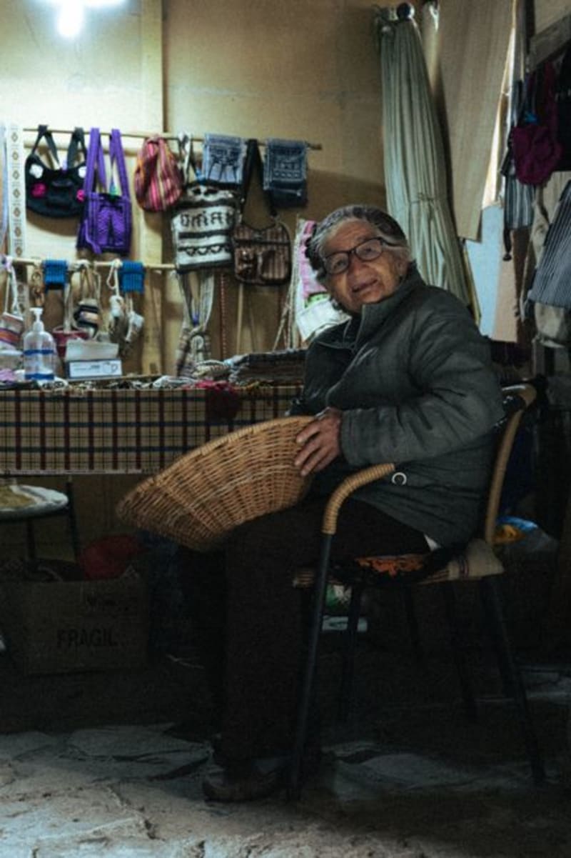 mexico
 Tepehuanes
Deep in the Sierra Madre Occidental, Tepehuanes is the ceremonial and commercial heart of the Tepehuan people. Its weekly market pulls communities down from the high sierra with crafts, medicinal plants, and foods that exist nowhere else in Mexico.
Explore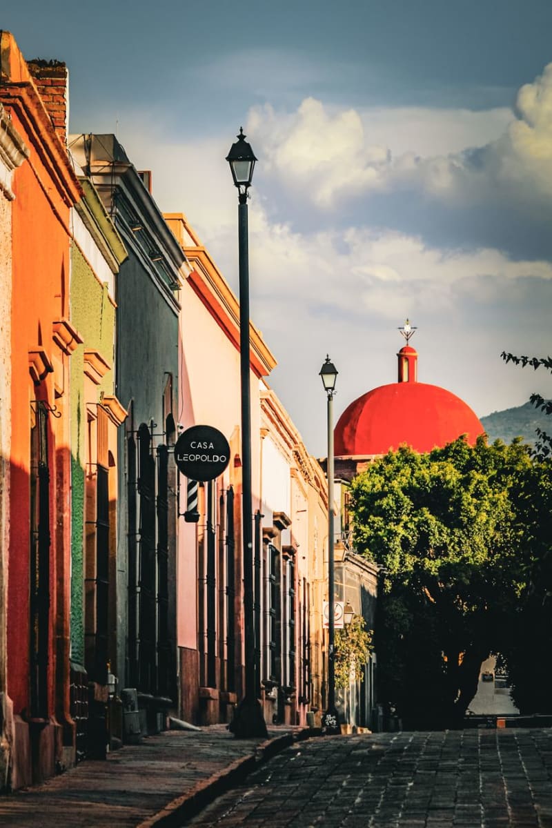 mexico
 Santiago Papasquiaro
Santiago Papasquiaro sits four hours into the Sierra Madre Occidental from Durango City, at 1,800 meters in a valley that the Tepehuan people have farmed for centuries before any Spanish road arrived. The town is a quiet market center — apples and pears and corn from the surrounding hills, pine and oak forest closing in above — and the man who ran my guesthouse explained the valley's history over dinner with the patience of someone who had never had to make it accessible to an outsider before.
Explore