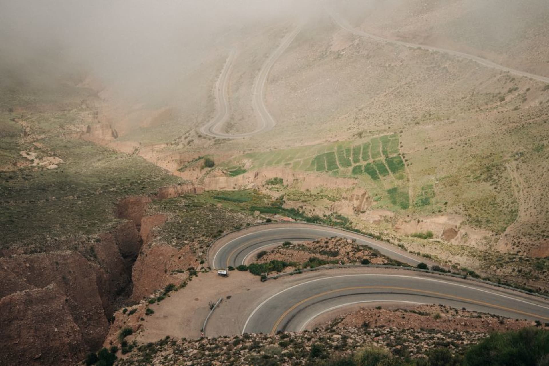
El Espinazo del Diablo
"I pulled off where there was no guardrail and watched cloud pour into the gorge below me like something being slowly filled — the whole canyon breathing in and out while I stood there doing nothing useful."
The original Highway 40 through the Sierra Madre Occidental — a succession of hairpin switchbacks, near-vertical canyon drops, and cloud-forest corridors that most drivers now bypass via the toll freeway. What remains is a paved mountain crossing through some of Durango's sharpest terrain, largely empty, where fog moves in thick enough to erase the road ahead and the only vehicles you encounter tend to be the ones too large for the tunnel clearances on the new highway.

I left Durango city at six in the morning, which felt like the right decision until the fog hit at the first major switchback. Not the thin mist that makes mountain driving atmospheric — the kind that reduces your headlights to two weak suggestions and turns the road markings into rumour. I had already passed the cutoff for the supercarretera, the toll freeway that punches through the same mountains with bridges and tunnels and the general confidence of infrastructure built by people who found the old route embarrassing. That was fine. I had time, and a reason to want the old road: El Espinazo del Diablo, the Devil’s Spine.
The Devil’s Arithmetic
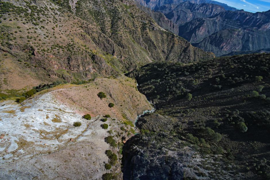
The name comes from the topography. The ridge of the Sierra Madre Occidental, compressed into a series of hairpins that the engineers of the 1940s had to negotiate without the luxury of boring straight through anything, drops from pine-covered highlands down into barrancas so deep you stop being able to judge scale. The trees on the far canyon wall look like moss until you realize they are pines as tall as the ones around you. Trucks used to crawl this route in both directions, hauling goods between Durango and the Pacific coast — Mazatlán sits at the other end of Highway 40, four hours in good conditions on the old road, ninety minutes on the new one. The supercarretera, completed in 2013, resolved the logistics question efficiently. What it left behind was a paved, functional road through genuinely extraordinary terrain that now sees almost no traffic. I drove forty minutes without meeting another vehicle. At one point I stopped in the middle of the road, turned off the engine, and listened. There was wind, and below that the faint sound of water from somewhere I couldn’t see.

Fog, Forest, and a Comedor Outside El Palmito
At a certain elevation the pine forest changes character. The trees get shorter and more densely packed, the undergrowth shifts to something wetter and more insistent, and bromeliads appear on the branches without announcement. The fog isn’t weather here so much as condition — it moves through in pulses, thickening for ten minutes until I’m driving at a crawl with the hazards on, then thinning to reveal an improbably blue sky above a gorge floor I still can’t see the bottom of. I stopped at a small comedor just outside what the map labeled El Palmito. A woman was selling gorditas de maíz from a gas range set up beside the road, with a pot of caldillo durangueño keeping warm at the back — the thin beef broth they make in this part of Durango, flavoured with chile pasilla and a lot of patience. I ate standing up, watching a truck materialize out of the fog at what seemed like very close range. She had driven this road for thirty-five years, she said, first in her father’s pickup. She didn’t think much of the toll road.
Before You Start the Engine
This is not a difficult drive if you are not in a hurry and you respect what fog does to reaction time. The surface of the old highway varies — some sections resurfaced recently, some not. Go in the dry season: November through April the fog still appears but the road stays predictable. In rainy season, sections close without warning after landslides, and the warnings come slowly if at all. Fill up at a PEMEX in Durango city before you start — there is one station near El Palmito and nothing dependable after that. The roadside stops exist but close early, so carry water and something to eat. Budget for four hours, not three. The third hour is when you’ll want to pull over at a cliff edge with no guardrail, and you should not feel pressured to move on quickly.

Getting There
Durango city is the base. The old Highway 40 begins its climb into the Sierra Madre roughly 50 kilometers west of the city center — the turnoff is clearly marked where the freeway and old road diverge. Bus lines running Durango–Mazatlán use the toll road exclusively; this crossing requires your own vehicle. Dry season, November through April, is the reliable window. Rainy season is not impossible, only unpredictable.
Keep exploring
More of Durango
Keep exploring
More from Durango
 mexico
 Las Quebradas
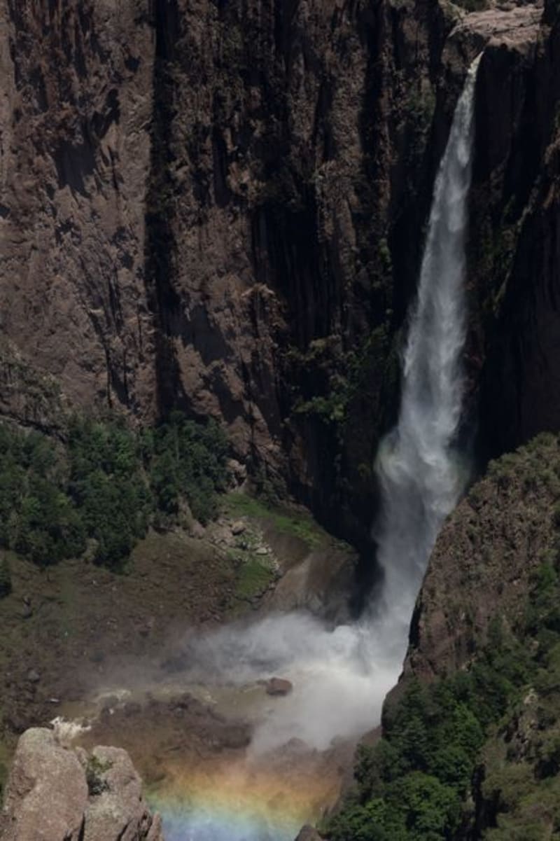
Las Quebradas is the canyon country where the Sierra Madre Occidental unravels toward the Pacific, dropping from pine-forested ridges to near-tropical lowlands in the span of a single winding hour. The road that threads through it — old, narrow, and occasionally vertiginous — rewards patience with waterfalls, involuntary silences, and an ecological transition that happens faster than reason suggests it should.
Explore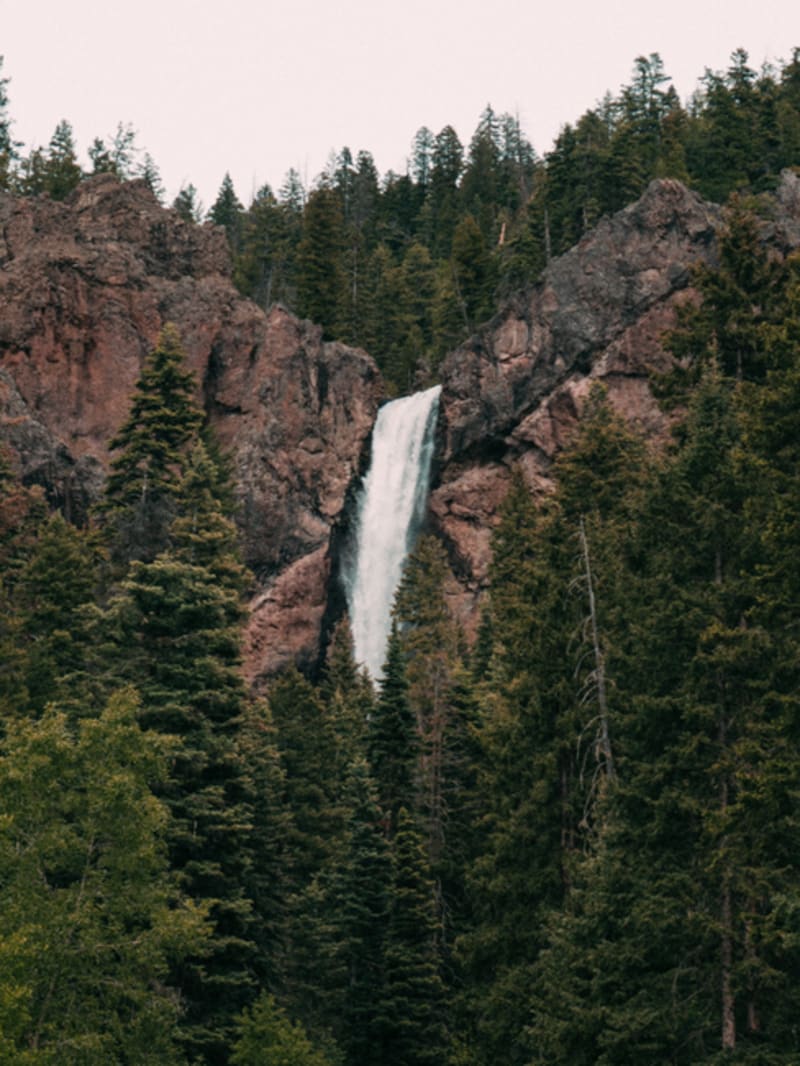 mexico
 Mexiquillo
A forest reserve in the Sierra Madre Occidental where basalt columns the size of houses rise from the pines — volcanic formations that erosion has worked into mushroom shapes, standing in mountain mist most Durango road-trippers never stop to find.
Explore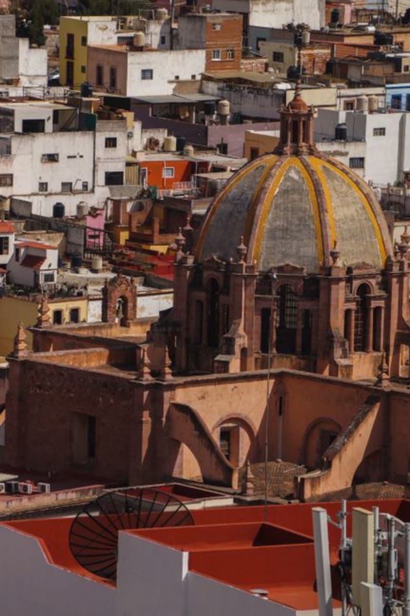 mexico
 Guanaceví
A colonial silver-mining town at 2,600 meters in the northern Sierra Madre, Guanaceví has been declining quietly for two centuries in a way that preserved its center almost intact. The drive from Durango city is long and the isolation on arrival is genuine — a combination that is increasingly difficult to find in Mexico.
Explore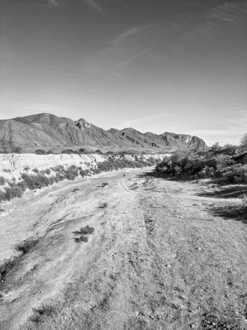 mexico
 Zona del Silencio
The Reserva de la Biósfera de Mapimí is a stretch of Chihuahuan Desert where legend insists compasses fail and meteorites seek the ground with unusual appetite. The science is mostly folklore. The landscape — red sand, towering cardón cacti, and the skeletal aqueduct of Ojuela — is entirely real.
Explore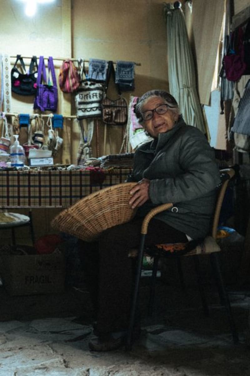 mexico
 Tepehuanes
Deep in the Sierra Madre Occidental, Tepehuanes is the ceremonial and commercial heart of the Tepehuan people. Its weekly market pulls communities down from the high sierra with crafts, medicinal plants, and foods that exist nowhere else in Mexico.
Explore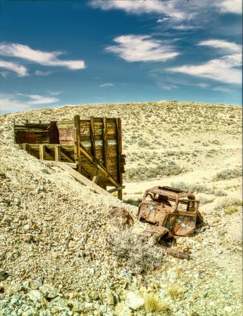 mexico
 Mapimí
A ghost town strung over silver mine shafts and joined to the living world by the longest hanging bridge in Mexico, Mapimí is where industrial ruin meets the blank immensity of the Bolsón de Mapimí — a desert so quiet it has been swallowing radio signals and compass readings, or so they say, since at least 1970.
Explore