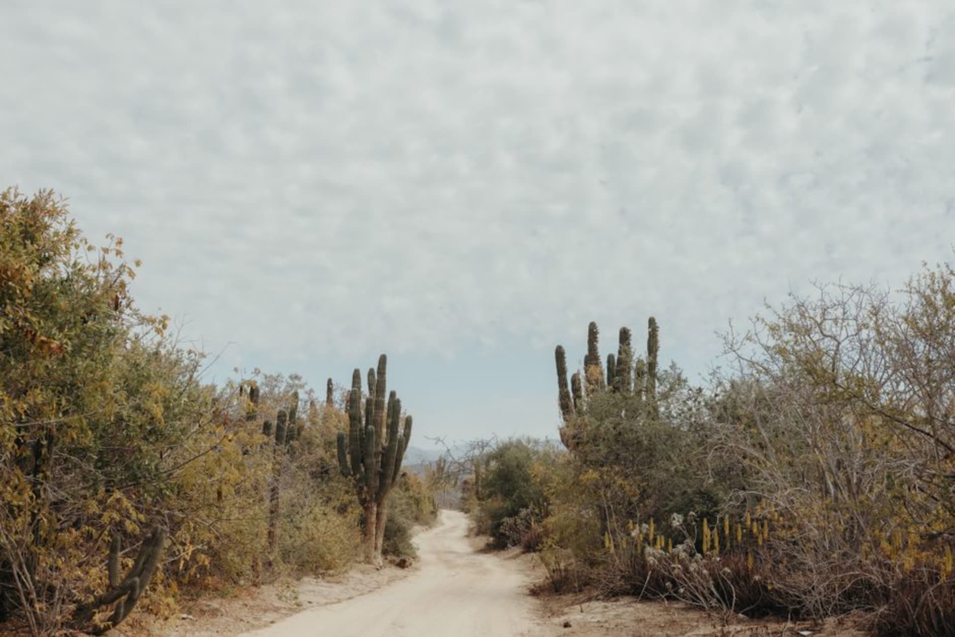
Zona del Silencio
"My compass did exactly nothing unusual, but the Mapimí Desert at dawn needs no legend to be extraordinary."
The Reserva de la Biósfera de Mapimí is a stretch of Chihuahuan Desert where legend insists compasses fail and meteorites seek the ground with unusual appetite. The science is mostly folklore. The landscape — red sand, towering cardón cacti, and the skeletal aqueduct of Ojuela — is entirely real.

I drove north from Torreón on Federal Highway 49 with a road atlas I’d bought at an OXXO and a compass app I’d downloaded specifically to watch it behave strangely. Neither was necessary. The turnoff toward Ceballos arrives without ceremony, the asphalt eventually surrenders to gravel, and then the desert opens up so wide and so red that the rational part of your brain goes quiet all on its own. I ate a torta de milanesa in the cab of the truck before getting out. Even that felt like the right way to start.
The Desert Itself
The Bolsón de Mapimí is a closed basin — water that falls here has nowhere to drain, which explains both the alkaline flats and the eerie flatness that tricks your eye into thinking the horizon is closer than it is. In the early morning, when the light comes in low and pink, the cardón cacti throw shadows ten metres long across the red-orange sand. There are no trees. There are almost no sounds except wind and, if you’re patient, the occasional rustle of a Bolson tortoise moving through the scrub — one of the few places on earth where they survive in the wild.
The mythology around compass interference and UFO sightings has been debunked thoroughly enough that I won’t repeat it here, except to say that the landscape is genuinely disorienting in a way that doesn’t need extraterrestrial explanation. The scale is wrong in a way you feel before you can name it.
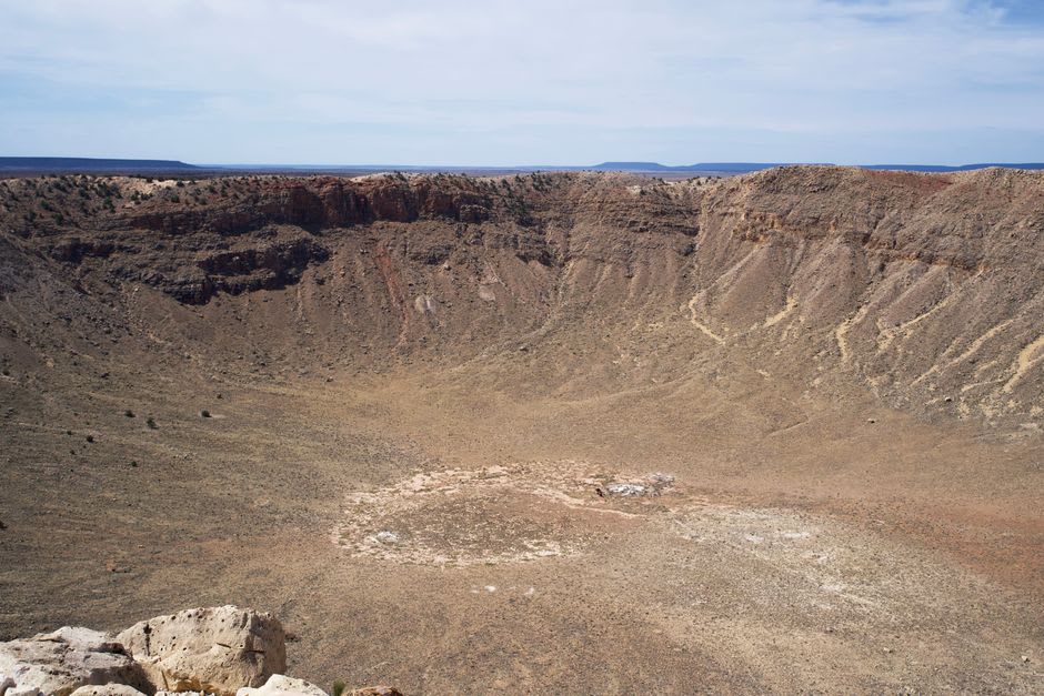
The Ojuela Aqueduct and the Mine
Thirty kilometres back toward Mapimí town, the ruins of the Ojuela hacienda and its 18th-century aqueduct sit above a gorge that the Río Aguanaval cut through limestone over millennia. A swinging suspension bridge — genuinely vertiginous, planks missing in places — connects the old mining settlement to the mesa. The mine produced silver and lead for two centuries; the aqueduct fed a population that has since entirely vanished. What’s left is a sequence of stone arches in various states of collapse, photogenic in the ruthless way that abandoned infrastructure always is. A woman near the bridge entrance sells cold agua de jamaica from a cooler. I drank two cups before crossing.
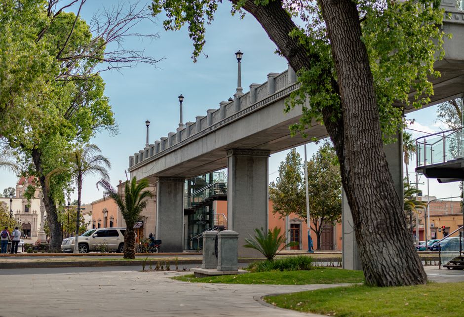
Ceballos and the Question of Sleep
The nearest town with any accommodation is Ceballos, a quiet railroad settlement where the Posada del Desierto offers clean rooms and a comedor that opens at seven. Dinner the night I stayed was caldo de res with handmade flour tortillas — the northern kind, soft and thick, the way they do them in Chihuahua and Durango both. One of the other guests was a geologist from UNAM tracking meteorite impact sites. He confirmed: the meteorites are real, the compass stories are not.
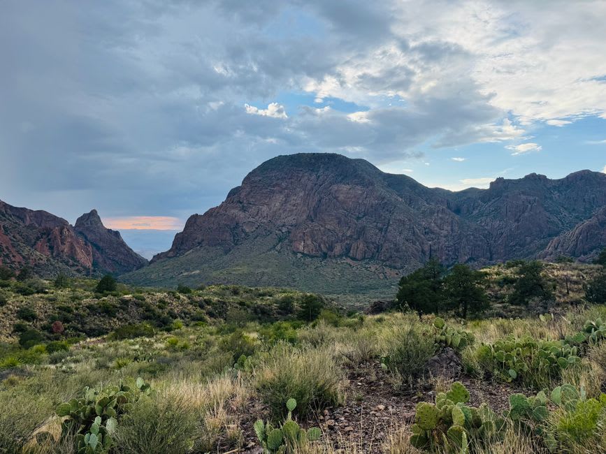
Getting There
From Torreón, take Federal Highway 49 north toward Jiménez, then branch off toward Ceballos — roughly 200 kilometres total. The final stretch into the reserve is unpaved; a standard sedan can manage in dry conditions but a high-clearance vehicle is more comfortable. No fuel between Ceballos and the reserve entrance, so fill up before leaving town.
Keep exploring
More of Durango
Keep exploring
More from Durango
 mexico
Mapimí
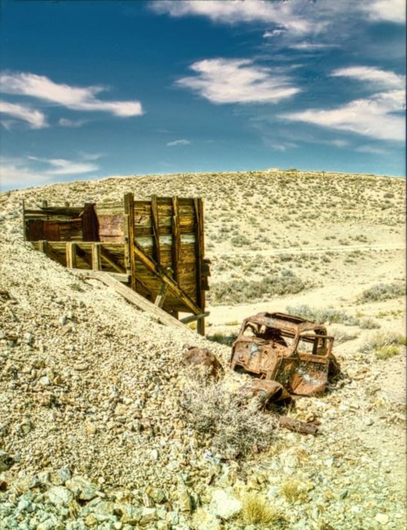
A ghost town strung over silver mine shafts and joined to the living world by the longest hanging bridge in Mexico, Mapimí is where industrial ruin meets the blank immensity of the Bolsón de Mapimí — a desert so quiet it has been swallowing radio signals and compass readings, or so they say, since at least 1970.
Explore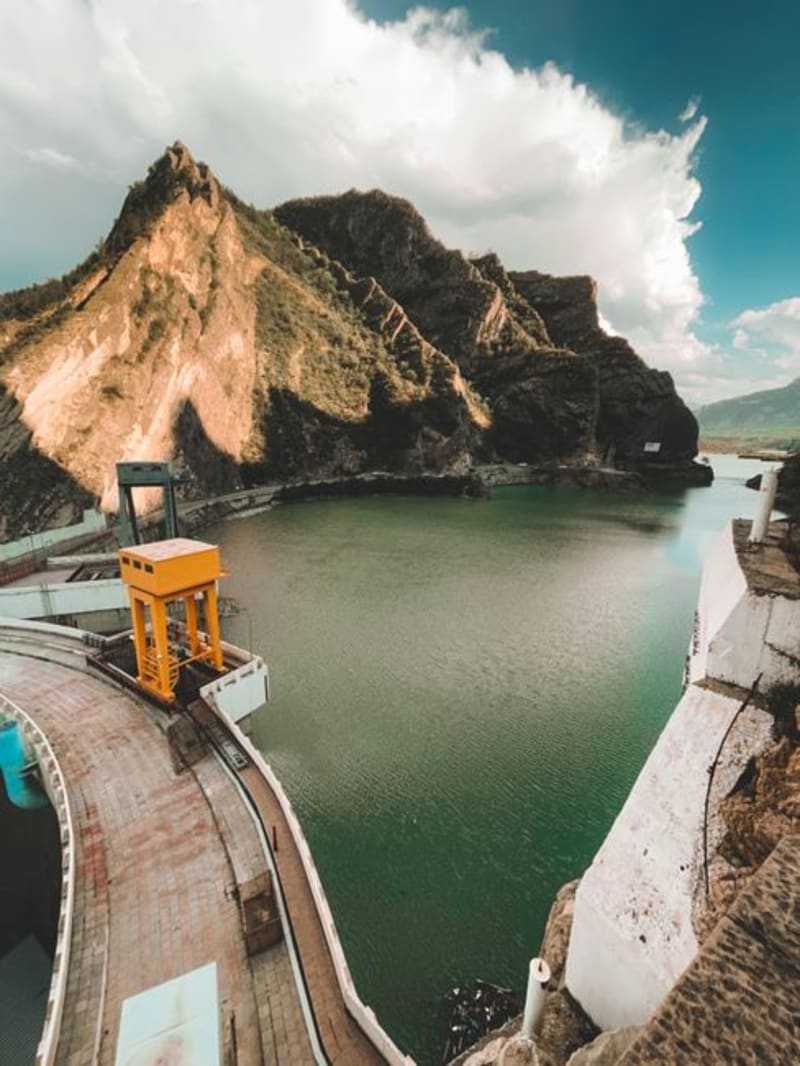 mexico
El Palmito
A roadside stop on the mountain highway between Durango city and Mazatlán, where the Presa Palmito reservoir cuts a long blue slash into pine and canyon country below the dam wall. Most drivers fly past; the ones who stop tend to stay longer than they planned.
Explore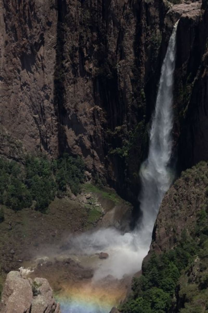 mexico
Las Quebradas
Las Quebradas is the canyon country where the Sierra Madre Occidental unravels toward the Pacific, dropping from pine-forested ridges to near-tropical lowlands in the span of a single winding hour. The road that threads through it — old, narrow, and occasionally vertiginous — rewards patience with waterfalls, involuntary silences, and an ecological transition that happens faster than reason suggests it should.
Explore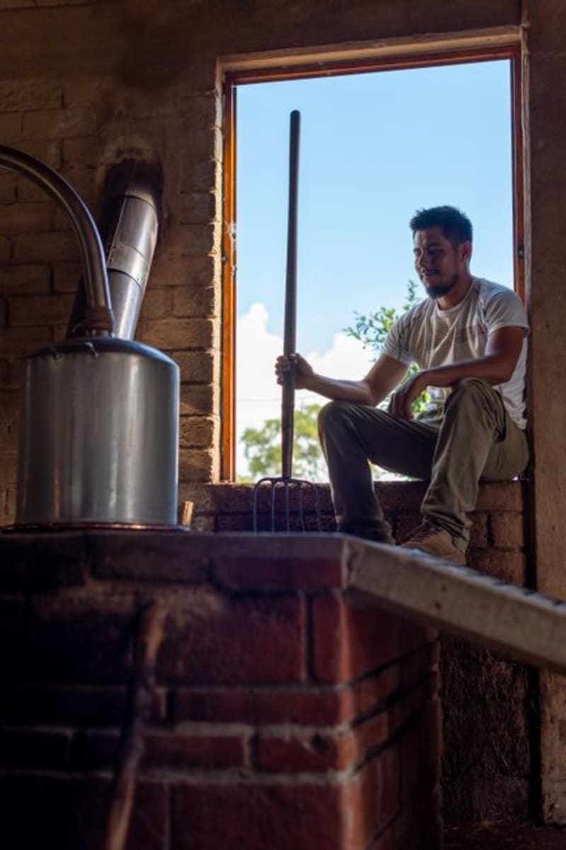 mexico
San Juan del Río, Durango
A mezcal-producing village tucked into the rocky draws of the Durango Sierra Madre, where clay-pot distilleries have been operating the same way for two centuries. This is not the Querétaro San Juan del Río — this one is quieter, harder to reach, and worth every kilometer of dirt road.
Explore mexico
Cuencamé
Cuencamé sits in the Durango lowlands where the sierras give way to ranching country, its colonial haciendas still defining the landscape after four centuries of cattle and silver. It is quietly becoming wine territory, though the world has not caught up to that fact yet.
Explore mexico
Guanaceví
A colonial silver-mining town at 2,600 meters in the northern Sierra Madre, Guanaceví has been declining quietly for two centuries in a way that preserved its center almost intact. The drive from Durango city is long and the isolation on arrival is genuine — a combination that is increasingly difficult to find in Mexico.
Explore