Las Quebradas
"The road through Las Quebradas is not the route you take when you are in a hurry — it is the route you take when you have decided that a landscape matters more than an arrival time."
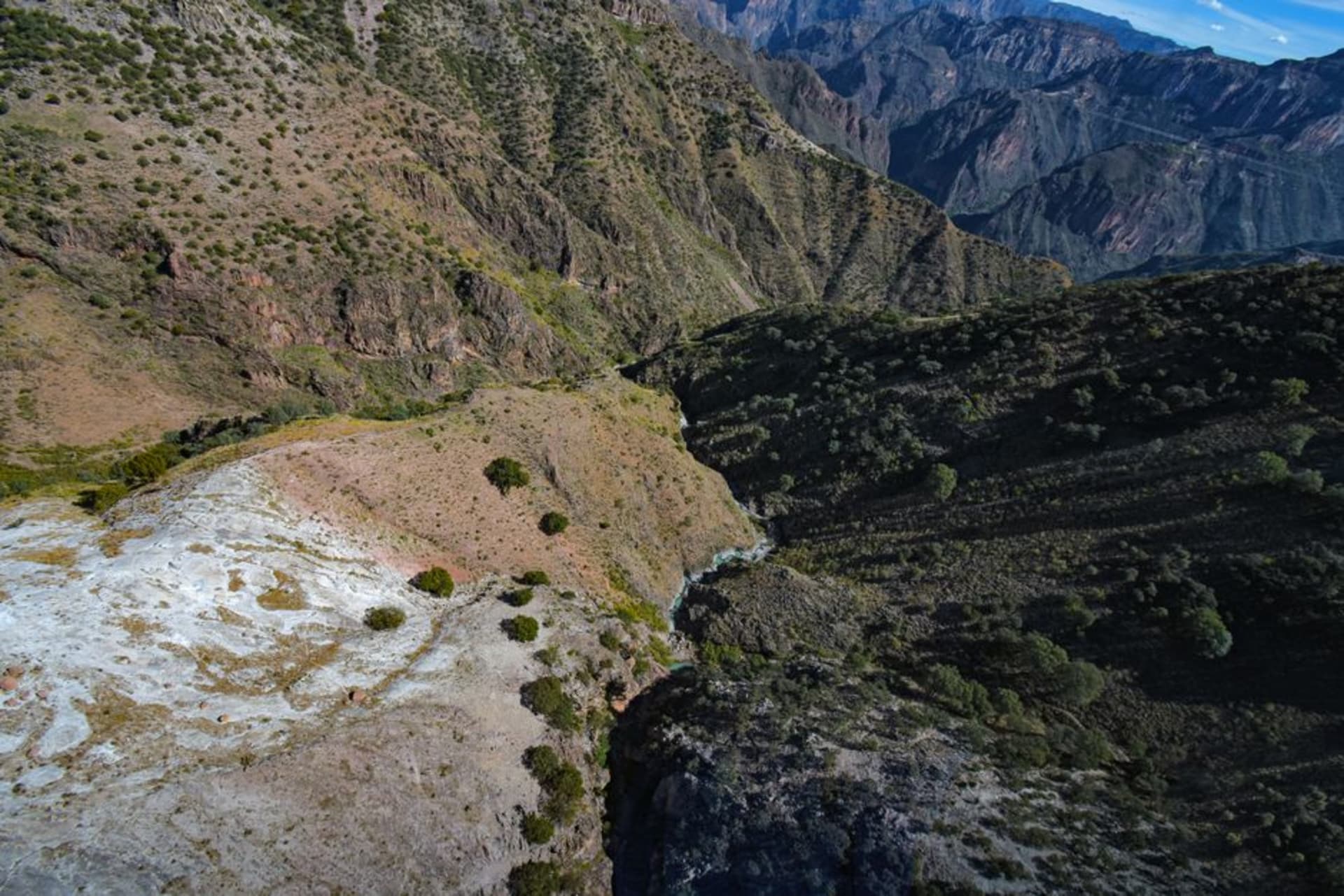
Las Quebradas is the canyon country where the Sierra Madre Occidental unravels toward the Pacific, dropping from pine-forested ridges to near-tropical lowlands in the span of a single winding hour. The road that threads through it — old, narrow, and occasionally vertiginous — rewards patience with waterfalls, involuntary silences, and an ecological transition that happens faster than reason suggests it should.

I left Durango city before six, mostly because the hostal owner had mentioned something about fog on the descent and I wanted to see what that meant. What it meant, I discovered around kilometer 180 on the libre highway toward Mazatlán, was that the road through Las Quebradas disappears into white at the switchbacks — not dangerously, but enough to make you understand that the canyon below is operating at a different altitude, a different weather system, almost a different country. I pulled over and stood there in my jacket for longer than I had any practical reason to.
The Devil’s Spine
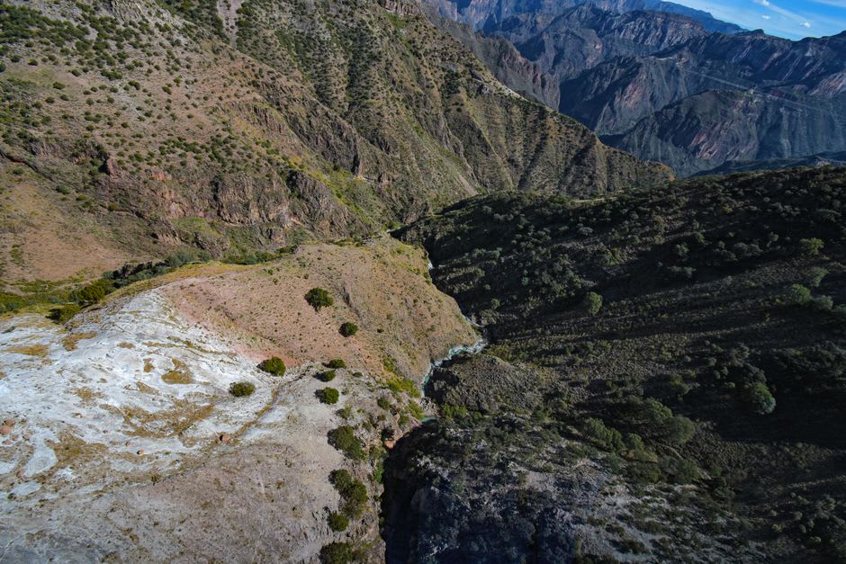
The section people call El Espinazo del Diablo earns its name not through particular danger but through geometry. The road carves into the canyon face at angles the eye struggles to process from above. From Durango you climb to around 2,600 meters before the Sierra Madre simply ends and the land falls toward Sinaloa, shedding a thousand meters of elevation over roughly 40 kilometers of road that doubles back on itself with the logic of a mountain goat. At certain points, looking back uphill, you can see the section of highway you were on fifteen minutes ago suspended above you like a shelf.
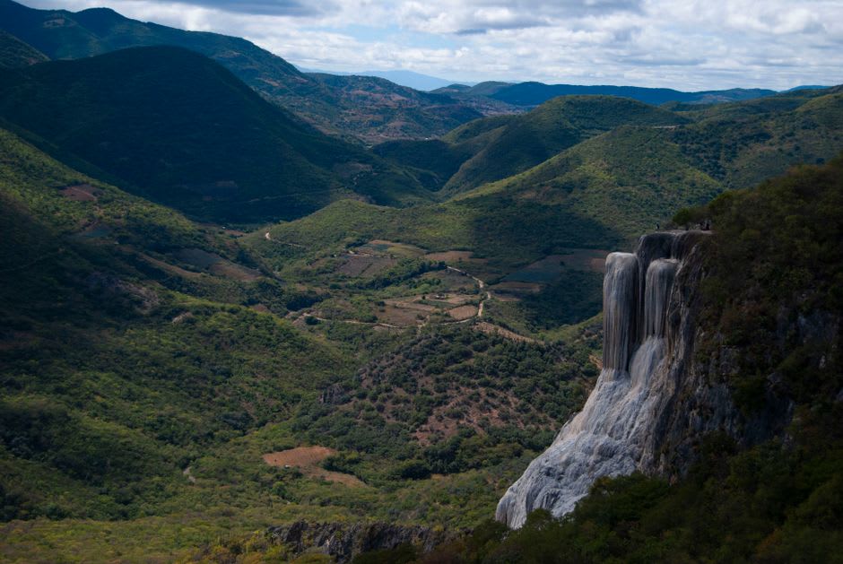
The waterfalls are not incidental. Several feed directly across the road during the rainy season — July through September — forming curtains of water that drivers pass through rather than around. In dry season they thin to ribbons, but the canyon retains its scale. The views from the mirador above Rancho Nuevo, before the tour buses from Mazatlán arrive in late morning, produce an involuntary silence in most people who stop there. I noticed I was not exempt.

The Hour When the Trees Change
What makes the drive through Las Quebradas genuinely strange is the speed of ecological change. You leave Durango in pine and oak forest — the smell of resin, the cool air that lives at altitude — and within an hour you are in subtropical scrub, hummingbirds crossing the road, vendors selling mango in salt from coolers propped on the shoulder. The transition is continuous and disorienting in the same way the landscape itself is. One moment you need the jacket; twenty minutes later you are rolling down the window.
I stopped at a small comedor near El Palmito, just past the deepest part of the descent, where a woman was cooking chilorio — Sinaloan pork braised in chile colorado — on a wide griddle. A taco cost twelve pesos. I ate three standing at the counter, looking back up the canyon from where I had come. The elevation change was legible in the cloud layer. I ordered a fourth.
On Not Rushing It
The advice I would offer anyone making this drive runs counter to every road trip instinct: do not do it as a through route. The temptation is to combine the Sierra Madre descent with a run to Mazatlán, which is understandable — it is the same road. But threading Las Quebradas between two destinations means watching the clock, which is precisely the wrong way to be in a canyon that takes its time.
Stay a night in El Palmito if you can find a room, or camp near the mirador above Rancho Nuevo. The canyon at dusk, when the light comes in at a low angle and the cloud layer settles just below the ridge, is not something you can replicate by driving through at midday.
Getting There
Las Quebradas sits on the free federal highway MEX-40 between Durango city and Mazatlán, Sinaloa — roughly two to three hours from Durango depending on stops. The toll road MEX-40D runs parallel and bypasses the canyon almost entirely; take the libre. Buses from Durango’s Central Camionera serve El Palmito and intermediate points. A car, however, is the only way to stop where the canyon asks you to.
Keep exploring
More of Durango
Keep exploring
More from Durango
 mexico
 Guanaceví
A colonial silver-mining town at 2,600 meters in the northern Sierra Madre, Guanaceví has been declining quietly for two centuries in a way that preserved its center almost intact. The drive from Durango city is long and the isolation on arrival is genuine — a combination that is increasingly difficult to find in Mexico.
Explore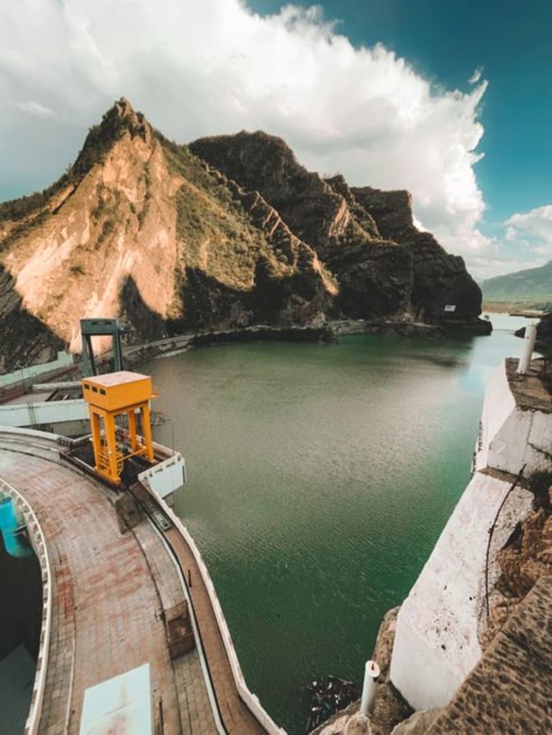 mexico
 El Palmito
A roadside stop on the mountain highway between Durango city and Mazatlán, where the Presa Palmito reservoir cuts a long blue slash into pine and canyon country below the dam wall. Most drivers fly past; the ones who stop tend to stay longer than they planned.
Explore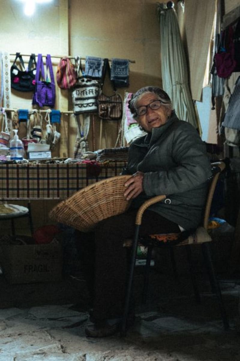 mexico
 Tepehuanes
Deep in the Sierra Madre Occidental, Tepehuanes is the ceremonial and commercial heart of the Tepehuan people. Its weekly market pulls communities down from the high sierra with crafts, medicinal plants, and foods that exist nowhere else in Mexico.
Explore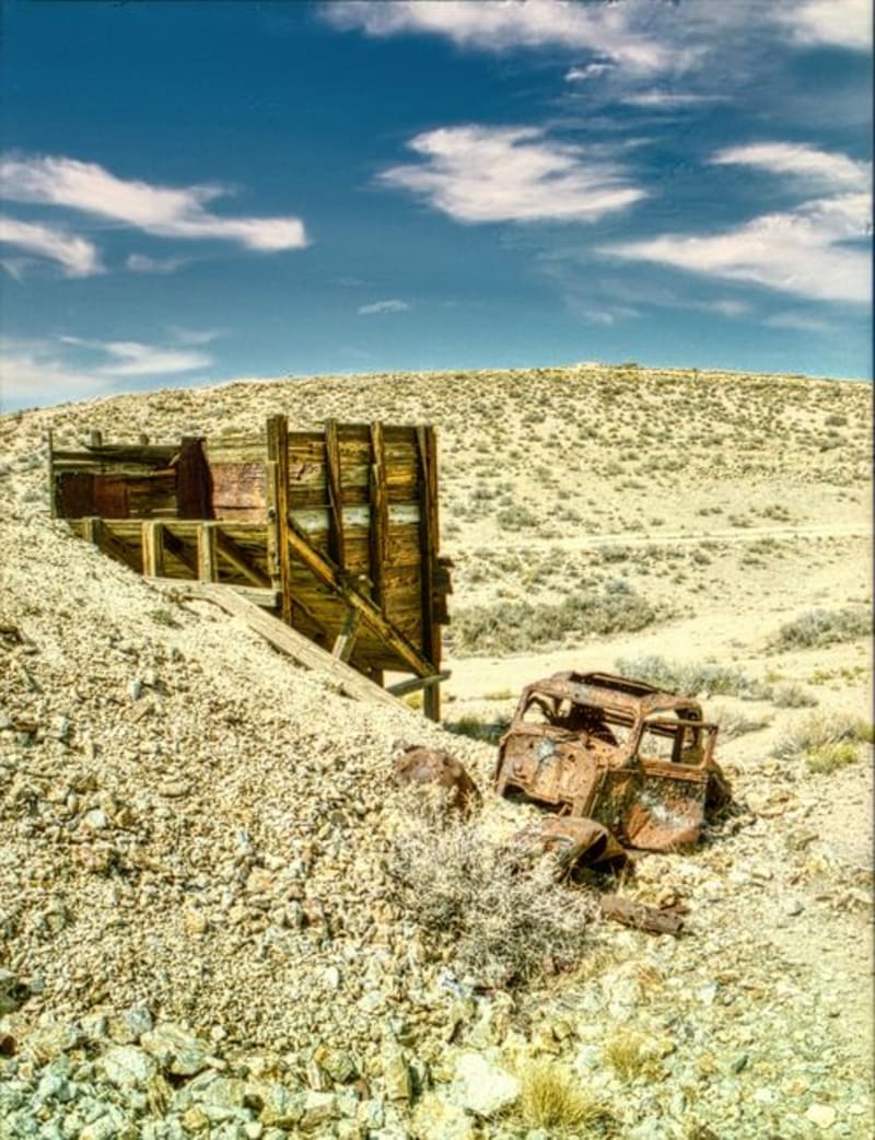 mexico
 Mapimí
A ghost town strung over silver mine shafts and joined to the living world by the longest hanging bridge in Mexico, Mapimí is where industrial ruin meets the blank immensity of the Bolsón de Mapimí — a desert so quiet it has been swallowing radio signals and compass readings, or so they say, since at least 1970.
Explore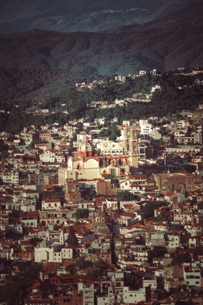 mexico
 Topia
A colonial silver-mining town at 1,800 metres in the Sierra Madre, Topia sits at the end of a road that demands genuine commitment — unpaved switchbacks, river crossings, three hours from Durango city. The mines are mostly sealed now, but the stone church is intact, the plaza still functions the way plazas are meant to, and the surrounding ridgelines offer a remoteness that is increasingly hard to find.
Explore mexico
 Santiago Papasquiaro
Santiago Papasquiaro sits four hours into the Sierra Madre Occidental from Durango City, at 1,800 meters in a valley that the Tepehuan people have farmed for centuries before any Spanish road arrived. The town is a quiet market center — apples and pears and corn from the surrounding hills, pine and oak forest closing in above — and the man who ran my guesthouse explained the valley's history over dinner with the patience of someone who had never had to make it accessible to an outsider before.
Explore