Topia
"The woman running the only open comedor told me the last foreign visitor she remembered was a German, sometime in the late nineties. She wasn't sure what to make of me, and honestly I wasn't either."
A colonial silver-mining town at 1,800 metres in the Sierra Madre, Topia sits at the end of a road that demands genuine commitment — unpaved switchbacks, river crossings, three hours from Durango city. The mines are mostly sealed now, but the stone church is intact, the plaza still functions the way plazas are meant to, and the surrounding ridgelines offer a remoteness that is increasingly hard to find.

I pulled into Topia’s plaza at four in the afternoon with my jaw still clenched from the last hour of road. Three river crossings, one section where the switchbacks felt architectural rather than practical, and a final descent into the canyon that made me genuinely unsure the truck would come back up. And then the town just appeared. Stone houses on terraced hillsides. The church at the end of the square, solid and unhurried. A dog sleeping in the precise center of the road. Nobody was going anywhere fast, and after what I had driven through to get here, that felt like a reasonable arrangement.
Three Hours of Sierra Madre
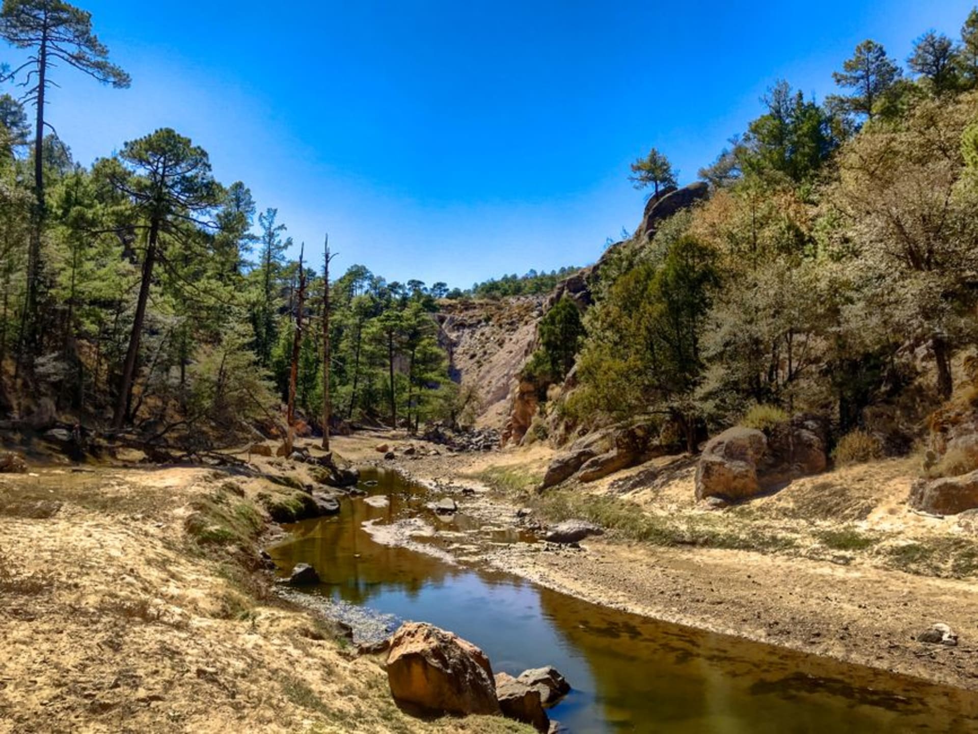
The drive from Durango city to Topia is not difficult in the way that requires skill so much as in the way that requires patience and a vehicle with ground clearance. The first forty minutes are paved and unremarkable. Then the Sierra Madre takes over completely. I counted three river fords that my map had not mentioned. In the rainy season those crossings become the reason some people turn back. I went in January when the rivers were low and the pines were doing their pine thing on every available slope.
What the road gives you, beyond a stiff back, is context. Topia exists in this state of quiet preservation because getting here has always been inconvenient. The silver boom that built the church and the stone houses ended in the early twentieth century, and without easy extraction, the town never had to become anything else. What you arrive at is not a ghost town — people live here, and they are not performing remoteness — but a place where the rhythm of daily life has not been renegotiated to accommodate visitors.

What the Mines Left Behind
The church of San Francisco de Asís sits at the head of the plaza with the composure of something that has outlasted several ambitious plans. Built when silver was still coming out of the surrounding hills, it is constructed in the pale stone that goes warm gold in the late afternoon. I spent an hour inside one morning when the light was coming through the side windows at an angle worth sitting with. The simplicity of the interior affected me more than many more elaborately decorated colonial churches I have seen further south.
The mine shafts themselves are mostly sealed or collapsed, but a short walk up from the plaza takes you past the remains of the processing infrastructure — stone walls, rusted equipment — absorbed now into the hillside vegetation. A man named Ernesto offered to walk me up and explain what was what. He knew which shafts had flooded, which ones went deep, which families had owned which sections. It was the kind of history that does not appear on signs.

The Only Comedor Open
Topia is not a place to arrive hungry with a list of restaurants saved on your phone. I found two comedores; one was closed on arrival and still closed when I left two days later. The other was run by a woman named Rosario who cooked whatever she had decided to make that morning. On my first evening that meant a caldo de res with enough chile to clarify your priorities, a plate of frijoles de olla with cheese, and corn tortillas I watched being made by hand across the room. The second day brought enfrijoladas and something involving eggs that I would order again without needing to know its name.
She charged me ninety pesos for the first meal. I left a hundred and twenty and felt it was still insufficient.

Getting There
Durango city is the staging point. Topia is roughly 150 kilometres away by road — figure three to four hours depending on conditions and how confident you feel about river crossings. A vehicle with meaningful ground clearance is not optional. The road is passable year-round but the rainy season (June through October) adds real uncertainty to the river fords. November through March is the most reliable window.
Keep exploring
More of Durango
Keep exploring
More from Durango
 mexico
 Tepehuanes
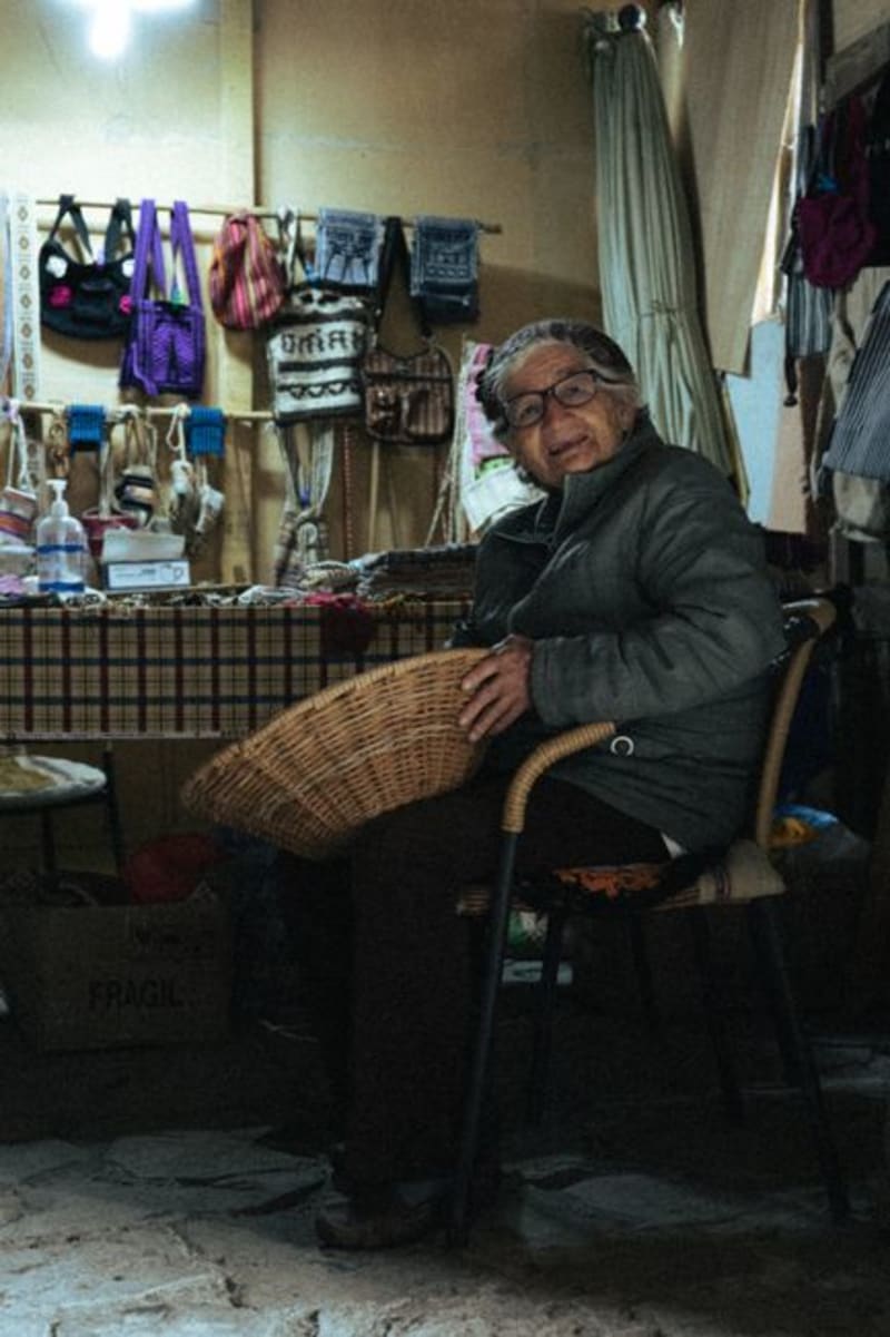
Deep in the Sierra Madre Occidental, Tepehuanes is the ceremonial and commercial heart of the Tepehuan people. Its weekly market pulls communities down from the high sierra with crafts, medicinal plants, and foods that exist nowhere else in Mexico.
Explore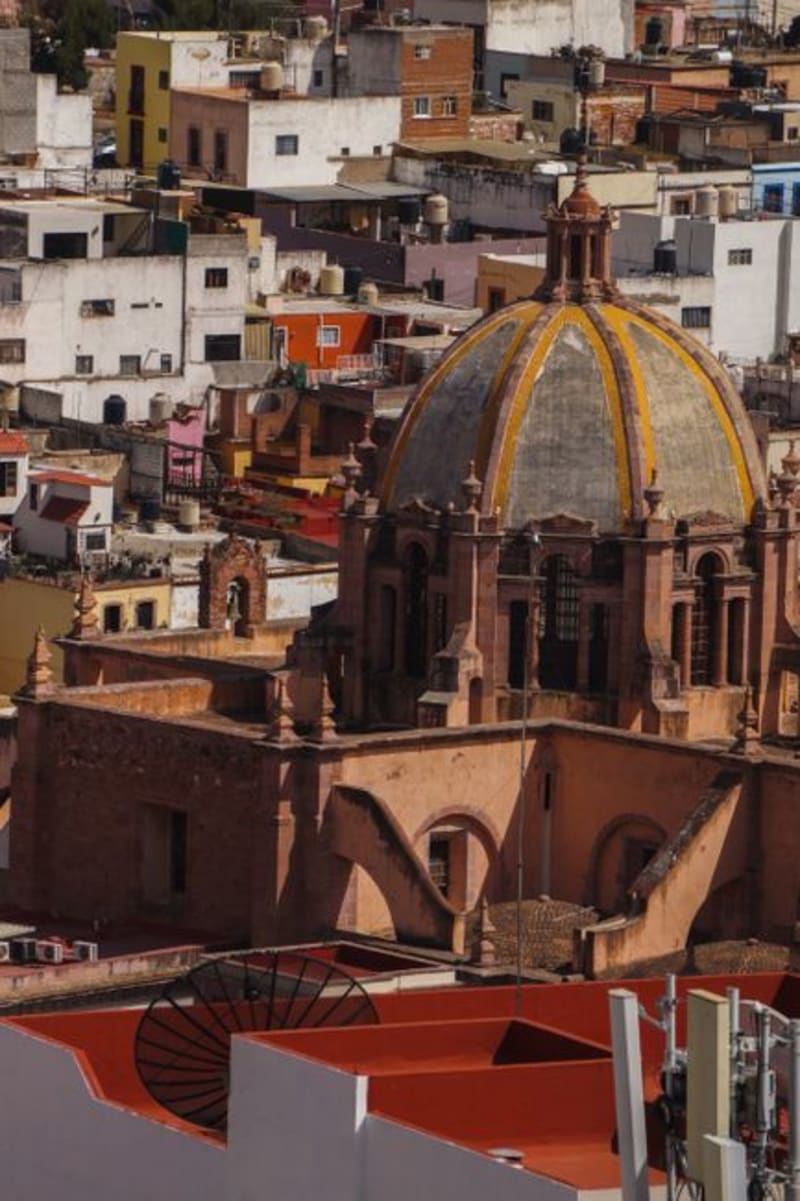 mexico
 Guanaceví
A colonial silver-mining town at 2,600 meters in the northern Sierra Madre, Guanaceví has been declining quietly for two centuries in a way that preserved its center almost intact. The drive from Durango city is long and the isolation on arrival is genuine — a combination that is increasingly difficult to find in Mexico.
Explore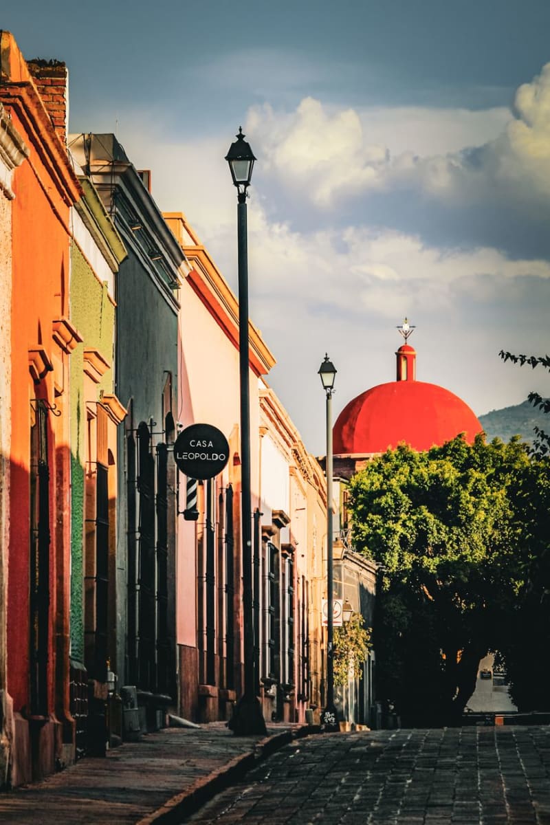 mexico
 Santiago Papasquiaro
Santiago Papasquiaro sits four hours into the Sierra Madre Occidental from Durango City, at 1,800 meters in a valley that the Tepehuan people have farmed for centuries before any Spanish road arrived. The town is a quiet market center — apples and pears and corn from the surrounding hills, pine and oak forest closing in above — and the man who ran my guesthouse explained the valley's history over dinner with the patience of someone who had never had to make it accessible to an outsider before.
Explore mexico
 San Dimas
A historic gold-and-silver mining district buried deep in the Sierra Madre Occidental of Durango, reached by the wild mountain road toward Mazatlán. Dramatic barrancas and endless pine forest, the old mines of Tayoltita hidden in the canyons, and the feeling of being genuinely far from everything.
Explore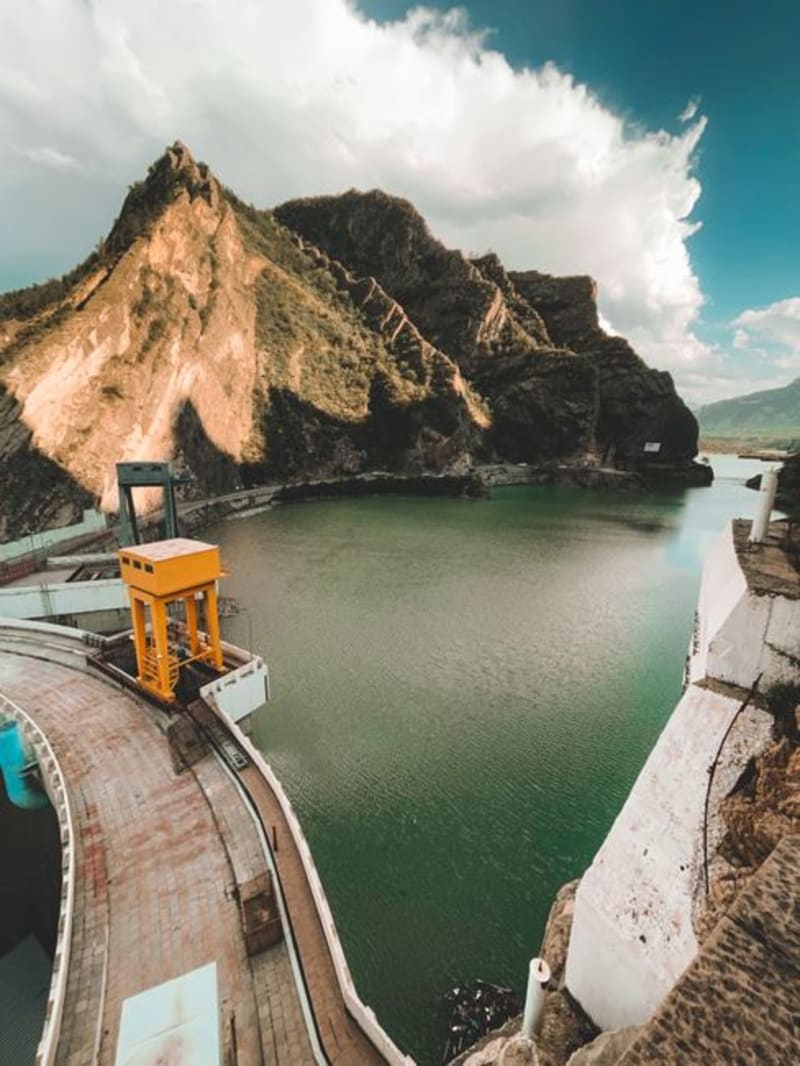 mexico
 El Palmito
A roadside stop on the mountain highway between Durango city and Mazatlán, where the Presa Palmito reservoir cuts a long blue slash into pine and canyon country below the dam wall. Most drivers fly past; the ones who stop tend to stay longer than they planned.
Explore mexico
 Canatlán
Set at over 2,000 meters in the Durango highlands, Canatlán is apple-and-pear country with a mining-era centro that feels more Colorado than Sinaloa. The Valle del Guadiana turns deep green in summer, and the air has a sharpness you don't expect from a Mexican afternoon.
Explore