Asia
Tajikistan
"The altitude alone rewired how I thought about distance."
A country where the Pamir Highway carves through the roof of the world and every shepherd's fire burns at four thousand meters.

I crossed into Tajikistan from Kyrgyzstan on a shared taxi that smelled of diesel and dried apricots. The border formalities were perfunctory — a bored official, a stamp, and then suddenly the Pamirs opened in front of us like something out of a geography textbook that forgot to scale things correctly. The peaks here don’t feel like mountains. They feel like the ground simply decided to keep going up. By the time we reached Murghab, the highest town on the route, I was breathing with a slight deliberateness, rationing each inhale without quite realizing it.
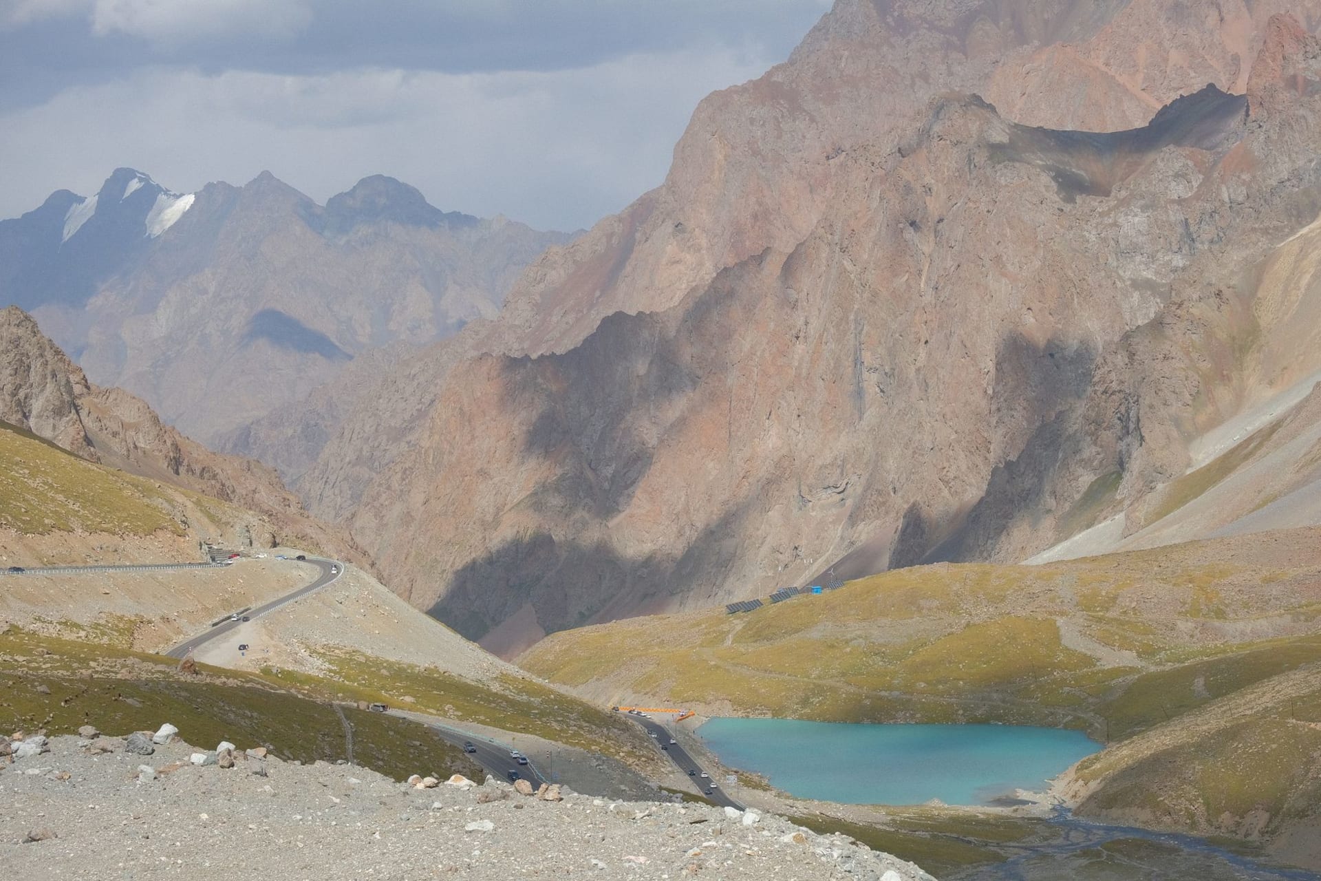
The M41 — the Pamir Highway — is one of the great overland routes on earth, and unlike most things that carry that reputation, it actually delivers. The road isn’t always good. There are sections where “road” is an optimistic term for a compressed dirt track at the edge of a thousand-meter drop. But the landscape on either side makes you forget to be afraid: lakes so turquoise they look artificially coloured, plateaus that stretch so flat you can watch a truck approach for thirty minutes before it reaches you, valleys where the only moving things are yaks and the occasional eagle. Dushanbe, the capital, is underrated as a starting point — it has a genuinely pleasant tree-lined centre, a strong bazaar, and samsa that I still think about.
The food across Tajikistan is Central Asian in character — plov, mantu, shorpo — but the lamb here has a particular quality that comes from high altitude grazing, and the flatbread emerging from a tandoor in a roadside teahouse at 3,500 metres might be the most honest thing I have eaten in years. People on the Pamir Highway are remarkably hospitable in a way that doesn’t involve transaction. A family in Wakhan Valley invited us in for tea that became dinner that became a night on felt mats under a wall of Soviet-era photos. Nobody asked for anything.
When to go: June through September is the only viable window for the Pamir Highway — passes are snowbound from October to late May. July and August are peak, with the best road conditions but more overlanders on the route. June and September offer thinner crowds and the same landscapes, though evenings at altitude turn cold fast.
What most guides get wrong: They frame Tajikistan entirely around the Pamir Highway as a transit route — something to tick off between Kyrgyzstan and Afghanistan. But the country repays slowing down. Ishkashim on market day, when Afghan traders cross the river into Tajikistan, is extraordinary. The Fann Mountains near Penjakent offer trekking that rivals anything in Nepal with a fraction of the infrastructure and none of the queues. Tajikistan is not a backdrop. It’s the point.
Explore
Places in Tajikistan
 tajikistan
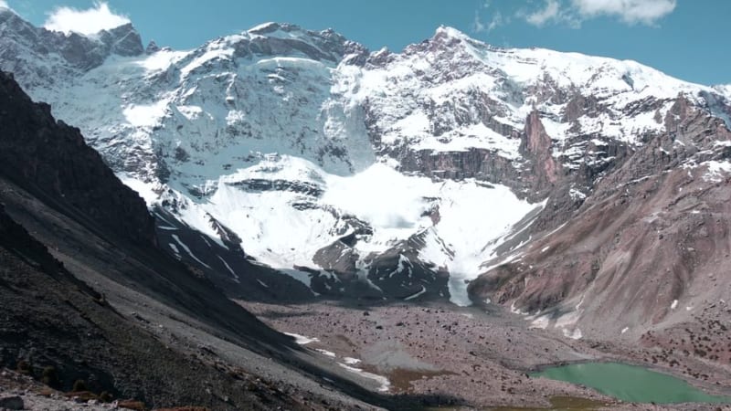
 Bulunkul Lake
A wind-flattened alpine lake on the Alichur Plateau where the water freezes solid and the nearby village claims the region's cruelest winters.
Explore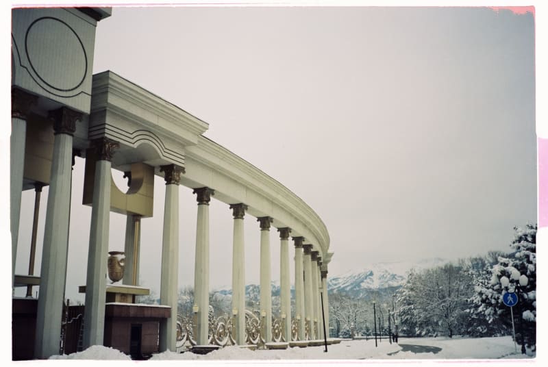 tajikistan
 Dushanbe
A Soviet-built capital where tea houses and Cyrillic signs share space with Persian poetry carved into marble facades.
Explore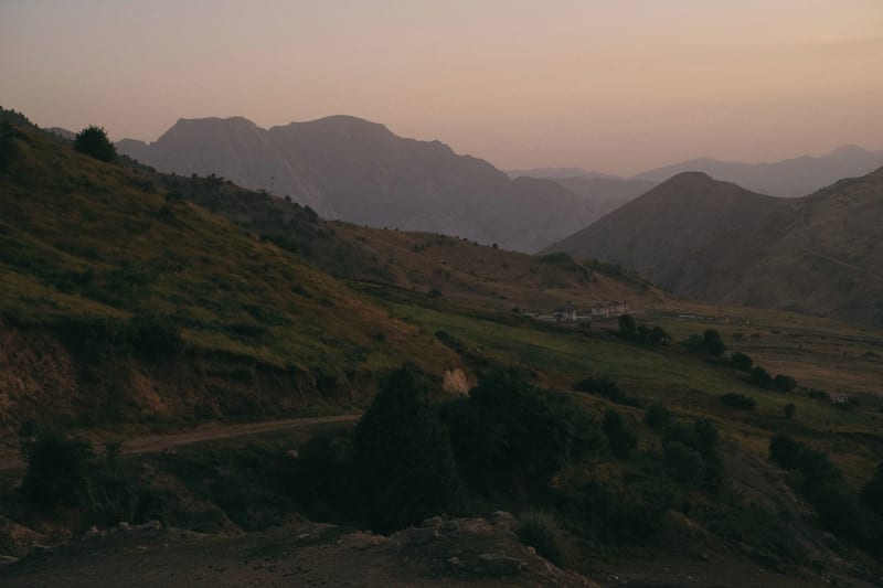 tajikistan
 Fan Mountains
A compact alpine world of turquoise lakes, 5,000-meter peaks, and trails that reward the effort with some of the most photogenic terrain in Central Asia.
Explore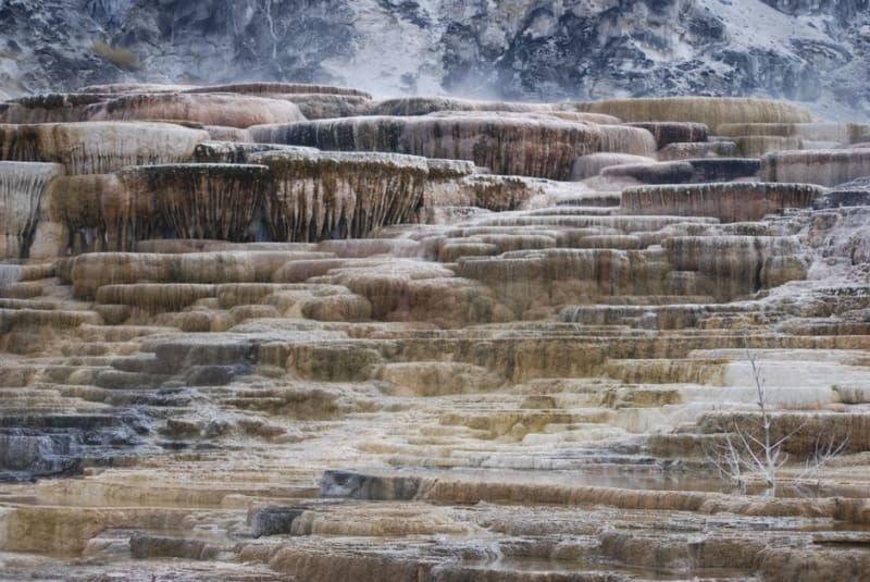 tajikistan
 Garm Chashma
Mineral-laden hot springs pouring down chalky travertine terraces in a narrow Pamir side valley, steaming even in a bitter wind.
Explore tajikistan
 Hisor Fortress
A rebuilt citadel on a bluff outside Dushanbe whose foundations reach back to pre-Islamic Central Asia, now framed by gardens and a bazaar.
Explore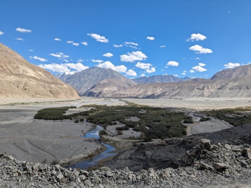 tajikistan
 Ishkashim
A quiet Wakhan border town whose weekly island market lets Tajik and Afghan traders sell to each other without either side needing a visa.
Explore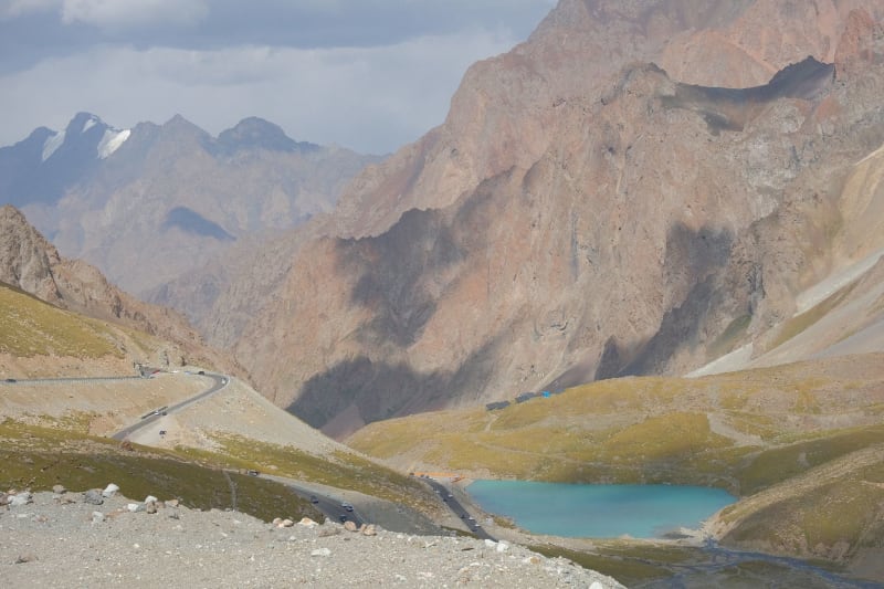 tajikistan
 Iskanderkul
A glacier-fed lake in the Fan Mountains with water so improbably blue it looks like someone made a decision about it.
Explore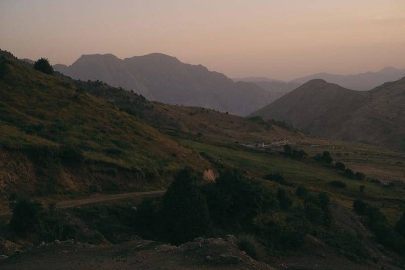 tajikistan
 Kalai-Khumb
A dusty riverside town on the Panj where the Pamir Highway stops pretending to be a normal road and starts climbing into the mountains.
Explore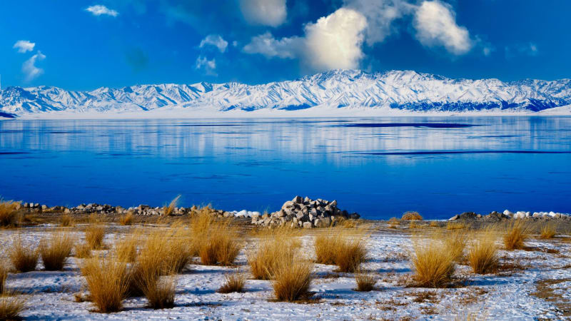 tajikistan
 Karakul Lake
A vast, fiercely blue salt lake sitting at nearly 4,000 metres inside an ancient meteorite crater on the high Pamir, where a single windblown village clings to the shore beneath the thinnest sky I have ever breathed.
Explore tajikistan
 Khorog
The unlikely capital of Gorno-Badakhshan sits in a deep river gorge where two rivers meet, and where the Aga Khan's development projects have created something quietly extraordinary.
Explore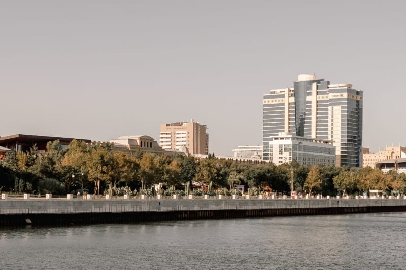 tajikistan
 Khujand
Tajikistan's second city sits in the fertile Fergana Valley where Silk Road merchants once stopped and where the bazaar still runs on the same logic.
Explore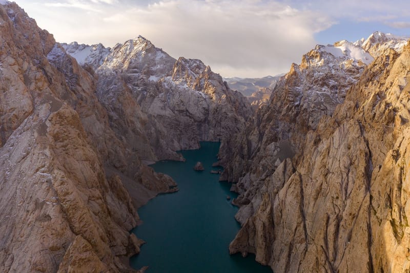 tajikistan
 Murghab
A Kyrgyz market town at 3,600 meters on the Pamir Plateau, where the sky is closer than anywhere I've been and the wind never quite stops.
Explore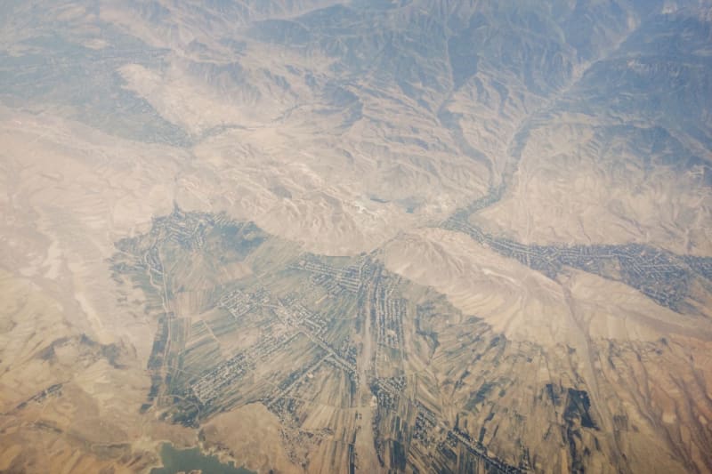 tajikistan
 Nurek
A Soviet-built dam town on the Vakhsh River where one of the world's tallest earthen dams holds back a reservoir that turns improbable shades of green.
Explore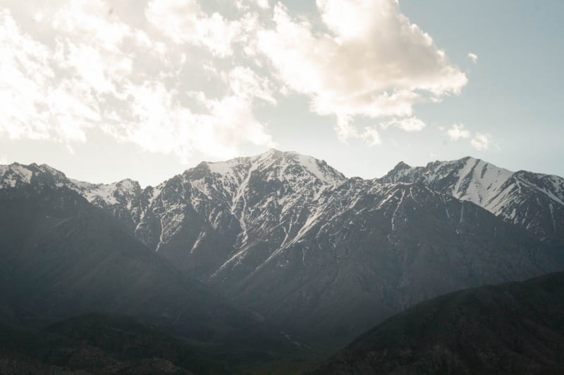 tajikistan
 Pamir Highway
The M41 is one of the world's highest roads — a 1,200-kilometer corridor of altitude, emptiness, and improbable hospitality.
Explore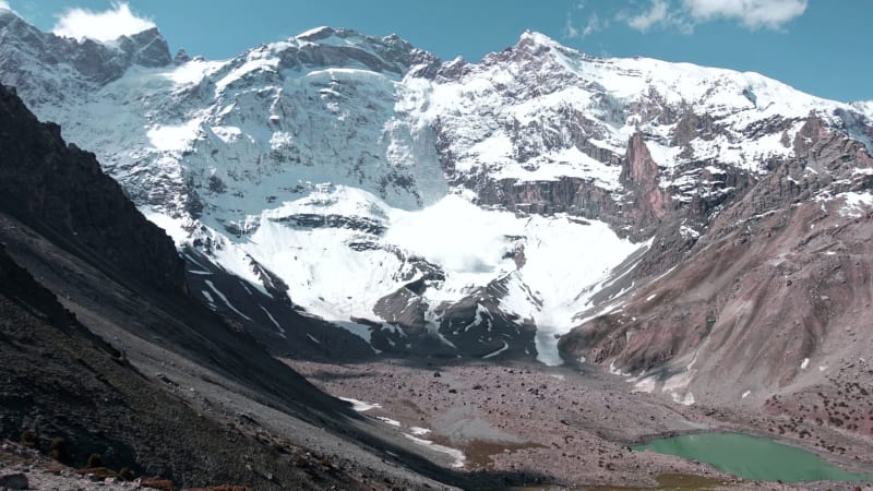 tajikistan
 Penjikent
A quiet Zeravshan Valley town sitting atop the ruins of a 5th-century Sogdian city whose painted walls ended up in the Hermitage.
Explore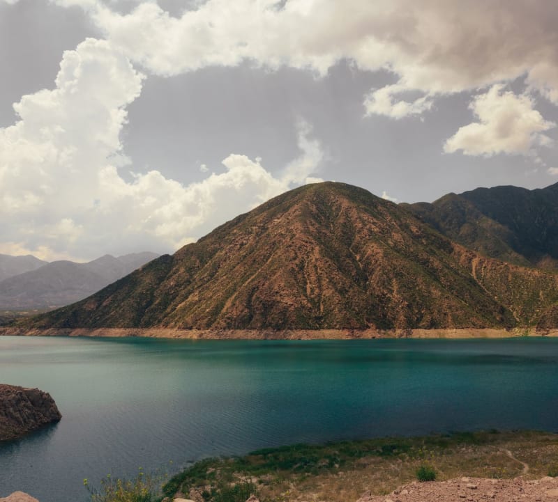 tajikistan
 Wakhan Valley
A narrow corridor between Tajikistan and Afghanistan where the Hindu Kush and Pamir ranges collide and time runs differently.
Explore