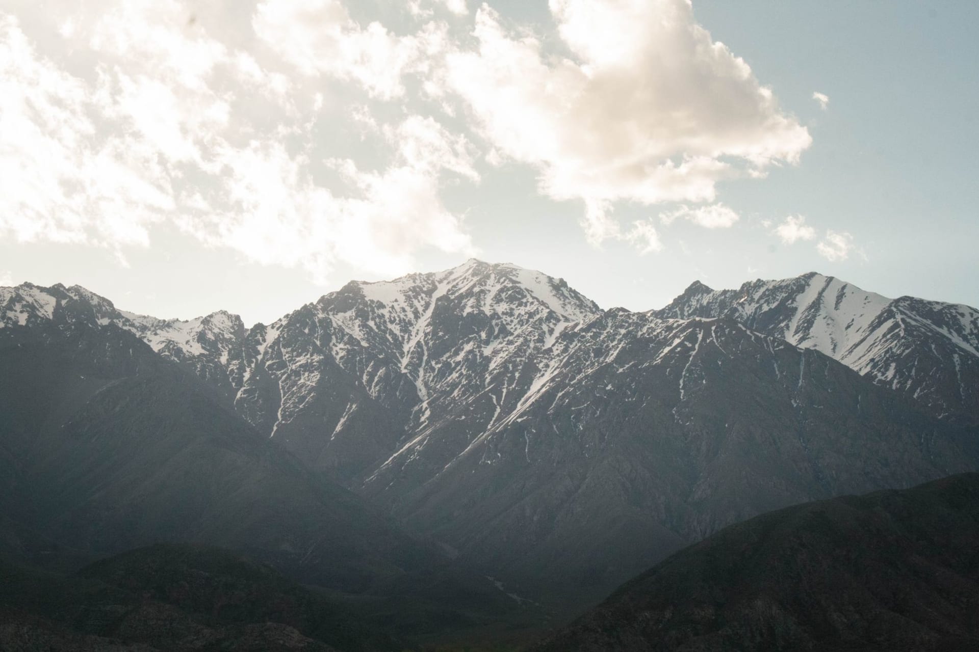
Pamir Highway
"Every time the road disappeared, I assumed we were lost. Every time, we weren't."
The M41 is one of the world's highest roads — a 1,200-kilometer corridor of altitude, emptiness, and improbable hospitality.

The Pamir Highway doesn’t announce itself. It just starts being the road you’re on, and then it keeps going, and going, until the altitude makes your temples throb and the distances between settlements stop being comprehensible in normal units. We drove it in a shared Lada from Dushanbe over six days, and by the end I’d lost whatever instinct I had for scale. Everything here is too large for the brain to process without some recalibration.
The Climb out of the Green Zone
The first hundred kilometers south of Dushanbe are lush — irrigated orchards, roadside melons, the Vakhsh River brown with silt. Then the valley tightens, the vegetation thins, and somewhere around Kalaikhumb you cross into something else entirely. The rock faces begin their color show: maroon, orange, ochre, a grey that goes almost violet in late afternoon light. The Panj River appears on your right and stays there for hundreds of kilometers, with Afghanistan visible across the water. Villages materialize on the far bank, too close to feel like another country, too far to reach without a border crossing you don’t have papers for.
Altitude and the Body
The Ak-Baital Pass tops out at 4,655 meters and your body knows it before your brain does. I’d been at altitude before — Mexico City is 2,200 meters, which means nothing up here — but Ak-Baital is a different negotiation. The headache comes first, then a faint nausea, then a strange emotional flatness that I associate now with hypoxia rather than ennui. We stopped at the summit and I stood outside the car for five minutes feeling the cold and the thin air and the total, ringing silence. The plateau stretches in every direction and nothing interrupts it.
The Villages In Between
Rushan, Rushon, Ishkashim: these are the waypoints, and each has a chaikhana where you can get green tea and noodle soup and sometimes a bed on a raised platform behind a curtain. The hospitality is not performative. You’re asked questions — where are you from, how many children do you have, why so few — and then fed regardless of your answers. One night in a homestay near Khorog, the family produced a tablecloth full of jam, bread, and clotted cream at 8 p.m. for no apparent reason other than that we looked hungry. We were.
Logistics and the Right Mindset
You need a GBAO permit in addition to your Tajikistan visa — get it in Dushanbe or arrange it in advance. Shared taxis are the standard mode; negotiating the full route in a single vehicle rarely works the way you want it to. Fuel stations are sparse past Khorog, so carry extra. The road surface varies between “surprisingly paved” and “this is not a road.” A higher wheelbase helps. So does going slowly.
When to go: Mid-June through September is the reliable window, when the high passes are snow-free. July and August are peak traffic (relatively speaking). September offers crisp air and fewer travelers. Spring snowmelt can close passes through May; never count on October.
Keep exploring
More from Tajikistan
 tajikistan
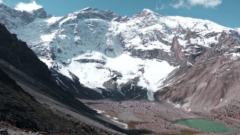
 Penjikent
A quiet Zeravshan Valley town sitting atop the ruins of a 5th-century Sogdian city whose painted walls ended up in the Hermitage.
Explore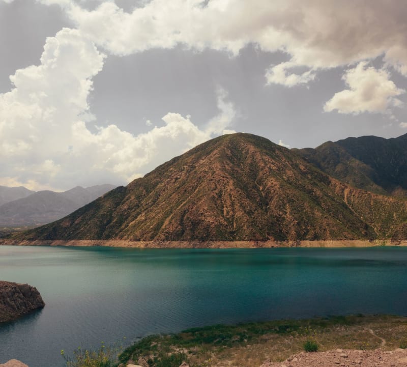 tajikistan
 Wakhan Valley
A narrow corridor between Tajikistan and Afghanistan where the Hindu Kush and Pamir ranges collide and time runs differently.
Explore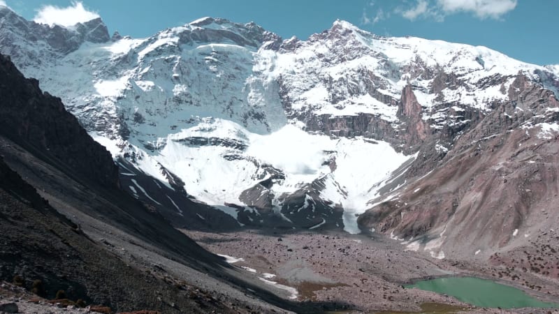 tajikistan
 Yagnob Valley
A remote mountain enclave where a few hundred villagers still speak Sogdian, the language of the ancient Silk Road merchants, essentially unchanged for 1,500 years.
Explore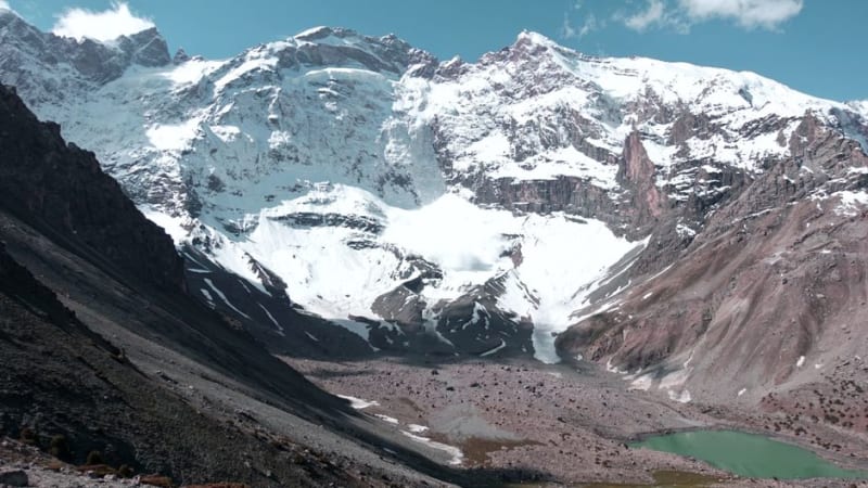 tajikistan
 Bulunkul Lake
A wind-flattened alpine lake on the Alichur Plateau where the water freezes solid and the nearby village claims the region's cruelest winters.
Explore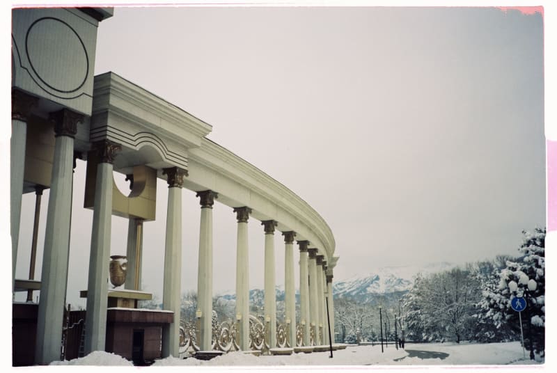 tajikistan
 Dushanbe
A Soviet-built capital where tea houses and Cyrillic signs share space with Persian poetry carved into marble facades.
Explore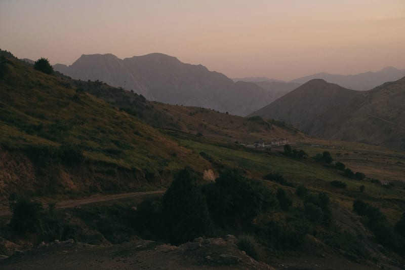 tajikistan
 Fan Mountains
A compact alpine world of turquoise lakes, 5,000-meter peaks, and trails that reward the effort with some of the most photogenic terrain in Central Asia.
Explore