
Pithoragarh
"A shopkeeper in Pithoragarh asked why on earth we'd come all that way, and I still didn't have a good answer for him."
A terraced valley town near the Nepal and Tibet borders, nicknamed 'Little Kashmir' for its bowl of green fields ringed by pine ridges.

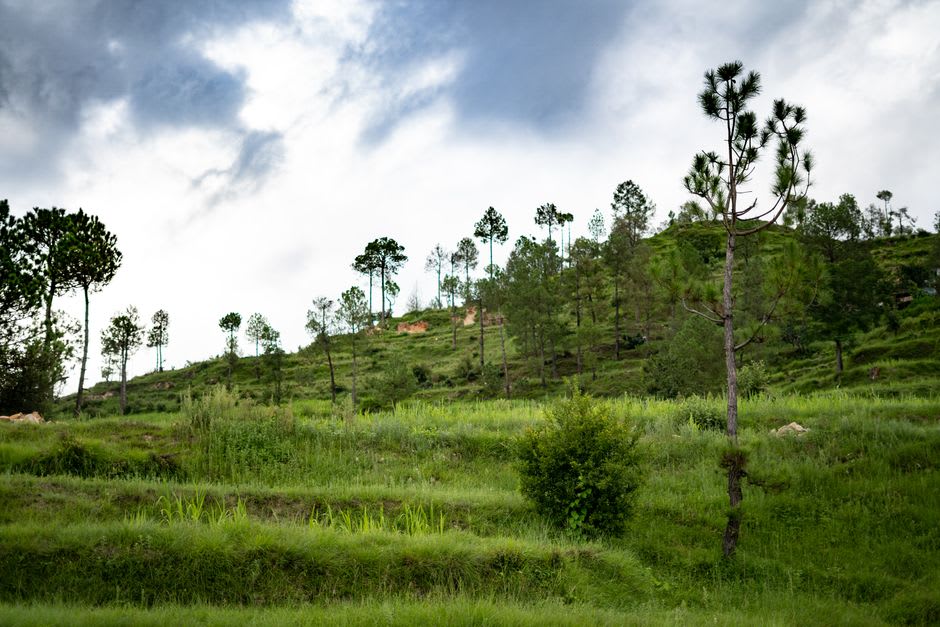
We reached Pithoragarh after a long, winding drive from Almora that took most of a day, and the first thing I said to Lia when the valley opened up below us was something like “oh, now I get the nickname.” It’s not really Kashmir, obviously, nothing quite has that particular light, but the comparison makes sense the moment you see it — a wide bowl of terraced fields, mostly rice and wheat depending on the season, ringed by pine-covered ridges, with the town itself spread up one of the slopes in tiers. It’s the kind of view that photographs badly because no single frame holds the scale of it.
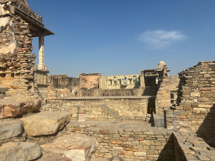
What struck me most was how little the town performs for visitors. Pithoragarh isn’t on the standard Uttarakhand circuit — most people passing through are headed further, toward the trekking routes near the Nepal and Tibet borders or the pilgrimage trail to Adi Kailash and Om Parvat — so the market street felt refreshingly unstaged. Wool traders, hardware stores, a cinema hall that looked untouched since maybe the eighties. We wandered up to the old Pithoragarh Fort, really just weathered stone walls from the Chand dynasty era with a Nepali gate built later, and had the whole ruin to ourselves except for a family having a picnic on the grass inside it.
Lia was more taken with Chandak, a small ridge above town where locals go for sunset and, on a genuinely clear day, apparently a distant look at Nanda Devi and other high peaks. We weren’t quite lucky enough with the weather — a bank of cloud sat stubbornly over the far ranges — but the walk up through rhododendron and oak forest was worth it on its own, and a woman selling roasted corn at the top gave us directions to a shortcut path down that saved us twenty minutes and a sore knee each.
Because it’s this close to two international borders, the town has a faint military presence too, army trucks moving through, checkpoints on some of the roads further out that we didn’t have permits to pass. That gave the place an edge of remoteness that Ranikhet, despite also being a cantonment town, didn’t have. Pithoragarh feels like the edge of somewhere, in the best way — not a destination people casually mention, but one that rewards the effort of the detour.
When to go: Visit March to June or September to November for the clearest views of the valley and distant peaks; the monsoon months (July-August) bring heavy rain and occasional landslides on the access roads.
Keep exploring
More from Uttarakhand
 uttarakhand
 Ranikhet
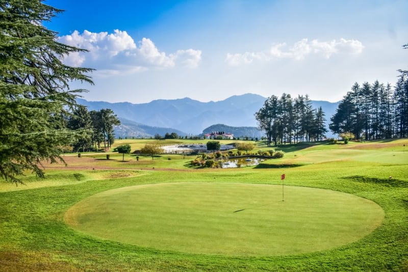
A quiet colonial-era cantonment hill station in Kumaon, still run in part by the army, with a pine-scented golf course and long Himalayan views.
Explore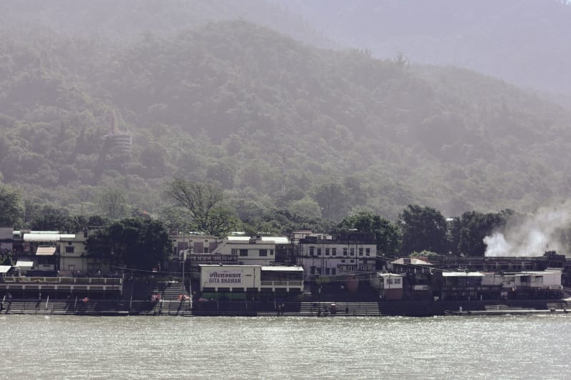 uttarakhand
 Rishikesh
Where the Ganges cuts through forested hills and every suspension bridge above it vibrates with the combined weight of pilgrims, backpackers, and the permanently bewildered.
Explore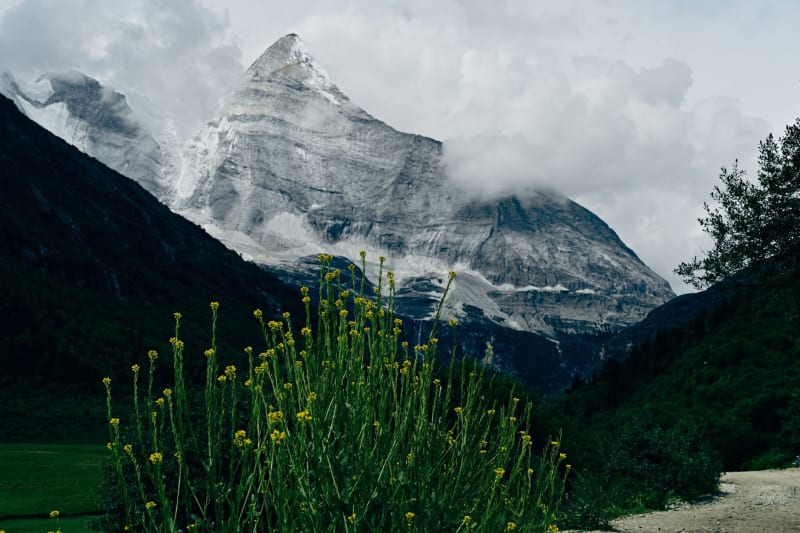 uttarakhand
 Valley of Flowers
A UNESCO World Heritage glacial valley in the high Garhwal Himalaya that blooms into an almost hallucinatory carpet of alpine wildflowers for ten weeks each summer, at 3,500 meters and completely inaccessible by road.
Explore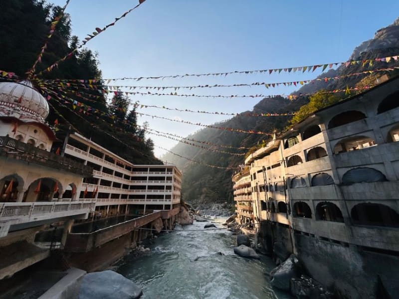 uttarakhand
 Yamunotri
A remote Himalayan temple town at the source of the Yamuna River, reachable only on foot up a steep, mule-worn mountain trail.
Explore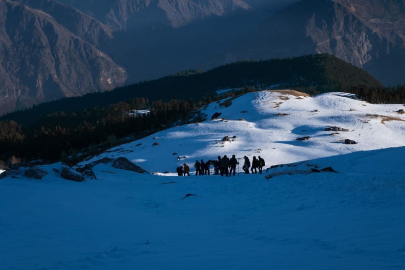 uttarakhand
 Auli
A ski slope carved into an oak and rhododendron forest at 2,500 meters, with an unbroken Himalayan panorama that includes Nanda Devi, and snow conditions that hold long after the season most people expect.
Explore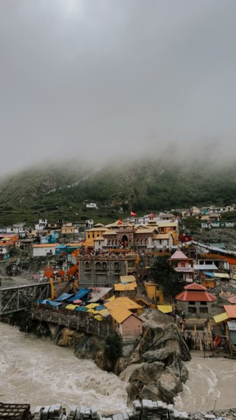 uttarakhand
 Badrinath
A high-altitude temple town on the Alaknanda where the mountains, the pilgrims, and the steam off a hot spring all feel like part of the same ritual.
Explore