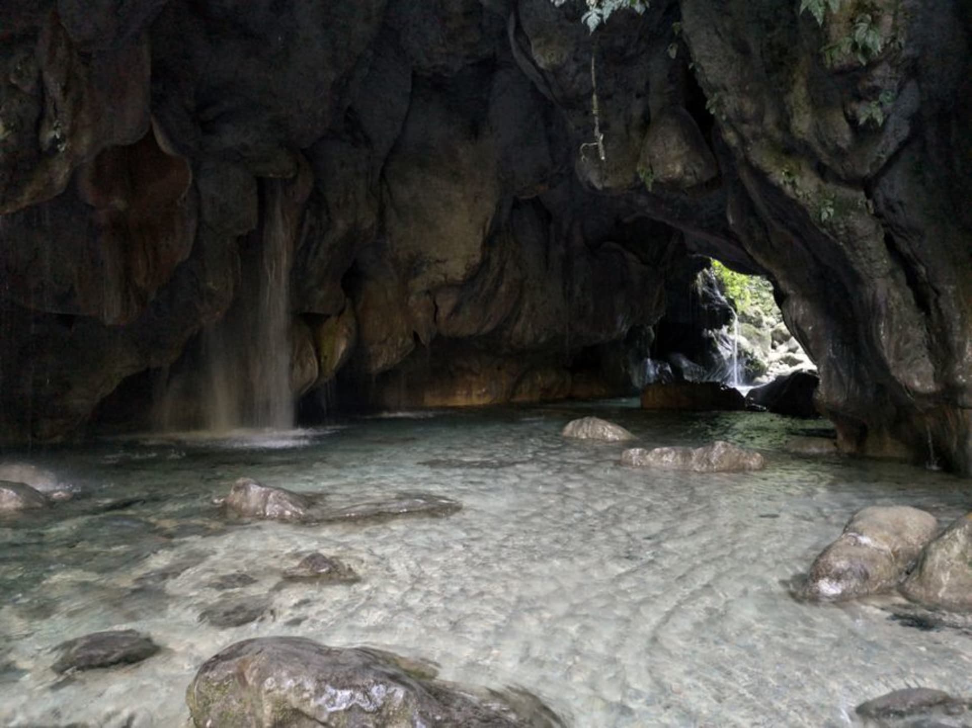
Arroyo Seco
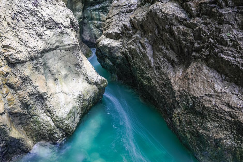
"The river at the bottom of that canyon is a specific shade of blue-green I spent the rest of the trip trying to describe to people. I have mostly failed. You have to go see it for yourself."
A municipality tucked into the northern Sierra Gorda biosphere where the Cañón del Infiernillo opens onto river water of an improbable blue-green, framed by canyon walls dense with subtropical growth. Almost no one makes it here, which given what waits at the bottom is one of Mexico's more persistent travel mysteries.

The road into Arroyo Seco from Jalpan de Serra takes about forty minutes longer than any map application will tell you. I arrived in early afternoon having misjudged the distance twice, the Sierra Gorda closing in around the car in that particular way it has — canyon walls rising, the vegetation thickening until the sky is just a sliver overhead. I was not prepared for what waited at the bottom. The river appeared below a bend in the road, and I stopped the car. The color of it made no sense.
El Cañón del Infiernillo
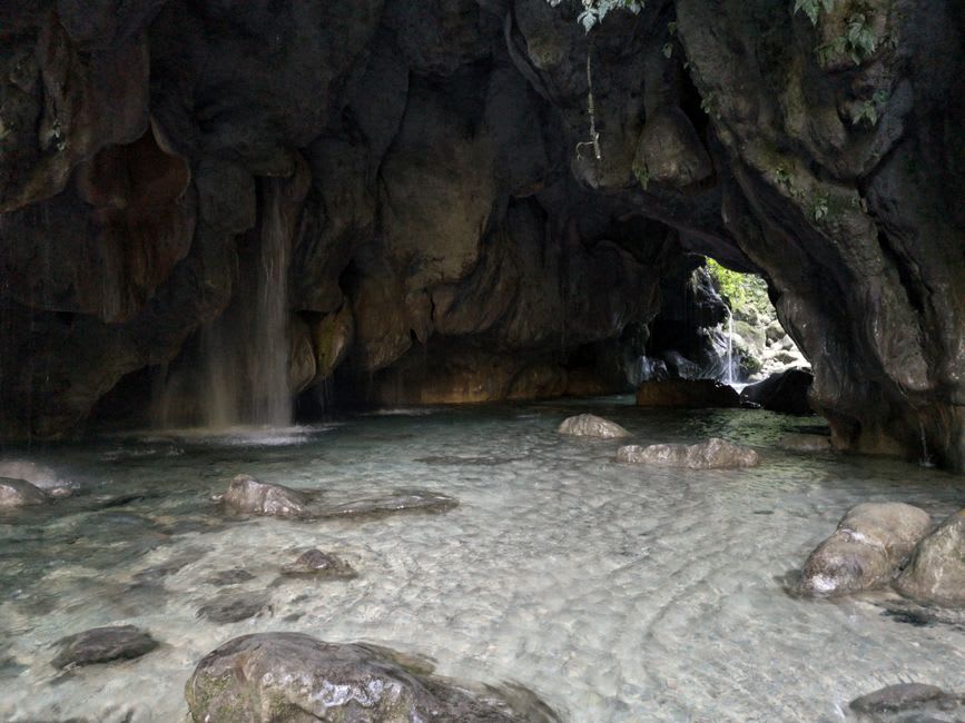
The name translates roughly as Canyon of Little Hell, which tells you something about the terrain and nothing at all about the water. The Río Ayutla cuts through here and what it does to the light in the late morning is difficult to account for. The turquoise is not a postcard exaggeration. It is specific and almost aggressive, this blue-green that reads as artificial against the dark canyon walls and the subtropical green pressing down from both sides. I spent an hour on the rocks beside the swimming hole below the main access point, not really swimming, mostly watching the color shift as clouds moved over the canyon rim.
There are rope swings. There are families from Jalpan on weekends. On a Tuesday in November I had most of it to myself, which felt like a minor undeserved privilege. The water is cold enough to be useful after the drive. The walk along the river past the first pool rewards patience — the vegetation becomes stranger the further in you go, tree ferns and mosses and plants that look transplanted from somewhere much further south.
The Village and What It Eats
Arroyo Seco the town sits above the canyon access point, a collection of streets organized around a plaza that operates at the relaxed pace of a place that does not receive many visitors and has not reconfigured itself to do so. The mercado municipal on the main square runs in the mornings; by noon the food stalls wind down, so timing matters. I ate gorditas de maíz with frijoles negros and nopales at a puesto run by a woman who asked me twice where I was from and seemed unconvinced both times. There was a chile xoconostle salsa on the table that I put on everything. The xoconostle — a sour variety of prickly pear native to the highlands — shows up across this part of Querétaro in ways you do not encounter further south. It has a sourness that cuts through fat in the way a good French cornichon does, which perhaps explains why I find it oddly comforting.
Practical Notes
The canyon access requires a small fee paid at a caseta on the road down — around forty pesos when I visited, though these things change. Go before noon if you want the turquoise in its best light; the canyon orientation means afternoon shadow arrives earlier than you expect. For sleeping, Jalpan de Serra twenty-five kilometers back is better equipped, though there are a few casas de huéspedes in the town itself. I did not stay overnight. I now consider that a mistake.
Getting There
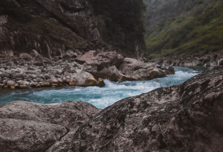
The nearest town of any size is Jalpan de Serra, roughly 25 kilometers away via MEX-120. From Querétaro city, the drive runs about three hours through increasingly dramatic mountain terrain. Bus service from Jalpan to Arroyo Seco exists but schedules are irregular; a car gives you the flexibility the canyon access road rewards. Dry season — October through April — is the practical window, though the river runs year-round.
Keep exploring
More of Querétaro
Keep exploring
More from Querétaro
 mexico
 Pinal de Amoles
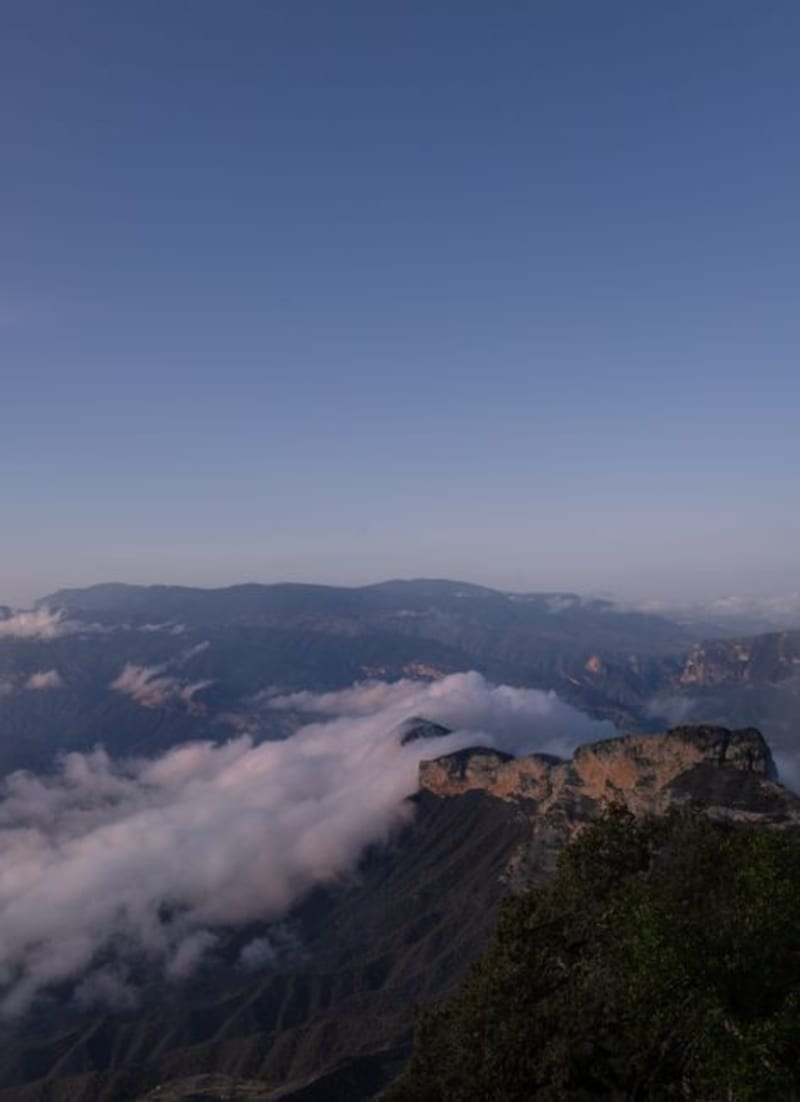
Pinal de Amoles sits at 2,400 meters on the edge of the Sierra Gorda, where the road from the canyon delivers you — slightly shaken — into a village that produces cheeses and mezcals found nowhere else. The barranca drops away dramatically on the south side of the main street, and the surrounding biosphere reserve presses in from every other direction.
Explore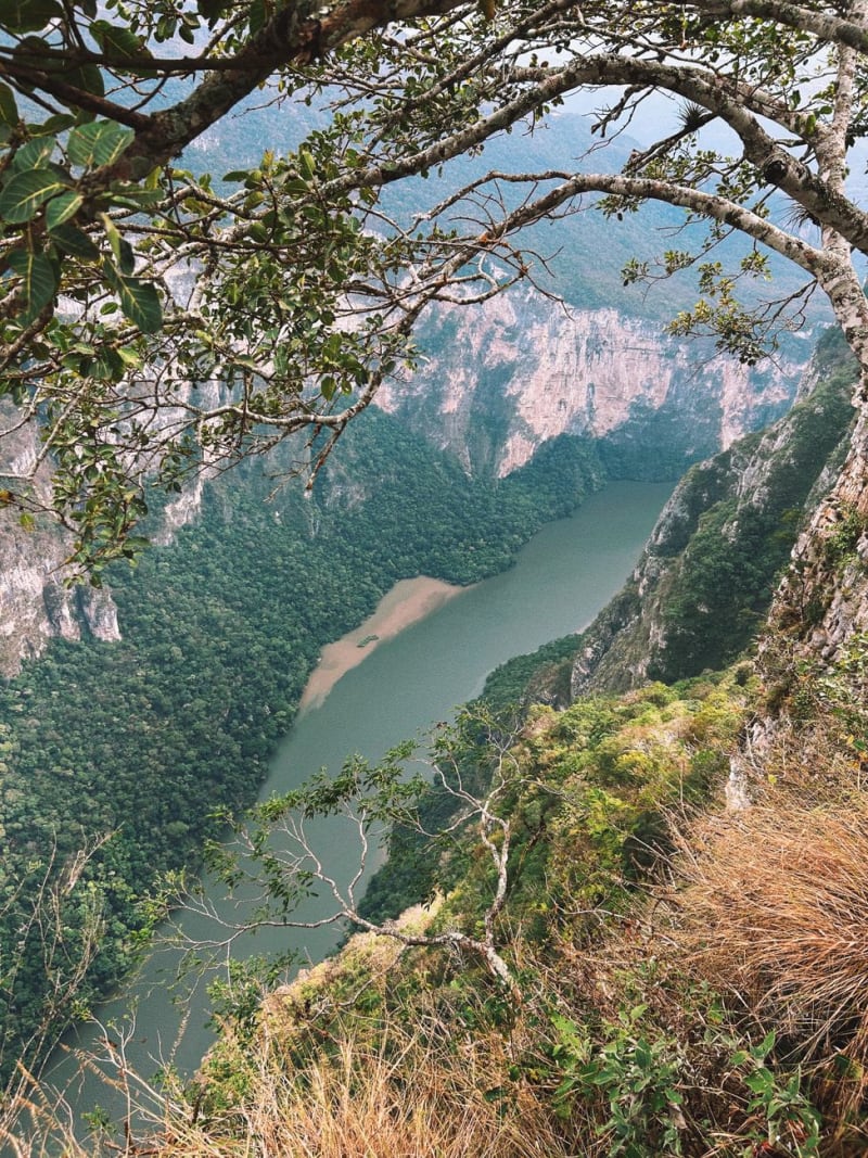 mexico
 Jalpan de Serra
A mission town tucked deep in the Sierra Gorda mountains of Querétaro, where Junípero Serra built one of his most ornate baroque churches before heading to California. The surrounding biosphere reserve is among the most biodiverse in Mexico — cloud forest, semi-arid scrubland, and tropical canyon all within a few kilometers of each other.
Explore mexico
 Landa de Matamoros
Deep in the Sierra Gorda biosphere, Landa de Matamoros is a Pueblo Mágico most travelers skip on their way to the UNESCO Franciscan missions — which is exactly why staying here makes more sense than leaving.
Explore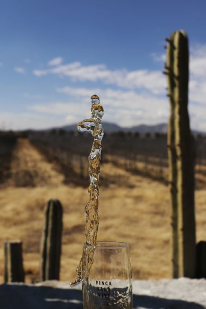 mexico
 Vizarrón de Montes
A marble-quarrying town perched at the edge of one of central Mexico's most dramatic canyons, where the plateau abruptly ends and a world of pale limestone, organ cactus forests, and slow-shifting afternoon light begins. Almost nobody comes here specifically. Almost nobody who does regrets it.
Explore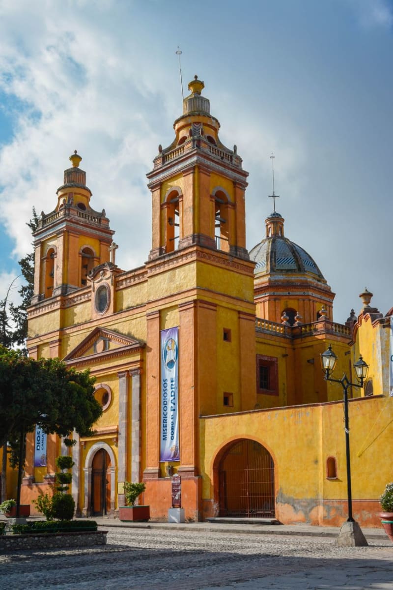 mexico
 Cadereyta de Montes
Cadereyta de Montes is a small colonial town in the eastern foothills of Querétaro that most people pass through on the way to the Sierra Gorda and never stop in, which is a mistake, because the cactus botanical garden here has 2,000 species of succulent plants from across North America and I spent two unplanned hours there and left with a small Mammillaria wrapped in newspaper. The baroque parish church is excellent.
Explore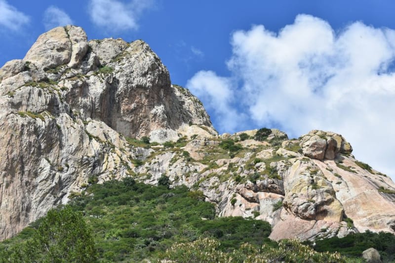 mexico
 Peña de Bernal
The third-largest monolith on Earth rising from a colonial village in the Querétaro highlands — a 433-meter rock that the Chichimec people considered sacred, surrounded by a Pueblo Mágico of queso de tuna cactus candy and artisanal textiles.
Explore