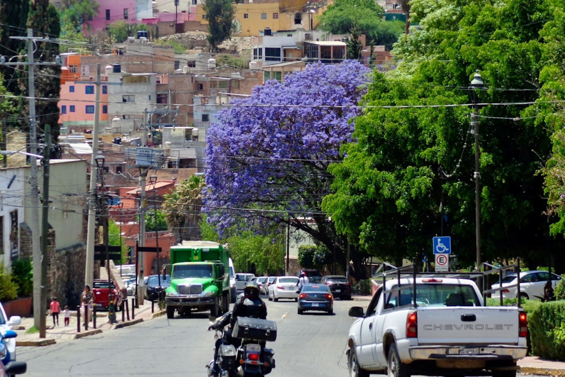
Valle de Bravo
"The lake was created by a dam in the 1940s. The town adapted so completely that you forget it was ever a valley."
A colonial lakeside town two hours west of Mexico City, where a reservoir built in the 1940s gave birth to one of the country's most unlikely sailing cultures. Paragliders drift off the pine-covered ridges above a whitewashed church while weekend sailors tack back and forth below. The valley is long gone. Nobody seems to miss it.

I came to Valle de Bravo on a Thursday, which meant I had the malecón mostly to myself — just a few retirees drinking café de olla at Café Colibrí and a sailing instructor hauling a Hobie Cat down the concrete ramp. By Friday evening the town had transformed completely, the restaurants along Calle Pagaza filling with families from Polanco and Lomas who treat this lake the way Parisians treat Annecy: as a constitutional right, visited every chance they get. I found I understood them immediately. The water here does something to the light.
The Reservoir and Its Sailors
The Presa Valle de Bravo was completed in 1947, flooding the old valley floor to supply water to Mexico City and generate hydroelectric power. What the engineers couldn’t have predicted was that within a generation, the town perched on the hillside above it would become one of Mexico’s most serious sailing destinations. The Club de Vela Valle de Bravo runs regattas most weekends from October through May, and the cove in front of town fills with Lasers, Optis for the kids, and the occasional trimaran that seems to have arrived from somewhere more serious. I spent an afternoon on the water with a rental kayak from one of the small outfitters near the embarcadero, paddling far enough from shore that the church tower of the Templo San Francisco shrank to the size of a thumb and the sound of the town disappeared completely. The reservoir covers 18 square kilometers and reaches 35 meters at its deepest. You don’t feel landlocked for a second.

Paragliders and the Ridge Above Town
The thermal conditions that make the hills above Valle de Bravo so reliable for paragliding are a consequence of the same geography that makes the lake exist at all — the Sierra Madre del Sur trapping warm air and channeling it upward off the water. La Peña is the main launch point, a rocky outcrop above the town where pilots queue in the morning before the thermals strengthen. From the malecón you can track their slow circles overhead for twenty minutes before they spiral down toward the landing field near the Santuario de la Peña. Several schools offer tandems — Alas del Hombre is the one locals pointed me toward — and the flight takes about fifteen minutes if the conditions are gentle, longer when the thermals cooperate. I didn’t fly. I watched from a terrace at Las Colorinas with a glass of local wine from the Valle de Guadalupe, which felt like a reasonable compromise.

The Town After the Boats Come In
By five o’clock the sailors are off the water and the Andador Joaquín Arcadio Pagaza fills with the particular Saturday-evening energy of a place that knows it has until Sunday night. The mercado on Calle Independencia runs a solid row of food stalls serving trucha al ajillo from the local trout farms and carnitas from Michoacán brought in by a vendor who has held the same corner for years. I ate standing, which is the correct approach. The mezcal bars on the hill above the jardín tend toward the serious — small producers, proper copitas, no neon signage.

Getting There
From Mexico City’s Terminal Poniente (Observatorio metro), direct buses run to Valle de Bravo with Línea Negra and Autobuses Valle de Bravo roughly every 30 minutes; the journey takes about two and a half hours depending on traffic on the Toluca highway. Driving from CDMX via the Autopista México-Toluca runs faster on a weekday. Friday afternoon and Sunday evening are reliably brutal in either direction.
Keep exploring
More of Estado de México
Keep exploring
More from Estado de México
 mexico
 Villa Victoria
A cold Mazahua highland municipality west of Toluca, where a great reservoir that helps supply Mexico City sits among pine forests and high-altitude farmland. Misty mornings, a modest town, and an indigenous identity that has held on through the mountain cold.
Explore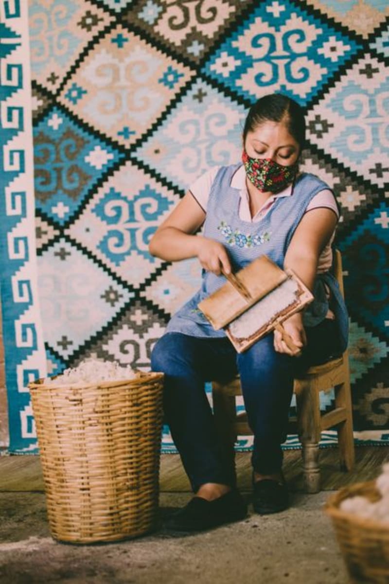 mexico
 Almoloya de Juarez
Almoloya de Juarez is Mazahua country at its most intact — highland meadows at 2,600 meters where the indigenous language still carries across the weekly market and naturally-dyed wool textiles tell a story the Spanish alphabet never quite captured. The sprawl of greater Toluca has not reached here yet, and the unhurried quality of the place feels less like a gap in development than a deliberate refusal.
Explore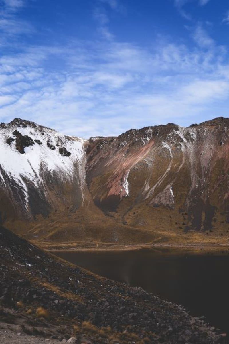 mexico
 Nevado de Toluca
A dormant volcano two hours from Mexico City where the trail drops into the collapsed caldera and finds two cold lakes — Lago del Sol and Lago de la Luna — sitting at 4,580 metres inside bare grey volcanic rock. The air bites. The water is an improbable turquoise-green, and people actually swim.
Explore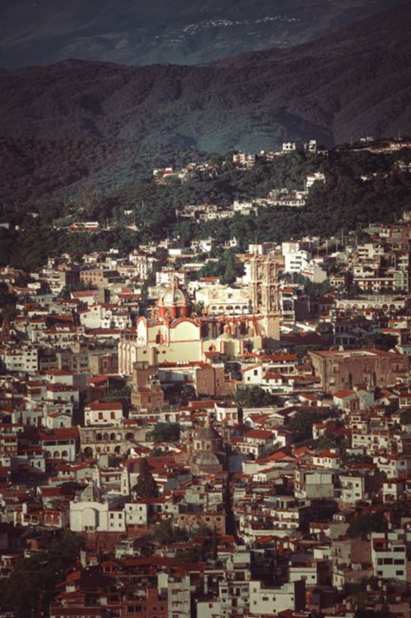 mexico
 Sultepec
A colonial silver-mining town folded into the mountains of southwestern Estado de México, Sultepec has been largely bypassed by the tourism circuit that defines most of the region. What remains is a town that moves at its own pace — ornate parish church, cobblestone streets, and market vendors who ask where you came from before they ask what you want.
Explore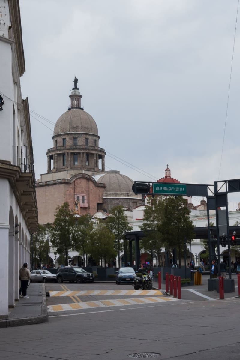 mexico
 Toluca
Toluca is the highest major city in Mexico — 2,680 meters on a plateau under the massive Nevado de Toluca volcano — and the state capital that Mexico City residents drive past without stopping, which is their loss. The Cosmovitral is a 1909 iron-and-glass market hall converted into a botanical garden wrapped in 3,000 square meters of Leopoldo Flores stained-glass panels, and it is one of the most remarkable interior spaces I have encountered in this country. The red chorizo of Toluca tastes nothing like chorizo anywhere else, and I spent an embarrassing portion of a single morning trying to understand why.
Explore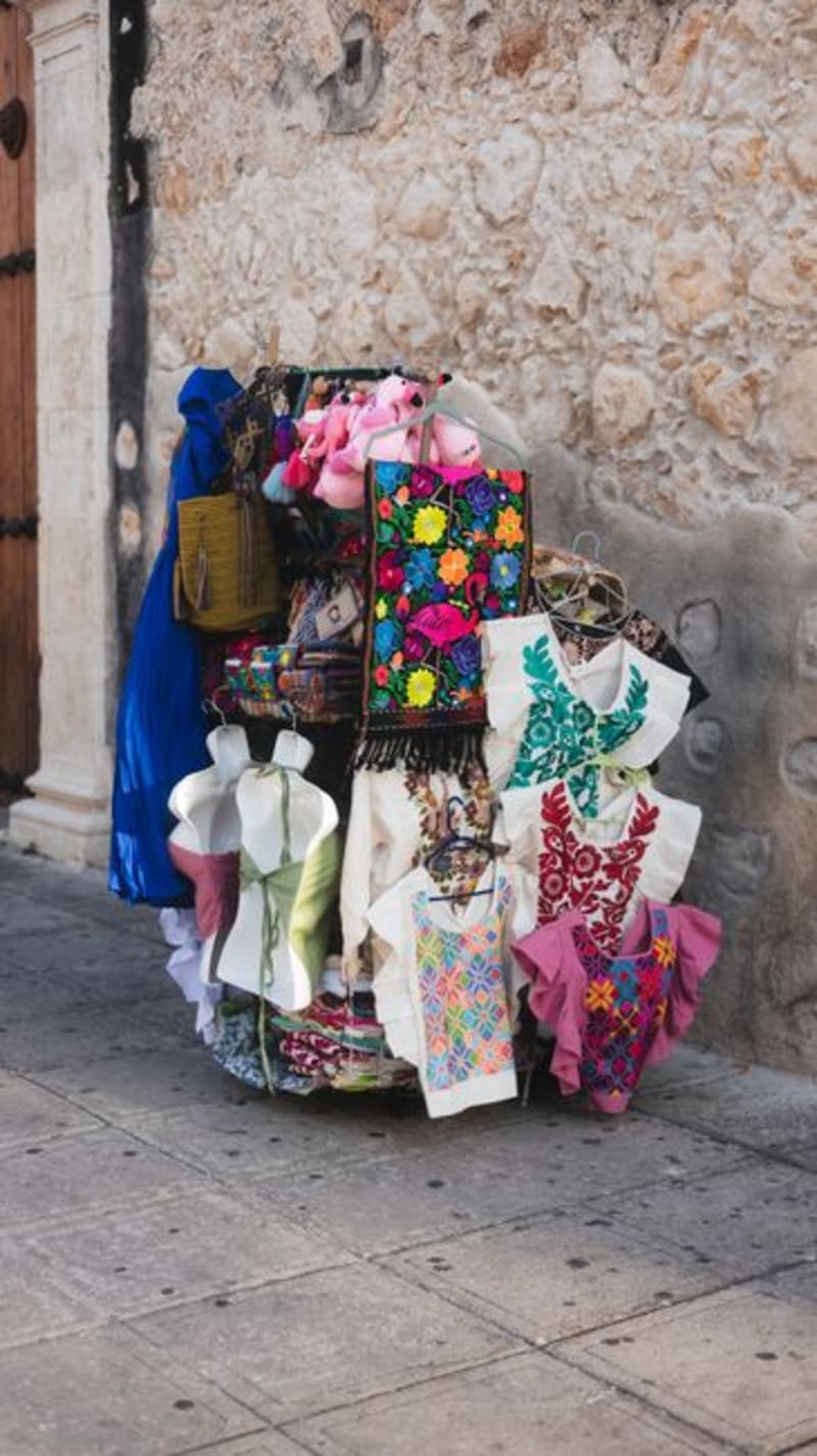 mexico
 Ixtlahuaca
Ixtlahuaca comes alive on Sundays when Mazahua and Otomi communities descend on the town for a tianguis that sprawls through every street around the colonial church. It is one of the most honest market experiences left in central Mexico — livestock, hand-embroidered textiles, medicinal herbs, and food that exists nowhere else.
Explore