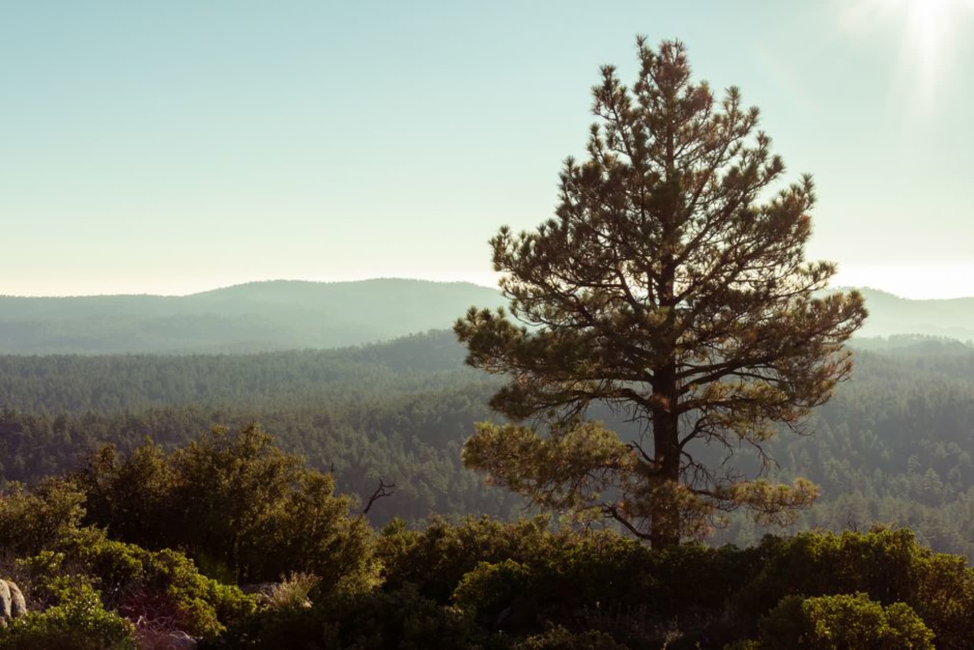
Sierra de San Pedro Mártir
"I drove up from sea level expecting heat and found juniper shade, snowmelt running through the rocks, and a condor the size of a small table floating overhead."
A high sierra rising to nearly 3,000 meters in the middle of the Baja peninsula, where pine forests replace desert scrub, California condors ride the thermals, and Mexico's national astronomical observatory keeps watch above the clouds. Almost nobody stops here.

I had been on the Transpeninsular for six hours before a sign near the Valle de San Quintín turnoff caught my eye — a ranger station, a national park, a road climbing east into mountains that barely registered from the highway as anything more than a brown horizon. I turned off anyway, the kind of decision you make at three in the afternoon when the next city still feels abstract. By the time I reached 2,000 meters the air smelled of pine and I had my jacket out for the first time since Ensenada. Baja, it turns out, has been keeping a secret from everyone driving straight to Cabo.
What the Sky Holds
The California condor nearly vanished from the planet in 1987 — twenty-seven birds left, all captured. The recovery program has been one of the more remarkable efforts in conservation, and the Sierra de San Pedro Mártir is one of the places where you can see the result. Standing at the canyon rim near Picacho del Diablo on my second afternoon, I watched four of them ride the thermals above the gorge. Condors are not elegant in the way raptors are elegant. They are enormous and deliberate, their wingspan pushing nearly three meters, their heads bare and pink, their movements more geological than aerial — they hold altitude the way a boulder holds heat.
A ranger at the park entrance told me they see six or eight birds regularly now. He said it with the quiet satisfaction of someone who has watched something come back from the edge. I stayed two hours at that viewpoint, standing on granite with the Pacific invisible somewhere to the west and the Gulf somewhere to the east, and I did not look at my phone once.
The Observatory Above the Clouds
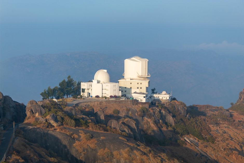
The Observatorio Astronómico Nacional sits at 2,830 meters, perched on a granite ridge at the end of a dirt road that requires patience and a vehicle with some ground clearance. It is one of the finest observing sites in North America — the seeing conditions up here, above the Pacific marine layer and well away from any meaningful light pollution, are exceptional by any standard. On weekend nights from May through October, the observatory runs public visits: you queue, a technician tilts the dome, and through a telescope the size of a small car you look at something that quietly rearranges your sense of scale.
I went on a Saturday in late June. The moon was mostly down, and the Milky Way was not a concept but a physical presence overhead, crowded and specific. A French astrophysics student named Clément was there for his third visit and talked about the seeing data the way someone talks about a place they are planning to move to. We compared notes until the cold pushed us toward our respective cars sometime after midnight.
The Granite and the Cold
The park has a handful of marked trails, none particularly long, and a campsite near the observatory called Vallecitos that costs almost nothing and fills only on summer weekends. The route toward Picacho del Diablo — the highest point in Baja at 3,096 meters — is a serious multi-day undertaking with real exposure and snow well into spring. Most visitors, which is to say almost no one, stick to the lower forest trails winding through Jeffrey pine and white fir, past granite boulders the size of houses with lichen the color of old mustard.
Bring everything you need. The nearest town with a tienda is San Telmo, an hour down the mountain. The cold at night surprised me even in June: I woke at 4 a.m. with frost on the fly of my tent and a silence so complete I could hear the blood in my ears.
Getting There
The turnoff from Highway 1 is near the town of Colonet — a paved road climbs to San Telmo before the dirt section begins. Ensenada is the closest city of any size, roughly two and a half hours by road. The park is open year-round but accessible to most vehicles from May through October; a modest entrance fee is collected at the ranger gate. Come prepared for self-sufficiency: there is nothing for sale once you pass San Telmo.
Keep exploring
More of Baja California
Keep exploring
More from Baja California
 mexico
 San Felipe
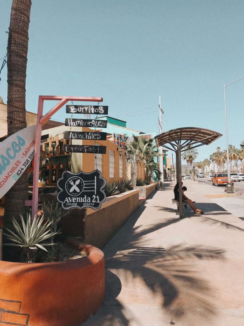
San Felipe is a fishing village on the Sea of Cortez where the shrimp comes off the boats each morning and ends up on tostadas at the malecón market by noon, crisp and lime-soaked and served with a habanero salsa that arrives without negotiation. The town draws families from Mexicali for weekends, has a strange tidal range of seven to nine meters that exposes an enormous intertidal flat at low tide, and sits at the northern edge of one of the most ecologically significant marine reserves in the world. I arrived expecting a resort. I found a working fish market and a seafront of pickup trucks.
Explore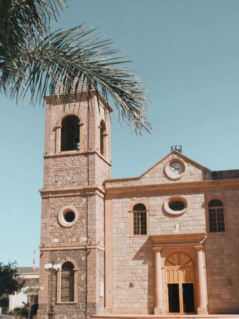 mexico
 El Rosario
El Rosario sits at the point where Baja California stops pretending to be convenient. The Transpeninsular Highway narrows, the cardon forests thicken, and the peninsula's wilder, more indifferent self takes over — and Mama Espinoza's lobster burrito has been fueling that transition for decades.
Explore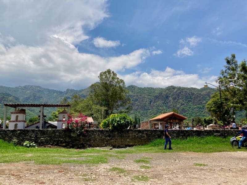 mexico
 Valle de Guadalupe
Mexico's most acclaimed wine valley in northern Baja California — a dust-road circuit of boutique wineries, open-fire restaurants, and one of the best concentrations of serious food in Latin America, forty minutes from Ensenada.
Explore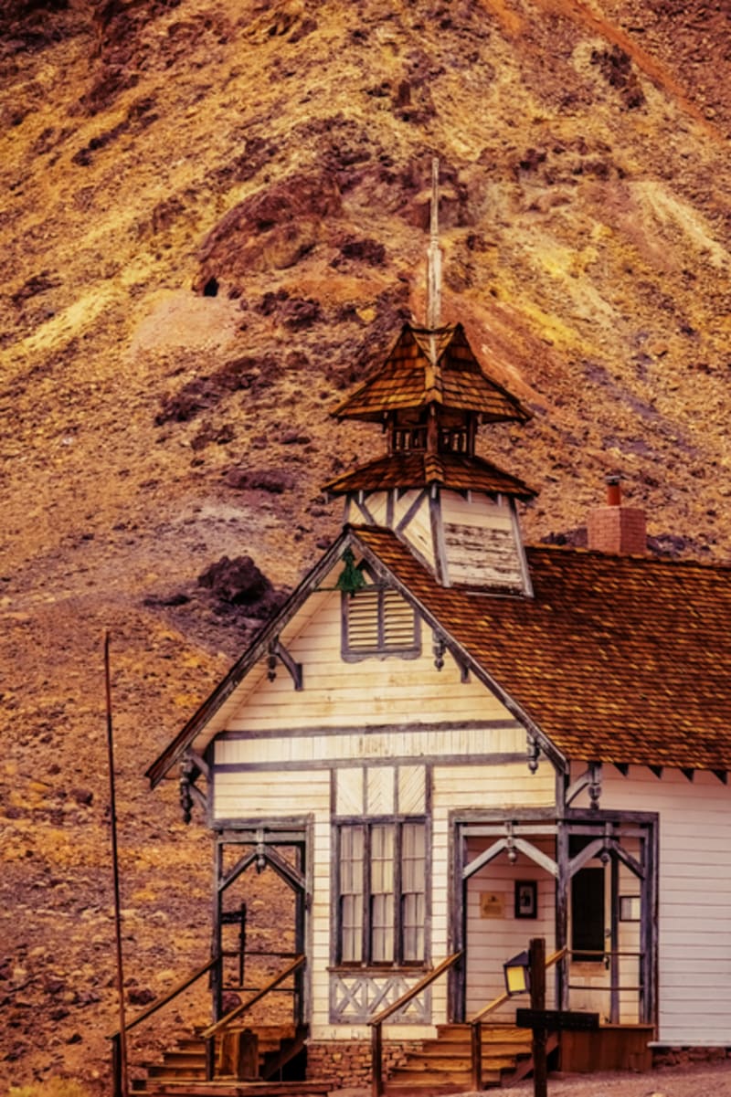 mexico
 El Arco
El Arco is a ghost town at the geographic center of the Baja peninsula, a gold-rush settlement the desert swallowed whole and never gave back. Stone walls, empty doorframes, a silence so complete it rings in your ears.
Explore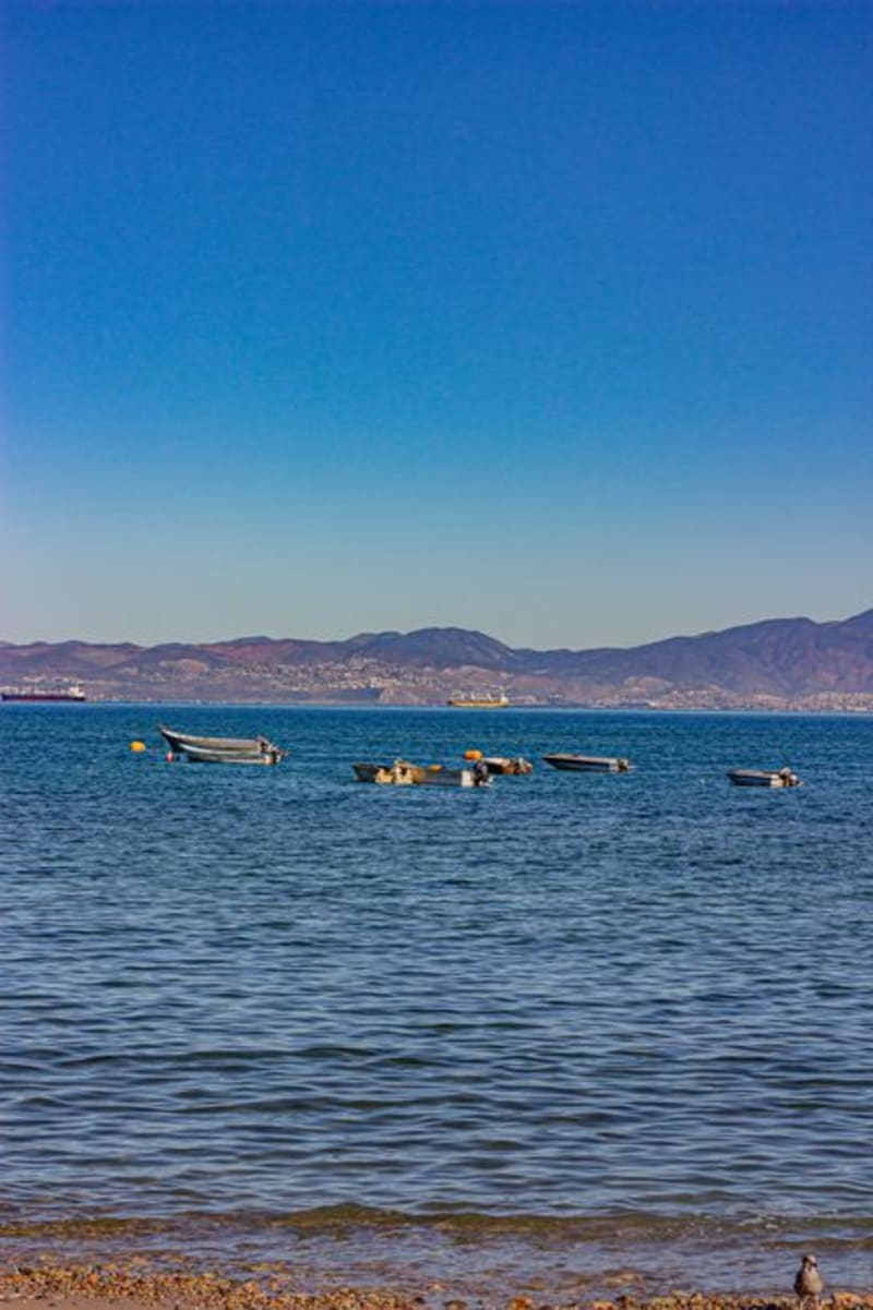 mexico
 Bahía de los Ángeles
A remote bay on the Sea of Cortez where whale sharks gather each summer and the silence is so complete you can hear the pelicans landing. The two-hour detour off the Transpeninsular Highway is not an inconvenience — it is the selection mechanism that keeps this place intact.
Explore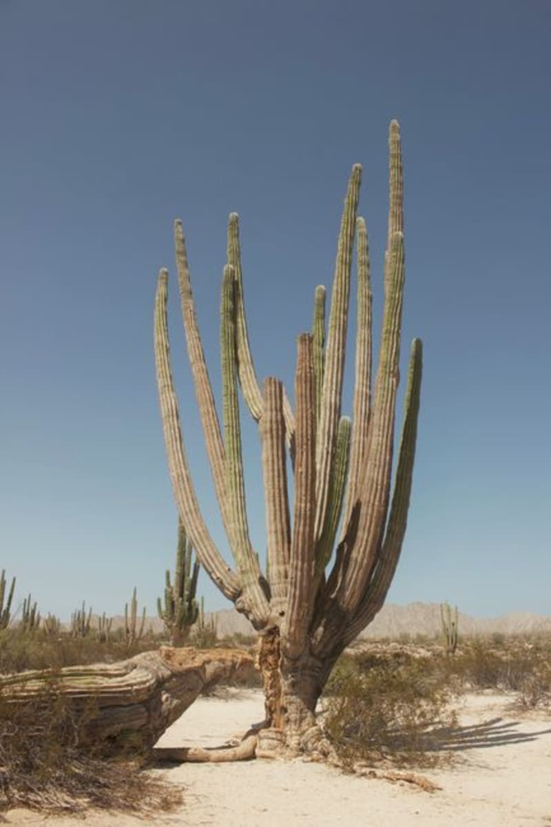 mexico
 Cataviña
A remote crossroads in the Valle de los Cirios, where boojum trees rise from ancient granite boulders like organisms from a different evolutionary timeline and prehistoric cave paintings survive on the canyon walls. It sits roughly halfway down the Baja peninsula, far enough from both coasts that most people who pass through do so by accident — which is, oddly, the best way to arrive.
Explore