Nyala
"Everyone in Nyala kept telling me the real destination was still three days west, up in Jebel Marra, and they were right."
Darfur's sprawling largest city and the practical jumping-off point for the cooler, greener Jebel Marra highlands rising to its west.

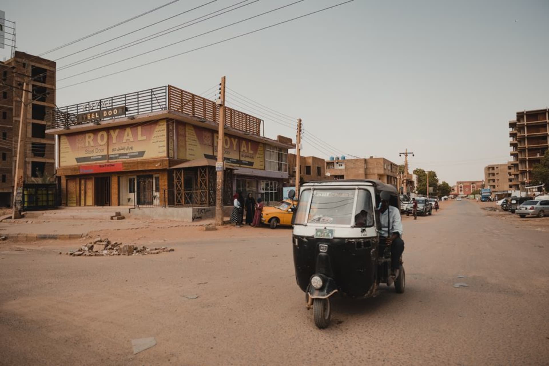
Nyala is not a city that asks to be admired for itself, and I say that with respect rather than dismissal. It’s a big, sprawling, dusty administrative and market hub, the largest city in Darfur, built around a livestock and produce trade that draws people from across the region — herders, farmers, traders moving goods between Chad, the Central African Republic, and the rest of Sudan. The main market, a maze of stalls under makeshift awnings, was where I spent most of my first day, drinking sweet tea from a stand run by a woman who refilled my glass twice without being asked and refused a tip both times, laughing at the suggestion. I bought nothing of consequence but talked to more strangers in that one afternoon than in most full weeks of travel.
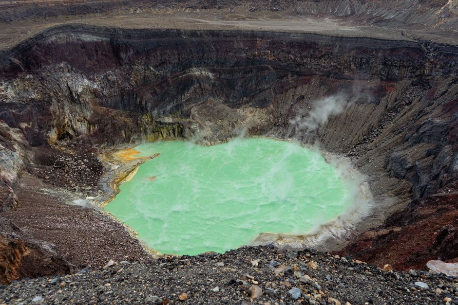
What everyone in Nyala wanted to talk to me about, though, wasn’t the city — it was Jebel Marra, the volcanic massif rising to the west, Darfur’s answer to a highland escape from the flat, punishing heat of the plains. I hired a driver and a local guide for the journey out, a slow climb over increasingly rough roads that eventually opened onto a landscape almost nobody pictures when they hear the word Darfur: terraced hillsides green with onions and fruit trees, cooler air that actually required a light jacket in the evening, and volcanic crater lakes with water so still they mirrored the hills perfectly. Deriba Crater, the twin lakes sitting inside the collapsed volcanic caldera at the massif’s highest point, is the single most extraordinary sight I found anywhere in Sudan, and almost nobody outside the region has heard of it.
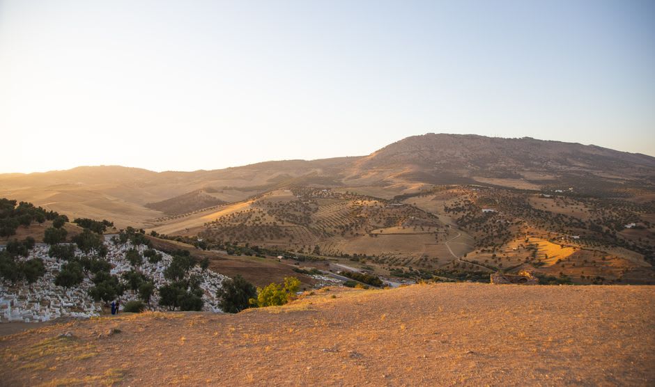
Getting up there wasn’t simple, and I won’t pretend otherwise — permits, checkpoints, a guide who knew exactly which roads were passable that week and which weren’t, and long stretches where we saw no other vehicles at all. But the payoff was a landscape that felt like a secret the rest of the world hadn’t caught up to: waterfalls tumbling through eucalyptus groves, villages growing apples and coffee at altitude, air that smelled of woodsmoke and wet earth instead of the dust I’d been breathing for weeks. I stayed two nights in a village guesthouse, ate a stew thick with lentils and dried meat by lamplight, and slept better than I had anywhere else on the trip.
Back in Nyala afterward, the city felt different — noisier, hotter, more insistent — but I understood it better having seen where it sat in the region’s geography, the flat trading hub at the foot of a highland refuge that almost nobody outside Darfur gets to see.
When to go: Aim for November through February, when temperatures on the plains are more bearable and the roads up to Jebel Marra are driest; always confirm current permit and security requirements locally before attempting the highland trip.
Keep exploring
More from Sudan
 sudan
sudan Omdurman
Khartoum's older, louder twin across the Nile, where the Mahdi's domed tomb watches over a camel market and a Friday ritual of whirling dervishes.
Explore sudan
sudan Port Sudan
Sudan's only real coastal city sits on the Red Sea with water so clear and coral so intact that divers rank it among the best-preserved reef systems in the world — and almost no one outside the diving community seems to know it exists.
Explore sudan
sudan Sennar
A quiet Blue Nile town that once ruled an empire, where the earthworks of the old Funj sultanate capital have all but returned to the riverbank soil.
Explore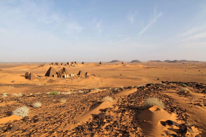 sudan
sudan Suakin
A ghost island-city on the Red Sea built entirely from coral, crumbling in the most beautiful way possible, where the Ottoman Empire's last great port is returning slowly to the sea it was made from.
Explore sudan
sudan Wadi Halfa
Sudan's northernmost town sits on the edge of Lake Nubia where the submerged streets of Old Wadi Halfa lie somewhere beneath the water, and the weekly ferry to Egypt is the reason most people pass through — and the reason some stay.
Explore sudan
sudan Atbara
Sudan's railway city at the junction of the Atbara River and the Nile has the particular intensity of working-class industrial towns — locomotive repair sheds, a river that runs dry half the year, and the most serious coffee ritual I've encountered anywhere.
Explore