Wadi Halfa
"The old town is under the lake. You can see why people felt the need to mark it somehow."
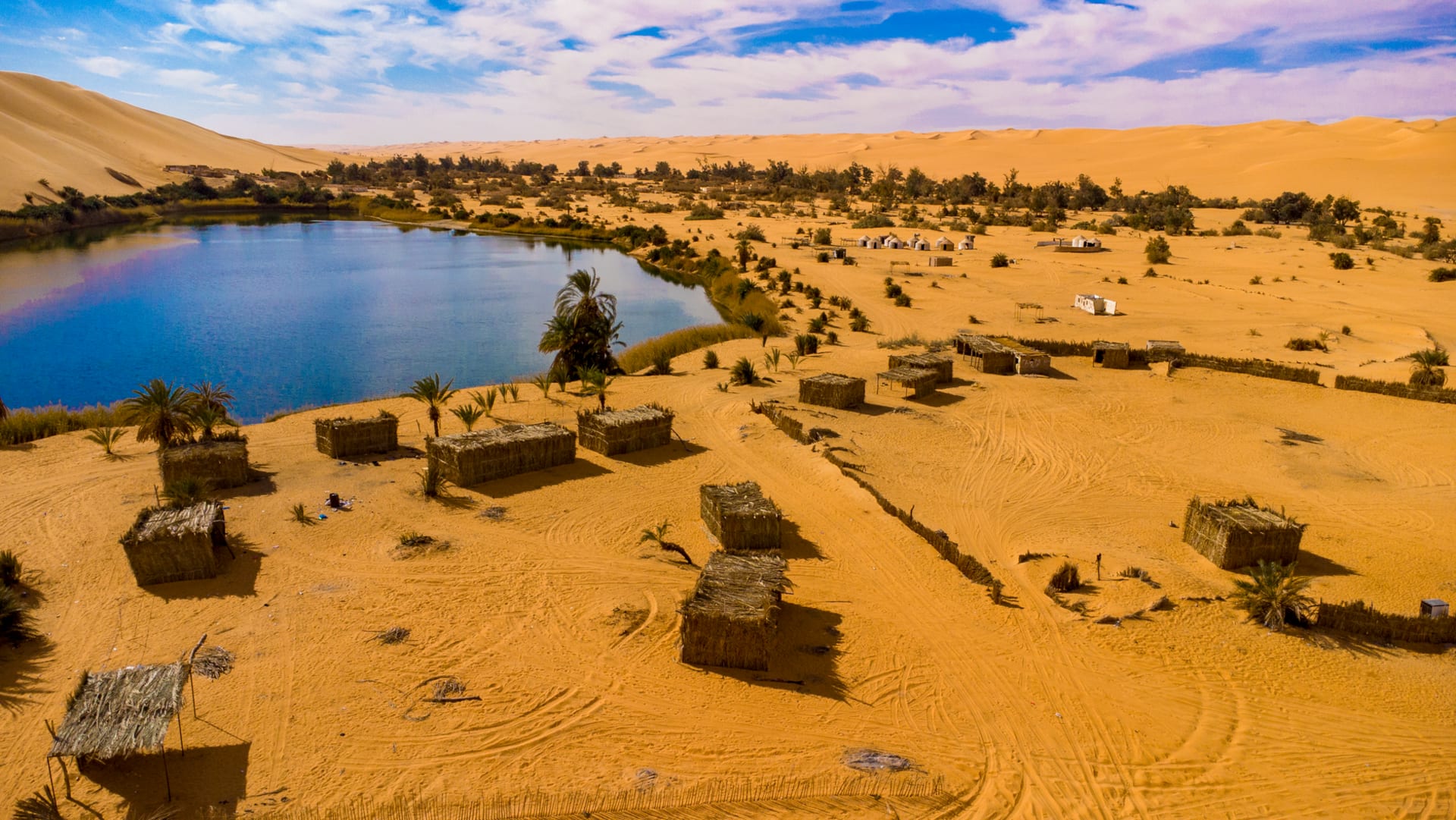
Sudan's northernmost town sits on the edge of Lake Nubia where the submerged streets of Old Wadi Halfa lie somewhere beneath the water, and the weekly ferry to Egypt is the reason most people pass through — and the reason some stay.

The End of the Road
Wadi Halfa sits at the top of Sudan, where the country narrows between the Egyptian border and Lake Nubia — the Sudanese portion of Lake Nasser, created by the Aswan High Dam and finished in 1971. The dam drowned the original Wadi Halfa town, along with a string of Nubian villages and their farmland and their ancient sites. The residents were relocated south. A new town was built above the waterline. The lake took everything else.
I arrived by train from Khartoum — a journey of roughly 24 hours on Sudan’s legendary railway, which operates on its own temporal logic, departing roughly when it departs and arriving when it arrives. The carriages are old and the track bed rough and the sky through the window is remarkable: flat desert transitioning to Nubian sandstone formations as you move north, the colors deepening from pale tan to a rich red-orange.
The Lake and What It Covers
Lake Nubia is enormous here — wide enough that the Egyptian side is not visible from the Sudanese shore. The water is flat and blue and slightly unreal in the context of the surrounding desert. I took a small boat out one afternoon with a local fisherman who knew roughly three words of French and none of English, and we communicated in the universal language of pointing. He showed me a spot in the middle of the lake where, when conditions allowed in very clear water, the outlines of submerged structures were sometimes visible below the surface. The conditions did not allow this on the day I visited. But standing in the boat on the flat water above the drowned town, knowing it was there, was strange enough.
The Nubian communities displaced by the dam have maintained a strong cultural memory of the places they lost. In the new Wadi Halfa, some older residents can still describe streets and buildings that no longer exist in any physical form.
The Weekly Ferry
The reason most visitors come to Wadi Halfa is the ferry to Aswan, which crosses Lake Nasser once a week — the sole passenger connection between Sudan and Egypt by water. The ferry day transforms the town: the market quickens, transport touts appear, the small guesthouses fill with people in various states of transit. The boat takes around 12–18 hours depending on conditions and cargo.
I didn’t take the ferry. I’d come from the south and was returning south. But I spent the day the ferry loaded watching the logistics of a weekly border crossing operate in real time — the negotiations over luggage weight, the bureaucracy of exit stamps, the particular exhaustion of people who’d been traveling for multiple days and had multiple days still ahead. There is a specific human texture to transit towns that you don’t find anywhere else.
The Town Itself
Wadi Halfa is honest about what it is: a frontier administrative town with minimal attractions beyond its location. But the location is everything. The light on the lake in the evening is extraordinary — the sky turns colors I don’t have proper names for, and the desert cliffs to the east go from orange to red to purple in the space of twenty minutes. I sat on a concrete riverbank and watched this happen and ate a bag of dates I’d bought in the market for almost nothing and felt entirely fine about being in a place most people only pass through.
When to go: November through March. Wadi Halfa in summer is genuine extreme desert heat — routinely above 45°C — and the lake offers no meaningful relief from the temperature. Winter months are warm by most standards but manageable: 25–35°C days, cool nights. The ferry schedule changes seasonally; verify it well in advance if you’re planning to cross to Egypt.
Keep exploring
More from Sudan
 sudan
sudan Atbara
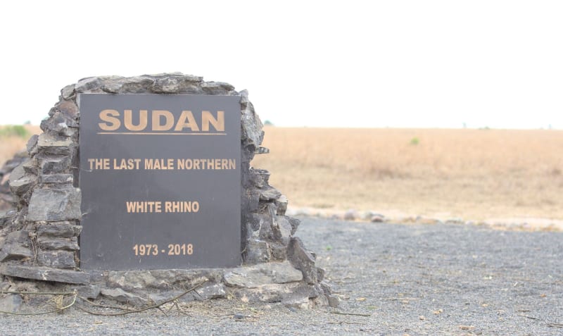
Sudan's railway city at the junction of the Atbara River and the Nile has the particular intensity of working-class industrial towns — locomotive repair sheds, a river that runs dry half the year, and the most serious coffee ritual I've encountered anywhere.
Explore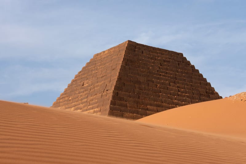 sudan
sudan Dongola
The capital of the Nubian heartland sits on a wide Nile bend where date palms crowd the riverbanks, the medieval ruins of Old Dongola recall a Christian kingdom that outlasted the Crusades, and daily life moves at the river's pace.
Explore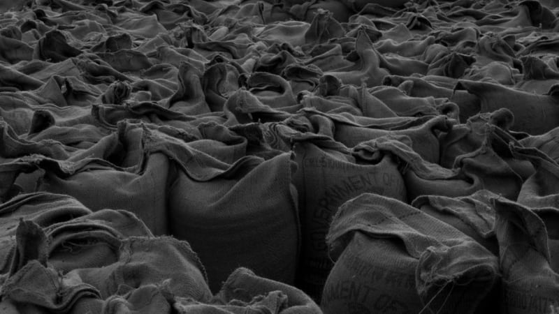 sudan
sudan El Obeid
A red-earth Kordofan trading city built on the gum arabic economy, where sacks of hardened acacia resin change hands by the tonne.
Explore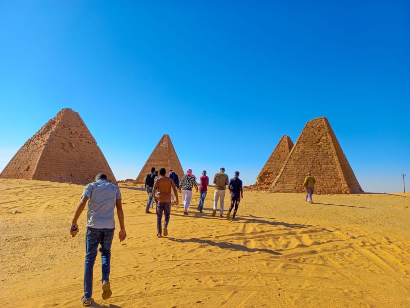 sudan
sudan Gebel Marra
A volcanic massif rising to 3,000 meters from the flat heart of Darfur, with crater lakes, waterfalls, and an ecosystem so different from the surrounding desert that arriving here feels like the landscape made a mistake in your favor.
Explore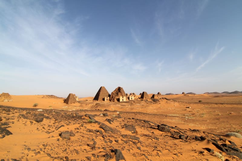 sudan
sudan Jebel Barkal
A flat-topped sacred mountain rising from the Nubian desert with a pinnacle the ancient Kushites read as a royal cobra, surrounded by temple ruins and pyramids that most of the world has still never heard of.
Explore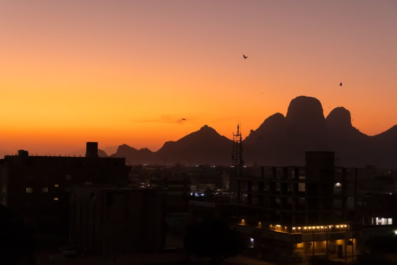 sudan
sudan Karima
A dusty Nile-side town crouched beneath the sacred mountain of Jebel Barkal, the quietest base imaginable for wandering among Nubia's pyramid fields.
Explore