Quintana Roo
"The Caribbean has the best color water in the Western Hemisphere. Quintana Roo has 400 kilometers of it, from the cenote pools in the interior to the reef drop-off 800 meters offshore."
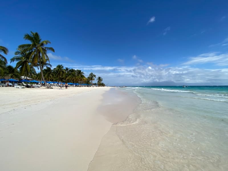
Quintana Roo is Mexico’s youngest state (created in 1974 as a territory and elevated to full statehood in 1974) and its fastest-growing, transformed from uninhabited jungle coast to a 16 million-visitor per year tourism economy in 50 years. The transformation has been most dramatic in the north — the Riviera Maya corridor from Cancún to Tulum is one of the most intensively developed tourist zones in Latin America — but the coast extends 440 kilometers south to the Belize border, and the southern section remains largely untouched.
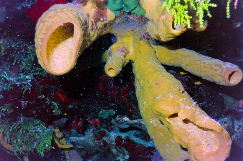
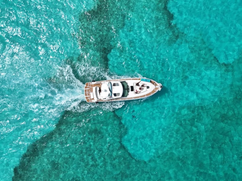
The Mesoamerican Barrier Reef — the second longest in the world at 1,000 kilometers, running from the tip of the Yucatán to the Bay Islands of Honduras — defines the character of the coast. The reef sits 800 meters to 2 kilometers offshore, creating a protected lagoon of turquoise water that is calmer and clearer than the open Caribbean beyond the reef crest. The cenote network beneath the limestone peninsula feeds fresh water into the sea through underwater caves, creating the specific clarity that characterizes Quintana Roo’s diving.
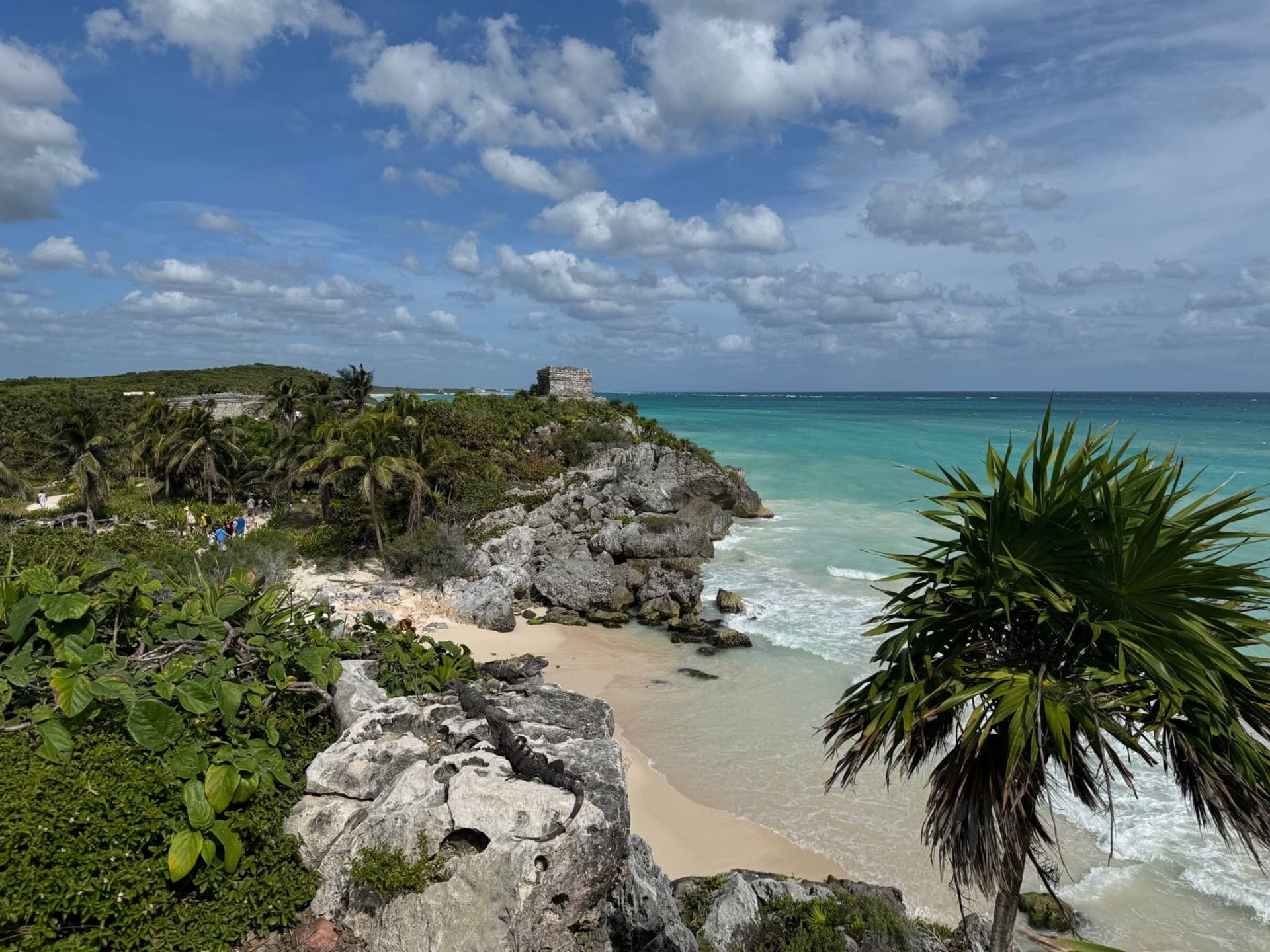
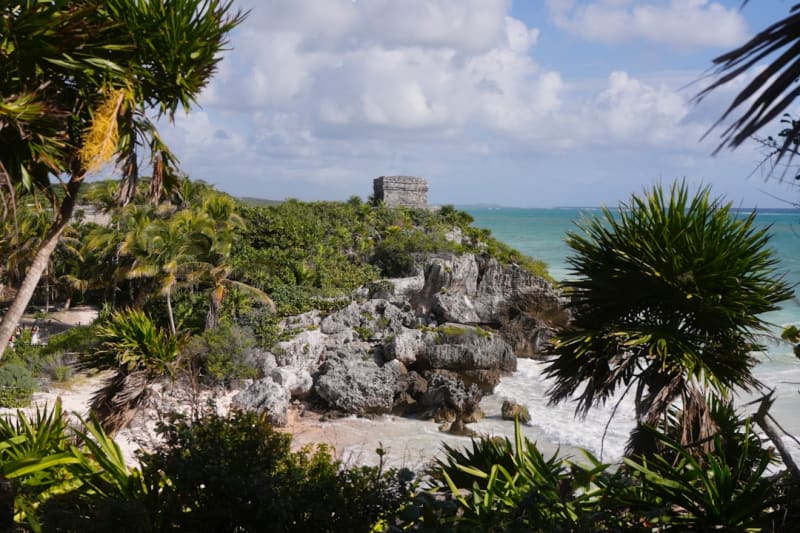
The Maya occupied this coast — Tulum (the only Maya city built on a sea cliff) and the ruins visible throughout the jungle are evidence of a civilization that used the Caribbean trade routes for centuries before the Spanish closed them. The cenotes were ritual sites before they became dive destinations.
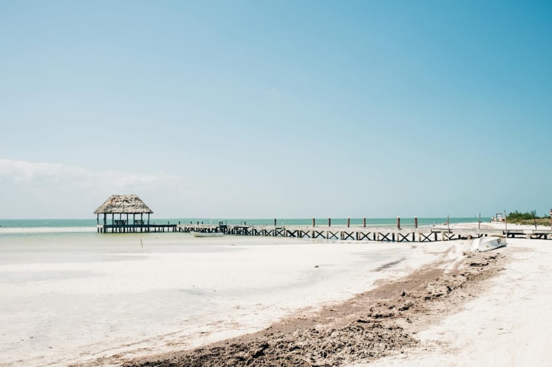
The spectrum from north to south: Cancún (international airport, hotel zone, 24-hour economy), Holbox (no cars, flamingos, whale sharks), Tulum (eco-resort aesthetic, ruins, cenote clusters), Bacalar (seven-color lagoon, slow pace), Mahahual (cruise ships, Costa Maya), Xcalak (60km of unpaved road, 350 people, the reef 20 meters from the beach). The same Caribbean coast, 400 kilometers of choices.
Explore
Places in Quintana Roo
Bacalar
The Lagoon of Seven Colours — a freshwater lake in southern Quintana Roo that makes the Caribbean look ordinary.
Cobá
A Yucatán Maya city in the jungle where the main pyramid still allows the climb — 42 meters above the forest canopy, the highest point between the Caribbean coast and the Gulf of Mexico — and where the ancient sacbé road network connecting the Maya lowlands is still visible in the forest.
Cozumel
The Caribbean island that lives underwater — the second-largest coral reef system in the world runs its entire western coast, with walls dropping 30 meters in visibility so clear you can see the reef from the surface.
Holbox Island
No cars, no crowds — just sand streets, bioluminescent waters, and whale sharks passing offshore.
Isla Mujeres
The Caribbean island that Cancún was before it became Cancún — a strip of white coral sand and turquoise water, small enough to bike in an afternoon, still slow enough to stay a week.

Tulum
Mayan ruins perched above turquoise Caribbean waters, and a jungle of cenotes beneath your feet.
Xcalak
The last village on the Quintana Roo coast before Belize, 60 kilometers of unpaved road from the nearest town, a living coral reef starting 20 meters from the beach, and a population of 350 people who chose to be here when they could have been anywhere else.