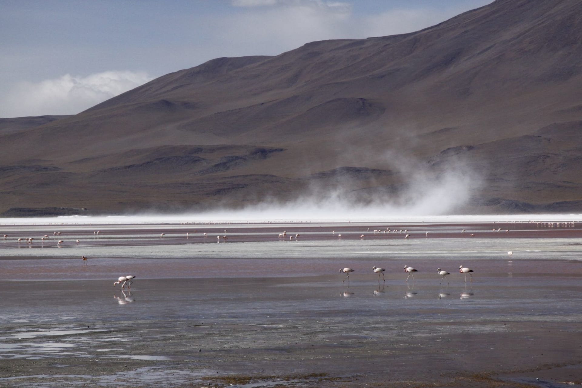
Laguna Hanson
"The road got bad, then better, then bad again — and then I was in a pine forest at 1,800 meters and there was no one else for kilometers in any direction."
Laguna Hanson is a high-altitude lake in the Sierra Juárez mountains of northern Baja California, reached by a rough road that climbs from coastal desert into pine-oak forest at 1,800 meters — a complete ecosystem change in under an hour of driving. The lake sits among granite boulders and Jeffrey pine, shallow and seasonal, and the night sky above it is the darkest I've encountered in Baja. I drove up from Ensenada, camped alone, and woke to cold mist on the water.

The approach to Laguna Hanson is the experience as much as the destination. You leave the coastal highway somewhere between Ensenada and Mexicali, turn east on a paved road that becomes unpaved quickly, and begin climbing through chaparral — the dense, aromatic scrub of the northern Baja hills, dry and silvery and smelling of sage and something resinous I’ve never been able to identify specifically. The road deteriorates and improves and deteriorates again. This is normal. After 45 minutes or so of this, the chaparral gives way to manzanita and then to oak, and then, without quite announcing itself, to pine.
The ecosystem shift is abrupt in the way that altitude shifts always are when you drive rather than hike — compressed, almost theatrical. Below 1,200 meters the hills are coastal Baja California. Above 1,600 meters you could be in the Sierra Nevada of California, or in certain parts of the French Massif Central that I associate with family camping trips from childhood. The same granitic geology. The same yellow-barked Jeffrey pine. The same cold quality in the air that appears when you leave the maritime climate entirely.
The Lake and the Granite
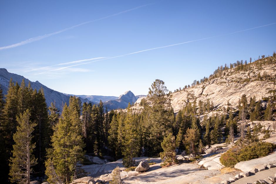
Laguna Hanson is shallow — in dry years it can nearly disappear, and even in wet years it is not a deep or dramatic body of water. What it has is setting. The lake sits in a granite basin in the Parque Nacional Constitución de 1857, surrounded by boulders that have been deposited and rearranged over geological time into formations that reward scrambling. The Jeffreys grow up through the boulder fields and the combination of orange stone and dark green pine over still water is the kind of thing that landscape painters used to travel long distances to find.
I arrived on a Saturday afternoon. There was one other car at the informal camping area on the lake’s south shore. By late afternoon it was gone.
I set up my tent between two boulders that blocked the wind from the west and walked the lake perimeter before the light went. It took about 45 minutes at an unambitious pace — stopping to look at the water, at the boulders, at a solitary heron standing in the shallows with the specific patience of a bird that has worked out that stillness is more productive than movement. The bouldering on the granite around the lake is good; the rock has the rough texture of something that hasn’t been polished by regular climbing traffic.
The Night Sky
This is the reason to stay overnight rather than day-tripping from Ensenada, and it is not a minor reason.
The Sierra Juárez has no significant towns within 50 kilometers. The highway through Mexicali and the Ensenada coast are far enough away and low enough in altitude that their light pollution doesn’t reach here with any force. What you get is the sky that existed before electricity, more or less — the Milky Way as a structural element of the night rather than a faint smear, individual stars resolved at the horizon, the sense of depth overhead that urban life removes completely.
I ate something simple from my camp supplies — a can of beans, bread, cheese I had bought in Ensenada that morning — and then lay on top of my sleeping bag on the flat granite above the tent and watched the sky for an hour. I was completely alone. This felt like something I needed more often.
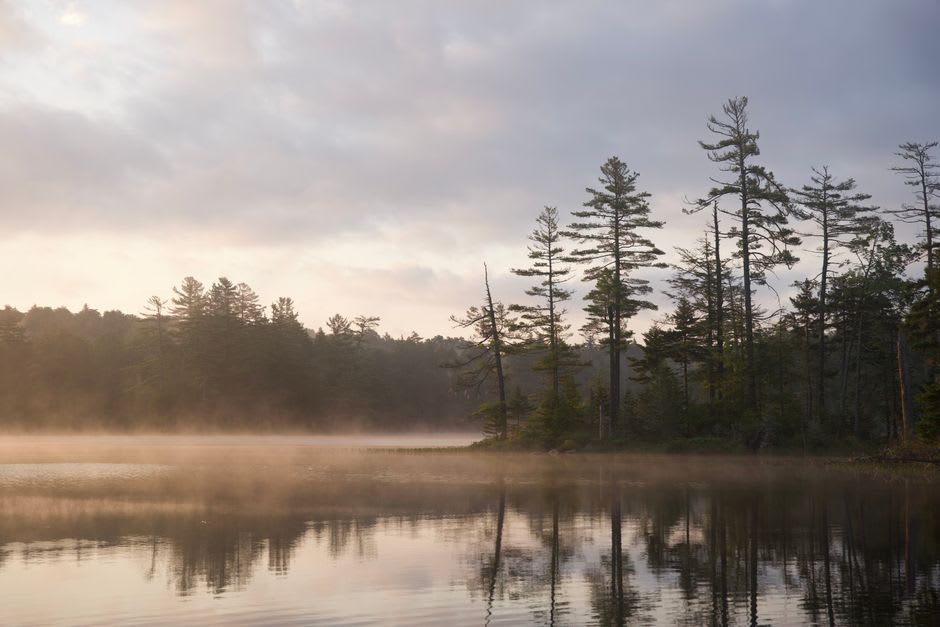
The temperature dropped to around 7°C by midnight. I went into the tent. I slept without interruption until the cold of pre-dawn woke me, and when I unzipped the tent door there was mist on the water and the boulders were wet with condensation and the lake was completely still. I sat outside wrapped in my sleeping bag and drank instant coffee from a thermos and watched the mist burn off. No one arrived. No one was coming.
Getting There
The trailhead access road branches off Mexico Highway 3 between Ensenada and Mexicali — look for the turnoff toward Parque Nacional Constitución de 1857. The road is unpaved for the final stretch and requires clearance; it is manageable in a regular car if you go slowly and accept the possibility of getting dusty. There are basic camping areas at the lake with no facilities — bring everything you need. The park charges a small entrance fee. Go between April and October for the most reliable road conditions; winters can bring snow at this altitude. Bring layers regardless of season.
Keep exploring
More of Baja California
Keep exploring
More from Baja California
 mexico
 La Rumorosa
A mountain pass in the Sierra Juárez where geology has arranged granite boulders the size of apartment buildings into formations that look staged. At 1,200 metres the wind never stops and most of the million people who drive through each year don't get out of their cars.
Explore mexico
 Ensenada
Ensenada is a Pacific port city ninety minutes south of Tijuana where the morning fog sits low over the harbor until ten, the fish market opens before dawn, and the road east leads into wine country that no one outside of Mexico seems to know exists. I went for the Valle de Guadalupe and ended up staying for the tostadas de mariscos eaten standing up at eight in the morning, watching pelicans work the water.
Explore mexico
 Mexicali
Mexicali is the capital of Baja California, a desert border city pressed against Calexico, California, remarkable for one thing that makes no geographic sense: the best Chinese food in Mexico, concentrated in the Chinesca district and rooted in the 20th-century Chinese labor migration to the Colorado River delta. The heat in summer is serious enough to require planning. I went for the food and ate at a restaurant that has been open since 1960 from a laminated menu that had not been updated since roughly that date.
Explore mexico
 La Bufadora
A marine blowhole twenty kilometres south of Ensenada that erupts every few minutes with a force you feel in your sternum — surrounded, unexpectedly, by some of the better street food on the Baja peninsula.
Explore mexico
 Tecate
Tecate is the quietest border crossing on the Baja California frontier, a small city that the international boundary bisects without seeming to particularly upset — the plaza runs its own rhythms, the bakery sells Pan de Tecate in the mornings, and the Tecate Brewery, which has been producing beer here since 1944, perfumes the air above the main square with a faint note of hops that you either find comforting or unsettling depending on your position on industrial beer. I crossed from the California side expecting a border town and found something much more ordinary and much more interesting.
Explore mexico
 Rosarito
Rosarito sits on the Pacific coast of Baja California, thirty minutes south of Tijuana, where a long cold beach and a quietly serious food scene exist entirely on their own terms. The city was briefly famous for a Hollywood production in the 1990s and has since returned to being itself: a working coastal town with good fish tacos, consistent surf, and a malecón that looks best at dusk.
Explore