
Asia
Meghalaya
"I arrived in rain and left understanding why they call it the abode of clouds."
The land where clouds live at ground level, rivers disappear into caves, and forests grow bridges out of living roots.

I flew into Shillong on a small prop plane that bounced through low cloud the entire descent, and by the time we landed I couldn’t tell where the sky ended and the hills began. That turned out to be a precise introduction to Meghalaya. This small state in India’s northeast — wedged between Assam and Bangladesh — is one of the wettest places on earth, and it wears that fact with total confidence. Cherrapunji and Mawsynram, two villages separated by a ridge, take turns holding the world record for annual rainfall. Everything here grows with a furious, dripping urgency.
The living root bridges of the Khasi Hills stopped me cold the first time I crossed one. They are not metaphors. The Khasi people have been training the aerial roots of rubber fig trees across rivers for generations — centuries in some cases — guiding roots through hollowed betel nut trunks until they grip the opposite bank, thicken, intertwine, and hold. The double-decker bridge near Nongriat village takes ninety minutes to reach on foot down more than three thousand steps, and it is worth every one of them. I ate cucumber slices with chili from a woman selling snacks at the bottom, feet dangling over the river, watching the roots flex slightly under the weight of other hikers. Living infrastructure. The bridge breathes.
Meghalaya’s food is nothing like what most people imagine Indian food to be. The Khasi kitchen runs on smoked pork, black sesame, bamboo shoots fermented until they smell aggressively of earth, and jadoh — a red rice cooked with pork and turmeric that tastes deeply of iron and smoke. In Shillong’s Police Bazaar, I ate standing up, from a tray, with women who looked at me with mild curiosity and then returned to their own business. The market operates on a matrilineal society’s quiet confidence. Property and clan names pass through women here; it shows in how public space is occupied.
When to go: October to April for the clearest skies and dry-enough trails, though “dry” is relative — bring waterproof everything. The famous root bridges require muddy descents even in winter. June to September is monsoon season proper: extraordinary to witness, genuinely difficult to navigate. Waterfalls turn violent, trails flood, and Cherrapunji receives most of its annual rainfall in these months. I went in November and found it perfect.
What most guides get wrong: They treat Meghalaya as a day trip from Guwahati or a quick add-on to a northeast India circuit. It isn’t. The root bridges alone require an overnight in Nongriat or Tyrna — there is no ethical way to do the descent, spend any real time at the bridge, and climb back up before dark. Budget at least five days for the state. And skip Cherrapunji as a base; Nongriat village itself, where you can sleep in a guesthouse twenty minutes from the double-decker bridge, is where the place actually reveals itself.
Explore
Places in Meghalaya
 meghalaya
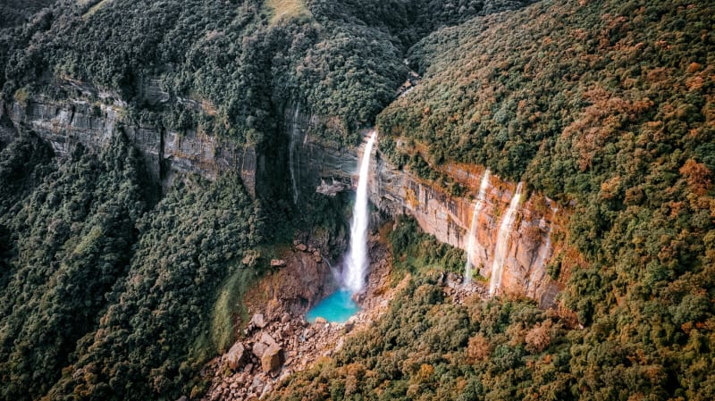
 Cherrapunji
The world's wettest place, where waterfalls outnumber roads and Bangladesh appears below the clouds like a rumour.
Explore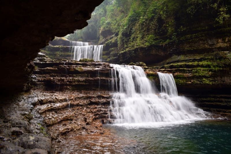 meghalaya
 Dainthlen Falls
A wide waterfall near Cherrapunji wrapped in a Khasi legend about a giant serpent slain by local villagers.
Explore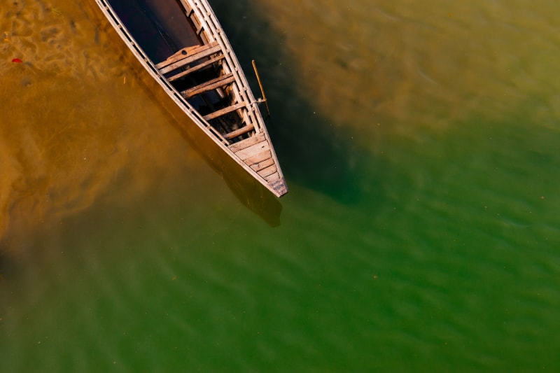 meghalaya
 Dawki
A border river so clear that boats appear to float in mid-air above a stone bed you can count pebbles on from twenty metres up.
Explore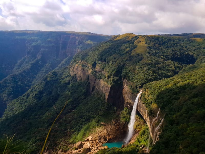 meghalaya
 Garo Hills
Meghalaya's western third, where the Garo people, sacred elephant forests, and the ancestor of all citrus fruit occupy the same remote plateau.
Explore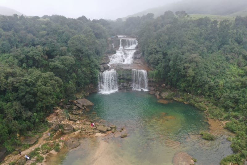 meghalaya
 Jaintia Hills
Meghalaya's eastern district, where coal mines scar the plateau and sacred groves hide older forest that the rest of the hills have already lost.
Explore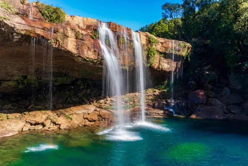 meghalaya
 Krang Suri Falls
A turquoise waterfall tumbling into a swimming pool near Jowai, in the Jaintia Hills of eastern Meghalaya.
Explore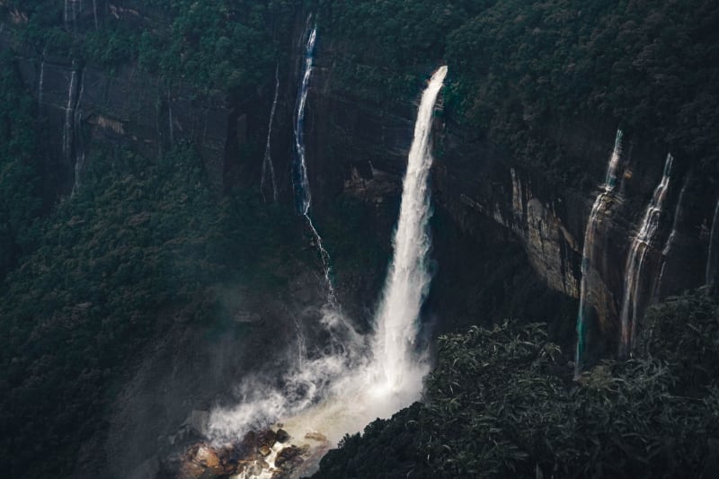 meghalaya
 Laitlum Canyon
A canyon at the end of the Khasi Hills where the plateau drops into cloud-filled valleys and silence takes on a physical quality.
Explore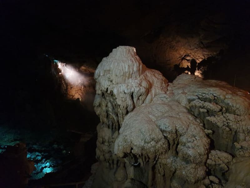 meghalaya
 Mawjymbuin Cave
A limestone cave near Mawsynram where a natural stalagmite has long been worshipped as a Shivling.
Explore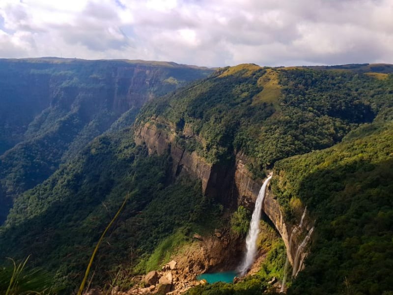 meghalaya
 Mawkdok Dympep Valley
A sheer, mist-filled canyon along the Shillong-Cherrapunji road, locally nicknamed the Grand Canyon of Meghalaya.
Explore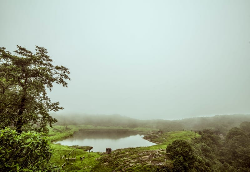 meghalaya
 Mawlynnong
Asia's supposedly cleanest village, a community where bamboo brooms and collective pride have turned tidiness into identity.
Explore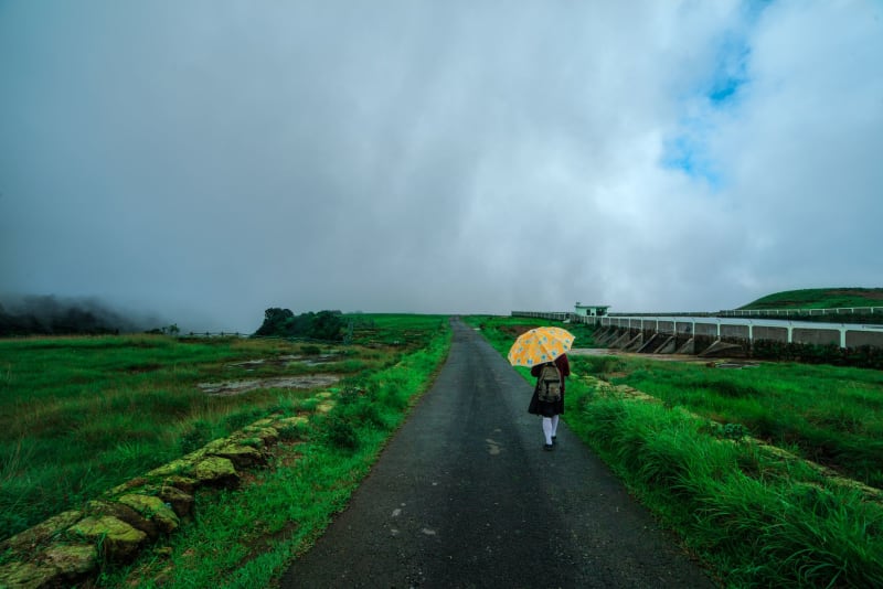 meghalaya
 Mawphlang Sacred Forest
A Khasi sacred grove where you may take nothing, not a leaf nor a stone, and where the moss-buried monoliths feel older than any argument you could make against believing in them.
Explore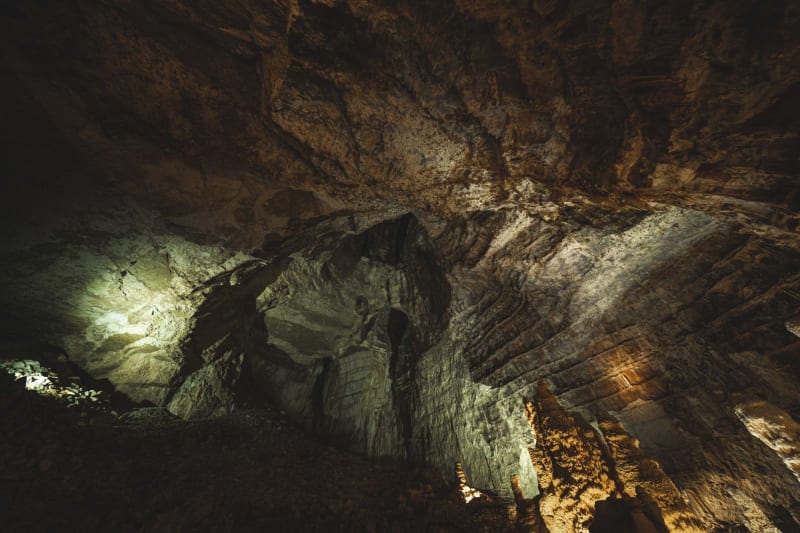 meghalaya
 Mawsmai Caves
A limestone cathedral underground near Cherrapunji, where mineral-stained passages narrow until the mountain breathes on your shoulders.
Explore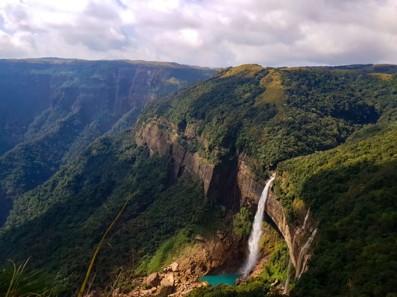 meghalaya
 Nohkalikai Falls
India's tallest plunge waterfall drops 340 metres into a pool of impossible green, carrying a Khasi legend dark enough to match its power.
Explore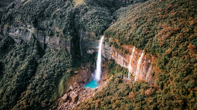 meghalaya
 Nongriat
A jungle village at the bottom of three thousand steps where living bridges grow slowly and the river is cold enough to stop your breath.
Explore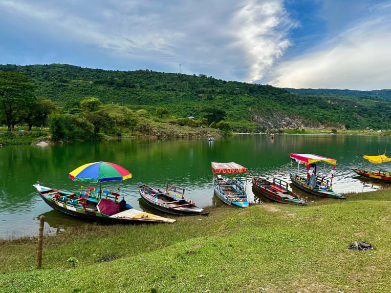 meghalaya
 Shillong
A hill capital where Indian bureaucracy, Khasi matriarchy, and an obsession with rock music coexist in permanent damp.
Explore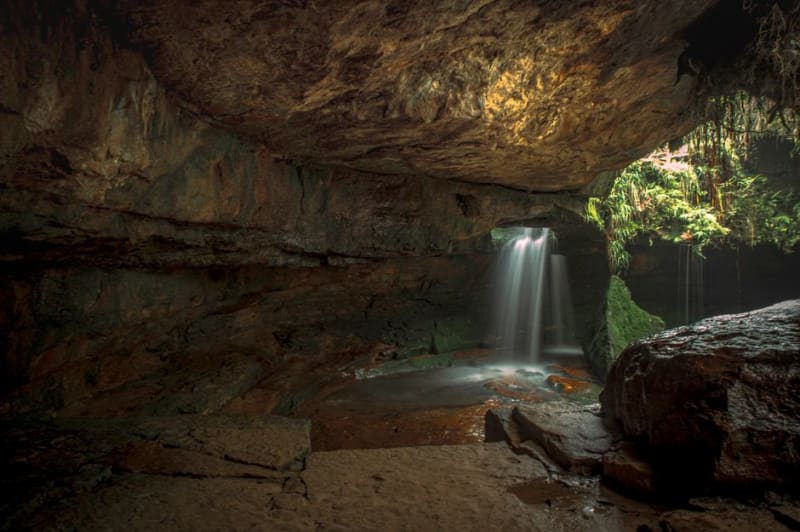 meghalaya
 Siju Caves
A sprawling limestone cave system in the Garo Hills, famous for its bat colonies and river-carved passages.
Explore