
Cherrapunji
"I stood at the edge and watched the water fall so far it became mist before it hit anything."
The world's wettest place, where waterfalls outnumber roads and Bangladesh appears below the clouds like a rumour.

They say Cherrapunji and the neighboring ridge village of Mawsynram trade the world rainfall record back and forth like a trophy neither particularly wants, and standing at the edge of the Sohra plateau in November — the dry season — I believed it. The soil at the cliff edge was dark and heavy with permanent saturation. The grass grew in that deep, almost bruised green that only comes from relentless water. The air tasted of stone and eucalyptus and something mineral I couldn’t name. And below the escarpment, the Bengali plains spread out to the horizon in flat agricultural patchwork — Bangladesh, close enough that on clear days you can see the glint of rivers.
The proper name is Sohra, and the Khasi people I spoke with used that name exclusively. Cherrapunji is what the British called it, the version that stuck in rainfall records and geography textbooks. The town itself is a loose cluster of painted concrete buildings strung along a ridgeline road, nothing architecturally remarkable, the kind of place whose glory is entirely meteorological and geological. What it has is the cliffs. At every turn, the plateau drops away into valleys so deep and green they look painted.
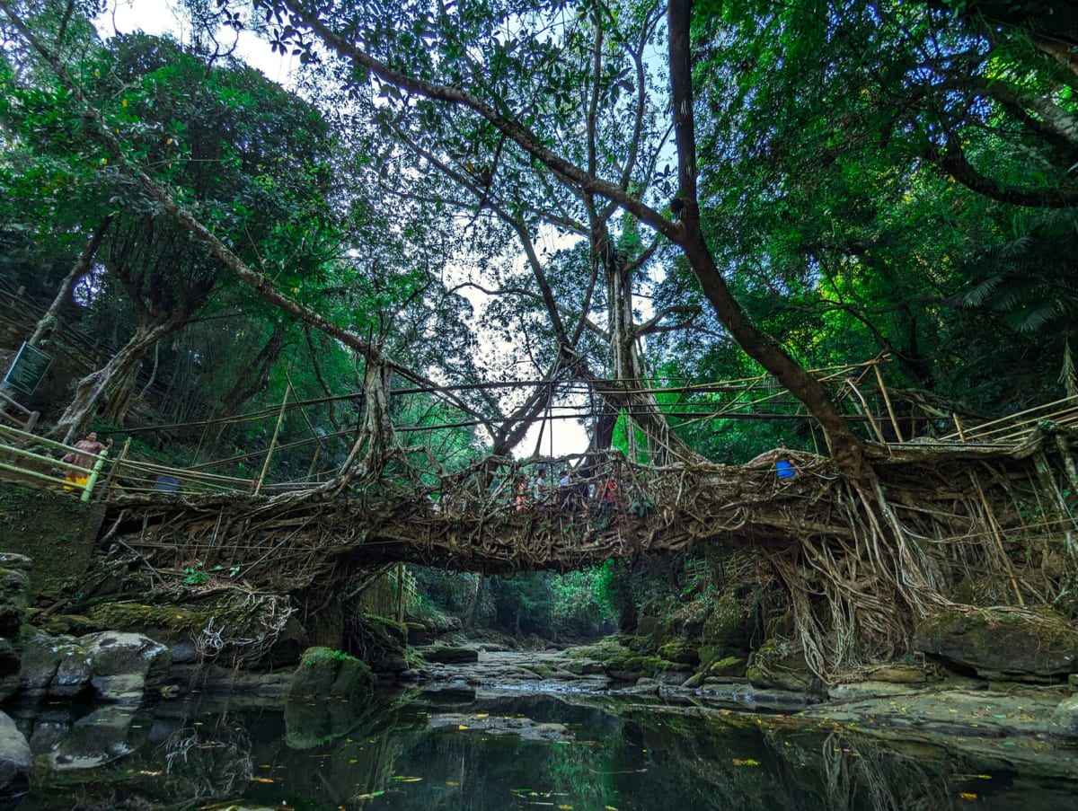
The Nohsngithiang Falls — called Seven Sisters on the tourist maps — are a two-kilometre walk from the main road, and during the monsoon they run as seven distinct columns of water plunging six hundred metres into the valley. In November I caught three of the channels running in any volume, the others reduced to damp streaks down the cliff face, but even at two-thirds capacity the sight was overwhelming. I sat on a rock at the viewpoint for a long time with no intention of moving. A pair of Khasi schoolgirls came up behind me, took a selfie, and left. I stayed another hour. The falls made no sound from that distance — they were too far below for the sound to carry — and that visual-without-audio quality made them feel almost hallucinatory.
The caves around Cherrapunji are a separate category of strange. Mawsmai Cave, a few kilometres east, is the most visited — a short walk through cathedral limestone formations, the stone stained orange and black with mineral seep, passages narrowing until you turn sideways. But there are longer cave systems in the region that require guides and headlamps and a willingness to wade through underground rivers. Krem Liat Prah, an hour’s drive away, is one of the longest cave systems in Asia — mostly unexplored, according to the young man at the guesthouse who told me this with the casual pride of someone describing their own backyard.
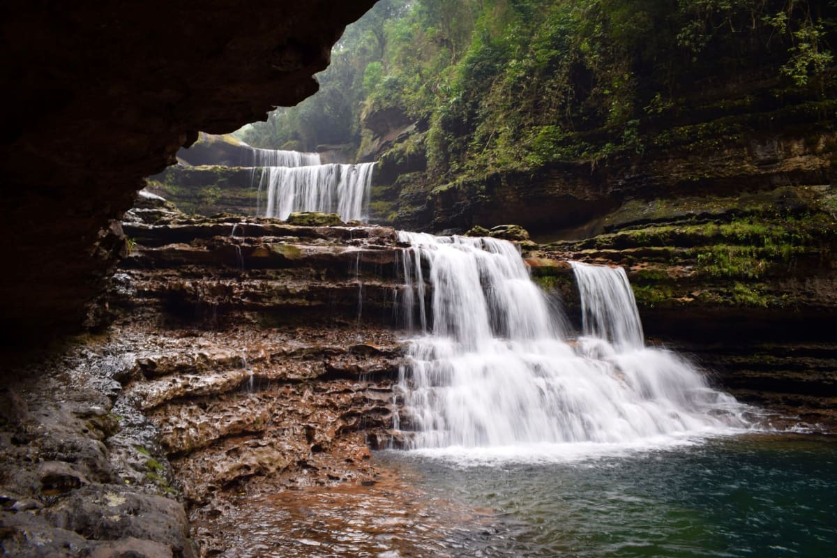
I stayed two nights at a family guesthouse on the ridge and ate both dinners with the family — jadoh in iron bowls, smoked pork that had been cured until it was dense and almost black, and a bamboo shoot preparation that smelled like a forest floor after rain and tasted fiercely, unapologetically of itself. The grandmother spoke no English and watched me eat with careful, measuring attention. When I finished the bamboo shoots she filled my bowl again without asking. I understood this to be the highest possible compliment.
When to go: June through September is when Cherrapunji earns its records — the waterfalls run at maximum volume, all seven channels of the Sisters thunder into the valley, and the plateau turns into a cloud forest. Traveling in monsoon requires good waterproofs and acceptance of mud. October through April offers clear skies and navigable trails but reduced waterfall drama. I’d honestly recommend October — the falls still run strong and the clouds begin to clear.
Keep exploring
More from Meghalaya
 meghalaya
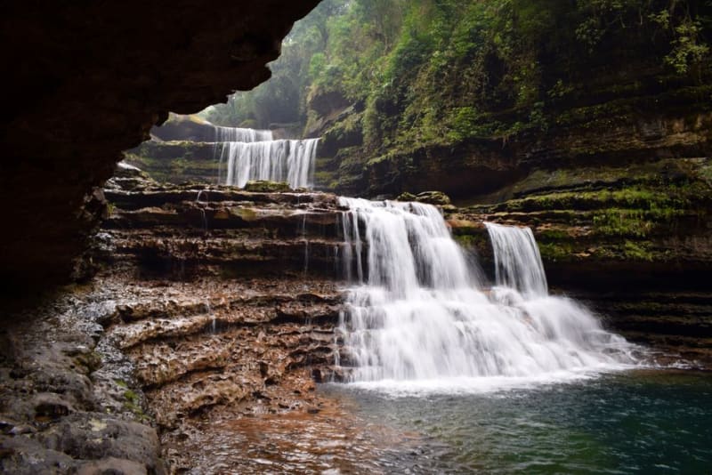
Dainthlen Falls
A wide waterfall near Cherrapunji wrapped in a Khasi legend about a giant serpent slain by local villagers.
Explore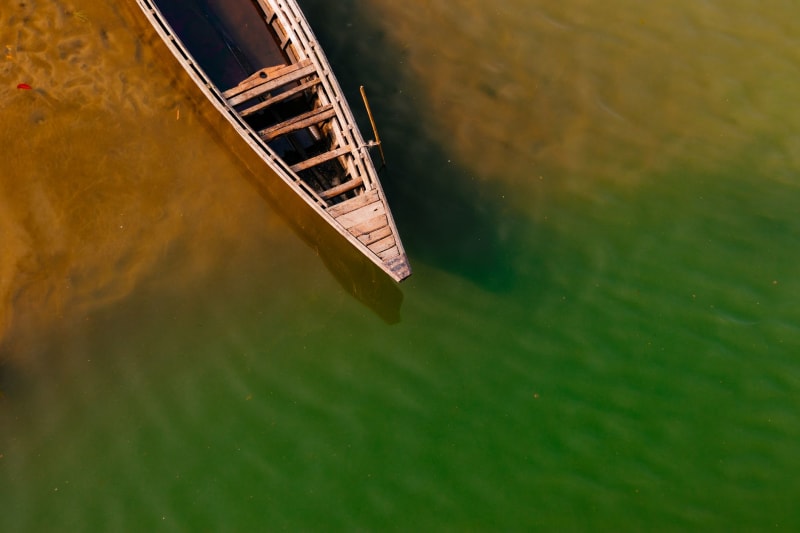 meghalaya
Dawki
A border river so clear that boats appear to float in mid-air above a stone bed you can count pebbles on from twenty metres up.
Explore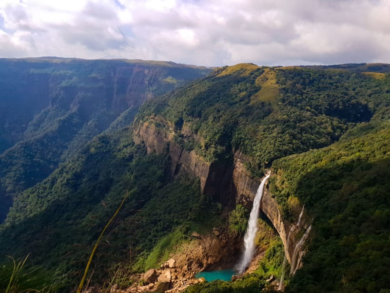 meghalaya
Garo Hills
Meghalaya's western third, where the Garo people, sacred elephant forests, and the ancestor of all citrus fruit occupy the same remote plateau.
Explore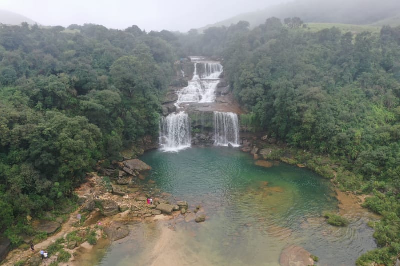 meghalaya
Jaintia Hills
Meghalaya's eastern district, where coal mines scar the plateau and sacred groves hide older forest that the rest of the hills have already lost.
Explore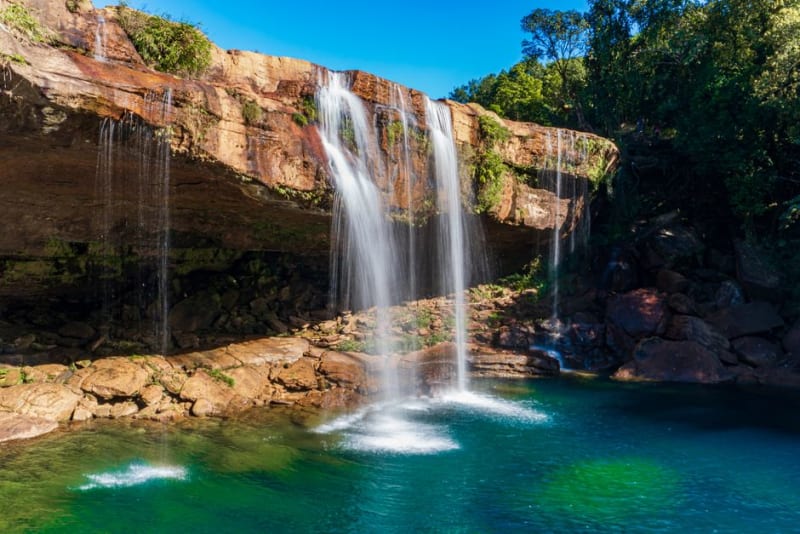 meghalaya
Krang Suri Falls
A turquoise waterfall tumbling into a swimming pool near Jowai, in the Jaintia Hills of eastern Meghalaya.
Explore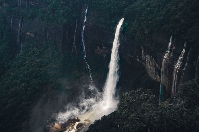 meghalaya
Laitlum Canyon
A canyon at the end of the Khasi Hills where the plateau drops into cloud-filled valleys and silence takes on a physical quality.
Explore