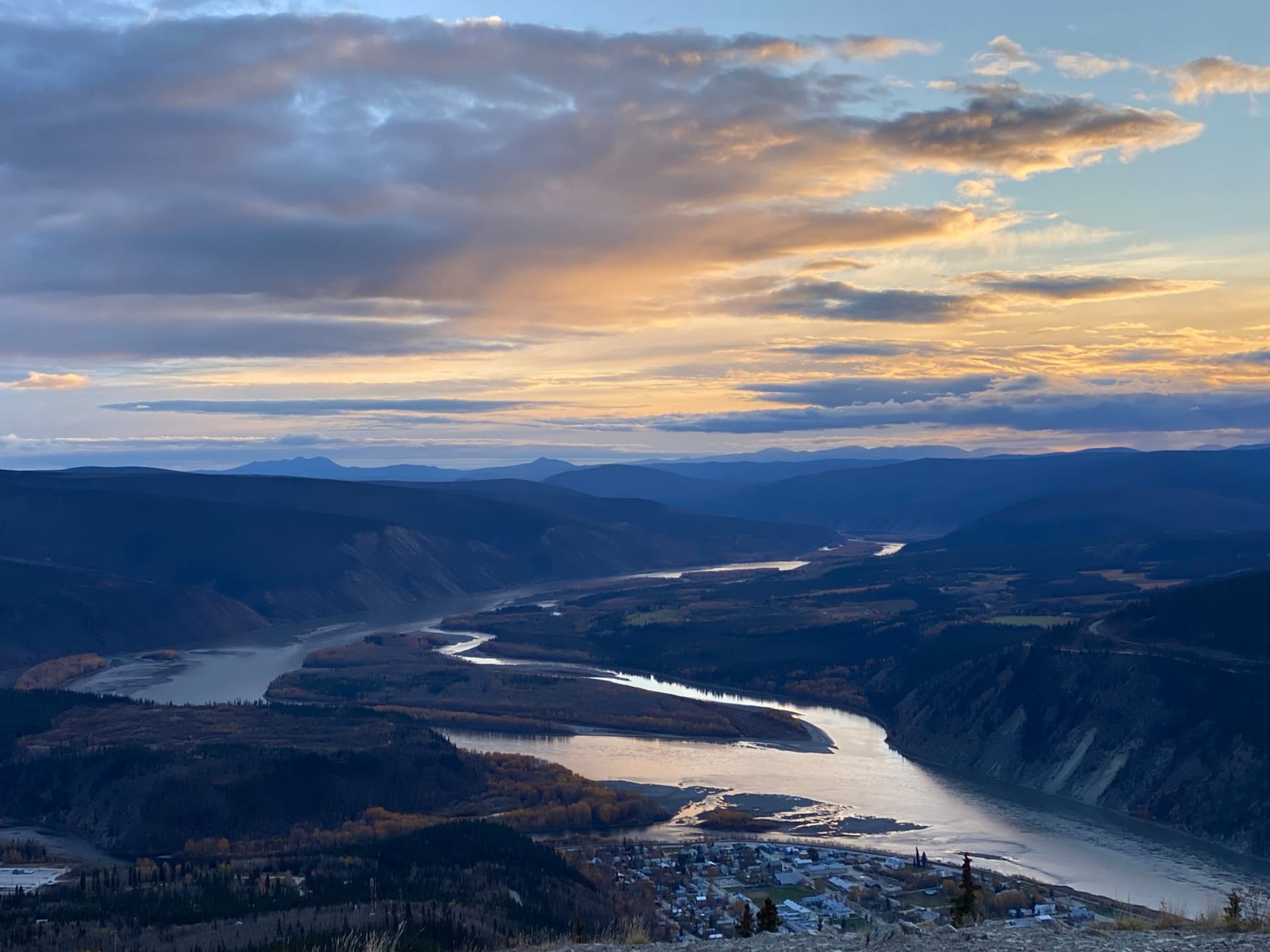
A forgotten mining corridor east of Dawson where silver rush ghosts and First Nations history share the same river valleys, and hardly anyone comes.

Highway 11 leaves the Klondike Highway near Stewart Crossing and heads east into the valley of the Stewart River. This is the Silver Trail — 110 kilometers of paved and gravel road that connects three small communities: Mayo, Elsa, and Keno City. You are unlikely to encounter more than a handful of other tourists. The towns are tiny and the wilderness is vast and the whole route has the quality of a place that decided not to compete with the Klondike’s drama and ended up being more interesting for it.
I drove it in September when the birch trees had gone full gold and the hills above the Stewart River looked like someone had laid fire on them. The river is wide and dark and runs with the same quiet force as every river up here — like it has somewhere important to be and is taking its time getting there.
Mayo
Mayo has about 500 residents and functions as the service center for the region — fuel, a hotel, a grocery store with a produce section that reflects the logistical reality of remote northern resupply. The Binet House Interpretive Centre is worth stopping for: it covers the silver mining history and the Nacho Nyäk Dun First Nation territory in equal measure, and the curator, when I visited, was actively involved in ongoing land-claim negotiations and happy to talk about them.
The Silver Trail gives you a different kind of Yukon history than the Klondike. The gold rush was chaotic and massive and short. The silver mines around Keno operated for decades, employing small communities of workers in a landscape too cold and remote for casual commerce. The social history is more interesting than the extraction history, in some ways.
Elsa
Elsa is a ghost town with most of its buildings still standing. United Keno Hill Mines operated here from the 1920s through the 1980s, and when they closed, most of the population left. The company houses still line the hillside, some maintained as heritage properties, most settling slowly back into the landscape. I walked through on a quiet afternoon and heard only wind and the distant sound of a creek.
The scale of the abandoned infrastructure — the mill, the tailings, the service buildings — gives you a concrete sense of what it took to operate a major industrial mine in a place with no roads, no services, and eight months of serious winter. The answer is an enormous amount of human will and considerable discomfort.
Keno City
Keno City has about 20 permanent residents, which gives it a population density that makes it possible to know everyone within about ten minutes of arrival. The Keno City Mining Museum is run with the kind of passionate specificity that comes from volunteers who actually care — ore samples, hand tools, maps of the underground workings, photos of miners in the 1940s wearing the expressions of people who are working very hard in a very cold place.
The hill above Keno — Keno Hill itself, 1,879 meters — has a summit accessible by rough road or trail. From the top, the view extends across the Stewart River drainage into ranges that have no names on most maps. There’s a wind generator up there, turning slowly. On the day I was there, three caribou were grazing on the tundra below the summit and completely ignoring me.
The River and the Forest
The drive back to the Klondike Highway follows the Stewart for much of its length, and in autumn the river corridor is golden. Moose feed in the willow shallows. Eagles sit in the dead spruce snags along the bank. The road is yours. I stopped at a pullout and ate lunch on the tailgate in the sunlight with nothing visible in any direction except boreal forest and the river, and felt the specific peace of places that aren’t trying to be anything at all.
When to go: July and August for the most accessible conditions and longest days. September for exceptional fall colors. The road to Keno City is mostly gravel in the final stretches and can be rough in wet weather. Fuel at Mayo before heading east.
Keep exploring
More from Yukon
 yukon
Takhini Hot Springs
Sulfurous geothermal pools in the boreal forest north of Whitehorse, where you can soak outdoors in -30°C while your hair freezes solid and the aurora moves overhead.
Explore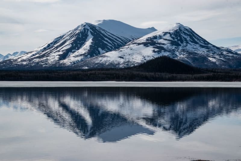 yukon
Teslin
A village on the shore of Teslin Lake, home to a major Tlingit heritage center and some of the best lake views along the whole highway.
Explore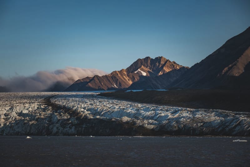 yukon
Tombstone Territorial Park
Jagged black peaks rising from tundra the color of fire — a landscape so visually specific it has become the unofficial symbol of the Yukon's wild interior.
Explore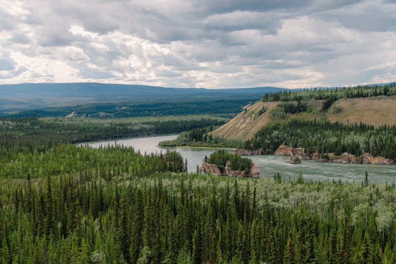 yukon
Watson Lake
The first town you reach entering the Yukon from the south, famous for a forest of 100,000 signs and the specific weariness of people who've been driving the Alaska Highway for two days.
Explore yukon
Whitehorse
A frontier capital where the Yukon River still runs wide and cold past coffee shops full of people who look like they just came in from the bush.
Explore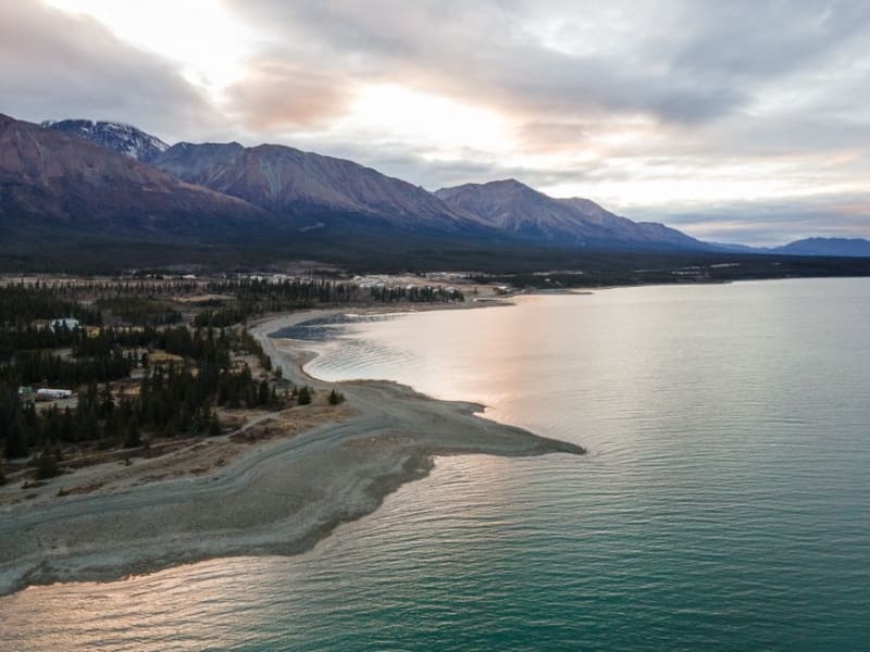 yukon
Beaver Creek
Canada's westernmost community, a small highway outpost near the Alaska border where the Yukon effectively runs out.
Explore