
Watson Lake
"Every sign in Watson Lake's famous forest was put there by someone who needed to prove they'd made it this far."
The first town you reach entering the Yukon from the south, famous for a forest of 100,000 signs and the specific weariness of people who've been driving the Alaska Highway for two days.

Watson Lake is 460 kilometers east of Whitehorse, right at the British Columbia border, and it greets you with a traffic circle and a visitors bureau and the Sign Post Forest, which is exactly what it sounds like. In 1942, a homesick American soldier building the Alaska Highway nailed a sign pointing toward his hometown of Danville, Illinois. People kept adding signs. Now there are over 100,000 of them, covering hundreds of poles, spread across a substantial lot. License plates, handmade signs, professional signs stolen from roads, signs in languages from every continent.
I spent an hour in the Sign Post Forest. It started as mild curiosity and became something more like research. The oldest signs are faded to the point of illegibility. The new ones still have their paint. Some are from towns I recognized; most are from places I’ve never heard of and will never go. The forest functions as an accidental monument to the human need to say I was here, and it hits differently when you’ve been driving through territory that doesn’t carry much evidence of human presence.
The Town
Watson Lake is not a beautiful town. It has the functional, slightly temporary quality of a place that exists because the highway needs services at this latitude. There are motels, a grocery store, a Tim Hortons that stays busy all hours because the Alaska Highway runs around the clock. Truckers from British Columbia share the coffee counter with motorcyclists from France and overlanders from Australia. The common thread is distance — everyone here has driven a long way or is about to.
The Alaska Highway Interpretive Centre handles this history with real seriousness. The road was built in eight months in 1942, a military engineering project driven by the threat of Japanese invasion of Alaska. It cut through terrain that civilian engineers had called impassable, built by crews working in conditions that ranged from deep mud to -50°C. The photographs are extraordinary. The men in them look like they’ve been asked to do something unreasonable and have decided to do it anyway.
Wye Lake
In the middle of town, Wye Lake Park is a small lake with a walking path, nesting loons, and a peaceful disconnect from the highway noise. Loons in the Yukon call at night and the sound carries in ways that feel disproportionate to the animal’s size. I sat on a bench at the edge of the lake at ten in the evening — still light, barely dusk — listening to a loon call from somewhere across the water and felt the particular quality of subarctic summer evenings, which is that they refuse to end.
The Upper Liard River
East of Watson Lake toward the BC border, the Upper Liard River runs through a floodplain forest of cottonwood and spruce. This is moose country, and the roadside pullouts in the morning are worth stopping at if you have patience. I watched a cow moose and a calf feed in the river shallows for twenty minutes from about fifty meters away. The calf was leggy and uncertain in the current. The cow was completely focused on the aquatic vegetation and periodically raised her head to check me with the mild irritation of someone interrupted at lunch.
Camping at Watson Lake
The Campground by the Lake sits right on Wye Lake and is managed by the municipality. The sites are spacious and separated, the facilities are clean, and the loons call all night. For a town campground in a service community on a major highway, it’s better than you expect, which is a pattern that keeps repeating in the Yukon: expectations calibrated for infrastructure and actual experience substantially warmer.
When to go: The Alaska Highway is open year-round, but June through September offers the best driving conditions and access to services. Watson Lake is often a first night’s stop for people entering from the south or a resupply point. The northern lights are visible from late August through April, with the campground providing good dark-sky access.
Keep exploring
More from Yukon
 yukon
Whitehorse
A frontier capital where the Yukon River still runs wide and cold past coffee shops full of people who look like they just came in from the bush.
Explore yukon
Beaver Creek
Canada's westernmost community, a small highway outpost near the Alaska border where the Yukon effectively runs out.
Explore yukon
Carcross
A tiny crossroads town between two lakes that somehow contains both the world's smallest desert and one of North America's most celebrated mountain bike trail networks.
Explore yukon
Dawson City
A gold rush town that never quite returned to normal, still running on whiskey and ambition at the end of a long dirt road.
Explore yukon
Dempster Highway
The only public road in Canada to cross the Arctic Circle, 740 kilometers of gravel threading through wilderness that has no particular interest in your schedule.
Explore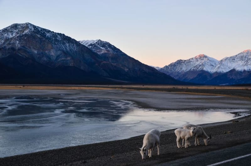 yukon
Faro
A former lead-zinc mining town built for ten thousand and now home to a few hundred, better known these days for its rare Fannin sheep than its ore.
Explore