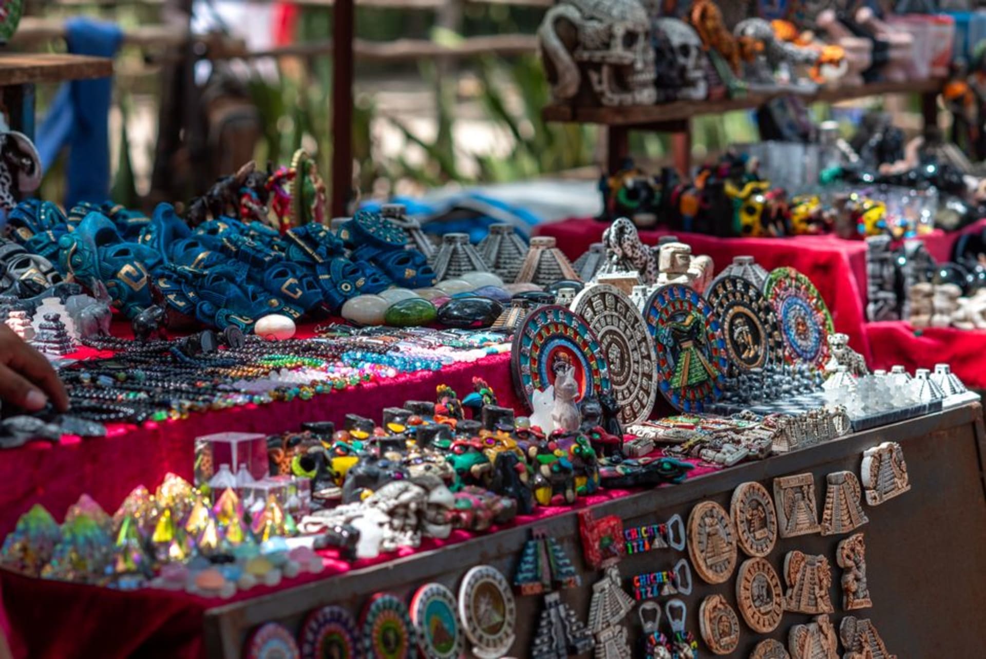
Nacajuca
"I rented a cayuco for an afternoon with no plan — the woman who handed me the paddle said that was exactly how it was supposed to work."
Fifteen minutes from Villahermosa and most travelers never make the turn. Nacajuca is Chontal Maya country threaded through with lagoons and canals — a municipality where flat-bottomed cayucos are still working transport, embroidery traditions run community by community, and the landscape itself sets the pace.

I came to Nacajuca on a Tuesday, fifteen minutes south of Villahermosa on the road toward Cunduacán, which is not long enough to prepare yourself for the shift in register. The land flattens into something almost deltaic — ejidos and rancherías separated not by roads but by channels, sugarcane stands reflected in slow water, the horizon held in place by ceiba trees. A man on a cayuco crossed under the bridge I was standing on without looking up. The municipality has been doing this for centuries: absorbing visitors at its own pace, which is to say, the pace of the water.
The Canals Are Not a Metaphor
The thing that surprises most people about Nacajuca’s lagoon system is that it is still functional. I mean that practically — the flat-bottomed cayucos you see poled across the Laguna de Pomposú and the connecting channels aren’t staged for photographs. Families use them to reach parcels of land that roads don’t serve; fishermen work the pejelagarto grounds before the morning heats up. I rented one from a woman near the embarcadero off the main road — a short negotiation conducted in my approximate Tabasco Spanish — and spent three hours without a particular destination, which turned out to be the correct approach. The waterway system connects a dozen rancherías, each one arriving quietly: a cluster of palapa rooftops above the treeline, a child watching from a dock, a television going behind a screen door. You understand the geography of the municipality better from water level than from any map.

What the Embroidery Tells You
Nacajuca is made up of several rancherías — Guatacalca, Mazateupa, Tucta, Tapotzingo among them — and each one maintains its own embroidery tradition within the broader Chontal Maya textile canon. The differences are not immediately obvious to the uninitiated eye, but the women who do this work will explain if you ask directly: this geometric border is ours, that color sequence belongs to the community across the canal. During the Semana de la Cultura Chontal, held annually in the main plaza of the municipal seat, these distinctions get laid out side by side — embroidered blouses, table linens, huipil forms that have been adapted and adapted again without disappearing. The rest of the year the work happens in kitchens and on porches, which is where I ended up watching one afternoon after accepting a cup of pozol from a woman who had been at her needle since dawn. The design she was working was a repeating diamond in burnt orange and deep blue, which she said her grandmother had taught her, which her grandmother’s grandmother had taught her grandmother.

Pejelagarto and Pozol
Tabasco’s signature fish shows up across the state, but in Nacajuca it has context — the lagoons are where it comes from. The small comedores near the mercado municipal serve it asado, split and grilled over wood until the prehistoric-looking scales are charred and the white flesh inside pulls easily. Order it with a stack of tortillas and a bowl of frijoles negros de olla and you have the whole meal. Pozol — a cold drink of fermented masa and cacao or corn — is what people drink in this heat, served in a gourd or a repurposed plastic container, either way. It is an acquired taste I have, at this point, fully acquired.

Getting There
Nacajuca sits fifteen minutes south of Villahermosa by car or colectivo; colectivos leave from near the TAPO terminal in Villahermosa throughout the day for a few pesos. The municipality is most navigable between October and February, when the rains have eased and the lagoon levels are full but workable. A cayuco rental is easiest to arrange near the embarcadero on the main road — ask at the small shops along the waterfront.
Keep exploring
More of Tabasco
Keep exploring
More from Tabasco
 mexico
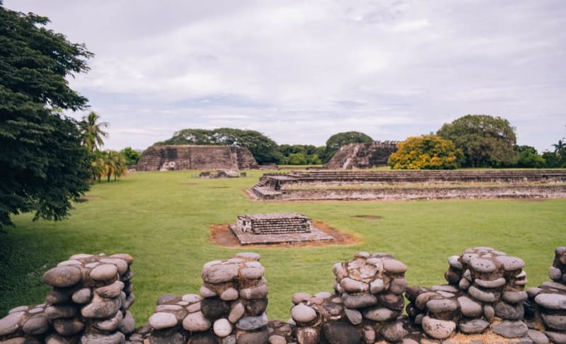
 Villahermosa
The Tabasco capital that holds the most remarkable outdoor museum in Mexico — colossal Olmec heads and monuments displayed in a tropical park at La Venta, the cradle of Mesoamerican civilization in a city built on cacao and oil.
Explore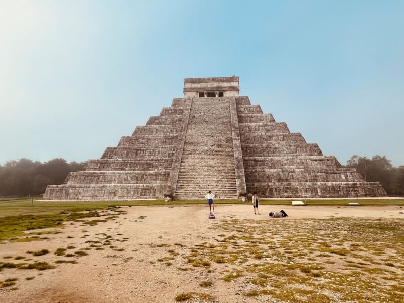 mexico
 Comalcalco
The only Maya city built from brick — the lowland Tabasco Maya who had no stone quarried clay and fired bricks instead, creating a pyramid city that looks like ancient Rome dropped into a cacao plantation.
Explore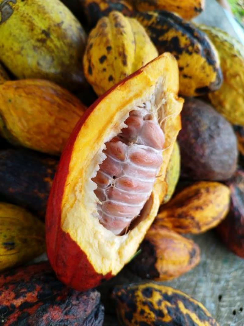 mexico
 Comalcalco
Comalcalco is the westernmost Maya city, built not from carved stone but from fired brick — the flat Tabasco plain had no limestone to offer. The ruins are rarely crowded, and the surrounding farms produce some of the finest cacao in Mexico under old-growth shade canopy.
Explore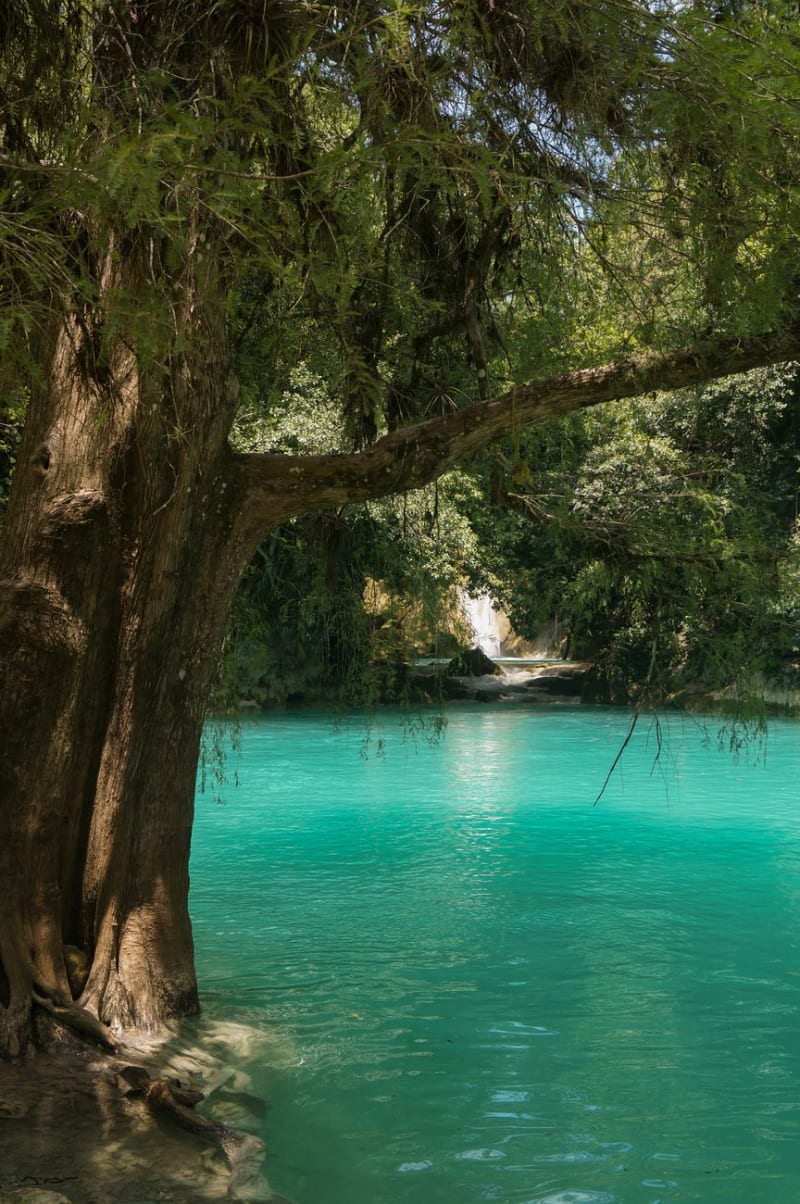 mexico
 Paraíso
Paraíso is a Gulf Coast port town in northwestern Tabasco where Tabasqueños drive on weekends to eat fresh shrimp and pejelagarto, a prehistoric armored fish found only in the Grijalva-Usumacinta river system that looks like it should have gone extinct with the dinosaurs and tastes like nothing else in Mexico. The beach is Gulf brown-green, not tropical turquoise, with working boats and coconut palms and restaurant tables full of families celebrating things.
Explore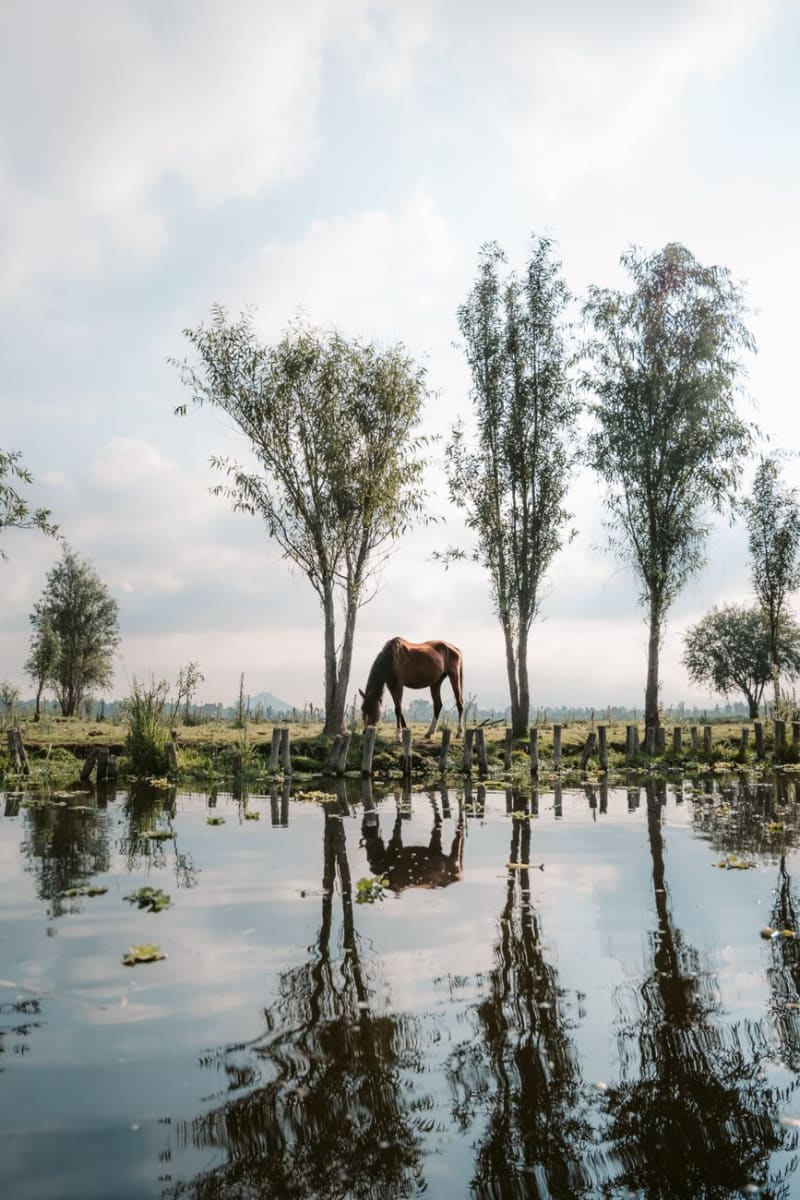 mexico
 Pantanos de Centla
The largest wetland system in Mesoamerica, where the Grijalva and Usumacinta rivers converge before entering the Gulf — a biosphere reserve of water hyacinths, manatees, crocodiles, and a bird density that resets what you thought you knew about bird density. Dawn boat tours are the only sensible way in.
Explore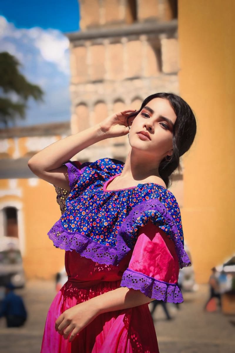 mexico
 Teapa
A sierra town in southern Tabasco where the flat coastal plain suddenly becomes hills, sulfur springs bubble warm from the earth, and a cave system 4km from the center hides a river running through the dark. Almost nobody comes here from outside Tabasco, which is precisely its logic.
Explore