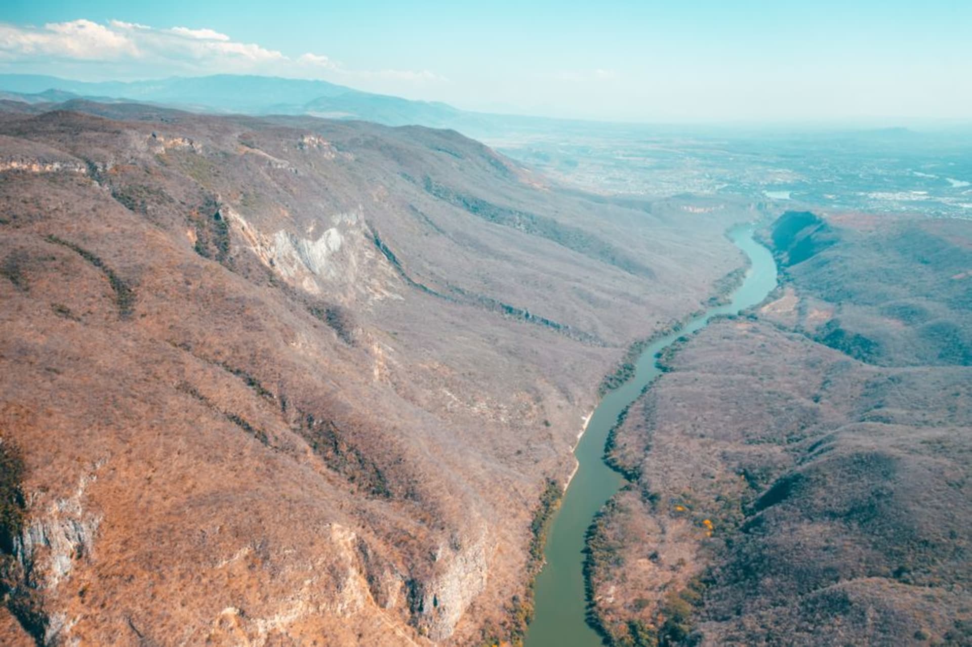
Choix
"Three guesthouses, one road in, and a canyon that makes Copper Canyon look crowded. I don't know why nobody talks about Choix."
A remote sierra town where the Fuerte River has carved barrancas through pine-oak forest at the northern edge of Sinaloa, presided over by a landscape that genuinely surprises this far north. Guarijío rancherías dot the surrounding mountains, the mercado fills on Tuesdays and Saturdays, and almost no foreigners pass through — which tells you something.

The sign for Choix appears three hours after the road stops being a road in the straightforward sense — somewhere past a Guarijío ejido where a man on a horse watched my car without visible curiosity. The pines show up gradually, then all at once, and the air gets thin enough to notice. I had been tracking the landscape since El Fuerte: mango orchards first, then scrub, then a canyon opening to the left with water in it. By the time I reached the plaza, the sun was low and there were exactly six people sitting in it. I counted.
The Canyon Below Town
The Fuerte River doesn’t advertise itself from inside Choix. From the central plaza — church, municipal building, a flag fighting the wind — you’d never know there’s a barranca twenty minutes’ walk from the gazebo. You have to ask. The woman at the comedor near the market pointed me toward a road that became a path, past rancho houses where the dogs treated my presence as a genuine novelty, and then the land simply stopped.
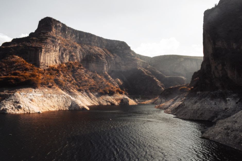
The canyon isn’t signposted, isn’t Instagram-tagged, isn’t navigable without some real orientation unless you’re comfortable with rough terrain. It opens wide enough that the opposite wall seems like a different climate — which it roughly is: pine at the rim, tropical scrub down where the humidity collects in the barranca floor. I stood at the edge for a while feeling unreasonably rewarded. People spend serious money reaching Barranca del Cobre and dealing with Divisadero’s tourist infrastructure. This one had a man on a mule and complete silence.

What They Cook Here
The mercado in Choix runs at full capacity on Tuesdays and Saturdays — twelve stalls, maybe — but it punches well above its size in chilorio. Sinaloa’s slow-cooked pork paste appears everywhere in this state, but the version I ate at the comedor on the north side of the market, ladled into flour tortillas with fresh salsa verde and crumbled añejo, was different in the way altitude cooking is sometimes different: denser, smokier, the fat rendered longer. I went back two days in a row, which is the most honest form of endorsement I know.
In the evenings, a woman near the basketball court sells tamales de elote — fresh corn, not masa — steamed in husks until they barely hold together. You eat them standing. Nothing else is open past seven, and nobody seems troubled by this arrangement.
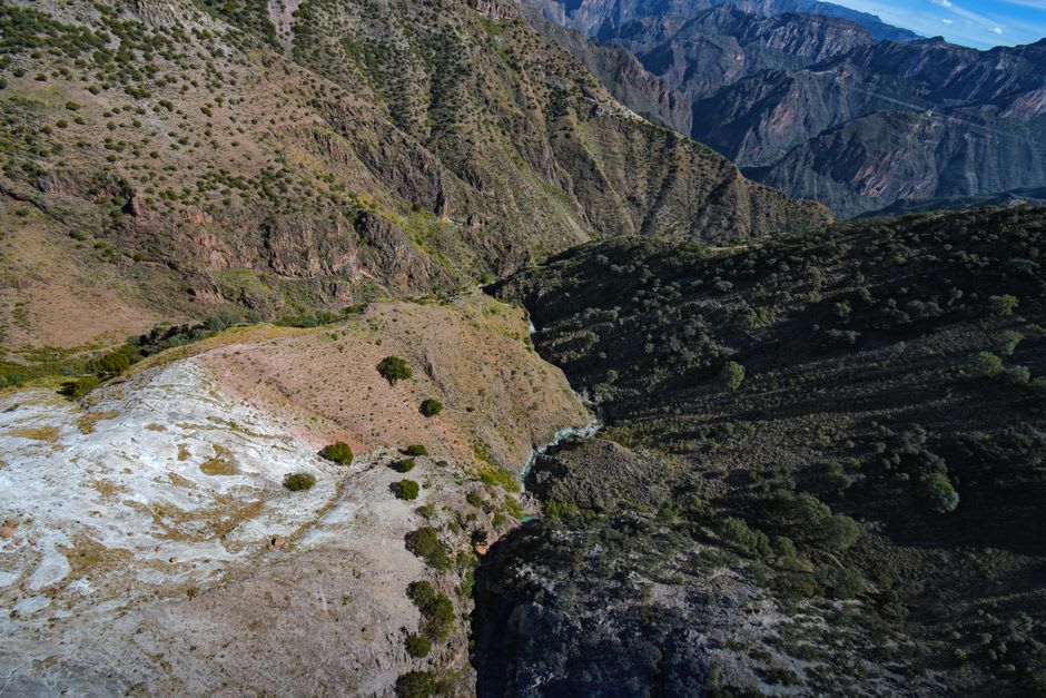
The Guarijío Rancherías
The municipality of Choix includes Guarijío rancherías scattered through the surrounding sierra, some reachable only by unpaved roads that demand serious trucks. A few, like Santa Bárbara, sit close enough to the highway to be less inaccessible — though I’d suggest checking at the presidencia municipal in town before driving out. Community ecotourism projects exist in various stages of formation; when I passed through, nothing was quite organized enough to call a formal program, but the staff at the presidencia were helpful and clearly accustomed to the occasional curious visitor.
The town itself rewards slow walking. The streets above the church climb steeply on two sides, and from the upper colonias you catch canyon glimpses between rooftops that make the gradient worthwhile.
Getting There
The closest hub is El Fuerte, roughly two and a half hours by car on Highway 32 — paved but narrow and attentive-driving required. From Los Mochis add another thirty minutes. Bus service from El Fuerte runs irregularly; a shared taxi is more reliable. Come between October and March, when sierra temperatures are manageable and the summer rains haven’t softened the road shoulders.
Keep exploring
More of Sinaloa
Keep exploring
More from Sinaloa
 mexico
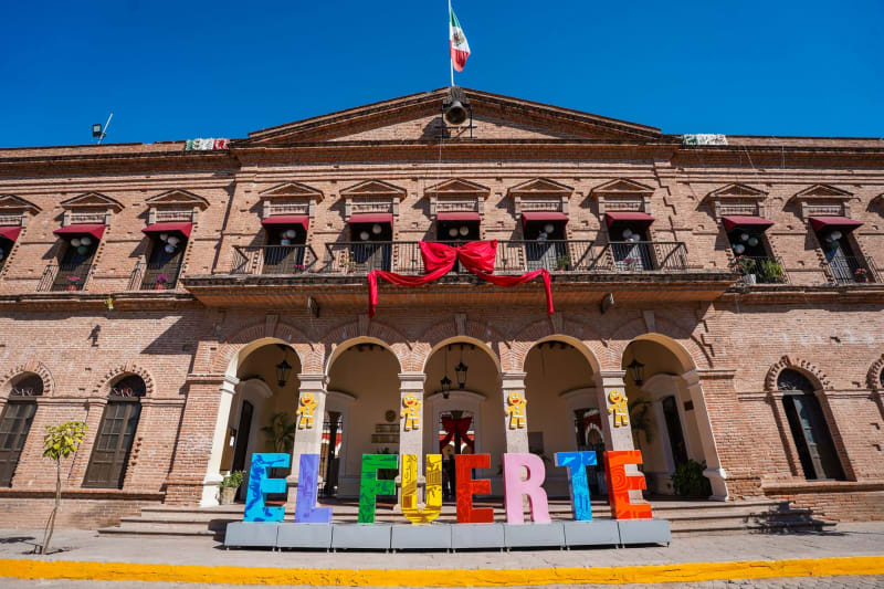
 El Fuerte
A Sinaloa colonial town that was the most important trading center in northwestern New Spain, the western terminus of the El Chepe Copper Canyon train, and a place where the evening malecón is more alive than any beach resort the state has produced.
Explore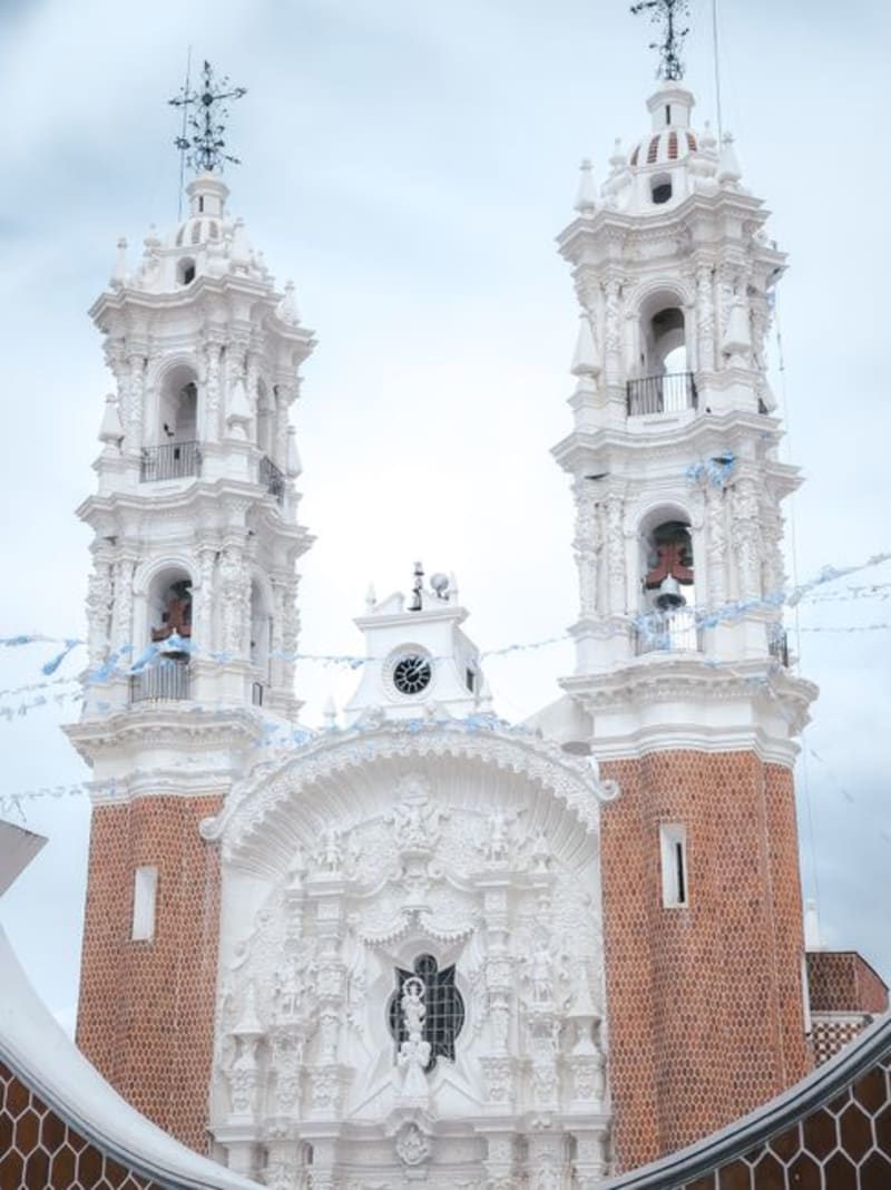 mexico
 Sinaloa de Leyva
Sinaloa de Leyva was the colonial capital of the region before politics redirected everything south to Culiacán, and the town has spent the intervening centuries being exactly as small as it needed to be. The cathedral faces a plaza that once anticipated a larger crowd, and mornings here run at the pace that administrative cities forgot how to manage.
Explore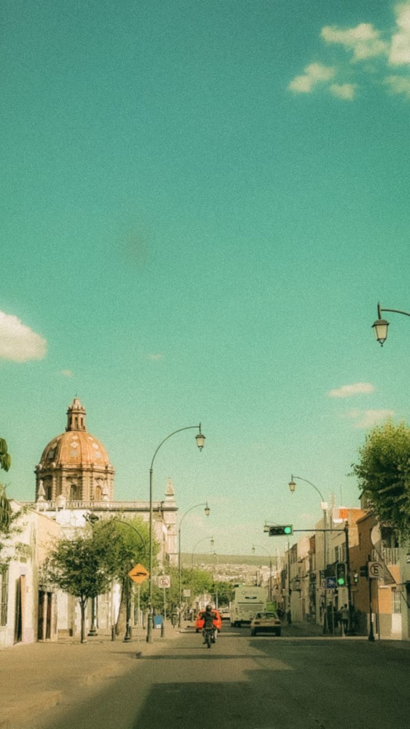 mexico
 Los Mochis
The western terminus of the Copper Canyon railway (El Chepe), a Pacific coast city that exists primarily to launch that journey. Not beautiful, but with a shrimp and seafood economy that produces extraordinary raw material and a 5am energy that belongs to working ports.
Explore mexico
 Topolobampo
Topolobampo is a port on Sinaloa's Pacific coast that most travelers cross without stopping, focused on the ferry to La Paz or the train east toward the Copper Canyon. The bay disagrees with this arrangement: whale sharks patrol its waters from October through April, the mangroves run dense with herons and spoonbills at dawn, and the fish market operates a daily pelican theater at no additional charge.
Explore mexico
 Mocorito
Mocorito is Sinaloa's smallest Pueblo Mágico, known locally as the cuna de las bellas costumbres — the cradle of beautiful customs — for preserving the Sunday paseo and the formal serenata that most Mexican towns have long since abandoned. I arrived on a Sunday afternoon, walked the plaza with the families doing exactly what families have done here on Sunday afternoons for generations, and ate birria de chivo at a comedor where the television was on and no one was watching it.
Explore mexico
 Mocorito
A small colonial town in the Sinaloan foothills that takes its literary identity seriously — the casco histórico is immaculate, the plaza is shaded and unhurried, and once a year a literature festival briefly fills every street with readers. The rest of the year it belongs to the sugarcane fields and the pigeons.
Explore