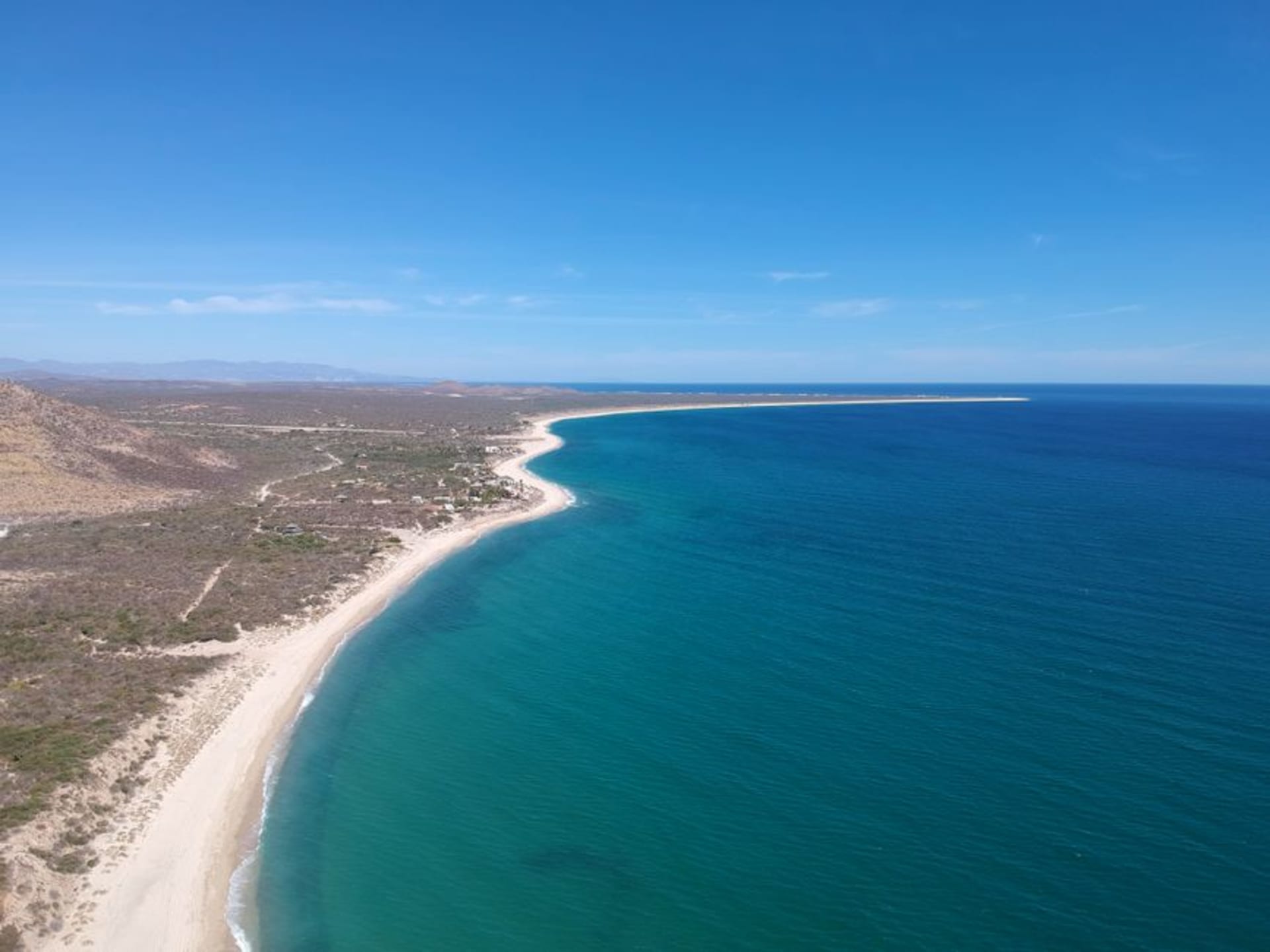
San Quintín
"San Quintín oysters, a squeeze of lime, and an empty black-sand beach — I understood immediately why certain people drive four hours specifically for this."
Four hours south of Tijuana, San Quintín is where Baja sheds its suburban sprawl and turns genuinely wild. The bay yields some of the finest oysters in Mexico, shucked roadside by the men who pulled them from the water that morning. Black-sand volcanic beaches stretch toward Punta Baja with almost no one on them.

I pulled off Highway 1 somewhere past El Rosario, following a handwritten sign that said ostiones and a gravel lot with two pickup trucks. A man in rubber gloves was shucking oysters onto a plastic tray, not looking up. I ate eight of them standing there, lime juice running down my wrist, and I remember thinking: this is exactly the kind of place you either discover by accident or drive four hours to reach on purpose. I had done the former. By the next morning, I fully understood the logic of the latter.
The Bay and Its Oysters
Bahía San Quintín is a long, shallow estuary that cuts inland from the Pacific — protected enough to cultivate shellfish, calm enough to kayak in the early morning when the mist still sits on the water. The oystermen here, mostly ejido cooperatives that have worked this bay for generations, shuck at roadside stands along the highway, and the price is almost offensively reasonable: forty or fifty pesos for a dozen, depending on the day and the man. You eat them on the spot with lime and a bottle of hot sauce that has been baking in the sun. There is no ceremony to it, which is precisely the point. The clam operations are significant too — almejas chocolatas pulled from the bay floor — but it is the oysters that people remember. The Miramar area has a few modest restaurants that will cook them if you insist, but eating them raw, standing in gravel, is the experience that justifies the drive.
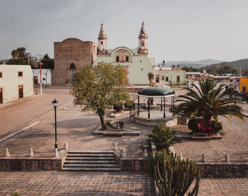
The Volcanic Shore
The geology of this corner of Baja shows itself most clearly on the beaches south of town, where the sand turns iron-black and the landscape shifts from scrubby chaparral to something that feels genuinely prehistoric. Playa Santa María is the easiest to reach — a wide, dark arc facing the open Pacific with no facilities and, on most weekdays, no other people. The surf is serious and unpredictable; I watched sets come through I would not have attempted in good conscience. But the walking is extraordinary. You follow the waterline for an hour and the light changes every fifteen minutes, the dark sand absorbing heat, the cliffs behind you catching the afternoon angle. Punta Baja, further south, requires a rougher road and some commitment, but the isolation is near-total. Bring water. Bring more than you think you need.
Settling Into the Rhythm
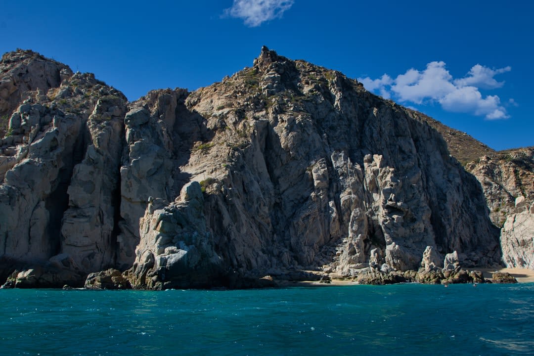
San Quintín rewards slowness in a way that can frustrate people expecting a resort town — there isn’t one. The hotels along Highway 1 are functional; I stayed somewhere that cost me 650 pesos and had extremely effective air conditioning, which in August is genuinely all you need. The main strip between San Quintín and the neighboring town of Lázaro Cárdenas has taquerías that open at seven and fill with farmworkers by eight. Mariscos El Muelle does a clam soup that tastes exactly like the bay smells — mineral, cold, clean. Without a plan, the plan writes itself: oysters in the morning, black-sand beach in the afternoon, fish tacos before dark. The cell signal disappears reliably south of town, which certain people in my life would call a flaw.
Getting There
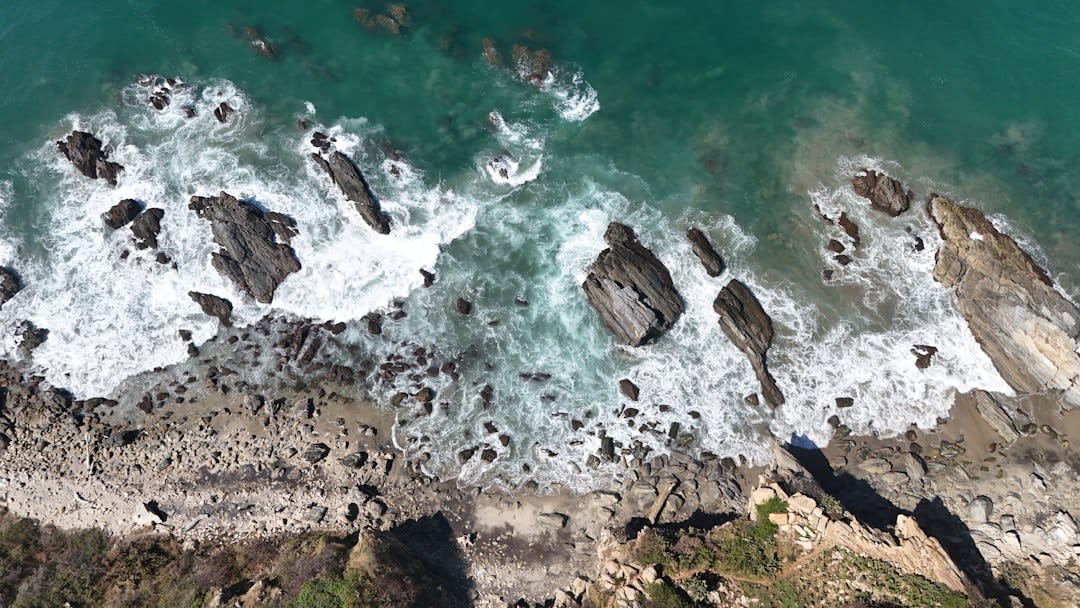
San Quintín sits on Highway 1 roughly 300 kilometers south of Tijuana — four hours of driving, more if you stop at Valle de Guadalupe, which you probably should. Intercity buses on the Tijuana–La Paz corridor stop at the main junction, but a car is not optional if you want to reach the beaches south of town. The road is paved all the way; Punta Baja is where it gets interesting.
Keep exploring
More of Baja California
Keep exploring
More from Baja California
 mexico
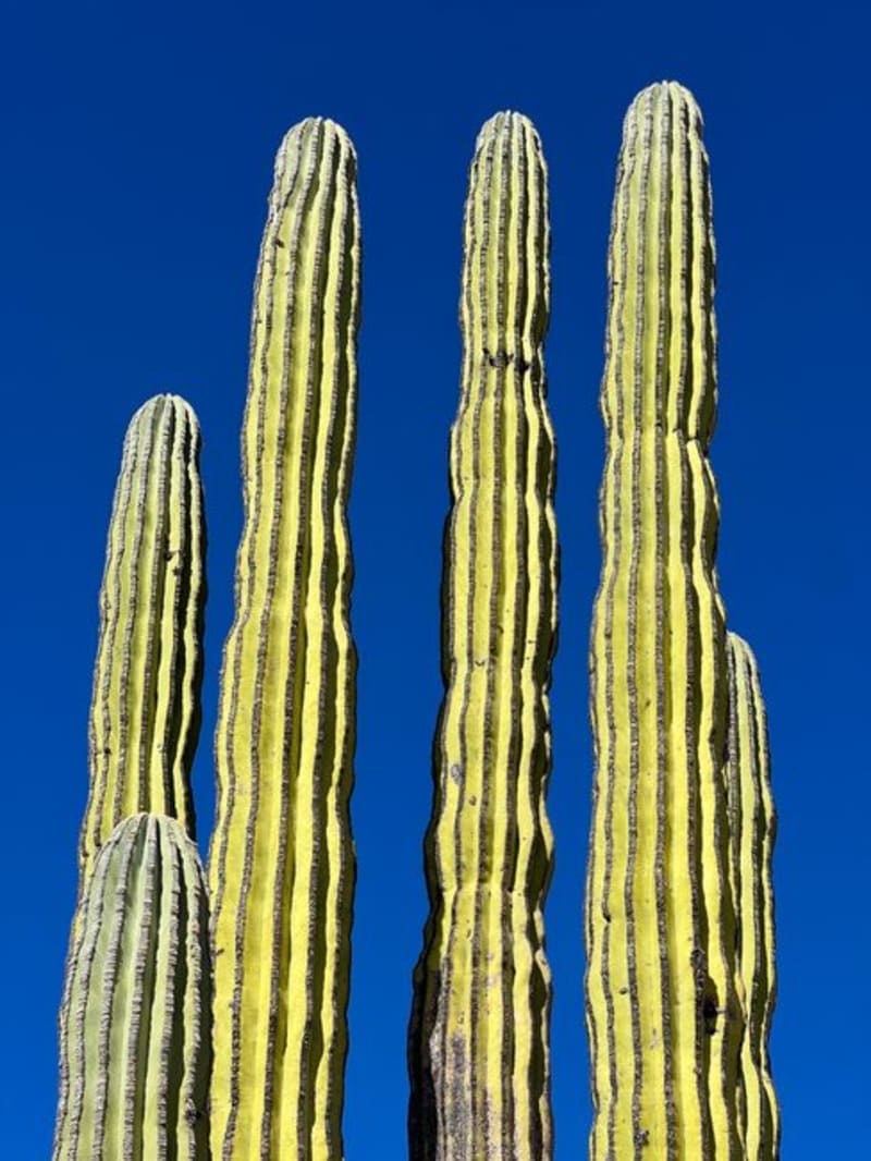
 Valle de los Cirios
Stretching across the central spine of Baja California, the Valle de los Cirios is a UNESCO-protected biosphere reserve built around the boojum tree — a spiraling succulent column that looks like something a child invented and a desert made real. Driving the Transpeninsular Highway through it at dawn is one of the genuinely unrepeatable experiences of western Mexico.
Explore mexico
 La Bufadora
A marine blowhole twenty kilometres south of Ensenada that erupts every few minutes with a force you feel in your sternum — surrounded, unexpectedly, by some of the better street food on the Baja peninsula.
Explore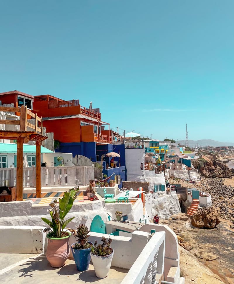 mexico
 Ensenada
Ensenada is a Pacific port city ninety minutes south of Tijuana where the morning fog sits low over the harbor until ten, the fish market opens before dawn, and the road east leads into wine country that no one outside of Mexico seems to know exists. I went for the Valle de Guadalupe and ended up staying for the tostadas de mariscos eaten standing up at eight in the morning, watching pelicans work the water.
Explore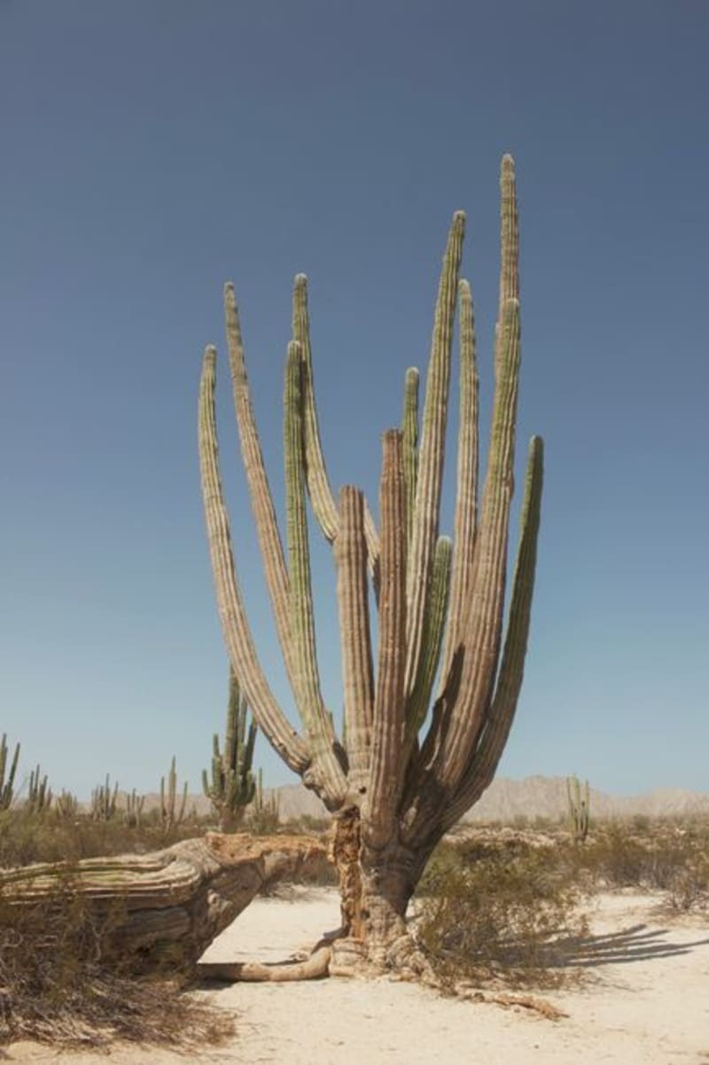 mexico
 Cataviña
A remote crossroads in the Valle de los Cirios, where boojum trees rise from ancient granite boulders like organisms from a different evolutionary timeline and prehistoric cave paintings survive on the canyon walls. It sits roughly halfway down the Baja peninsula, far enough from both coasts that most people who pass through do so by accident — which is, oddly, the best way to arrive.
Explore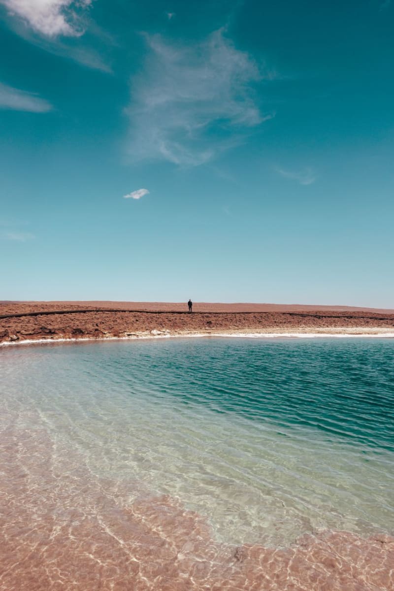 mexico
 Laguna Hanson
Laguna Hanson is a high-altitude lake in the Sierra Juárez mountains of northern Baja California, reached by a rough road that climbs from coastal desert into pine-oak forest at 1,800 meters — a complete ecosystem change in under an hour of driving. The lake sits among granite boulders and Jeffrey pine, shallow and seasonal, and the night sky above it is the darkest I've encountered in Baja. I drove up from Ensenada, camped alone, and woke to cold mist on the water.
Explore mexico
 La Rumorosa
A mountain pass in the Sierra Juárez where geology has arranged granite boulders the size of apartment buildings into formations that look staged. At 1,200 metres the wind never stops and most of the million people who drive through each year don't get out of their cars.
Explore