
Lagos de Montebello
"Each lake is a different shade of improbable — indigo, jade, black — as if the forest couldn't commit to a single color."
Sixty-odd lakes in a pine forest on the Guatemalan border, each a different impossible color depending on its mineral chemistry.

I reached Lagos de Montebello in a collectivo from Comitán that dropped me at the park entrance with four hours before the last ride back. The driver, when I asked about the lakes, turned in his seat and said simply: “Son diferentes.” They are different. It is, as descriptions go, entirely accurate and completely unprepared me for what I found.
The national park near the Guatemalan border contains somewhere between fifty-nine and sixty-two lakes — the count varies depending on the source and probably the season — occupying sinkholes and karst depressions in a pine and oak forest at around 1,500 meters. What makes them extraordinary is that each lake is a different color, ranging from turquoise through jade and green to a deep indigo that looks almost black in low light, the variation produced by differences in mineral concentration, depth, and the way the surrounding forest affects light at different hours. Walking from one to the next, the color shifts feel impossible — not like variations within a palette but like entirely different decisions.

The most-visited cluster — Cinco Lagunas, where the lakes are close together and reachable on foot — gives you the color palette in concentrated form. I walked the trail between them in the late morning, the light low enough through the pine canopy to keep the forest cool, and at each lake the surface was something new. Lago Pojoj is a deep warm jade. Lago Encantado is lighter, almost mint, where the bottom shows through. La Cañada, partly shaded by overhanging pines, goes indigo in sections and turns nearly black where it is deepest. I sat on the bank of La Cañada for a long time watching the color migrate across the surface as clouds moved over.
The border with Guatemala runs through the park, and on a clear day the Cuchumatanes mountains are visible across the water from the eastern lakes — a reminder that this landscape does not respect political boundaries that were drawn in the nineteenth century. The Tojolabal Maya communities around the park’s edges have been here rather longer than those boundaries, and the area feels less like a managed tourist attraction than a landscape that is still primarily being lived in. A dirt road runs through the forest between the lakes, past milpas where corn is growing, past a family house where three kids were watching me from a fence with focused curiosity.

Comitán de Domínguez, the nearest city and logical base for this area, is a colonial highland town often bypassed in favor of San Cristóbal, and the bypassing is a mistake. Its zócalo is one of the most pleasant in Chiapas — arcaded on three sides, with a bandstand in the center and cafés that close late. I ate sopa de pan here, the regional specialty: a layered casserole of fried bread, dried fruit, cinnamon, plantain, and piloncillo that eats somewhere between a dessert soup and a savory braise, sweet and deeply strange in the best possible way.
When to go: November through April, when the dry season keeps the road conditions stable and the pine forest at its clearest. The lakes are at maximum color saturation in the dry months. In the rainy season the forest is beautiful but the dirt road between lakes becomes difficult, and some areas of the park close temporarily.
Keep exploring
More from Chiapas
 chiapas
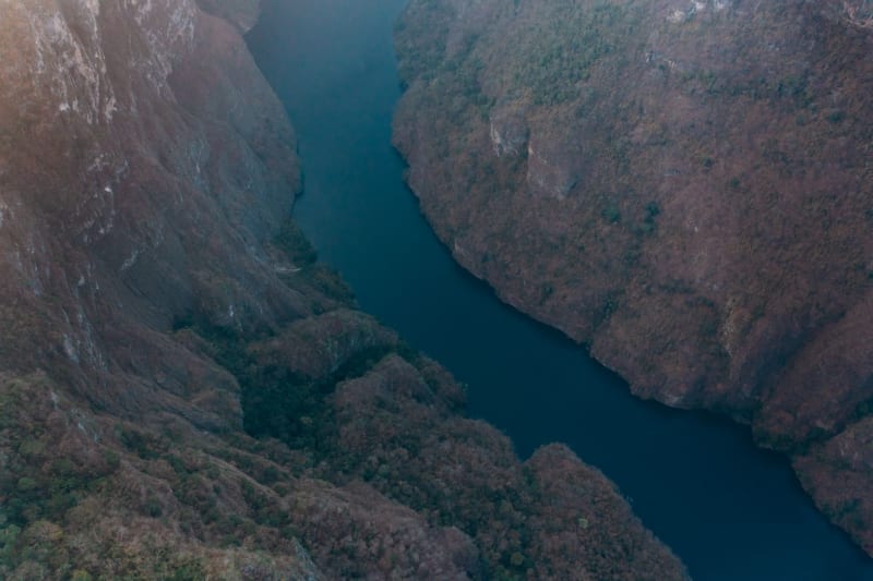
Misol-Ha
A single 35-meter waterfall plunging into a jungle pool you can walk behind — quiet, green, and genuinely uncrowded.
Explore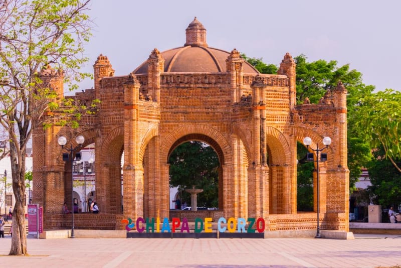 chiapas
Ocosingo
A working market town near the Tonina ruins, still carrying the memory of the 1994 Zapatista uprising in its quiet town square.
Explore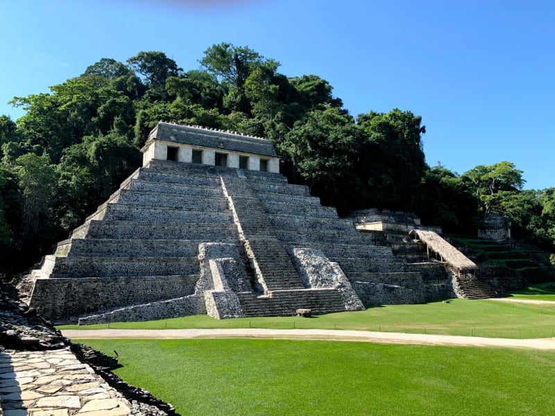 chiapas
Palenque
Maya ruins dissolving into living jungle, where howler monkeys bark from the canopy above temples that still feel genuinely discovered.
Explore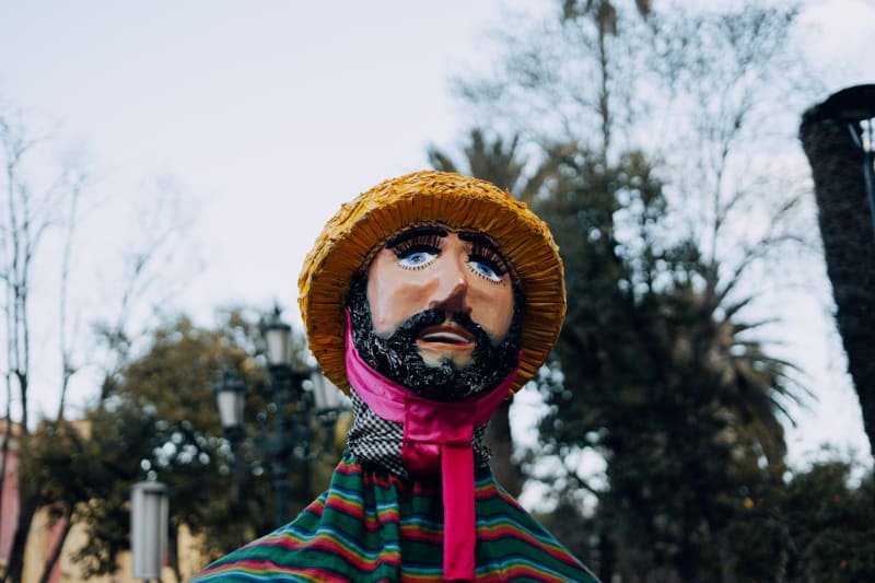 chiapas
San Cristóbal de las Casas
A cool highland colonial city where Zapatista coffee and Tzotzil textiles exist in deliberate, unresolved tension.
Explore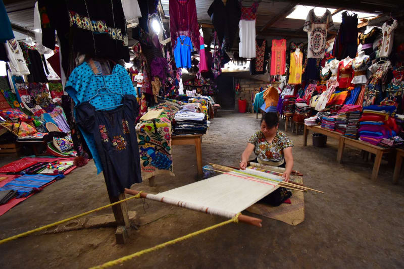 chiapas
San Juan Chamula
A Tzotzil autonomous municipality where a white church full of pine needles and Coca-Cola runs on a calendar entirely its own.
Explore chiapas
Tapachula
A humid border city near Guatemala where coffee and cacao plantations climb the volcano slopes just outside town.
Explore