
Americas
Carretera Austral
"Three days of gravel and I'd already forgotten what pavement felt like."
A thousand-kilometer dirt road threading glaciers, fjords, and old-growth forest through Chilean Patagonia — one of the last places on earth where the road itself is the destination.

The ferry from Puerto Montt deposits you at Chaitén just before dawn, and Chile immediately makes its intentions clear. There is no welcome center, no tourist office, just a single unpaved road heading south into forest so dense you can hear the moisture in it. I’d been warned that the Carretera Austral would break my plans. It did, repeatedly, and I’m grateful for every delay.
The road runs roughly 1,240 kilometers from Puerto Montt down to Villa O’Higgins, a town that exists at the edge of Chilean geography almost as a dare. What makes it unlike any other Patagonian route is the variety: you pass the hanging glaciers of Parque Nacional Queulat, where ice pours off the mountainside like a slow waterfall suspended in time; you cross the baker-blue waters of the Río Cochrane; you detour to Puyuhuapi for a hot spring that steams directly into the Pacific fjords. Near La Junta, I pulled over to eat homemade sopaipillas from a woman selling them from a card table beside the road, with no sign and no fixed schedule — she was just there, and then she wasn’t. That improvised logic governs most of the route.
The towns are small and honest. Coyhaique is the de facto capital, which tells you something — a city of 50,000 that feels genuinely remote. Cochrane, further south, has a handful of restaurants and a legendary butcher where I ate the best lamb of my life, grilled over open coals by someone who clearly didn’t think this required any ceremony. The hospitality along the Carretera runs that way: unperformed, practical, real. Families rent rooms in their houses, mechanics solve problems with whatever they have, and nobody seems particularly impressed that you’ve come this far — which, here, is the highest compliment.
When to go: November through March for navigable roads and tolerable weather. January and February are peak season — busier but with the best guarantee of dry crossings. October and April are possible for the adventurous, with emptier roads and moody light that photographers chase.
What most guides get wrong: They frame the Carretera Austral as a cycling or motorcycling route, which undersells it for people who arrive by rental truck or shared van. You don’t need a motorbike to earn this road. You need time — at least two weeks — and the willingness to stop when something looks interesting, even when the map says the next destination is three hours ahead. The road punishes schedules and rewards patience.
Explore
Places in Carretera Austral
 carretera-austral
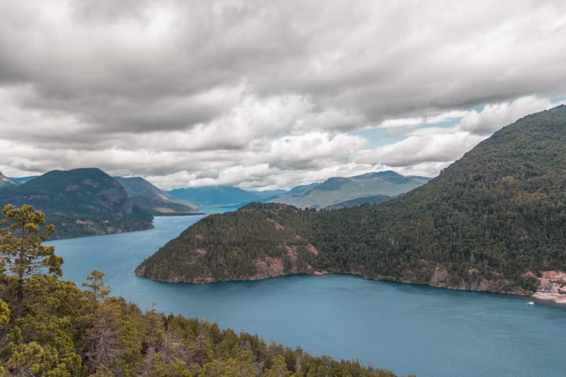
Caleta Tortel
A wooden village built entirely on cypress boardwalks over a tidal fjord — no cars, no streets, just walkways and water and the sound of boats.
Explore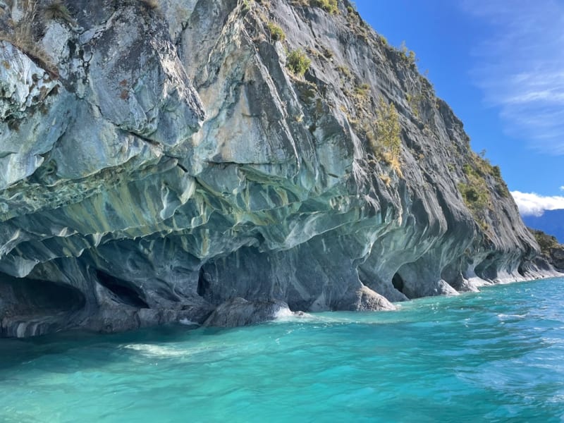 carretera-austral
Capillas de Marmol
Swirling marble caves carved by decades of wave action on Lago General Carrera, reachable only by small boat from Rio Tranquilo.
Explore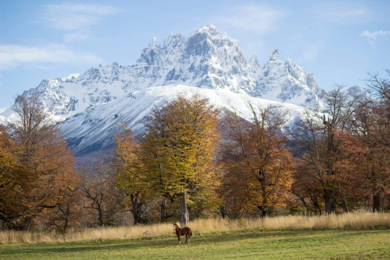 carretera-austral
Cerro Castillo National Park
A wall of basalt spires south of Coyhaique that looks like a ruined fortress and trekkers compare, quietly, to Torres del Paine without the crowds.
Explore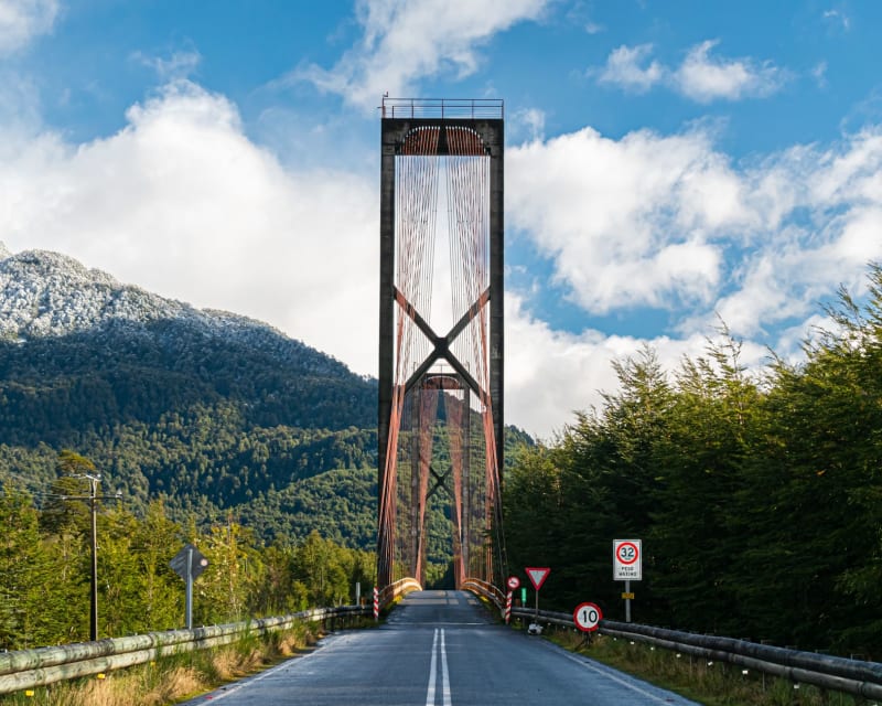 carretera-austral
Chaitén
A small port town rebuilt from volcanic ash — the ghost-house district remains, half-swallowed by jungle, honest and eerie.
Explore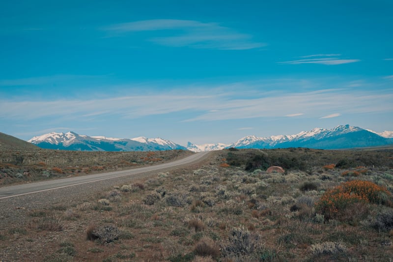 carretera-austral
Cochrane
A frontier town at the edge of the Baker River valley where the butcher shop is the finest restaurant and the lamb is beyond argument.
Explore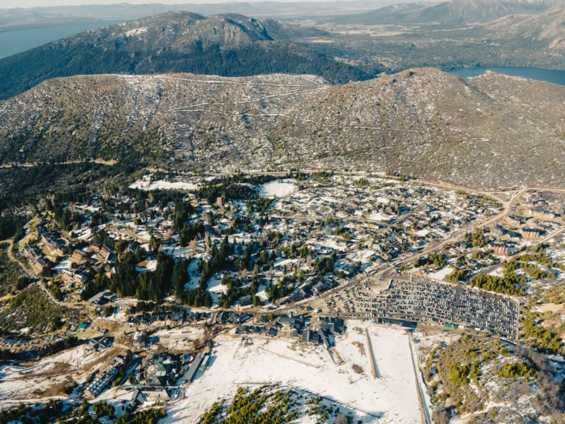 carretera-austral
Coyhaique
The unlikely capital of Chilean Patagonia — a city of 50,000 that feels genuinely remote, with outstanding lamb and a square you won't forget.
Explore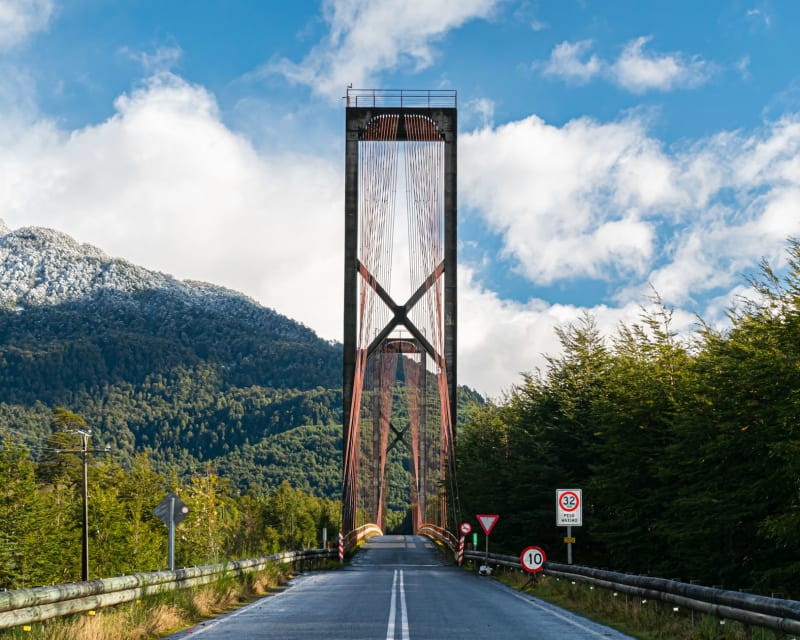 carretera-austral
Futaleufú
A small border town sitting beside one of the world's great whitewater rivers — where the river's reputation draws a very specific kind of person.
Explore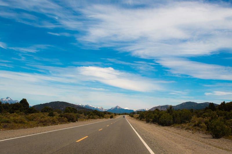 carretera-austral
La Junta
A crossroads village in the Palena valley where two rivers meet and travelers refuel, eat well, and stay longer than planned.
Explore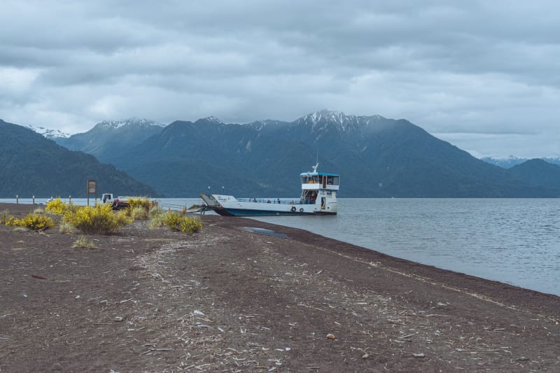 carretera-austral
Lago General Carrera
South America's second-largest lake and home to the Marble Caves — turquoise water eroding swirling blue-grey marble into impossible geometry.
Explore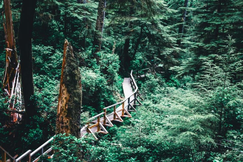 carretera-austral
Parque Pumalin
A sprawling private-turned-national park of temperate rainforest and smoldering volcanoes that anchors the northern Carretera Austral.
Explore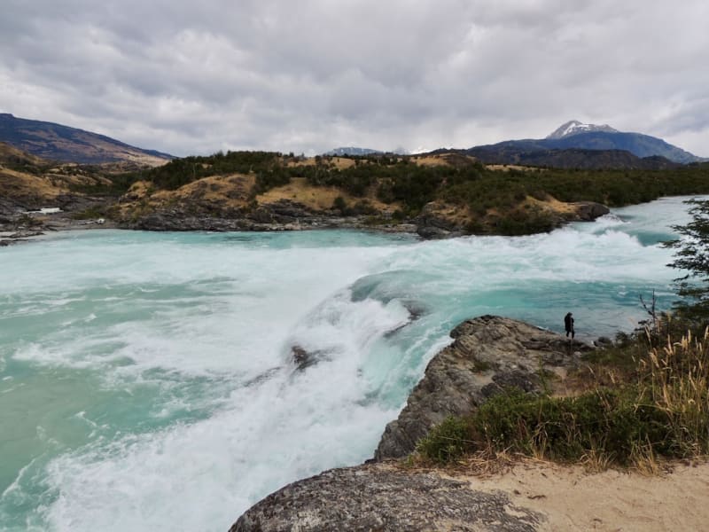 carretera-austral
Puerto Bertrand
A tiny riverside hamlet at the source of the Rio Baker where whitewater kayakers gather to run some of Patagonia's most striking rapids.
Explore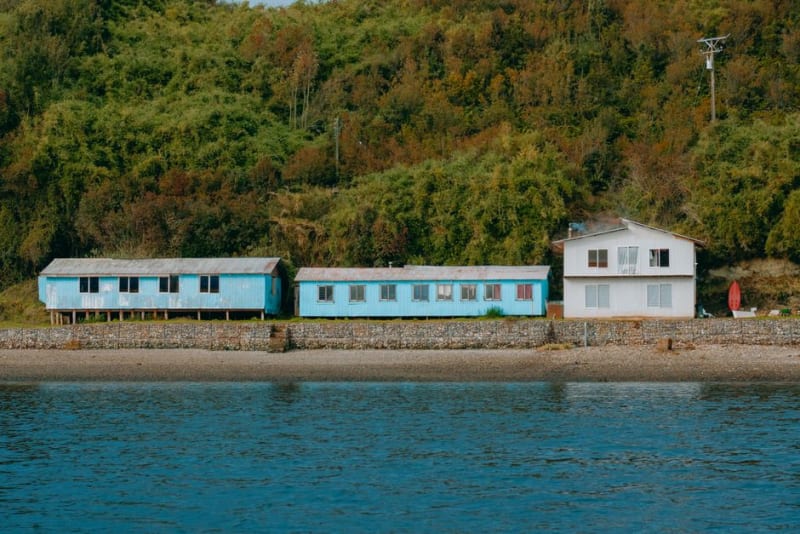 carretera-austral
Puerto Rio Tranquilo
A dusty lakeside village on the Carretera Austral that exists almost entirely to launch boats toward the marble caves next door.
Explore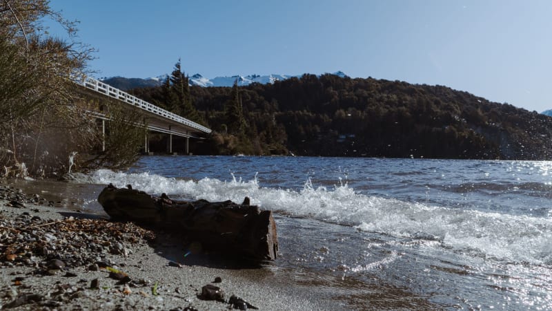 carretera-austral
Puyuhuapi
A village of German settler houses and hot springs steaming into Pacific fjords — the Carretera at its most improbably beautiful.
Explore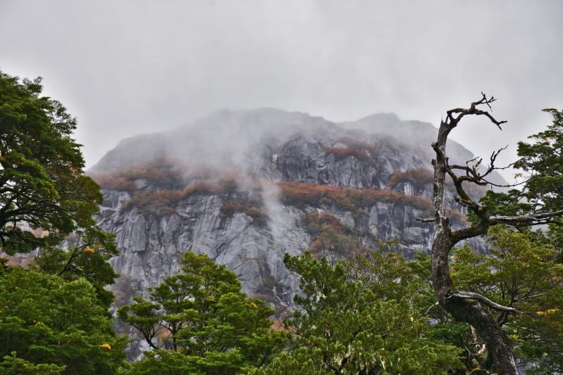 carretera-austral
Parque Nacional Queulat
Home to the Ventisquero Colgante — a hanging glacier that pours ice off a cliff-face above a perfectly still black lake.
Explore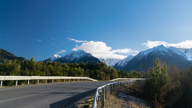 carretera-austral
Valle Chacabuco
A former sheep estancia turned rewilded national park where pumas, huemules, and guanacos have quietly reclaimed Patagonian steppe.
Explore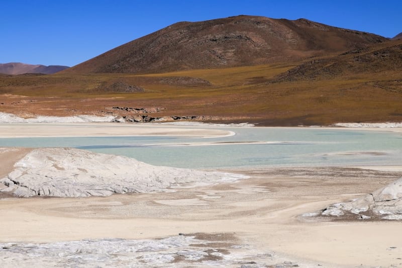 carretera-austral
Ventisquero San Rafael
A massive tidewater glacier calving directly into a remote lagoon, reachable only by boat from the southern end of the Carretera Austral.
Explore