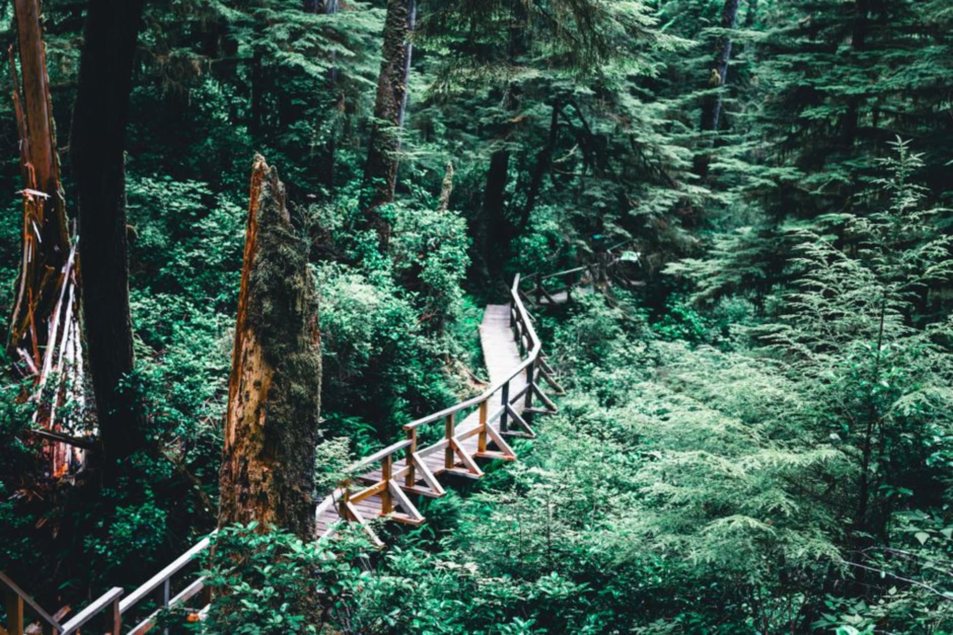
Parque Pumalin
"We stood under a alerce tree that was alive before the Aztec empire existed and I genuinely didn't know what to say to Lia, so I just held her hand."
A sprawling private-turned-national park of temperate rainforest and smoldering volcanoes that anchors the northern Carretera Austral.

Parque Pumalin is the place that made me understand what people mean when they say Patagonia’s forests feel prehistoric. We entered from the north, near Caleta Gonzalo, and within the first ten minutes on the Sendero Cascadas trail the light had gone green and filtered, the trail turned to boardwalk over ferns the size of umbrellas, and the whole soundscape shifted to dripping water and wind way up in a canopy we couldn’t fully see. It’s easy to forget this entire park exists because an American businessman, Doug Tompkins, quietly bought up huge tracts of land here in the nineties specifically to protect them, then donated it all to Chile, which folded it into the national park system in 2018. Whatever you think about a foreigner buying up Patagonian land, the result on the ground is that this forest never got logged, and you can feel the difference walking through it.
The alerce trees are what got me most. They’re a Patagonian cypress that grows achingly slowly and can live for thousands of years — some of the oldest ones in Chile are older than most human civilizations — and Pumalin protects a real stand of them, not just a roadside specimen tree. We found one with a small plaque near the visitor center and just stood there a while, Lia running her hand along the bark, both of us doing that thing where you try to make a number like three thousand years actually mean something and fail.

Further south, the park’s other headline feature announces itself before you see it: Volcan Chaiten, which erupted unexpectedly in 2008 and buried the nearby town under ash, forcing a full evacuation. Driving past the volcano’s grey, still-smoking slopes, dead trees rising out of ash flats like something from another planet, was one of the more unsettling and beautiful stretches of road on the whole Carretera Austral. There’s a hike up to a lookout over the crater that we didn’t have time for but that everyone we met who’d done it described in the same slightly stunned tone.

We camped one night at Camping Rio Gonzalo, one of the wooden campgrounds the park maintains, and I remember lying in the tent listening to rain on temperate rainforest canopy, which sounds different than any other rain I’ve slept through — softer somehow, filtered through a few hundred years of leaves before it reaches the ground.
When to go: Visit between December and March for the driest trails and longest daylight; the ferry-dependent northern access at Caleta Gonzalo can be unreliable outside summer.
Keep exploring
More from Carretera Austral
 carretera-austral
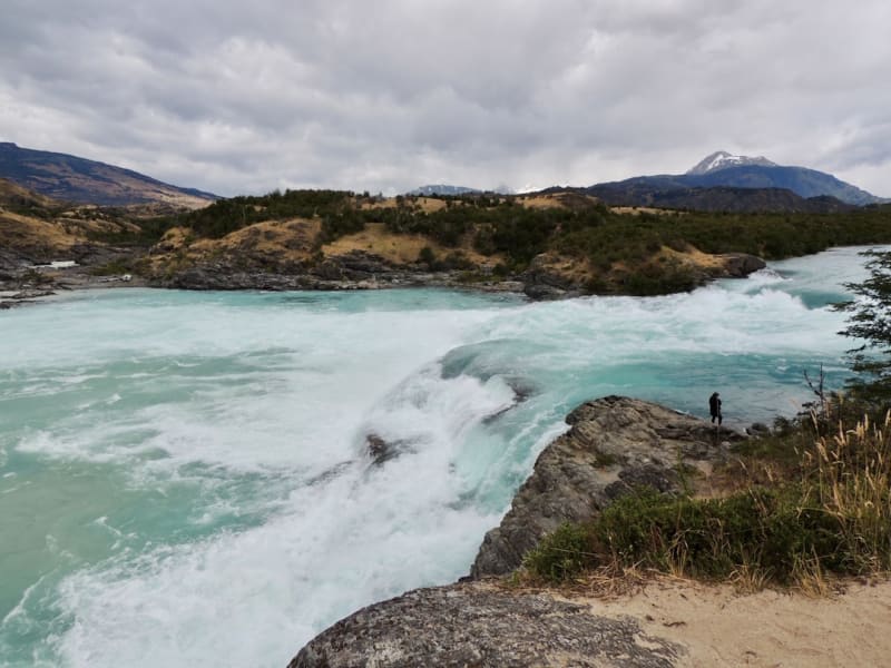
Puerto Bertrand
A tiny riverside hamlet at the source of the Rio Baker where whitewater kayakers gather to run some of Patagonia's most striking rapids.
Explore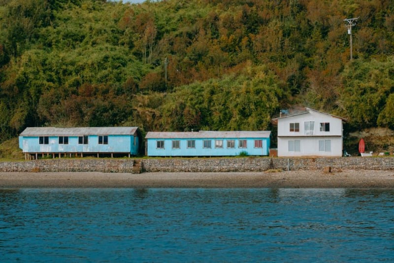 carretera-austral
Puerto Rio Tranquilo
A dusty lakeside village on the Carretera Austral that exists almost entirely to launch boats toward the marble caves next door.
Explore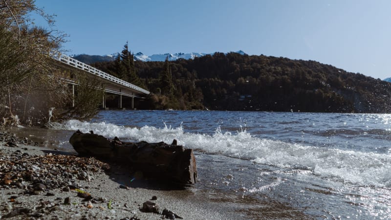 carretera-austral
Puyuhuapi
A village of German settler houses and hot springs steaming into Pacific fjords — the Carretera at its most improbably beautiful.
Explore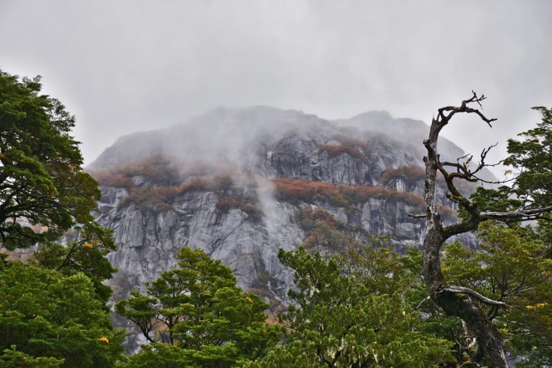 carretera-austral
Parque Nacional Queulat
Home to the Ventisquero Colgante — a hanging glacier that pours ice off a cliff-face above a perfectly still black lake.
Explore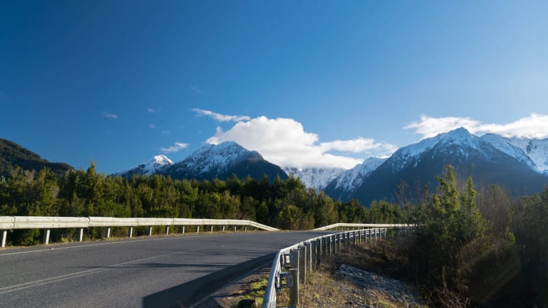 carretera-austral
Valle Chacabuco
A former sheep estancia turned rewilded national park where pumas, huemules, and guanacos have quietly reclaimed Patagonian steppe.
Explore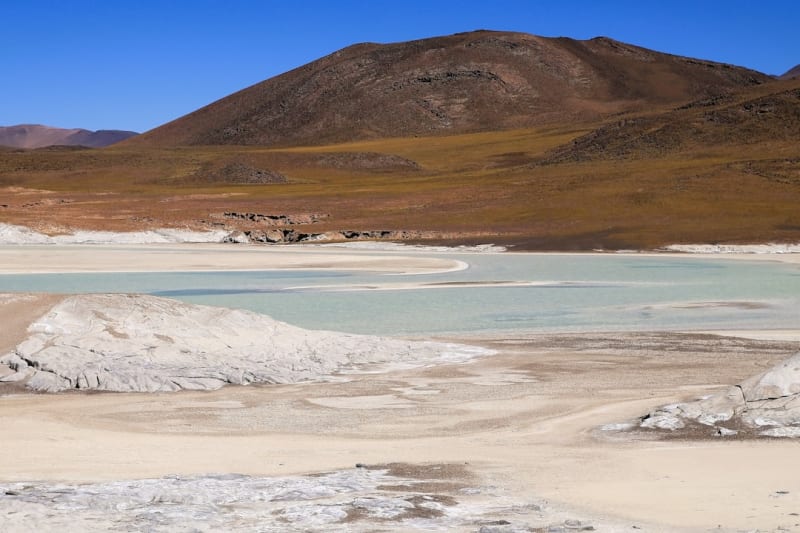 carretera-austral
Ventisquero San Rafael
A massive tidewater glacier calving directly into a remote lagoon, reachable only by boat from the southern end of the Carretera Austral.
Explore