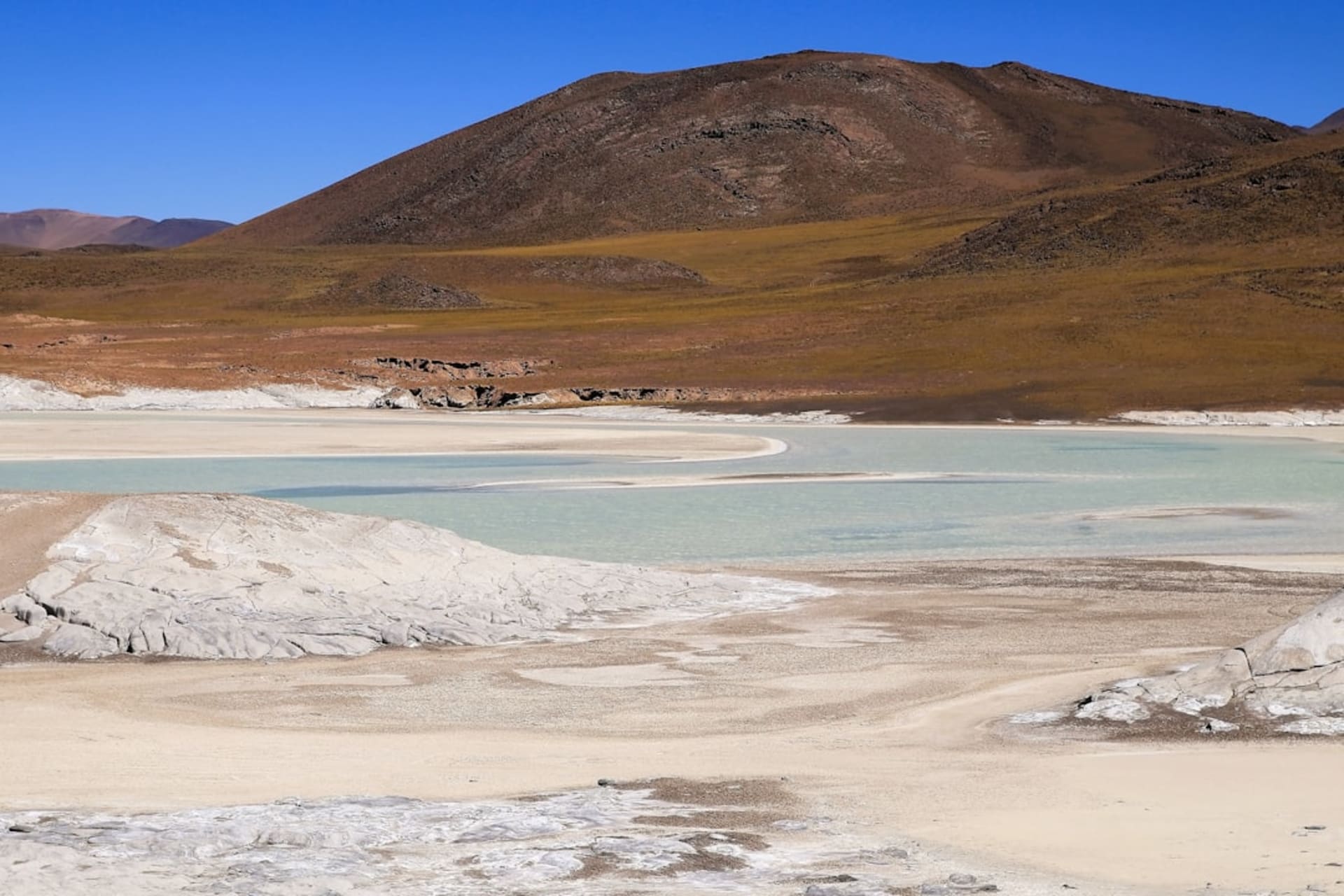
Ventisquero San Rafael
"The boat cut its engine a few hundred meters out and we just sat there, listening to the glacier crack and groan like it was talking to itself."
A massive tidewater glacier calving directly into a remote lagoon, reachable only by boat from the southern end of the Carretera Austral.

Getting to Ventisquero San Rafael takes actual effort, which is part of why it stays so quiet compared to glaciers you can drive up to elsewhere in Patagonia. From Puerto Rio Tranquilo or further south near where the highway runs out, you’re looking at a boat crossing through Laguna San Rafael that can run several hours each way, weaving through a channel choked with icebergs that get denser and stranger-shaped the closer you get. I spent most of the approach just watching ice go by — chunks the size of cars, some improbably blue from compressed ancient air, bobbing past the hull.
The glacier itself is one of the lowest-latitude tidewater glaciers on the planet, meaning it’s a river of ice that flows all the way down from the Northern Patagonian Ice Field and dumps straight into salt water, which is rarer than you’d think this far from the poles. Our captain cut the engine well back from the face — there are real rules about distance now, after a chunk calved and swamped a tour boat with a wave some years back — and in that quiet we heard it before we really processed what we were hearing: deep cracks and low groans, like the ice was under some kind of internal pressure that occasionally had to find a way out.
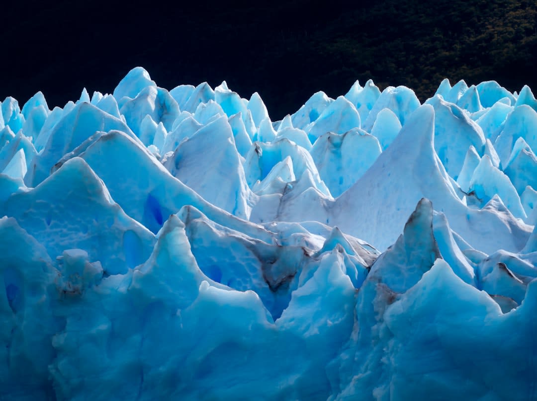
We didn’t get a calving event, which is apparently the norm, not the exception — you can sit out there an hour and see nothing more dramatic than a small chunk sliding off, or you can get lucky and watch a slab the size of a building peel away and slam into the lagoon. What we got instead was scale. The face is somewhere around sixty meters high where it meets the water, and from a few hundred meters out in a small boat it dwarfed everything, this wall of compressed blue-white ice against grey Patagonian sky, with condors occasionally cutting across the cliffs above it.
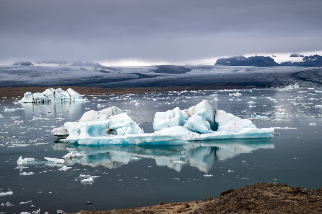
Lia got quiet in a way she rarely does, and I remember thinking, on the long ride back, that this was one of those places where the effort to reach it was inseparable from the experience — if it were easy, I’m not sure it would have hit the same way.
When to go: Trips run mostly November through March; conditions on the open lagoon crossing can be rough, so build in a spare day in case a departure gets postponed for weather.
Keep exploring
More from Carretera Austral
 carretera-austral
Villa O'Higgins
The last settlement at the end of the road — a village that exists at the literal edge of Chilean geography, where the Carretera stops and the ice field begins.
Explore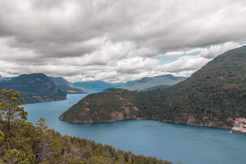 carretera-austral
Caleta Tortel
A wooden village built entirely on cypress boardwalks over a tidal fjord — no cars, no streets, just walkways and water and the sound of boats.
Explore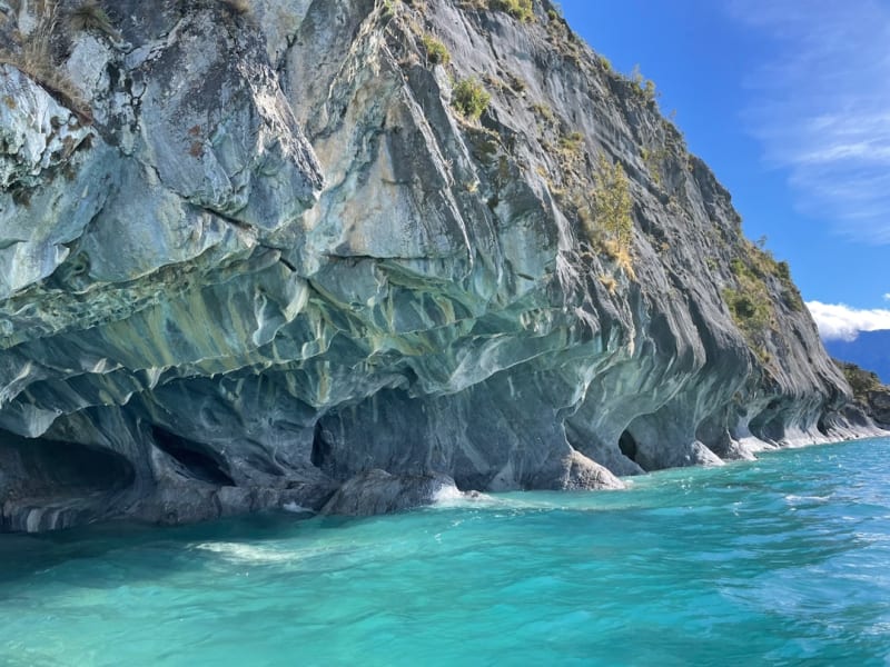 carretera-austral
Capillas de Marmol
Swirling marble caves carved by decades of wave action on Lago General Carrera, reachable only by small boat from Rio Tranquilo.
Explore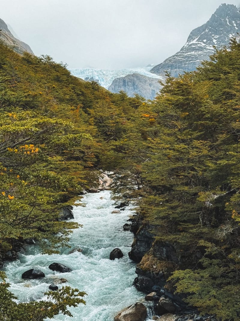 carretera-austral
Cerro Castillo National Park
A wall of basalt spires south of Coyhaique that looks like a ruined fortress and trekkers compare, quietly, to Torres del Paine without the crowds.
Explore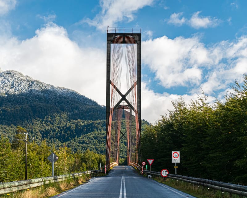 carretera-austral
Chaitén
A small port town rebuilt from volcanic ash — the ghost-house district remains, half-swallowed by jungle, honest and eerie.
Explore carretera-austral
Cochrane
A frontier town at the edge of the Baker River valley where the butcher shop is the finest restaurant and the lamb is beyond argument.
Explore