Puerto Bertrand
"I'm not a kayaker and never will be, but watching them drop into that first rapid at Bertrand, I understood the appeal for about four seconds."
A tiny riverside hamlet at the source of the Rio Baker where whitewater kayakers gather to run some of Patagonia's most striking rapids.

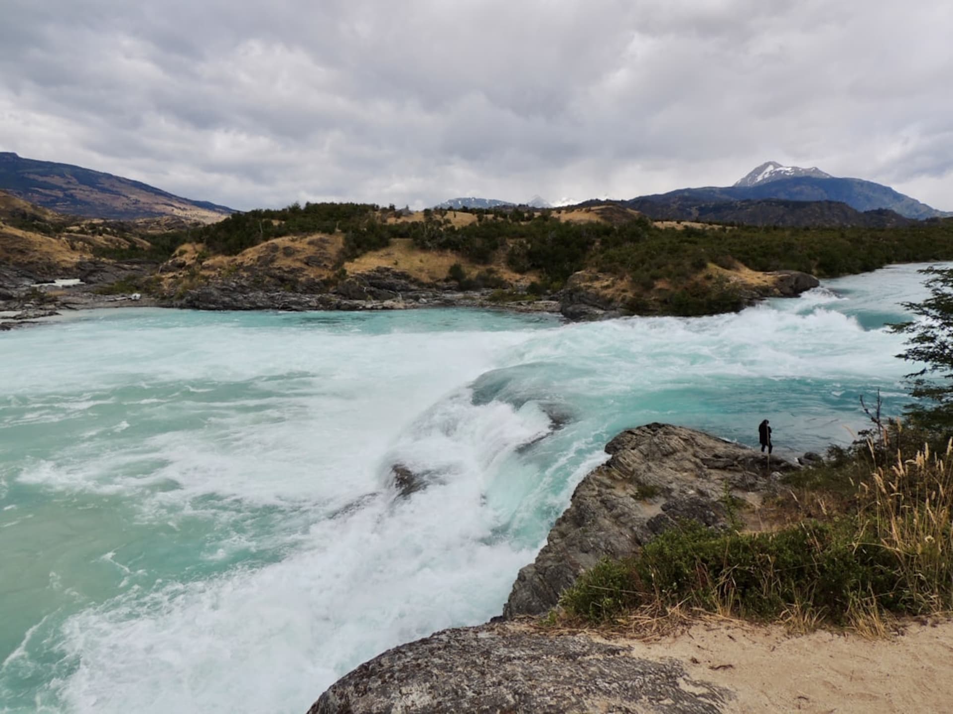
Puerto Bertrand is barely a village — a scatter of houses, a couple of lodges, a general store that keeps hours nobody can predict — sitting right where Lago Bertrand narrows and pours itself into the Rio Baker. That transition point is the whole reason the place exists on any traveler’s radar. The water leaving the lake is that saturated glacial turquoise, and it stays that color as it accelerates into the river, which is Chile’s largest by volume and, according to every kayaker we met there, one of the most technically demanding and beautiful rivers in the world to paddle.
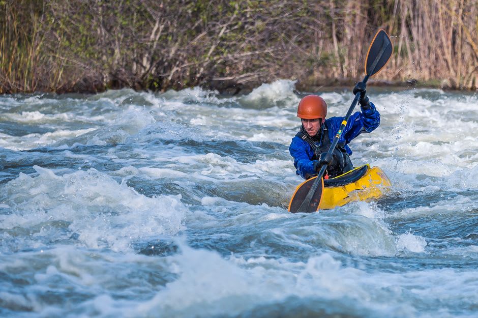
We weren’t there to kayak. We were there because a friend of a friend runs a small lodge on the water and told us to just come see it, and I’m glad we did, because Puerto Bertrand turned out to be the most purely relaxed stop of our whole Carretera Austral run. We spent an afternoon sitting on a dock watching a group of maybe six kayakers, mostly Europeans on some kind of multi-week paddling trip, ferry back and forth across the current above the first big rapid, scouting lines, occasionally dropping in and disappearing around a bend with a whoop we could hear from shore.
The Rio Baker has become something of a cause in Chile as well as a sport destination — there was a huge, years-long fight over a proposed dam project, HidroAysen, that would have flooded stretches of it and the Rio Pascua, and the campaign against it, with the slogan “Patagonia Sin Represas,” became one of the most visible environmental movements in the country’s recent history. The project was eventually shelved. Standing on that dock, knowing the water in front of us almost got buried under a reservoir, changed how I looked at it.

We ate trout that the lodge owner had caught that morning, slept with the window cracked to the sound of the current, and left the next day feeling like we’d stumbled onto something most people drive straight past on their way to bigger names further south. If you’re not paddling, there’s still fly fishing, short hikes along the lakeshore, and honestly just sitting there doing nothing, which is underrated.
When to go: The kayaking season and best weather run November through March; water levels and river conditions are at their most consistent in January and February.
Keep exploring
More from Carretera Austral
 carretera-austral
Puerto Rio Tranquilo
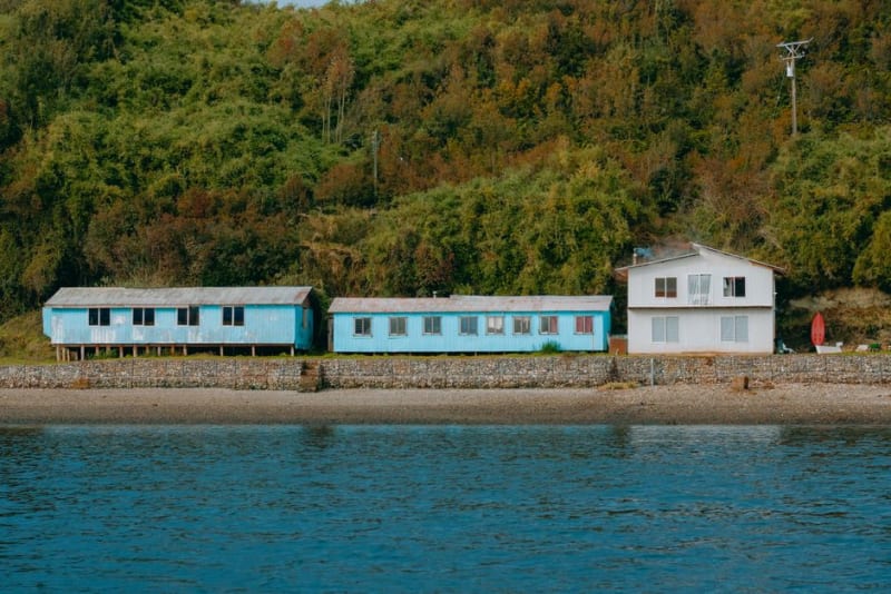
A dusty lakeside village on the Carretera Austral that exists almost entirely to launch boats toward the marble caves next door.
Explore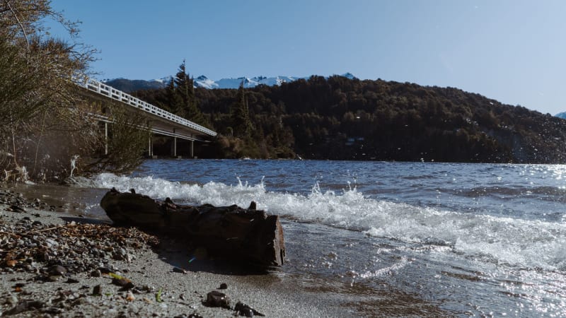 carretera-austral
Puyuhuapi
A village of German settler houses and hot springs steaming into Pacific fjords — the Carretera at its most improbably beautiful.
Explore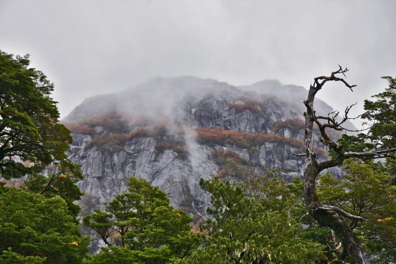 carretera-austral
Parque Nacional Queulat
Home to the Ventisquero Colgante — a hanging glacier that pours ice off a cliff-face above a perfectly still black lake.
Explore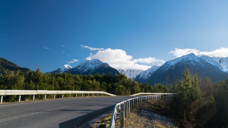 carretera-austral
Valle Chacabuco
A former sheep estancia turned rewilded national park where pumas, huemules, and guanacos have quietly reclaimed Patagonian steppe.
Explore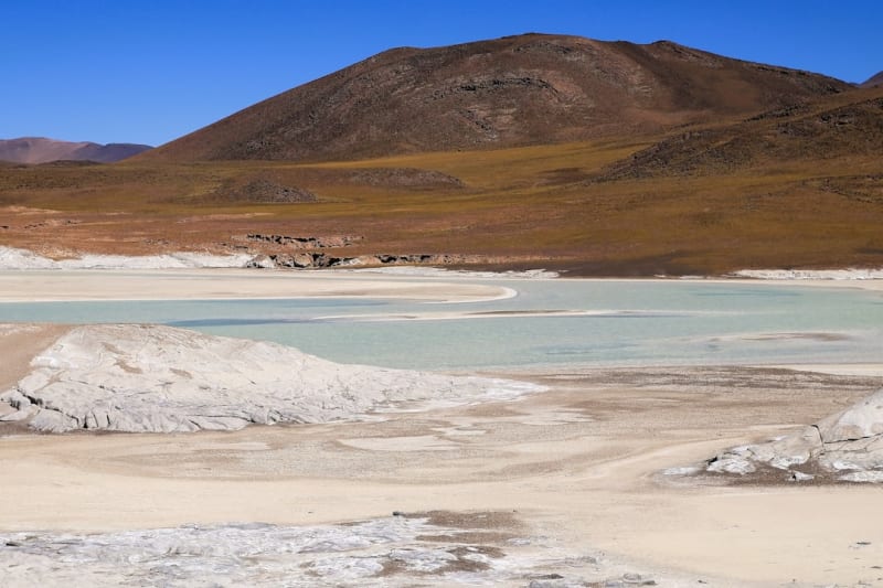 carretera-austral
Ventisquero San Rafael
A massive tidewater glacier calving directly into a remote lagoon, reachable only by boat from the southern end of the Carretera Austral.
Explore carretera-austral
Villa O'Higgins
The last settlement at the end of the road — a village that exists at the literal edge of Chilean geography, where the Carretera stops and the ice field begins.
Explore