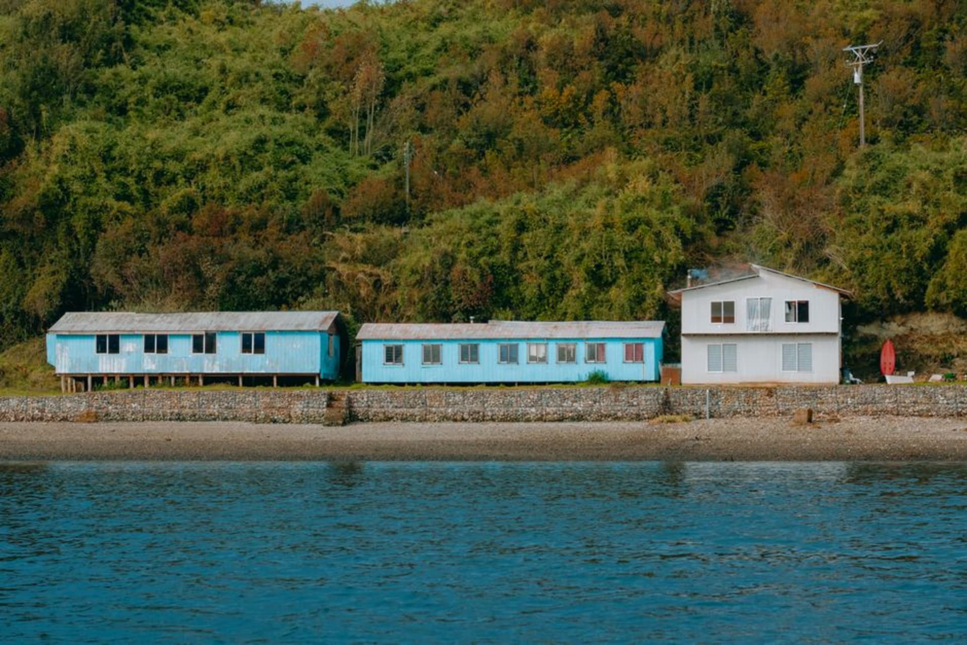
Puerto Rio Tranquilo
"I ate the best empanada de mariscos of the whole trip standing in a gravel parking lot in Rio Tranquilo, and I've thought about it since."
A dusty lakeside village on the Carretera Austral that exists almost entirely to launch boats toward the marble caves next door.

Puerto Rio Tranquilo doesn’t try very hard to be a destination in itself, and I mean that as a compliment. It’s a strip of maybe a dozen streets running down to Lago General Carrera, half of them unpaved, lined with boat-tour offices, empanada stands, and hostels with hand-painted signs. We rolled in mid-afternoon after a long stretch of the Carretera Austral, dust on everything we owned, and the first thing that hit me was the color of the water at the end of the main street — that same impossible glacial turquoise you see in the marble cave photos, except here it’s just lapping against a boat ramp next to somebody’s parked truck.
The town exists because of what’s a twenty-minute boat ride offshore: the Capillas de Marmol. Every business here, more or less, is built around getting you onto that water, and there’s a genuine hustle to it — guys standing at the harbor with laminated photos flagging down every car that slows near the dock. We picked an operator almost at random based on which office had the friendliest woman behind the counter, and it worked out fine, though I’d since ask around at the hostel first since prices and boat quality vary more than you’d expect for such a short ride.

Beyond the caves, there isn’t a huge amount to do, and that’s kind of the point. We spent our one full day there wandering the shoreline, watching horses graze on empty lots between houses, and eating at a tiny place where the owner’s kid did homework at the next table while we waited for our food. There’s a glacier, Exploradores, about an hour up a side road that’s become a popular add-on trek, and if we’d had another day I think we’d have done it — a few people at our hostel came back exhausted and glowing about walking on actual blue ice.
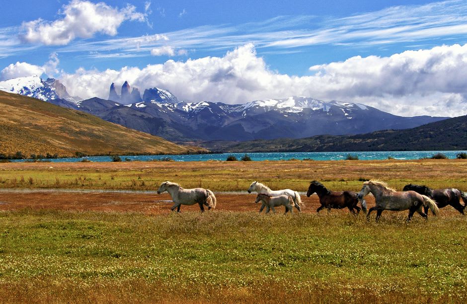
What I keep coming back to is how unfinished the town feels, in a good way — like everyone arrived because of the lake and the caves and just sort of stayed, building what they needed as they went. The Carretera Austral does that to a lot of these places. Nothing here is polished for tourists yet, which means the empanada stand by the gas station is genuinely just a good empanada stand, not a performance of one.
When to go: Visit between November and March; outside that window several boat operators shut down entirely and the town itself feels half-asleep.
Keep exploring
More from Carretera Austral
 carretera-austral
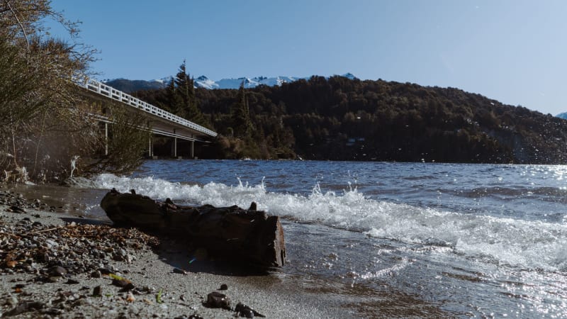
Puyuhuapi
A village of German settler houses and hot springs steaming into Pacific fjords — the Carretera at its most improbably beautiful.
Explore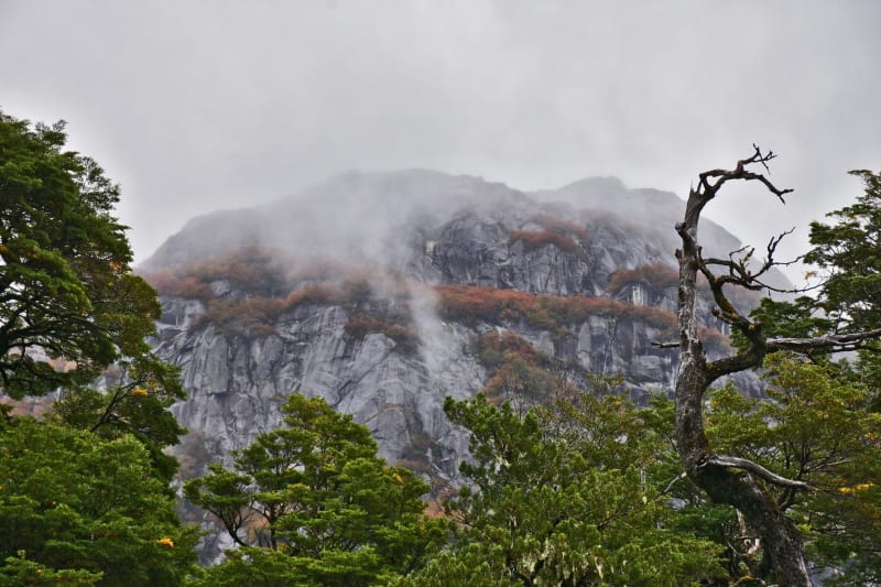 carretera-austral
Parque Nacional Queulat
Home to the Ventisquero Colgante — a hanging glacier that pours ice off a cliff-face above a perfectly still black lake.
Explore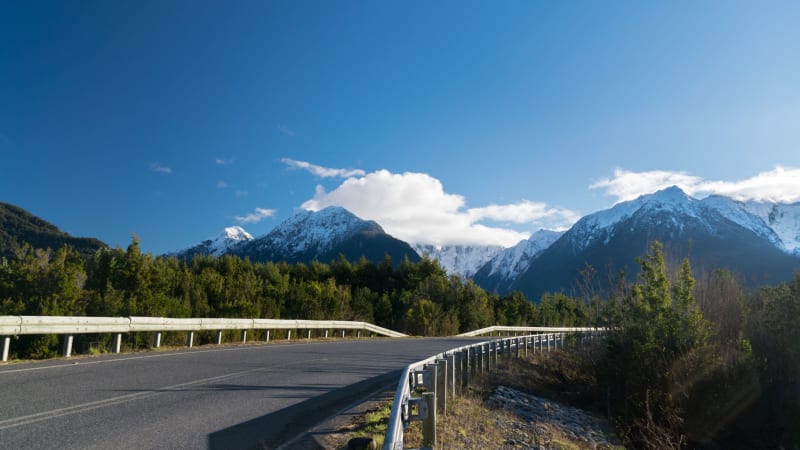 carretera-austral
Valle Chacabuco
A former sheep estancia turned rewilded national park where pumas, huemules, and guanacos have quietly reclaimed Patagonian steppe.
Explore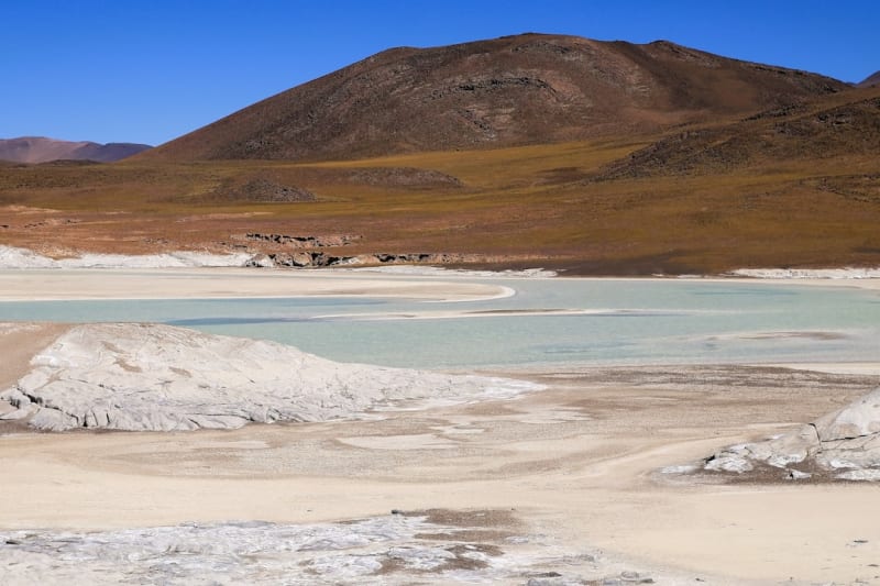 carretera-austral
Ventisquero San Rafael
A massive tidewater glacier calving directly into a remote lagoon, reachable only by boat from the southern end of the Carretera Austral.
Explore carretera-austral
Villa O'Higgins
The last settlement at the end of the road — a village that exists at the literal edge of Chilean geography, where the Carretera stops and the ice field begins.
Explore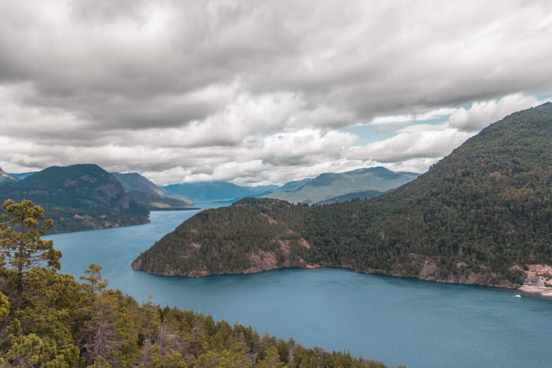 carretera-austral
Caleta Tortel
A wooden village built entirely on cypress boardwalks over a tidal fjord — no cars, no streets, just walkways and water and the sound of boats.
Explore