
Inzer Valley
"The valley is wide and empty and the river moves through it like it's deciding where to go."
A remote river valley in Bashkortostan where the southern Urals reach their most pristine — broad meanders through floodplains bordered by forest-covered ridges that have no roads over them.

The Inzer River rises in the central Bashkir Ural mountains and runs generally southwest before joining the Belaya. The valley it occupies is broad for a mountain valley — not a gorge but a genuine alluvial plain, the river migrating across it over centuries, leaving oxbow lakes and wet meadows alongside the main channel. The ridges on both sides are continuous and forested. There are no roads over them. This matters.
Getting In
The access to the Inzer Valley is the train — specifically, the regional line from Ufa to Beloretsk that runs directly up the valley and stops at a series of small stations serving villages that have no other road connection. This is not an inconvenience. It’s an experience. The elektrichka from Ufa takes about three hours, running along the river for the final hour through scenery that keeps getting better, and the stations — Arasha, Inzer, Kazyrsha — are simple platforms in the forest with no facilities.
I got off at Kazyrsha with a three-day pack and there was nobody else on the platform. A path led to the river, a hundred meters through wet grass. That was the whole arrival.
The Floodplain
The Inzer floodplain is what distinguishes this valley from standard mountain river country. The river braids across a wide plain in places, creating islands and backwaters that are separate ecosystems — beaver dams in the side channels, heron hunting the shallow edges, the main current fast and clear through the center. In flood years the whole plain fills, but in normal summer levels the dry land extends far on both sides of the river.
The meadows along the banks grow a mix of tall grasses and wildflowers in June and July that I found difficult to walk through quickly — there were plants I couldn’t identify, the meadowsweet was head-high in places, and the smell of the wet grass and the cold river together created something I kept stopping to breathe.
The Ural Owl Forest
The ridge forests above the valley floor are old-growth in much of their extent — spruce and fir that have been here long enough for the understory to develop its own character. The fallen logs support multiple stages of decay and the moss on the forest floor in the shaded sections is thick enough to absorb your footfall. I moved quietly and slowly through them, partly for the birds.
Ural owls nest in this region — the large subspecies found in the deep boreal forest — and while I didn’t see one, I heard one calling in the late afternoon from the ridge above my camp. The sound carries through the trees clearly, a deep repetitive call that doesn’t sound like something I’d want to encounter unexpectedly at dusk.
The Bashkir Villages
The villages along the Inzer are small and predominantly Bashkir in ethnic character. The architecture mixes Russian log construction with Bashkir decorative elements — the window surrounds painted in particular colors, the gates carved. The food available in the few village shops is basic, and I carried all my own provisions, but in one village a family offered me tea and the flatbread called kubkymak that I ate four of.
Lia came on this trip. She was the one who accepted the tea invitation, which is how we ended up sitting at a kitchen table with three generations of a Bashkir family, looking at photographs of relatives in Ufa and a daughter studying in Moscow, for ninety minutes in a mixture of bad Russian and good will. The flatbread was excellent.
Moving Through
The valley lends itself to slow travel — three or four days walking upstream, camping in meadows, swimming in the river. There’s no trail infrastructure in the Western sense but the terrain is easy and the navigation simple: follow the river. The ridges on either side require more effort but the views from any of the unnamed high points looking down into the valley are worth the climb.
When to go: Late June through August for warm temperatures and maximum daylight. July is peak season, with warm river water (around 18°C at the valley floor) and long evenings. September is quieter with early autumn color beginning in the birch above the valley floor. Avoid May and early June when the river is in flood and the meadows are waterlogged.
Keep exploring
More from Ural Mountains
 ural-mountains
Mount Iremel
The sacred mountain of the Bashkirs, a twin-peaked massif in the southern Urals where the treeline ends abruptly and the plateau above belongs to the sky.
Explore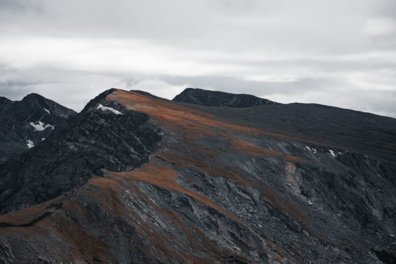 ural-mountains
Konzhakovsky Kamen
One of the Northern Urals' highest summits, a wind-scoured ridge of stone rivers and dwarf birch that I climbed on legs still sore from the marathon two days before.
Explore ural-mountains
Kungur Ice Cave
A five-kilometer network of gypsum caverns on the edge of the Sylva River, half of it frozen year-round into formations that look like something assembled by a very patient glacier.
Explore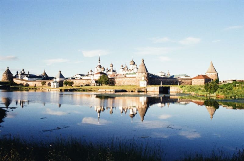 ural-mountains
Kyshtym
A quiet lakeside mining town that gave its name to one of the Soviet Union's worst nuclear disasters, though the accident itself happened miles away in the closed city of Ozyorsk.
Explore ural-mountains
Lake Turgoyak
One of the clearest lakes in Russia, set in a granite bowl in the southern Urals where the water is blue-green enough to seem implausible and the shoreline is almost entirely undeveloped.
Explore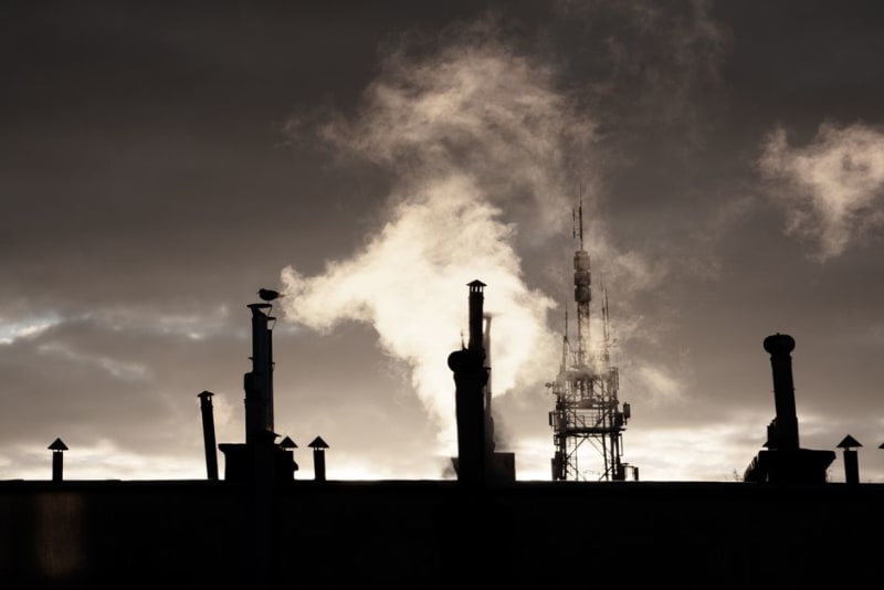 ural-mountains
Magnitogorsk
A steel city built literally on top of an iron mountain, where the border between Europe and Asia runs down the middle of the river.
Explore