Grand Forks
"Grand Forks turned its flood plain into a park, and somehow that says everything about the place."
A prairie river city straddling the Red River where North Dakota meets Minnesota, its flat farmland horizon interrupted only by grain elevators and a downtown rebuilt with quiet resolve after the great flood of 1997. Lia and I biked the greenway that flood built and found a town that turned its worst disaster into its best public space.

Lia and I arrived in Grand Forks not entirely sure what to expect from a city best known, if it’s known at all, for the catastrophic Red River flood of 1997 that submerged most of downtown and forced a citywide evacuation. What we found instead was a quietly confident river town that had rebuilt with real intention — instead of restoring downtown right up to the water’s edge, the city and its Minnesota twin, East Grand Forks, cleared the floodplain entirely and turned it into a sprawling greenway, one of the largest urban river-recreation projects in the country.
The Greenway and the two cities
We rented bikes and spent an afternoon riding the paths that now trace both banks of the Red River, crossing back and forth between North Dakota and Minnesota on a handful of pedestrian bridges without ever quite noticing the state line. The greenway rolls through nearly 2,200 acres of parkland, disc golf courses, and cottonwood groves that flood on purpose each spring so the neighborhoods behind the levees don’t have to. It’s a strange, hopeful kind of infrastructure — a park built explicitly to fail safely, absorbing the river’s temper so the city around it doesn’t have to relive 1997.

Downtown and the university
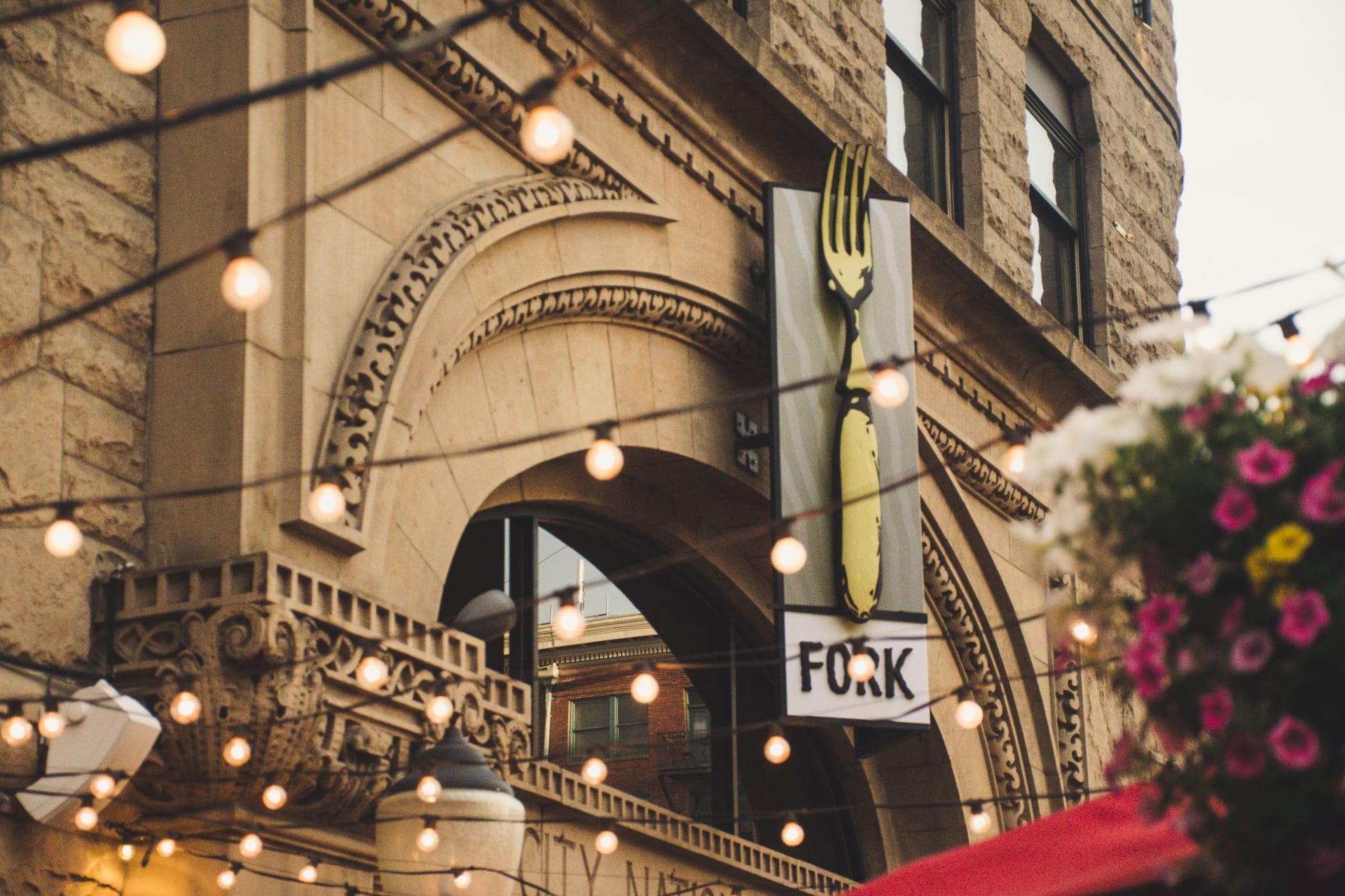
Downtown Grand Forks has come back with a mix of restored brick storefronts and new infill along DeMers Avenue, anchored by the Empire Arts Center, a 1919 vaudeville theater turned community stage where we caught a local jazz ensemble on a Friday night. A few miles south, the University of North Dakota gives the city its steady undercurrent of youth and its unlikely claim to hockey fame — the Fighting Hawks play in the Ralph Engelstad Arena, a marble-and-bronze rink so lavish that locals half-joke it’s the nicest building in the state. We wandered the campus quad past aerospace students heading to class, a reminder that UND’s aviation program is one of the largest in the country, training pilots for a region built on wide-open sky.

Prairie horizons and grain country
Drive a few minutes in any direction and the city dissolves into the Red River Valley’s flat, fertile farmland, some of the richest soil in North America, striped with sugar beet and wheat fields to the horizon. We took an evening drive out past the grain elevators that punctuate the landscape like small steel cathedrals, the sky doing that huge, theatrical prairie-sunset thing it does out here, with nothing tall enough for miles to interrupt it. It’s a landscape that takes some adjusting to after cities with hills and trees, but there’s a clarifying honesty to a horizon that flat.
Getting There
Grand Forks International Airport sits just south of the city with direct flights from several regional hubs including Denver and Minneapolis-Saint Paul, itself about a five-hour drive southeast via I-94 and I-29. Fargo, roughly 75 miles south on I-29, is the nearest larger airport if you’re weighing options. The city itself is easy to navigate by car, and the Greenway’s paved trail network makes biking a genuinely pleasant way to move between downtown, the river, and the university campus in warmer months.
Keep exploring
More of North Dakota
Keep exploring
More from North Dakota
 united-states
Fargo
A prairie city on the Red River that outgrew its wood-chipper reputation into a scrappy, creative downtown of restored neon and craft breweries. Lia and I came expecting flat farmland and left arguing about which dive bar had the better tater tots.
Explore united-states
Valley City
A river town draped across the Sheyenne River valley on a string of bridges, seven of them still standing from the days when the Northern Pacific needed the tallest trestle in the state to cross it. Lia and I spent a slow afternoon walking bridge to bridge, which turned out to be the best way to see a town this size.
Explore united-states
Wahpeton
A Red River border town where North Dakota quietly becomes Minnesota across a bridge you barely notice you've crossed, and where a Gilded Age bonanza farm nearby still tells the wildest chapter of Dakota Territory's boom years. Lia and I came for a quick stop and lingered for the zoo, of all things.
Explore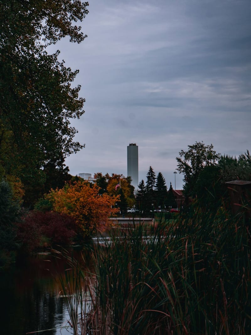 united-states
Devils Lake
A lake town that has spent thirty years fighting its own rising water, where flooded shelterbelts stand like ghost forests just offshore and the walleye fishing is, improbably, some of the best in the country. Lia and I came for a weekend of fishing with a local guide and left slightly obsessed with a lake that keeps swallowing its own roads.
Explore united-states
Rugby
A small railroad town famous for exactly one thing — a stone cairn marking the geographic center of North America — that turned out to have a lot more going on than its highway-sign fame suggests. Lia insisted we take the obligatory photo, and then we found the real reason to stay: a county museum stuffed with more history than its size has any right to hold.
Explore united-states
Bismarck
A quiet capital on the Missouri River where prairie sky meets frontier history at every turn, from a Gothic capitol tower to a reconstructed Mandan earthlodge village. Lia and I expected a pass-through stop and instead found a full, unhurried day of discovery.
Explore