Mount Elgon
"We hiked for two days before I actually understood how big the caldera was — it just kept going."
An ancient extinct volcano straddling the Kenyan border, crowned by one of the largest calderas on earth and laced with waterfall-fed hiking trails.

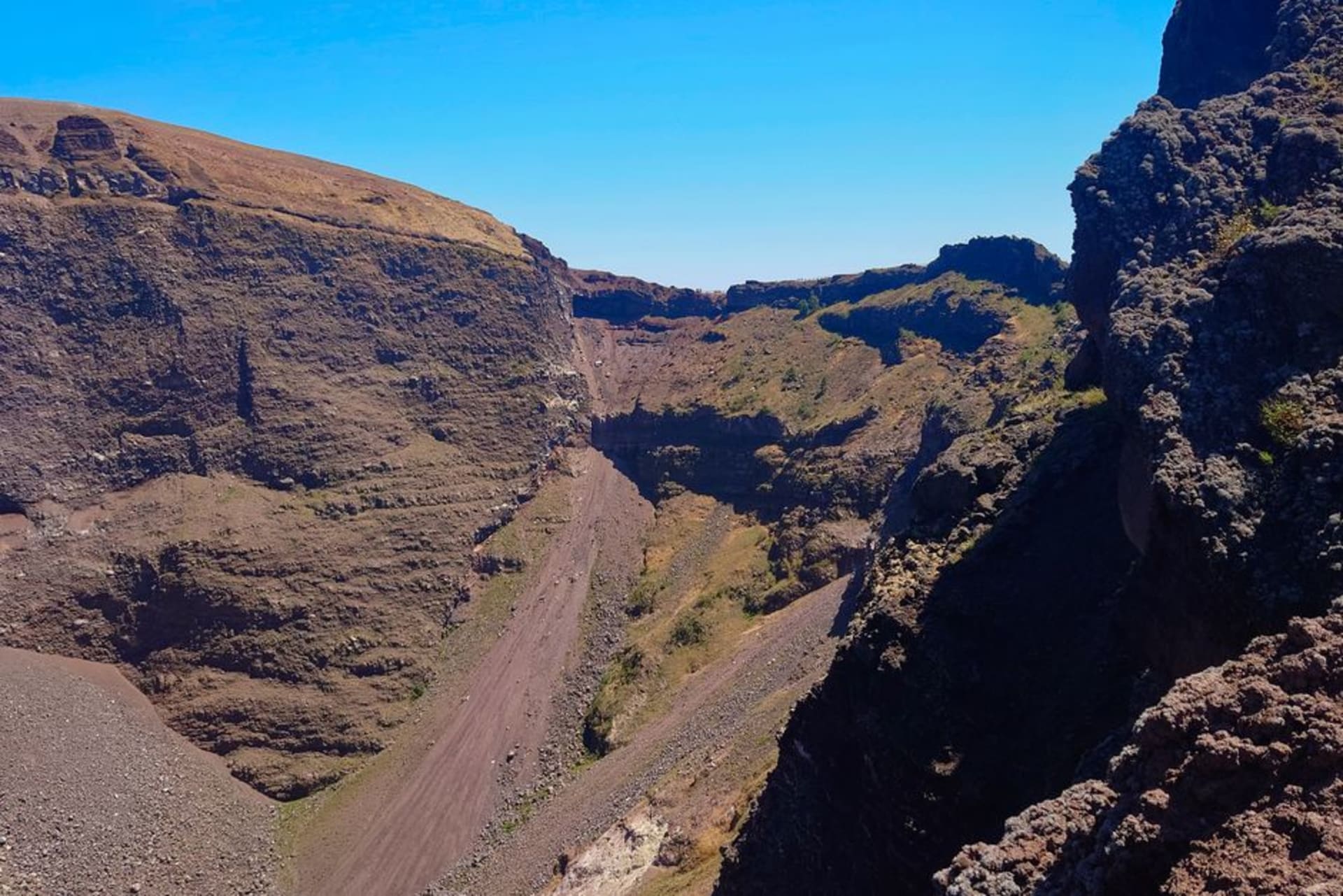
Mount Elgon doesn’t announce itself the way Kilimanjaro or the Rwenzoris do. It’s older, more worn down, and from a distance it looks less like a mountain and more like a very large, very green hill. That’s deceptive. Elgon is an extinct volcano straddling the Kenya-Uganda border, and its caldera — the collapsed crater at its heart — is one of the largest intact calderas in the world, something like 40 kilometers across. You don’t grasp that scale from the base. It only hit me on the second day of hiking, standing on a ridge and realizing the “valley” below wasn’t a valley at all but the crater floor, still miles from the opposite rim.
We based ourselves in Mbale, the town at Elgon’s foot, and did a multi-day trek up through the Sipi side, which is also where the famous Sipi Falls are — three waterfalls tumbling off the mountain’s lower slopes through coffee-growing hills. I’d seen photos of Sipi Falls for years before actually going and worried it would be one of those places that photographs better than it feels. It didn’t disappoint. Standing at the base of the tallest one, getting misted from thirty meters away, watching local kids climb rocks nearby like it was any other Tuesday, felt more alive than the pictures suggested.

The higher we climbed, the stranger the vegetation got — bamboo zones giving way to heather moorland, and eventually the same giant lobelias and groundsels I’d seen at Mgahinga, these odd Dr. Seuss-looking plants that only grow at altitude in a handful of East African mountains. Our guide, who’d been climbing Elgon for something like fifteen years, pointed out hot springs steaming up from the caldera floor and caves that local communities had historically used for salt mining, cutting into rock that bats now occupy in the thousands. We didn’t go deep into any caves — I have limits — but the entrances alone, with bats streaming out at dusk, were worth the detour.

What I remember most, though, is how few other hikers we saw. Elgon gets a fraction of the trekking traffic that Kilimanjaro or even the Rwenzoris pull in, despite being just as dramatic in its own quieter way. For two full days we had the trail essentially to ourselves except for our small support team, and camped one night near the crater rim with a silence so complete I could hear my own heartbeat. Lia said it was the best night’s sleep of the whole trip, cold as it was.
When to go: June to August or December to February, avoiding the heavy rains that turn Elgon’s clay trails into a genuine slog.
Keep exploring
More from Uganda
 uganda
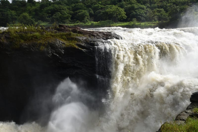
 Murchison Falls
The entire force of the Nile compresses through a seven-meter gap in the rock and the sound hits your chest before you even see it.
Explore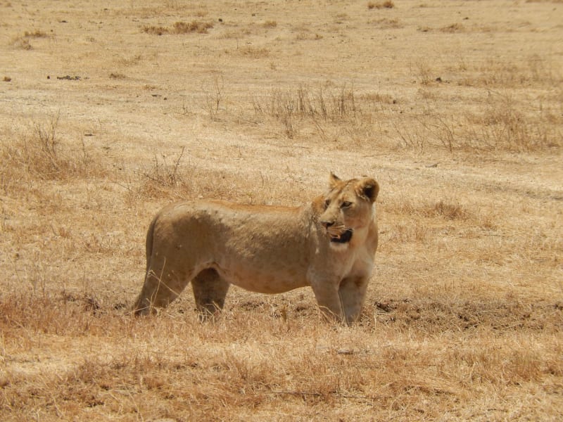 uganda
 Queen Elizabeth National Park
Famous for lions that have figured out trees, crater lakes that glow impossible shades of green, and a landscape where the equator and Africa's western rift happen to cross.
Explore uganda
 Rwenzori Mountains
Ptolemy called them the Mountains of the Moon, which turns out to be accurate: snow above the equator, giant heather forests, and vegetation that belongs to a different planet's idea of Africa.
Explore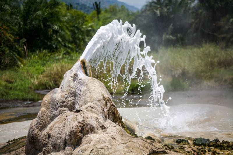 uganda
 Semuliki
A steamy lowland rainforest on the DR Congo border where boiling hot springs hiss out of the ground and rare Congo-basin birds call from the canopy.
Explore uganda
 Sipi Falls
A trio of waterfalls tumbling off the green foothills of Mount Elgon in eastern Uganda, ringed by Arabica coffee farms and some of the friendliest walking country I have found in Africa.
Explore uganda
 Ssese Islands
An archipelago of 84 islands scattered across Lake Victoria, where palm-lined beaches meet forest trails and centuries of quiet history.
Explore