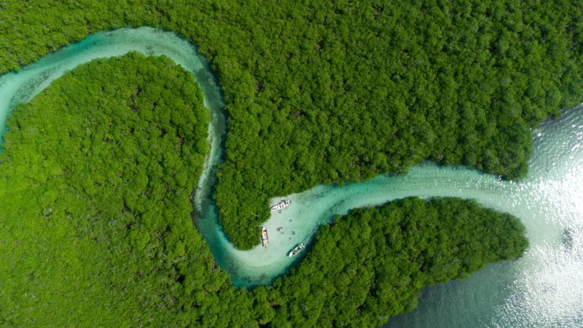
A quiet mangrove town on the west coast that became famous for a shape it cannot actually see from the ground.

I will admit I went to Voh for one photograph, and I am not embarrassed about it. The Coeur de Voh — the Heart of Voh — is a naturally occurring heart-shaped clearing in the mangrove flats just outside town, made globally famous when the French photographer Yann Arthus-Bertrand shot it from a helicopter for his book and later the documentary Home. From the ground it is just mangrove, salt flats, and a low hill; the shape only resolves from a few hundred metres up, which means you either take a microlight flight from the small airstrip nearby or you climb to the Notre-Dame-du-Fatima viewpoint and squint at a partial angle that gives you maybe sixty percent of the postcard.
I did the flight, and it is worth the money in a way few “iconic view” flights actually are. The pilot banks the plane once directly over the clearing, and there it is — a genuinely, unmistakably heart-shaped gap in the mangrove, dark green water tracing the outline like it was drawn with a compass. Nobody planted it. Nobody trimmed it. It is an accident of tidal flow and root growth that happened to look, from exactly the right altitude, like the single most photographed symbol humans have.

Voh itself, the actual town, has almost nothing to do with any of this. It is a working settlement on the west coast plain, cattle and nickel country like most of this stretch, with a supermarket, a church, and a roundabout that somehow felt more significant than it should have. I stopped for a coffee at a small café near the church and got into a genuinely good conversation with the owner about how strange it is to live somewhere famous for a shape you have never personally seen, because you would need a plane to see it and she has never once been up in one. She had a photo of it framed behind the counter, taken by someone else, of a place she lives ten minutes from.

That inversion — living beside something you can only know secondhand — stuck with me more than the flight did, honestly. It says something about how photographs make places, sometimes more than the places make themselves.
When to go: Fly over the Coeur de Voh in the dry season, April through November, when the sky is clearer and the mangrove water is at a level that keeps the outline sharp. Early morning flights avoid the afternoon haze that softens the shape from the air.
Keep exploring
More from New Caledonia
 new-caledonia
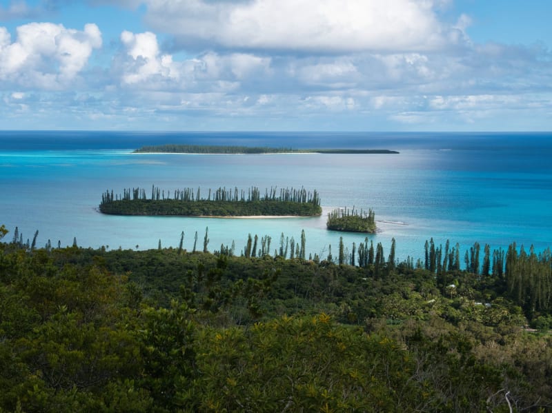
 Yaté
A valley of gorges and blue river pools at the south end of Grande Terre, where the light makes everything look like a painting that hasn't been touched up.
Explore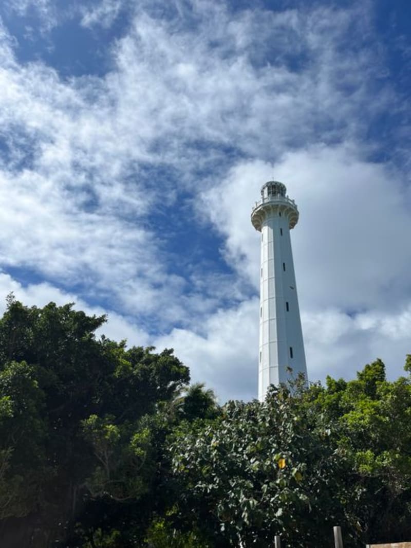 new-caledonia
 Amédée Island
A speck of coral sand off Nouméa crowned by a cast-iron lighthouse that France shipped across the world in pieces and never quite finished being proud of.
Explore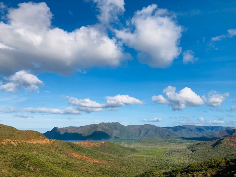 new-caledonia
 Baie de Prony
A ghost town, hot springs, and mangrove labyrinth at the southern tip of Grande Terre, where the island goes quiet in a way that feels geological.
Explore new-caledonia
 Bourail
A cattle town on Grande Terre's west coast where the land smells of red dust and dry grass and the sea is an hour's drive in the wrong direction.
Explore new-caledonia
 Canala
An east coast stronghold of Kanak custom and hot springs, reached by a mountain road that makes you understand why this side of the island stayed independent-minded longer than most.
Explore new-caledonia
 Hienghène
A northern village where black limestone towers rise from the water and Kanak culture feels less like history than the present tense.
Explore