A ring of sand and coral so remote that in 1944 it hid the largest fleet ever assembled, and today it barely appears on a map at all.
Getting to Ulithi is its own kind of filter. There’s a flight from Yap’s main island — a nine-seater that goes when the weather allows and the passenger count justifies it, which is not every day — and then forty minutes later you’re descending toward a lagoon so wide it looks like an inland sea, ringed by a scatter of low islets that from the air barely register as land at all. I landed on Falalop, the atoll’s largest islet, which is maybe a kilometer long. The airstrip takes up a visible fraction of its total area. I remember thinking, as we touched down, that I had never arrived anywhere that felt this genuinely at the edge of things.
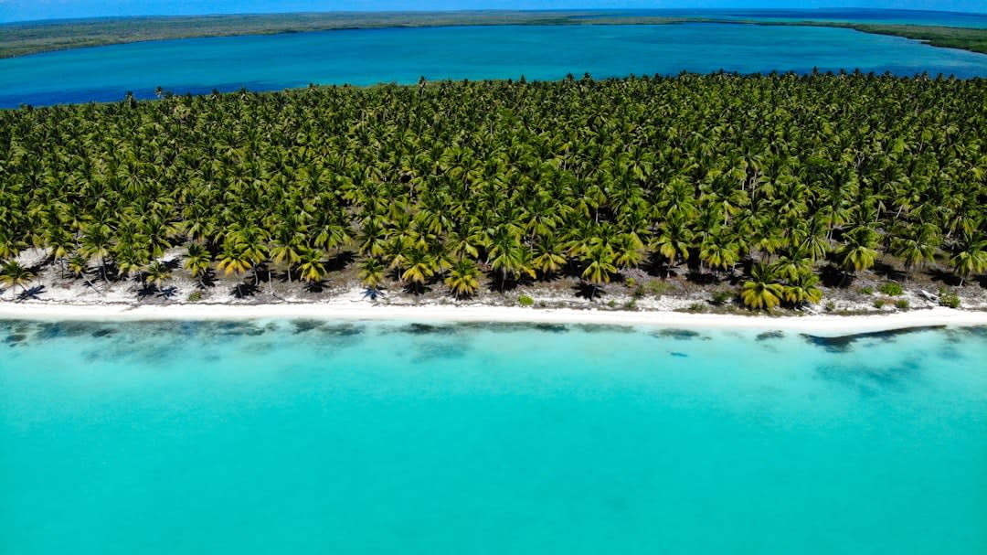
What almost nobody knows, including most people who’ve heard of Micronesia, is that this lagoon was once the single busiest anchorage in the Pacific theater of World War II. In 1944 and 1945, the US Navy staged its entire Third and Fifth Fleets here — over six hundred ships at times, floating dry docks, a de facto city on water housing more than a hundred thousand sailors, all hidden behind a barrier reef in an atoll most of them couldn’t have found on a map beforehand. There’s almost nothing to see of that now. A few rusted fragments half-buried in sand on Falalop, a decommissioned seaplane ramp swallowed by weeds. The Ulithians who live here, a few hundred people spread across the inhabited islets, have gone back to living almost exactly as they did before the war arrived and after it left — outrigger canoes, breadfruit, a matrilineal social structure and a tradition of long-distance navigation by star paths that predates GPS by at least a thousand years.
I spent four days on Falalop and Mogmog, moving between islets by borrowed canoe with a young Ulithian man named Ionathan who’d spent a year working construction in Guam and come home, he said, because Guam had noise he didn’t need. He showed me how his grandfather still read wave patterns to navigate between islets in fog, a skill that is dying here the way it’s dying everywhere but isn’t dead yet. In the afternoons we fished from the reef edge with hand lines and ate what we caught the same evening, usually with taro and whatever fruit was in season. There is no real tourist infrastructure on Ulithi — no guesthouse in the conventional sense, no restaurant, nothing you’d recognize from a brochure. You arrange to stay with a family, you bring gifts and cash, and you accept that the electricity runs on a generator schedule that has nothing to do with your preferences.
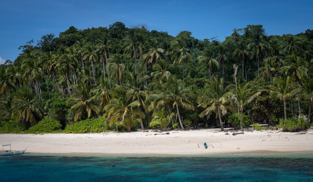
When to go: The dry season from December to April gives the most reliable flights out of Yap, though “reliable” on Ulithi is a relative term — plan for delays of days, not hours. This is not a place to visit on a tight schedule.
Keep exploring
More from Micronesia
 micronesia
 Weno
The scruffy, potholed, unexpectedly warm main island of Chuuk, where the war history sits on land instead of underwater.
Explore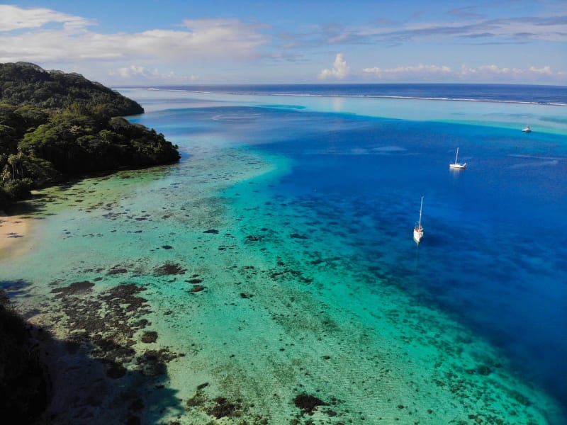 micronesia
 Yap
Where men still wear loincloths on a Tuesday and limestone discs the size of cars serve as currency tracked by oral memory alone.
Explore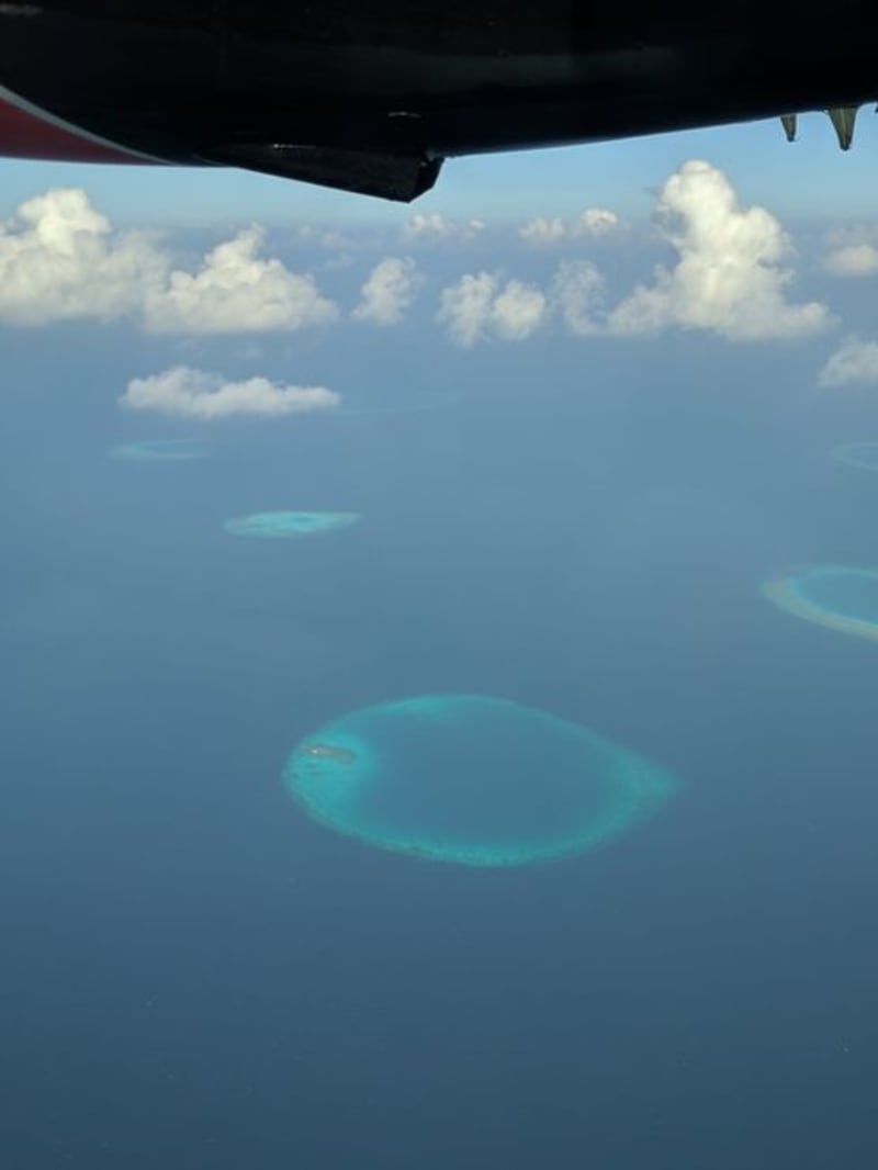 micronesia
 Bikini Atoll
A ghost fleet of sunken warships resting beneath a lagoon still recovering from twenty-three nuclear detonations, reachable only by liveaboard.
Explore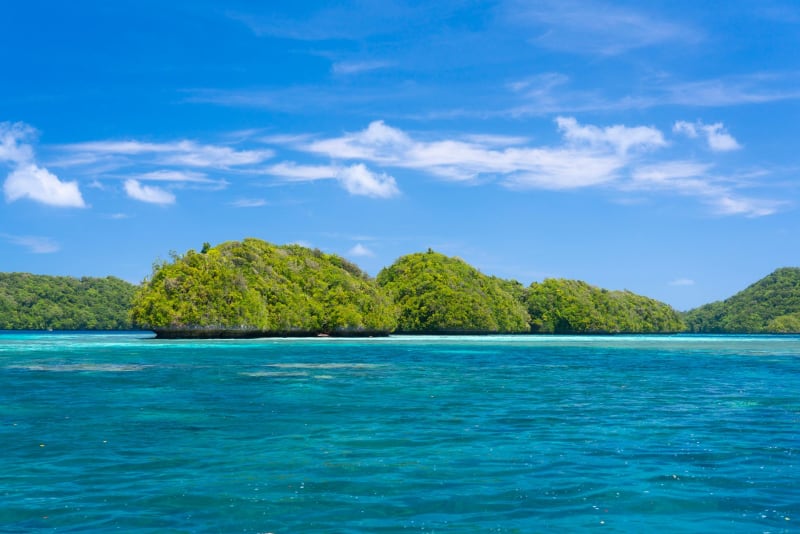 micronesia
 Chuuk Lagoon
Sixty Japanese warships sleep on the seafloor here, coral-draped and inhabited, the most haunting dive site on the planet.
Explore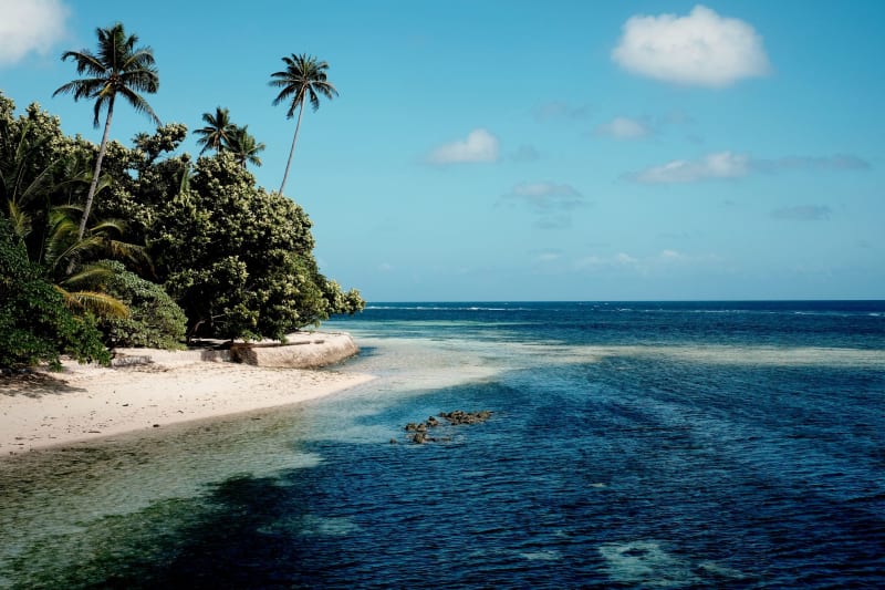 micronesia
 Colonia, Yap
The smallest capital town in the Pacific, where stone money discs line the main road and the pace of life makes slow look rushed.
Explore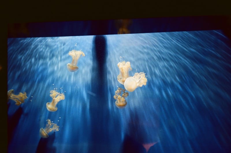 micronesia
 Jellyfish Lake
A landlocked lake in Palau where millions of golden jellyfish have evolved to lose their sting — and swimming among them is genuinely surreal.
Explore