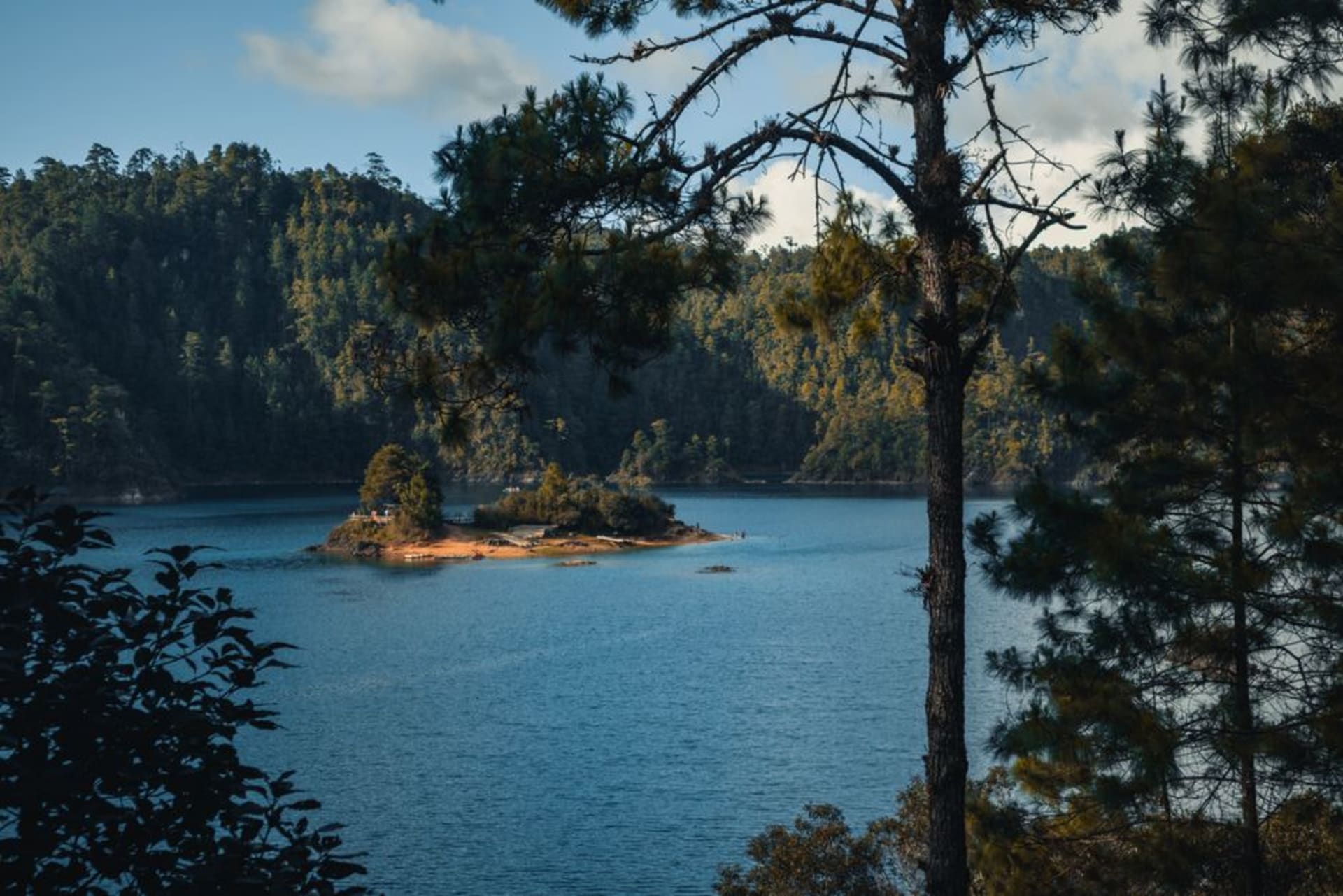
Laguna de Sánchez
"I drove up in a thunderstorm and the clouds rolling over the pine ridges made me pull over on the roadside and sit for an hour without moving."
A high-altitude reservoir folded into the Sierra Madre Oriental two hours south of Monterrey, where pine slopes meet cold water and the air carries a clarity that feels geologically improbable after the basin heat below. Regiomontanos have been making the drive for decades; I arrived by wrong turn and stayed considerably longer than planned.

I was trying to find something else — possibly the Horsetail waterfall, possibly just a cooler afternoon — when the GPS lost confidence somewhere on the Carretera Rayones and I ended up on a road that narrowed as it climbed. The pine trees thickened. The temperature dropped. And then the lake appeared below a ridgeline through a curtain of August rain, silver and flat except where the storm was working its way across the surface from the west. I pulled over at a bend with nowhere particular to park and stayed there for nearly an hour without moving. I was not lost anymore. I was just somewhere I had not expected to be.
The Lake at 1,800 Meters
Laguna de Sánchez sits at roughly 1,800 meters in a fold of the Sierra Madre Oriental that feels geographically improbable given how close Monterrey is. The city bakes in a basin famous for summer heat that pushes into the forties; two hours south you are standing at the water’s edge in a fleece wondering whether you packed well enough. Regiomontanos know this arithmetic by heart. On weekends through July and August the campgrounds around the lake fill with families who have driven up specifically to not be in the valley — camp chairs arranged toward the water, coolers, children who have been told repeatedly not to run near the edge. The lake itself is a reservoir, created by a dam on the Río Pilón, but the engineering origin does nothing to diminish the effect: pine-covered slopes descend to the water on three sides, the air smells like somewhere further north than Mexico can reasonably claim to be, and the silence of a mountain morning before the weekend crowd arrives is the kind of thing you stop noticing only after you have been sitting in it for too long.

Orchards, Caldo, and Flour Tortillas
The road up from Rayones passes through the municipio de Galeana, and here the orchards start — mostly apple and pear, the trees pruned low and wide, spaced in the particular geometry of commercial fruit cultivation. Roadside stalls appear in season, roughly August through October, selling bagged manzanas, cajeta de manzana in glass jars, and local cheeses that are sharper than anything I find in the markets back in Puerto Escondido. Near the lake entrance there is a loose cluster of simple restaurants — plastic chairs, handwritten menus, no laminate — where the dominant offering is arrachera and carne asada over oak, served with flour tortillas because this is Nuevo León and corn tortillas at a norteño grill would be an anthropological event. I ate a bowl of caldo de res at a roadside comedor whose name I did not write down, run by a woman who told me the elevation improved the broth. I was not in a position to disagree, and also she was right.

What the Time Actually Looks Like
The honest answer about what to do here is less than you might plan and more than enough. Bring a jacket regardless of what Monterrey’s forecast says — the temperature difference between the basin and the lakeshore can be twelve degrees by late afternoon, more after a storm passes through. The camping spots along the eastern shore are basic but functional, and arriving Thursday evening before the weekend crowd makes a material difference to the experience. If camping is not the plan, Rayones has rooms above at least two of its restaurants and a small hotel that appeared operational when I last drove through. There is a ridge path above the lake’s western shore that I followed for forty minutes before losing the trail in the pines; I am not certain it goes anywhere specific, but the view back down to the water through the tree trunks was sufficient justification.

Getting There
From Monterrey take Highway 85 south toward Linares, then follow signs for Iturbide and Rayones. The total distance is roughly 130 kilometers, but the mountain road from Rayones adds significant time — plan two to two and a half hours, more if you stop in the orchards. The road is paved throughout but narrow after Rayones. A compact car is entirely sufficient; high clearance is unnecessary unless you intend to explore unpaved tracks around the lake perimeter.
Keep exploring
More of Nuevo León
Keep exploring
More from Nuevo León
 mexico
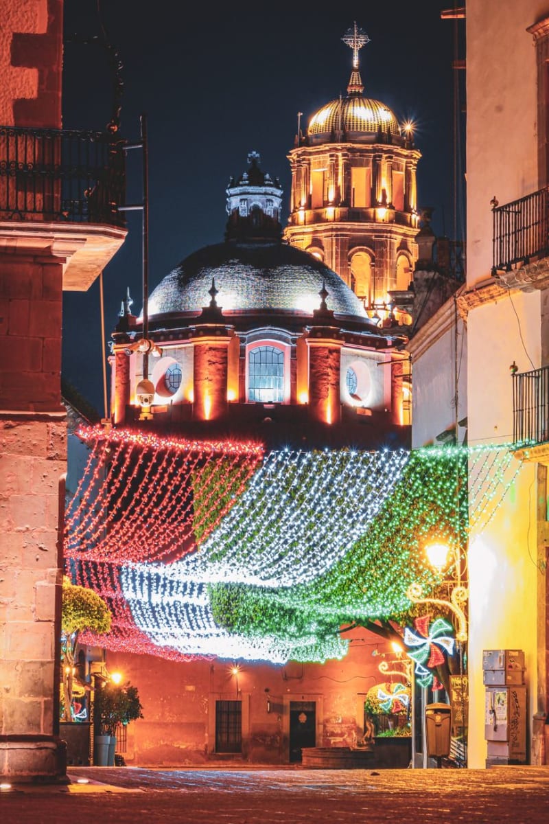
 Santiago
A mountain town forty-five minutes from Monterrey in the Sierra Madre Oriental with a 40-meter waterfall, apple orchards in the valley, and the specific function of being the place where a large industrial city goes to breathe.
Explore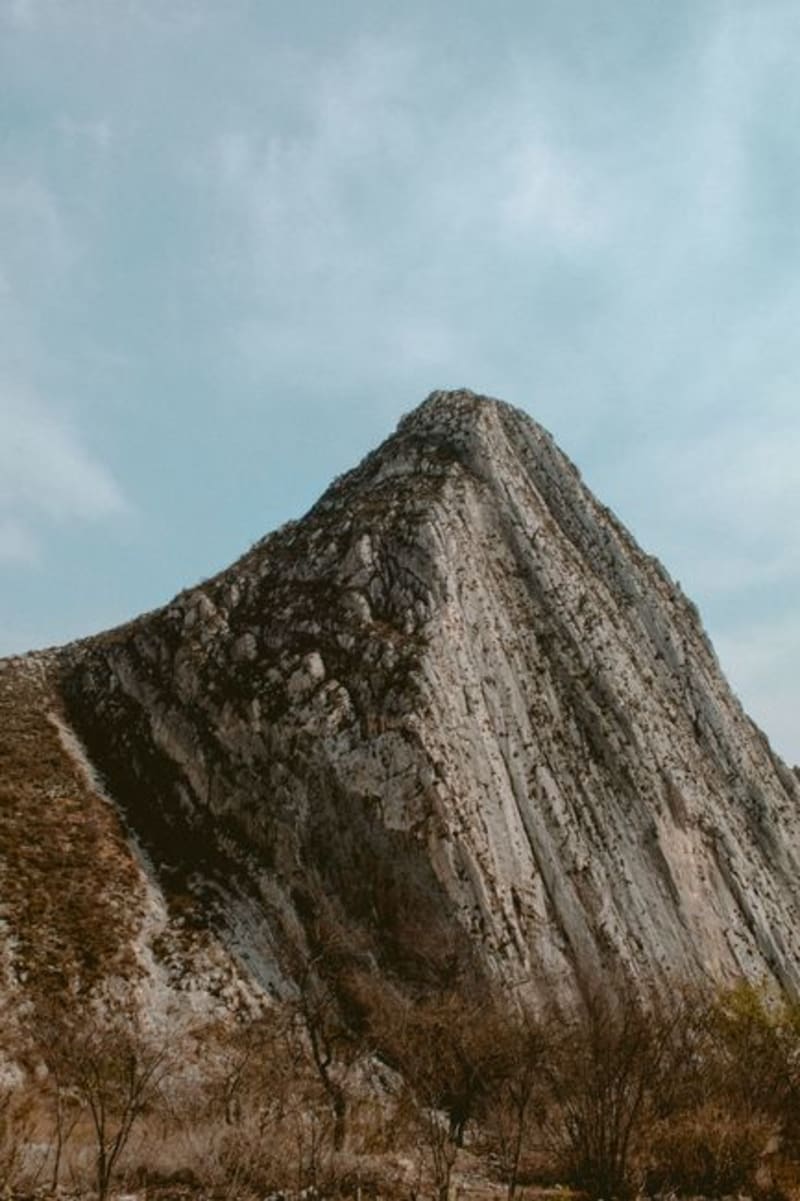 mexico
 Santiago Nuevo León
An hour south of Monterrey in the Sierra Madre foothills, Santiago is the mountain escape that regiomontanos treat as their private property — waterfalls, canyon rivers, and a weekend market that makes the drive worthwhile even when the skies are grey.
Explore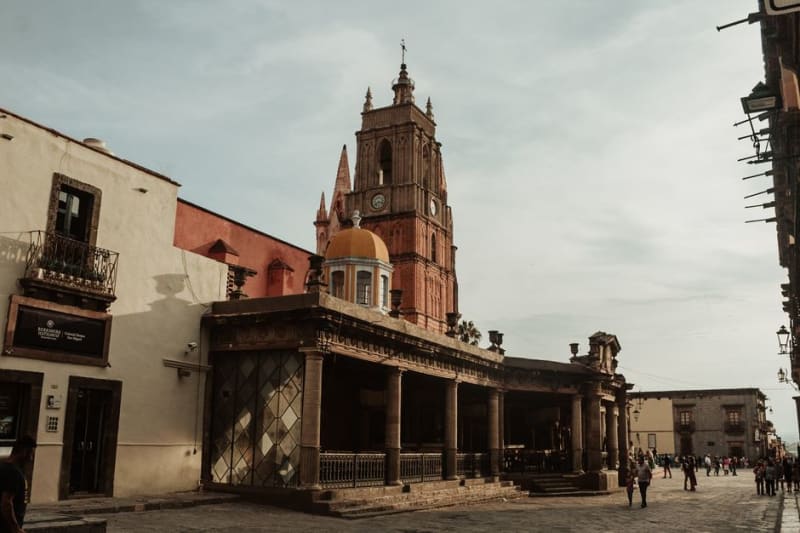 mexico
 Allende, Nuevo León
A colonial town south of Monterrey where the Río Ramos cuts through limestone hills and the weekend market draws regiomontanos back to something slower. The old centro has the unhurried quality of a place that became charming without trying.
Explore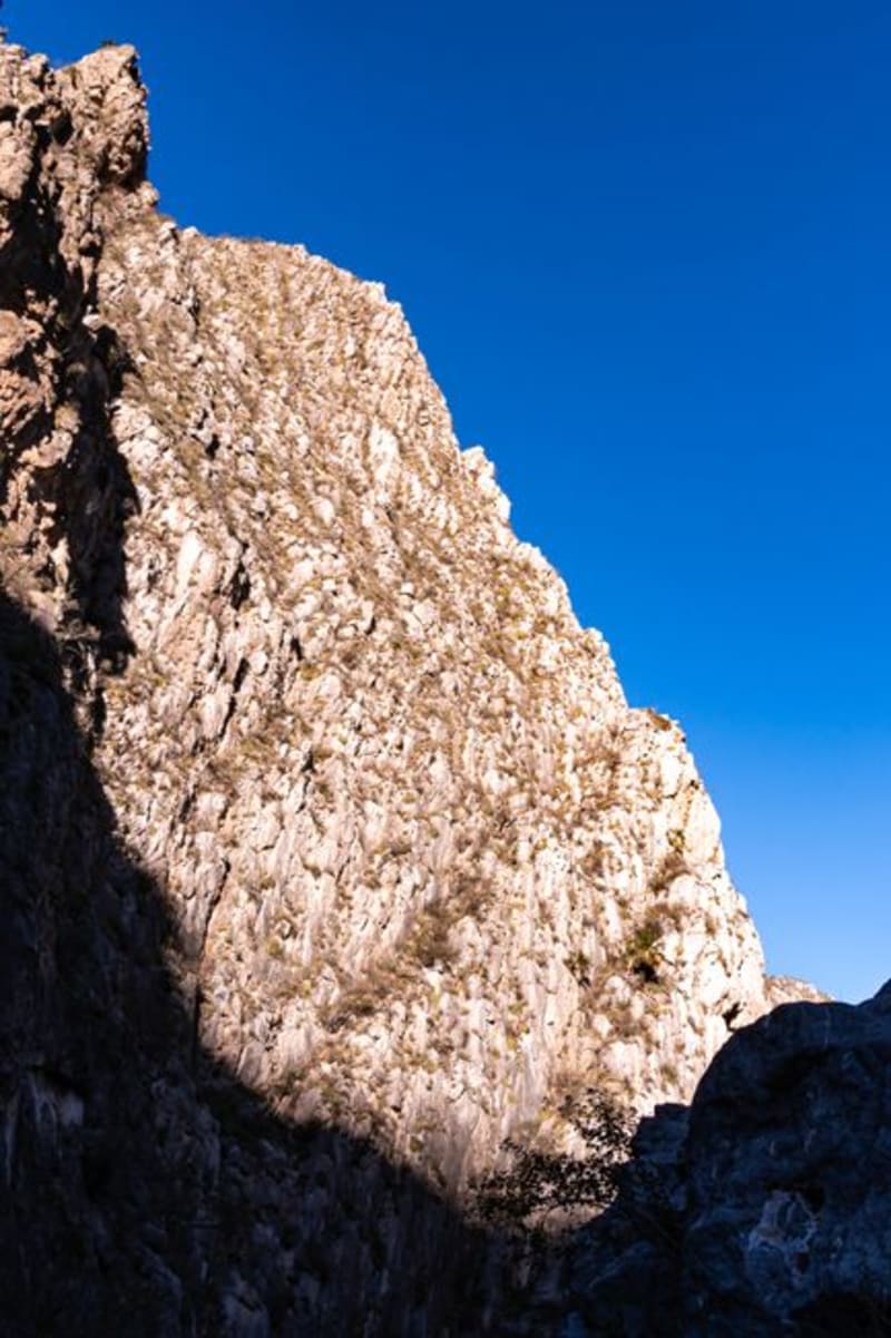 mexico
 Rayones
A village of perhaps eight hundred people lodged where two Sierra Madre canyons converge, reached by forty kilometers of gravel from Santiago — which is exactly why it still has the quality of a place that hasn't noticed it's supposed to be a destination.
Explore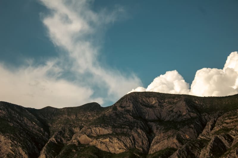 mexico
 Monterrey
Mexico's industrial capital in a canyon of mountains — a city of extraordinary natural setting, world-class contemporary art, norteño culture, and the best cabrito in the country.
Explore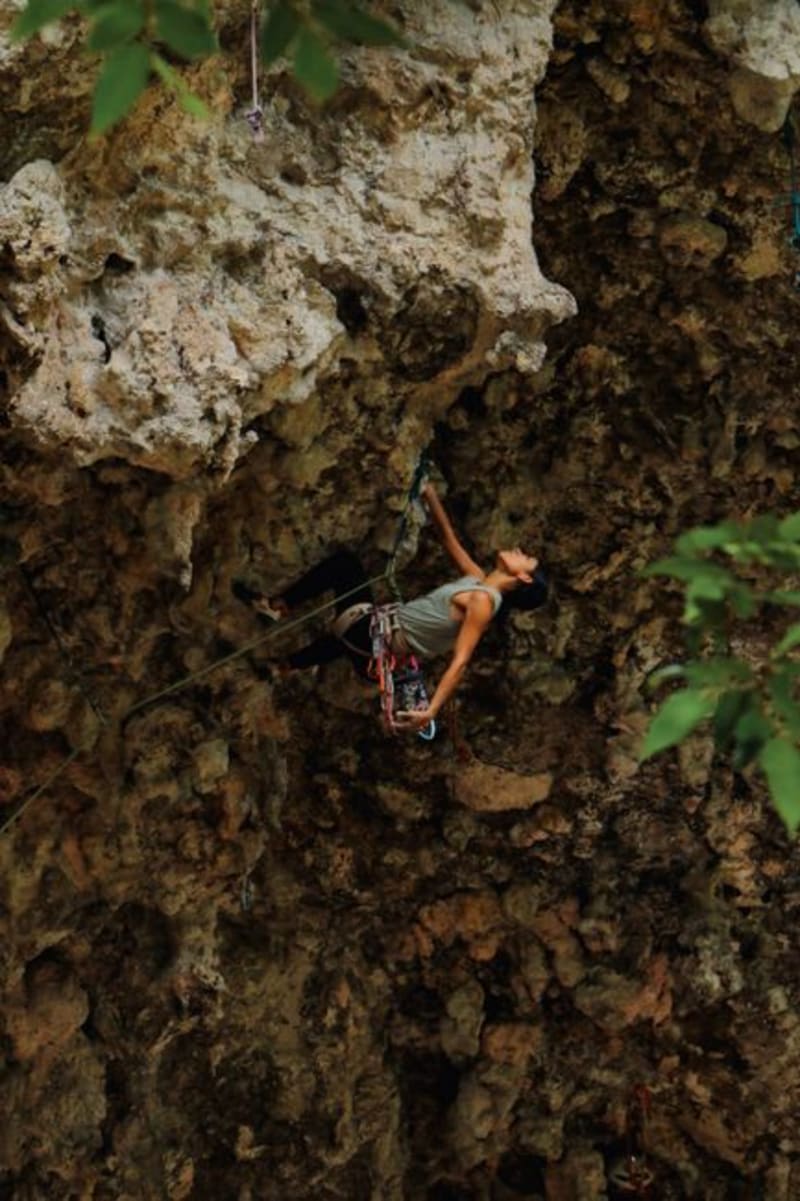 mexico
 Potrero Chico
A narrow limestone canyon in the sierra above Hidalgo, Nuevo León, where walls rise over a thousand meters and climbers from across the world come specifically to touch the rock. Even if you never leave the ground, the scale of it does something to your understanding of what mountains are.
Explore