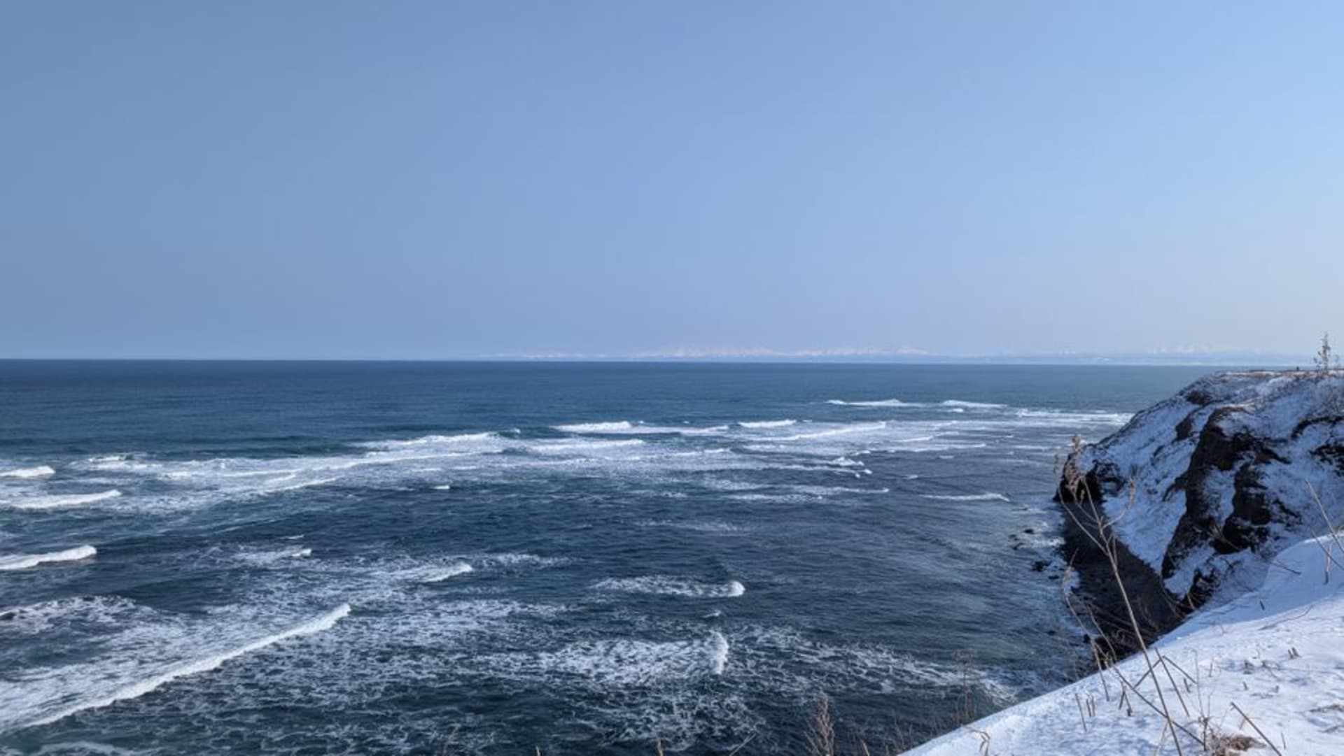
Sadamisaki Peninsula
"Lia kept turning her head left and right like she couldn't decide which sea to look at."
One of the narrowest peninsulas of its length in all of Japan, a long blade of land jutting west from Ehime so slender that a single ridge road offers views of both the Seto Inland Sea and the Uwa Sea at once. It ends, after miles of cherry trees and fishing coves, at Shikoku's westernmost lighthouse.

Neither of us had heard of the Sadamisaki Peninsula until a friend in Matsuyama mentioned, almost in passing, that there’s a road in Ehime narrow enough to see two different seas from the same spot without moving your feet. That sounded implausible enough that we rented a car the next morning just to check. The peninsula juts out from Ehime’s western coast like a thin blade pointed at Kyushu, and the drive out along its spine turned out to be one of the strangest, most disorienting pieces of road either of us has taken in Japan — hills narrow enough that you could sometimes see water shimmering on both sides through gaps in the trees, like driving along the top of a wall.
The ridge road between two seas
The main road out to the cape runs almost the entire spine of the peninsula, climbing and dipping along a ridge so narrow in places that the land drops away to water within a few hundred meters on either side. To the north the Seto Inland Sea sat flat and hazy, dotted with small islands; to the south the Uwa Sea had a rougher, more open texture, closer to open ocean. Lia made me pull over at least four times just so she could stand at a gap in the guardrail and swivel between the two views, genuinely delighted by the geography of it. It’s not a dramatic road in the way of a coastal highway with cliffs and crashing surf — it’s stranger than that, a quiet, slightly vertiginous sense of having almost no land left under you at all.
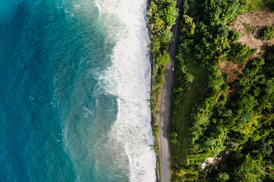
Fishing coves and scattered cherry trees
Down off the ridge, small fishing hamlets sit tucked into coves on both coastlines, connected to the main road by short steep spurs that made our rental car’s little engine work harder than I expected. We stopped in one such cove where nets were drying on racks along the seawall and an old fisherman was untangling line with the unhurried patience of someone who has done this every morning for sixty years. Scattered cherry trees line stretches of the road, planted decades ago by residents rather than any tourism board, and though we weren’t there in bloom season, Lia made me promise we’d come back in spring just for that. The whole peninsula has this quality of being cared for quietly, without any expectation of an audience.

The lighthouse at the end of Shikoku
The road finally runs out at Sadamisaki itself, Shikoku’s westernmost point, where a white lighthouse stands above cliffs looking straight out toward the Bungo Channel and, on a clear day, the hills of Kyushu across the water. We walked the last stretch on foot along a windswept path, gulls wheeling overhead, and stood at the railing for a long time not saying much. There’s something satisfying about physically reaching the edge of an island the way we did — driving its entire narrowing length until there was simply no more road left, just water on three sides and a lighthouse holding the line.

Getting There
The peninsula extends west from the area around Yawatahama and Ikata, both reachable by JR train and local bus from Matsuyama or Uwajima. A car is really the only practical way to experience the ridge road properly, since public buses along the peninsula are infrequent and don’t linger at the scenic pull-offs the way you’ll want to. Give yourself the better part of a day for the round trip out to the cape and back, and fill the tank before you leave the main coast — there’s very little in the way of services once you’re out on the peninsula itself.
Keep exploring
More of Shikoku
Keep exploring
More from Shikoku
 japan
japan Saijo
A quiet Ehime city that drinks straight from the mountain, where artesian springs bubble up in doorways and rice paddies alike beneath Ishizuchi, the highest peak in western Japan. It is a place of clear water, sacred stone, and autumn festival drums.
Explore japan
japan Shimanto
A green fold of rural Kōchi wrapped around the Shimanto, often called the last clear river in Japan. Here bridges duck under the floods instead of fighting them, and the days move at the pace of slow water.
Explore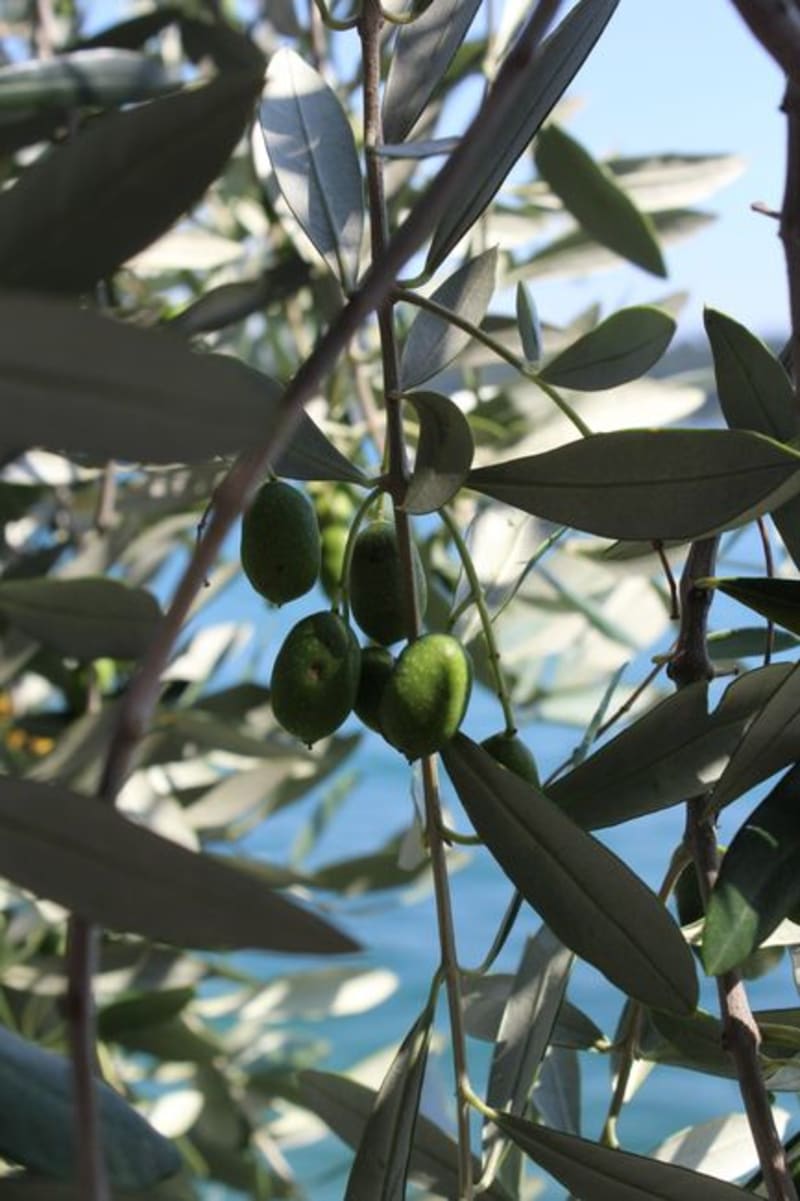 japan
japan Shōdoshima
An Inland Sea island that smells of olives and the sea, where a Mediterranean daydream sits beside a raw stone gorge and soy-sauce breweries fill the air with dark, sweet steam. Shōdoshima was our slow goodbye to the Setouchi.
Explore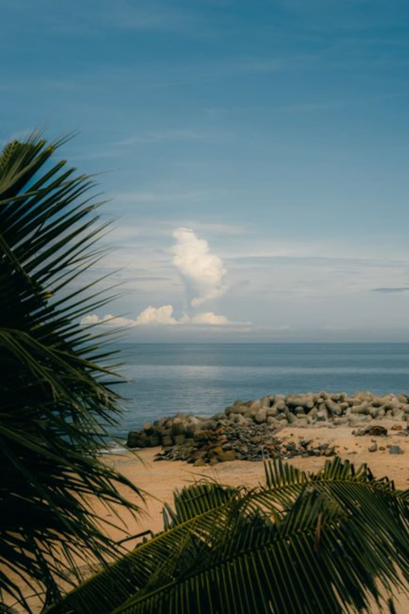 japan
japan Sukumo
A quiet bay town in the far southwestern corner of Kochi, where the days end in sunsets so famous they've been given a name. There is little to 'do' here, which is precisely the point — Sukumo is a place to slow down and watch the light leave the water.
Explore japan
japan Susaki
A working Pacific port in Kochi still shipping cargo out on routes to Korea and China, giving it a harbor grit that more touristed coastal towns nearby have lost. It's also the birthplace of nabeyaki ramen, a bubbling clay-pot bowl of soy-chicken broth, chikuwa fish cake, and a raw egg cracked in tableside.
Explore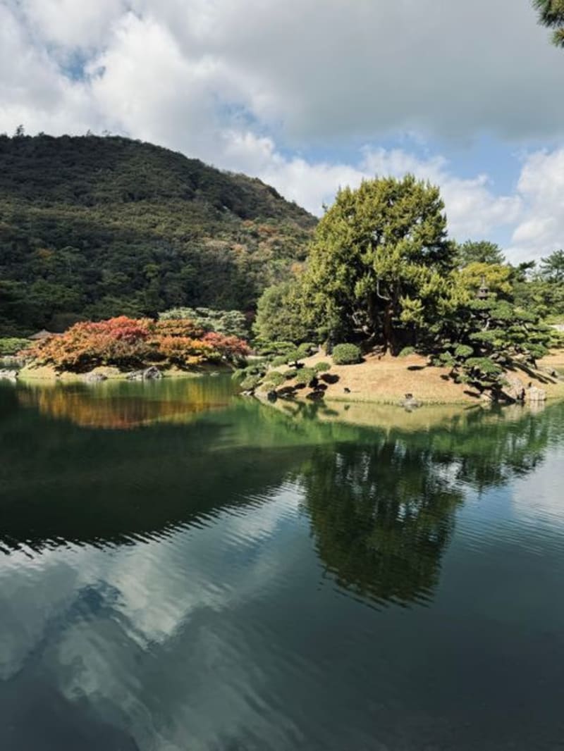 japan
japan Takamatsu
A port city where a feudal garden meets the tide and a castle keeps its feet in seawater. Takamatsu gave Lia and me our first taste of the Inland Sea, and our first bowl of udon that mattered.
Explore