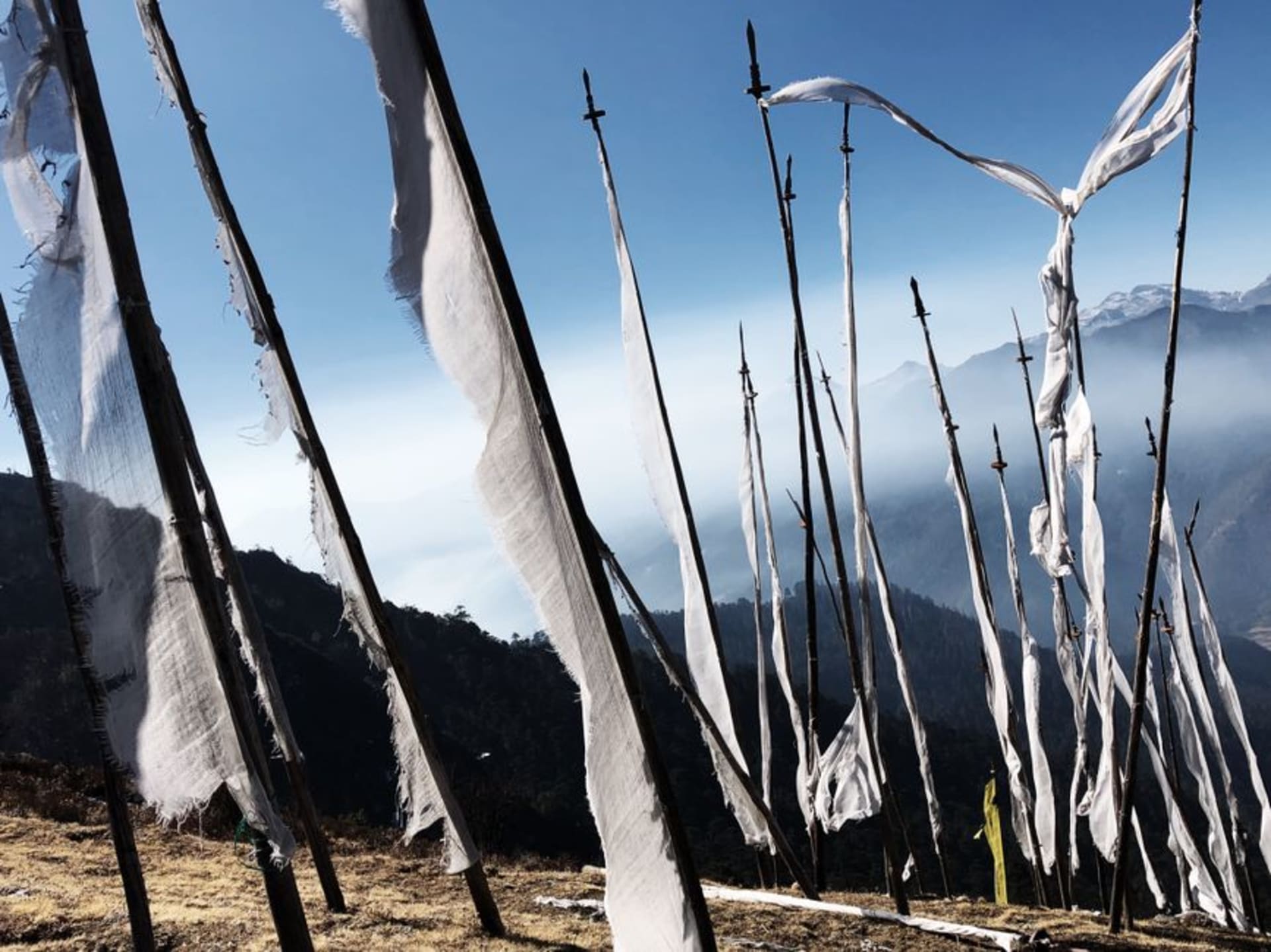
Bhutan's highest motorable pass, where prayer flags snap in the wind above the clouds and Jomolhari waits for a clear sky.

Lia and I left Paro before sunrise because our driver, Karma, insisted the mountains “show themselves” only in the first light. The road to Chele La climbs for almost two hours, switchback after switchback, the pine forest thinning until it disappears entirely and you’re left with bare rock, wind, and sky. At 3,988 meters, it’s the highest motorable pass in the country, and I felt it the second I stepped out of the car — that light-headed, slightly breathless feeling that makes you laugh at nothing in particular. Karma just smiled and handed us both an extra layer from the trunk, like he’d done this a hundred times before.
What hits you first isn’t the altitude, though. It’s the flags. Thousands of them, strung in long lines between poles and boulders, red and yellow and blue and white and green, snapping so hard in the wind they sound like small flags of paper. Pilgrims and travelers have been leaving them here for generations, and standing in the middle of it, turning slowly, I couldn’t tell where one string ended and the next began.

We got lucky with the sky that morning — no clouds pushing in from Haa valley yet — and Karma pointed north toward a jagged white ridge he named as Jomolhari, one of the eastern Himalaya’s great peaks. I’d seen photos before the trip, but nothing prepares you for how the whole range just sits there, close enough to feel personal. Lia found a flat rock near the edge and just sat, not talking, for a good ten minutes. I don’t think either of us has done that anywhere else on this trip.
There’s a trail that drops off the western side of the pass toward Kila Nunnery, one of Bhutan’s oldest, built directly into a cliff face below the ridge. We only walked partway down — Karma had warned us it’s a longer descent than it looks, and we had a flight to catch out of Paro the next day — but even from a distance, seeing those small white buildings clinging to rock with nothing but valley beneath them was enough to understand why nuns have chosen this specific silence for centuries.

When to go: We went in November and got postcard visibility, which locals confirmed is typical between October and December. Just know that a heavy winter snowfall can close the road for a day or two even in that window, so build a little flexibility into your Paro-to-Haa plans.
Keep exploring
More from Bhutan
 bhutan
 Dochula Pass
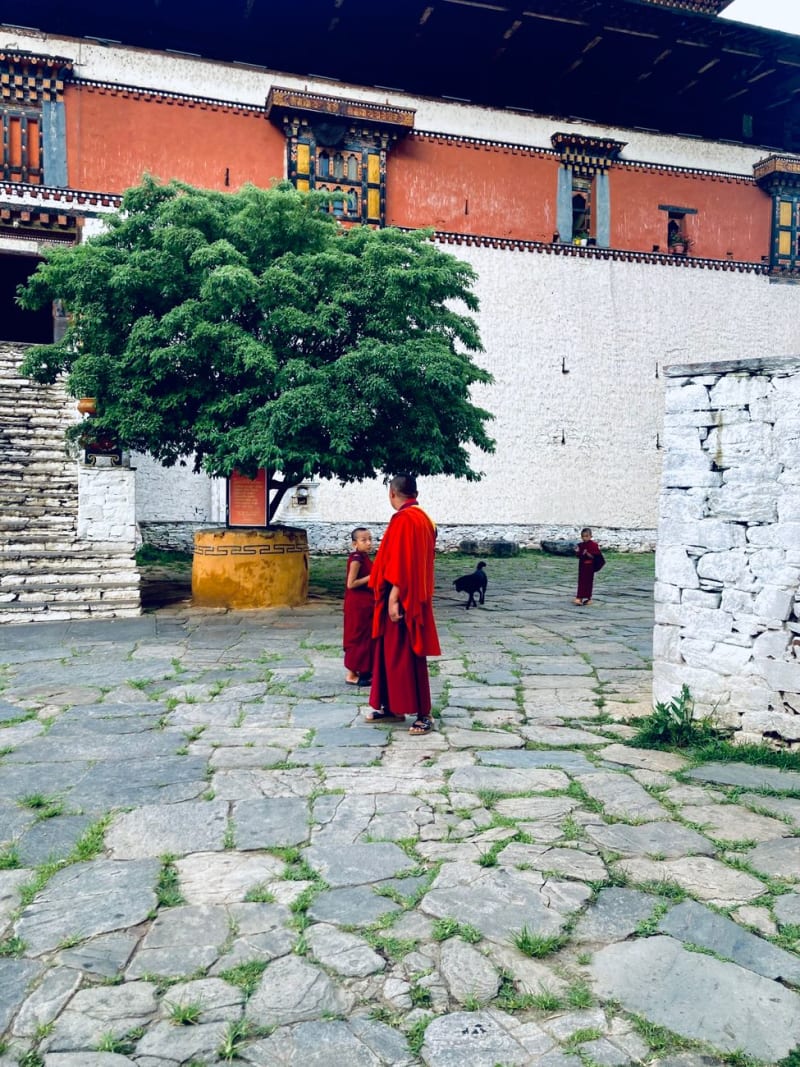
A 3,100-metre mountain pass on the road from Thimphu to Punakha, crowned with 108 memorial chortens and, on a clear morning, a wall of snow Himalayas.
Explore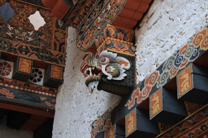 bhutan
 Gasa
A restored dzong at the end of a two-day walk from Punakha, natural hot springs at the base of Himalayan peaks, and the silence that comes from being somewhere genuinely hard to reach.
Explore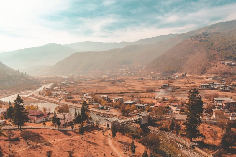 bhutan
 Haa Valley
One of Bhutan's most remote and least-visited valleys, sealed from the outside world until 2002, where twin medieval temples face each other across an empty field.
Explore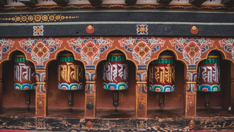 bhutan
 Lhuentse
The ancestral seat of Bhutan's royal family, a white dzong perched impossibly above a northern gorge, and the weavers who make the finest textiles in the kingdom.
Explore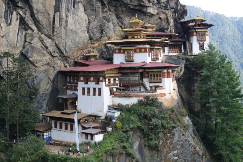 bhutan
 Paro
The valley where you land sideways between pine-covered mountains and where the kingdom's most sacred monastery hangs from a cliff face.
Explore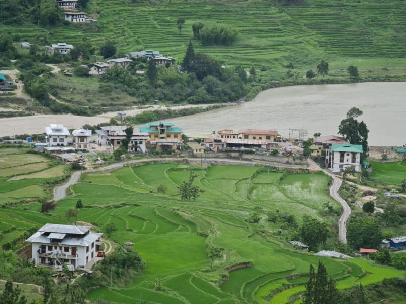 bhutan
 Phobjikha Valley
A glacial bowl valley where black-necked cranes fly in from Tibet each winter and the whole country seems to hold its breath waiting for them.
Explore