
Roraima Tepui
"We slept on a mountain that three countries can't agree how to divide, and none of that mattered once the fog rolled through camp."
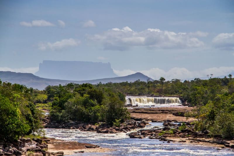
A flat-topped 'lost world' mountain rising sheer above the savanna, its summit shared by Venezuela, Brazil, and Guyana.

Nobody warns you enough that Roraima is a six-day trek before it’s a mountain. We started from Paraitepui, the last Pemón village reachable by road, and spent two full days just crossing the savanna to reach the base, flat grassland broken by rivers you ford in your boots because drying them out afterward is easier than pretending you’ll find a dry crossing. Lia counted eleven river crossings on day two alone. Our guide, a Pemón teenager who’d clearly done this walk more times than he’d admit, just kept saying “ya casi” in a tone that stopped meaning anything by the third time.
The climb itself, La Rampa, is the one day everyone talks about, a nearly vertical path up a break in the sandstone cliff that otherwise runs unbroken for kilometers in every direction. It’s steep enough that you’re using your hands as much as your feet, threading between waterfalls that pour straight off the summit plateau, and somewhere around hour four the vegetation changes completely, ferns and mosses that don’t belong on the same continent as the dry savanna two thousand meters below.

What’s up there is genuinely nothing like anywhere else I’ve been, and I understand now why Conan Doyle used this exact mountain as his model for The Lost World. The summit isn’t a peak, it’s a plateau of black rock carved by millions of years of rain into canyons and basins and freestanding towers, a maze you need a guide to navigate because it’s easy to lose sight of your own group behind a boulder. Little crystal pools scattered across the rock, which our guide called jacuzzis, are lined with quartz crystals you’re not supposed to take but everyone eyes anyway. The triple border marker, the actual point where Venezuela, Brazil, and Guyana meet, sits out there on the plateau too, and we stood with one foot in each country feeling more absurd than triumphant.
We camped two nights under rock overhangs called hoteles, which sounds nicer than it is, a shallow ledge with just enough room for a few tents pressed against the cliff. The cloud comes and goes constantly up there, entire valleys of mist rolling across camp and clearing again within minutes, and at night the temperature drops hard enough that the crystal pools we’d been wading through that afternoon felt like a memory from somewhere warmer.

Coming down took less time than going up but hurt more, my knees remember that trek better than they remember most of Patagonia. What stays with me isn’t any single vista, it’s the strangeness of the whole plateau, a landscape that looks like it belongs on a planet still figuring itself out, sitting there quietly at the corner of three countries that mostly leave it alone.
When to go: Trek between December and April, the dry season, when the river crossings on the savanna approach are manageable and the summit trails aren’t a mudslide.
Keep exploring
More from Venezuela
 venezuela
 Angel Falls
A 979-meter curtain of water dissolving into mist before it reaches the jungle floor of Canaima National Park.
Explore venezuela
 Canaima and Angel Falls
The world's highest uninterrupted waterfall drops 979m from a tepui mesa in Venezuela's Gran Sabana.
Explore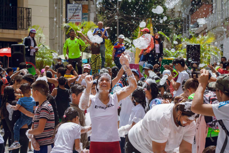 venezuela
 Caracas
A city of four million people stuffed into a narrow Andean valley, running at a speed that seems unsustainable and somehow sustains itself, held together by arepas and the stubbornness of Caraqueños.
Explore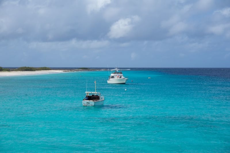 venezuela
 Chichiriviche
A low-key fishing town where dented lanchas ferry you out to the white sandbars and coral cays of Parque Nacional Morrocoy.
Explore venezuela
 Colonia Tovar
A misty mountain town of timber-framed houses and German dialect, founded by Black Forest settlers two hours from Caracas.
Explore venezuela
 Coro
A whitewashed colonial city of earthen mudbrick houses standing between arid dunes and the Caribbean coast.
Explore