Lake Powell & Glen Canyon
"Glen Canyon is the most beautiful place I've been to that I'm also deeply ambivalent about."
A reservoir created by flooding one of the most spectacular canyon systems on Earth — complicated to visit, impossible to forget, and changing faster than most travel guides acknowledge.

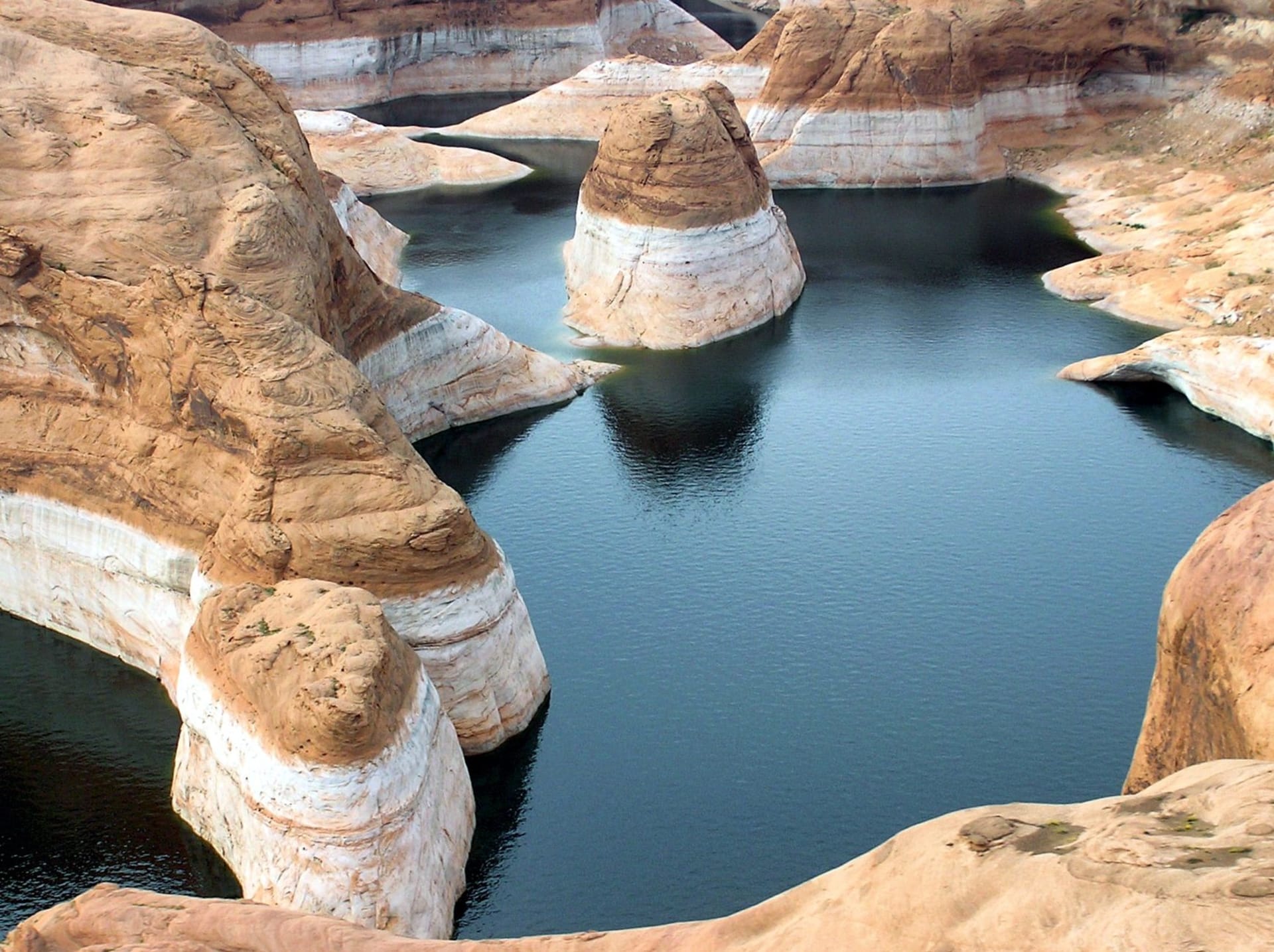
Lake Powell is the reservoir created in the 1960s by flooding Glen Canyon, which many people who saw it before the dam was built described as equal to or surpassing the Grand Canyon in beauty. The canyon system is still there, mostly underwater. The Colorado River runs into the reservoir and exits through Glen Canyon Dam near Page, Arizona. The lake that resulted is extraordinary — 186 miles of blue-green water cutting through red canyon walls, accessible by houseboat and kayak in ways that the original canyon never could have been — and the flooding of what preceded it is one of the more consequential acts of erasure in American environmental history.
I hold both things at once and find it uncomfortable, which seems like the right response.
Antelope Canyon
Antelope Canyon is technically two separate slot canyons — Upper Antelope and Lower Antelope — on Navajo land near Page. Both are accessible only through Navajo-licensed tour operators, and both are, without equivocation, among the most photographed places on Earth. The walls are smooth Navajo sandstone carved by flash flood waters into shapes that curve and flow and catch light in a way that photographs do not adequately convey because the light is moving, constantly, as the sun tracks overhead.
I went to Lower Antelope Canyon, which requires descending ladders and offers more dramatic depth. The tour groups are managed in waves and the canyon is narrow enough that you’re always conscious of the people around you, which is the experience’s one significant limitation. When a shaft of light drops from the opening above and catches the suspended dust at 11am, turning it into something visible and golden, nobody in the group spoke. That said something about the place.
Horseshoe Bend
Three miles south of Page on Highway 89, a 1.5-mile round-trip trail leads to the rim above Horseshoe Bend — the 270-degree meander of the Colorado River, visible from a cliff that drops 1,000 feet straight to the water. It’s one of the most replicated photographs in the Southwest, shot from above with a wide-angle lens, and the viewing platform now has safety barriers because enough people stood too close to the edge without them.
I went at sunrise, which is the right call. The crowd that materializes by 9am is significant enough to reshape your experience of the place. At 6am, walking the trail with a headlamp and arriving at the rim as the canyon below turned from shadow to rust-orange, the scale and strangeness of the place was entirely available.
Houseboating on the Lake
Lake Powell makes most practical sense to explore by water, and the houseboat rental industry at Wahweap Marina has been running since the 1960s. A houseboat trips allows access to canyon arms that no road touches — places where the canyon walls close in to twenty feet on either side, the water turns turquoise from reflected sandstone, and the silence is broken only by the sound of water moving against rock.
The lake level has dropped significantly in recent decades due to drought and reduced inflow. Side canyons that were fully navigable twenty years ago now end in mud flats. The white bathtub ring of mineral deposits on the canyon walls marks where the waterline used to be. It’s a visible record of loss that’s difficult to look at and impossible to ignore.
Rainbow Bridge
Rainbow Bridge, accessible only by boat (or a multi-day hike), is the largest natural bridge on Earth — 290 feet high, 270 feet across — and was considered sacred by several Indigenous Nations before the lake surrounded it. The lake level has dropped enough in recent years that the original trail approaches are partially walkable again. I saw it from a boat, which felt both inadequate and like the only option I had.
When to go: Late spring (May) and early fall (September–October) for comfortable temperatures and navigable water. Summer heat on the lake and canyon walls is extreme — upwards of 45°C — though the water offers relief that the canyon parks don’t. Antelope Canyon tours must be booked weeks in advance in high season. Winter closes the canyon to photographers but offers a quieter, colder version of the experience.
Keep exploring
More from Utah
 utah
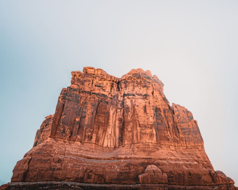
utah Moab
A small desert town that became the adventure capital of the Colorado Plateau, sitting between two national parks and the Colorado River like a comma between clauses.
Explore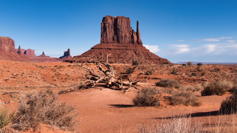 utah
utah Monument Valley
Three sandstone buttes so iconic they've become shorthand for an entire idea of the American West — and they're still bigger and stranger in person than any film suggested.
Explore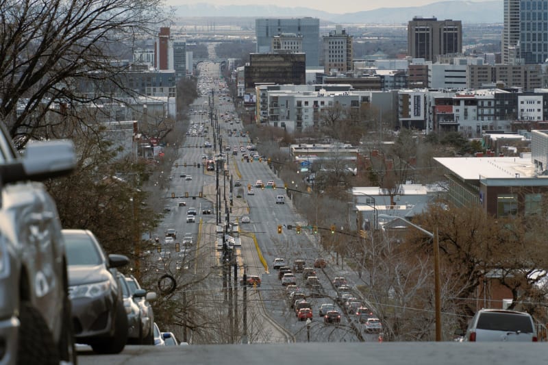 utah
utah Park City
A silver-mining boomtown that reinvented itself as a ski resort and then again as the home of Sundance — Mountain West wealth with a Main Street that still remembers being a saloon.
Explore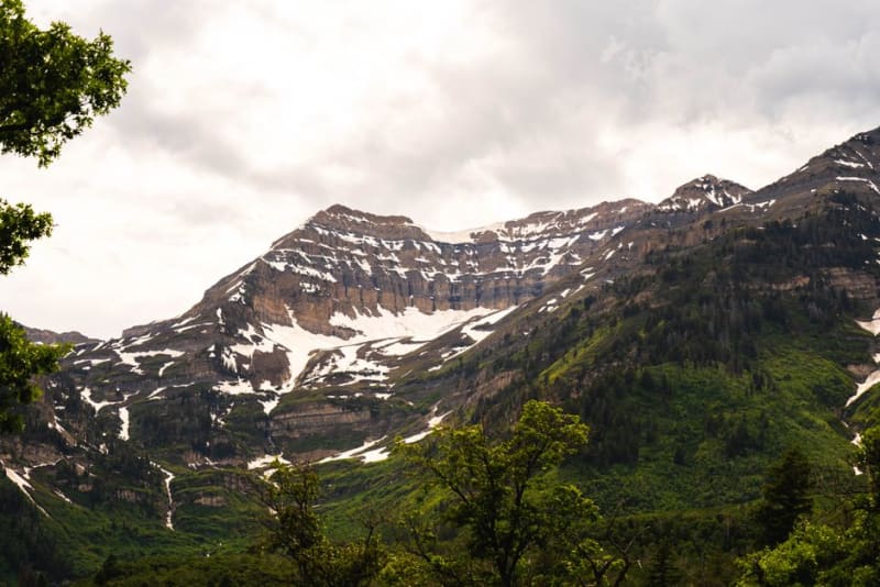 utah
utah Provo
A college city at the mouth of Provo Canyon, sitting beneath Mount Timpanogos with easy access to waterfalls, canyon hikes, and Utah Lake.
Explore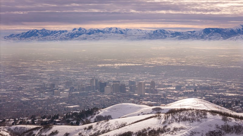 utah
utah Salt Lake City
A grid city laid out with the precision of religious conviction, hemmed by mountains on three sides and a lake that smells like nothing in the natural world should.
Explore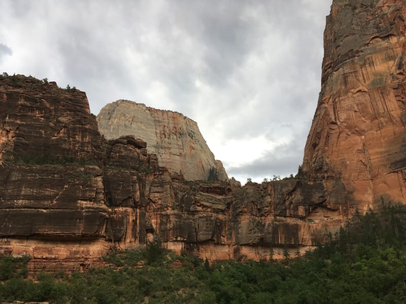 utah
utah Zion National Park
A cathedral of sandstone so vertical and so red it makes your neck ache just standing at the canyon floor.
Explore