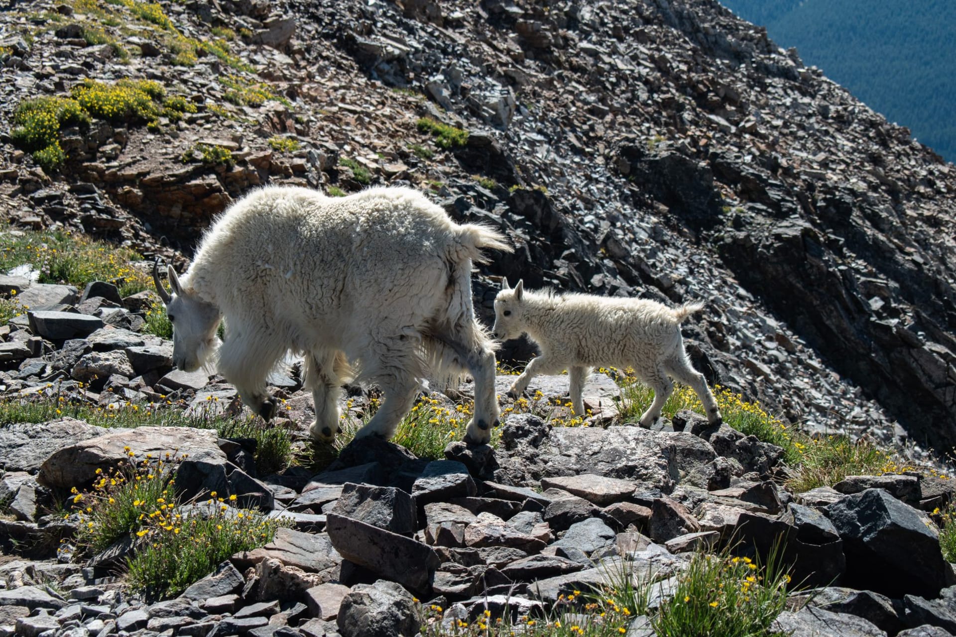
A tiny Ozark river town where antique shops crowd a century-old depot district and the clear Spring River draws canoeists all summer. Lia and I came for a lazy float trip and lingered an extra afternoon poking through dusty storefronts full of unlikely treasures.

We floated into Hardy the way most visitors do — literally, paddling a canoe down the last bend of the Spring River before hauling out near the old railroad depot. The water here runs clear and cold straight out of Mammoth Spring upstream, and by mid-July the town’s population of under a thousand swells with tubers and canoeists drifting past storefronts that look almost unchanged since the depot’s 1920s heyday. Lia, sunburned and pleasantly exhausted, declared it the most relaxed river town she’d ever floated through.
Old Hardy Town’s antique row
A single block of Main Street, dubbed Old Hardy Town, holds one of the densest concentrations of antique and craft shops in the Ozarks, all housed in early-1900s brick and clapboard buildings built for the Missouri and North Arkansas Railroad. We spent a slow afternoon working through them — a shop selling nothing but vintage fishing lures, another stacked floor to ceiling with Ozark pottery, a third that turned out to be half bookstore, half taxidermy museum. Lia bought a hand-thrown mug from a potter who’d been working the same wheel in the same shop for thirty years and could tell you the whole town’s history without pausing for breath.

Floating the Spring River
The Spring River is spring-fed and runs a steady, chilly current year-round, which makes it one of the most popular float streams in the Ozarks even in the height of summer heat. We rented a canoe from an outfitter just outside town and spent three unhurried hours drifting past limestone bluffs and gravel bars, stopping once to swim in a deep green pool below a low bridge. Trout fisherman worked the banks near Many Islands Camp, and a family of otters slipped off a log as we passed, barely disturbing the surface.

Getting There
Hardy sits in the far northeastern corner of Arkansas, about two hours north of Little Rock via U.S. Highway 67/167, or ninety minutes southeast of Springfield, Missouri, making it an easy weekend drive from either direction. The nearest commercial airport is Northwest Arkansas National Airport, roughly two and a half hours west, though most visitors arrive by car with a canoe or cooler already strapped to the roof.
Keep exploring
More of Arkansas
Keep exploring
More from Arkansas
 united-states
Mena
A mountain gateway town beneath Rich Mountain, where a scenic drive along the Talimena skyway unspools ridge after forested ridge of the Ouachitas. Lia and I came for one overlook and ended up chasing the sunset along the entire mountain road, unwilling to turn back.
Explore united-states
Jonesboro
A Delta college town perched on the edge of Crowley's Ridge, where fried catfish comes with a side of live music and the flatness of the rice fields suddenly buckles into forested hills. Lia and I came for one night and stayed two, mostly because of a mural-covered alley downtown neither of us wanted to stop photographing.
Explore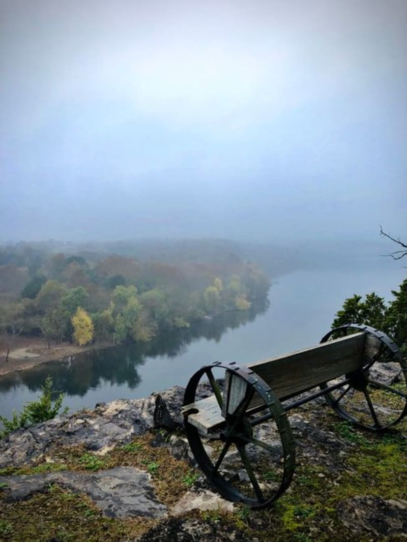 united-states
Batesville
Arkansas's oldest town, wrapped around a bend in the White River where the Ozark foothills first start to rumple up out of the Delta. Lia and I spent a lazy afternoon on the water here and an even lazier evening on a courthouse-square bench, which is more or less the whole point of Batesville.
Explore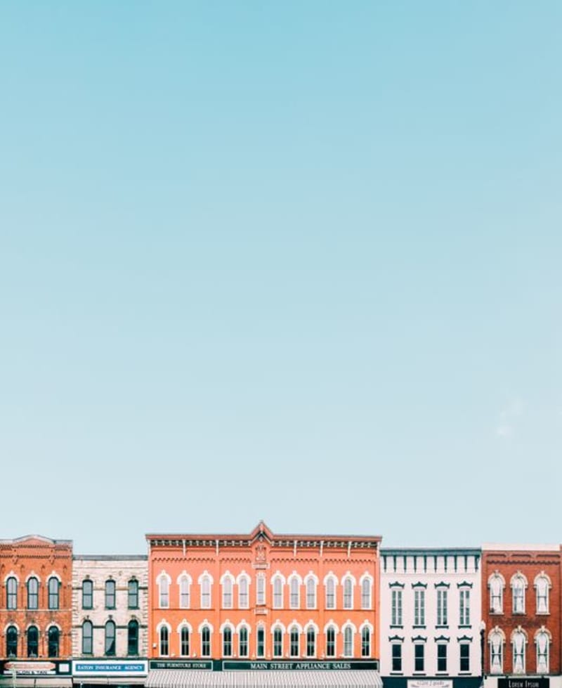 united-states
Van Buren
A brick-and-gaslamp river town across the Arkansas River from Fort Smith, where a century-old excursion train still leaves from the same depot it always has. Lia and I spent an afternoon window-shopping Main Street and came home with a cast-iron skillet we absolutely did not need.
Explore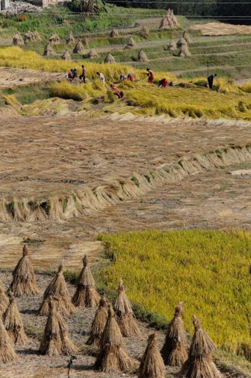 united-states
Stuttgart
The self-proclaimed Rice and Duck Capital of the World, sitting in the middle of the flooded Grand Prairie where rice fields turn to duck-hunting flats every winter. Lia and I visited in the wrong season for hunting and the right one for rice harvest, which turned out to be its own kind of spectacle.
Explore united-states
Calico Rock
A tiny White River town built into a limestone bluff so steep that half its old storefronts sit on stilts above the street below. Lia and I found it by accident, following signs off Highway 5, and ended up staying for sunset because neither of us could stop taking photos of it.
Explore