
Chornohora
"The wind on that ridge was strong enough that I had to shout to be heard three feet away, and I loved every second of it."
The highest ridge in the Ukrainian Carpathians, a long exposed spine of grassy peaks I hiked for two days to stand on Hoverla, the country's roof.

Chornohora was the physical high point, literally and otherwise, of my whole Carpathians trip. I’d read that Hoverla, at just over two thousand meters, was Ukraine’s tallest peak, and I’d assumed — wrongly — that it would feel like a modest hill after some of the volcanoes I’ve climbed near where I live now in Mexico. It didn’t. The scale of the ridge itself is what gets you: Chornohora isn’t one summit, it’s a long chain of them, bald and grassy above the treeline, stretching for kilometers with barely a tree or a building in sight once you’re up there.
I did it as a two-day hike with a guide named Taras who’d grown up in a village at the base of the range and clearly could have done the route blindfolded. We started in forest, thick beech and spruce, the kind of trail where you’re constantly stepping over roots and listening for water, and then somewhere past the treeline the whole landscape opened up into rolling green humps that looked more like Scotland than what I’d pictured for Ukraine. We camped a night near a small mountain hut, ate soup heated on a gas burner, and watched the light go orange and then grey over ridgelines with names I couldn’t pronounce and Taras patiently repeated for me twice each.

Summiting Hoverla itself was almost anticlimactic in the best way — no crowds, no infrastructure, just a modest metal cross and a plaque, and a 360-degree view over the entire range that made the two days of walking feel completely worth it. Taras told me Ukrainians consider the climb something of a rite of passage, and school groups and scout troops make the trek regularly, though we had the summit nearly to ourselves the morning we arrived, just fog burning off the valleys below us in slow, dramatic waves.

What stayed with me longest wasn’t the summit, though — it was the ridge walking itself, hours of it, wind constant, no phone signal, nothing but grass and rock and the occasional grazing sheep with a bell around its neck. It’s a different kind of mountain experience than the technical alpine stuff I’d done before, more about endurance and exposure than climbing skill, and I came down two days later with sore knees and a strange, quiet contentment I still think about.
When to go: July through September, when the trails are clear of snow and the weather is most stable — earlier or later and the ridge can turn genuinely dangerous with wind and ice.
Keep exploring
More from Ukraine
 ukraine
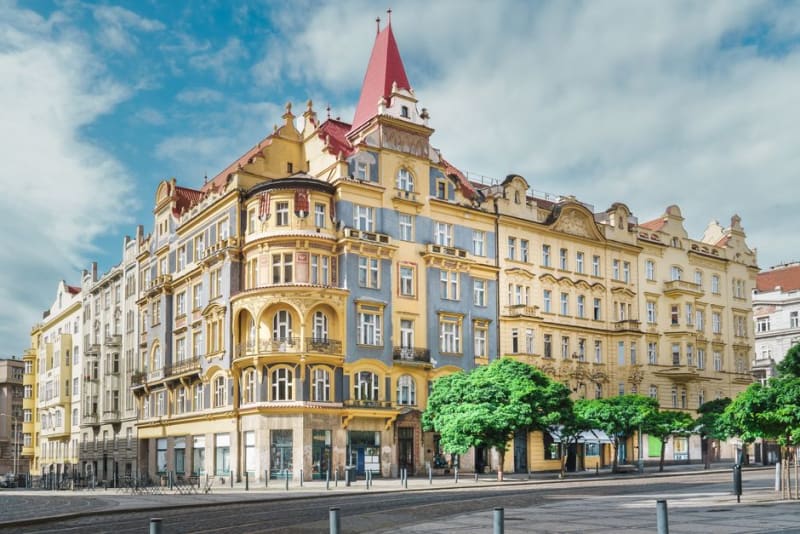
Ivano-Frankivsk
An elegant art-nouveau city in western Ukraine where I drank the best coffee of my trip on a square that felt like a smaller, quieter Lviv.
Explore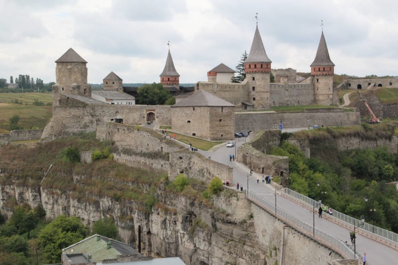 ukraine
Kamianets-Podilskyi
A medieval city on a natural island in a canyon of the Smotrych River, anchored by one of Eastern Europe's most dramatically sited fortresses.
Explore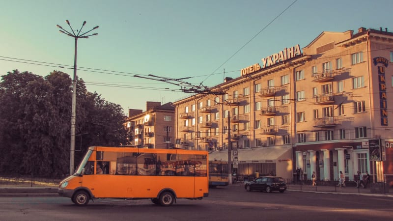 ukraine
Kharkiv
Ukraine's second city and former Soviet capital, a place of utopian modernist squares, intense university energy, and an industrial seriousness that doesn't bother softening itself for visitors.
Explore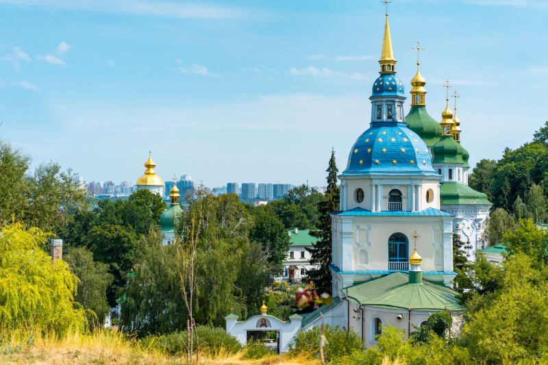 ukraine
Khotyn
A 10th-century fortress on a limestone bluff above the Dniester River, one of the best-preserved medieval strongholds in Eastern Europe and almost entirely undiscovered by Western visitors.
Explore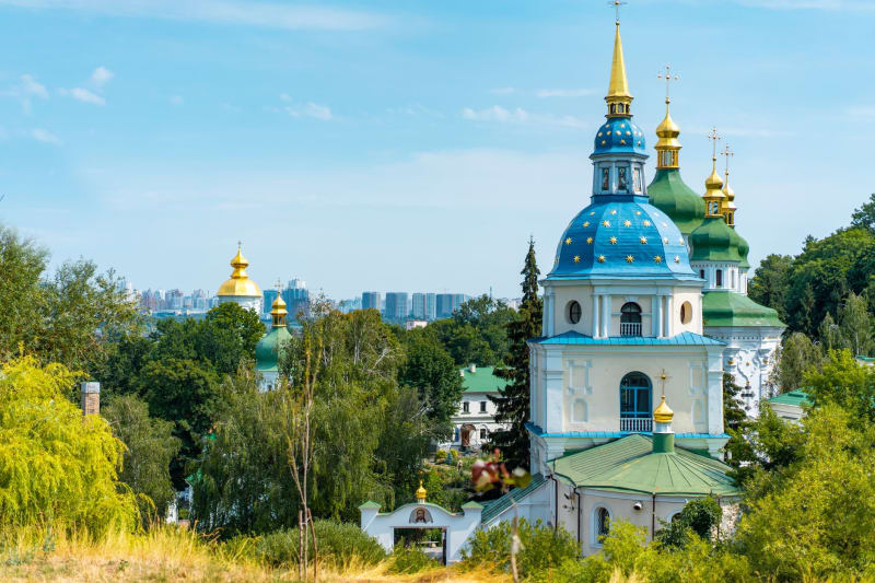 ukraine
Kyiv
A city of golden domes and defiant energy, where thousand-year-old monasteries share a skyline with Soviet brutalism and the restless present.
Explore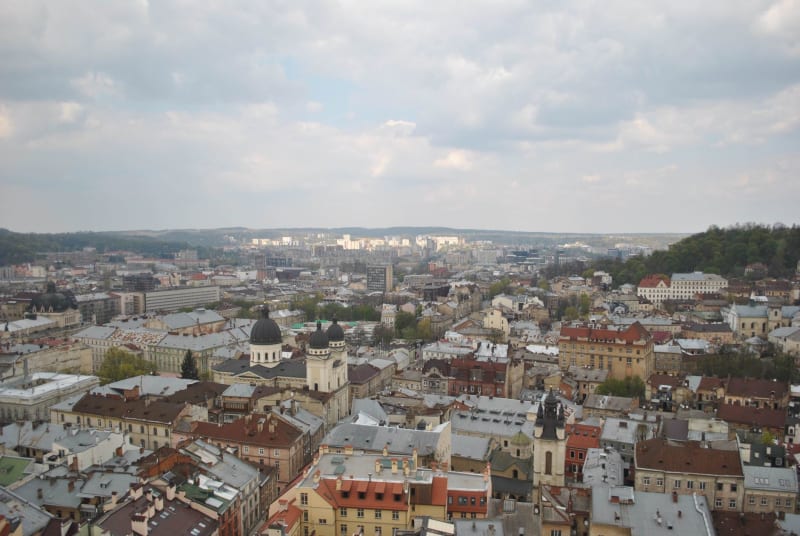 ukraine
Lviv
Ukraine's most central-European city, a place of Austro-Hungarian squares, obsessive coffee culture, and a stone-carved old town that feels like it was designed for lingering.
Explore