A volcanic massif rising to 3,000 meters from the flat heart of Darfur, with crater lakes, waterfalls, and an ecosystem so different from the surrounding desert that arriving here feels like the landscape made a mistake in your favor.

A Different Sudan
Everything that defines Sudan for most people — the flat desert, the burning heat, the pale sky pressed down close to the horizon — is absent from Gebel Marra. The massif rises from the Darfurian plains to over 3,000 meters at its highest point and creates its own weather: cooler temperatures, more reliable rainfall, a persistent greenness in the valleys and on the north-facing slopes that is genuinely startling after days in the surrounding landscape. The contrast when you climb into it from the dry Sudanese plain is one of the more abrupt environmental transitions I can recall encountering.
This is complicated terrain to visit and I want to be honest about that. Darfur’s political situation has been volatile for decades, and Gebel Marra’s accessibility depends directly on the security conditions in the surrounding region. In periods of relative stability, the mountain has been accessible with appropriate guidance and permits. But the situation changes, and checking current conditions carefully is not optional — it is the starting point for any planning.
The Deriba Caldera
The summit of Gebel Marra is a large volcanic caldera called Deriba, containing two crater lakes nested inside each other — an outer lake of brackish water surrounding a smaller, deeper freshwater lake in an inner cone. The caldera is roughly 5 kilometers across and the lakes visible from the rim produce a blue-on-blue color combination against the surrounding green caldera walls that justifies every difficult kilometer of getting there.
The inner lake is considered sacred by local Fur people and plays a role in rain-making ceremonies. I walked the caldera rim slowly, stopping frequently, trying to memorize a view I was fairly certain I wouldn’t find a second opportunity to repeat. The altitude made the air feel genuinely cool — jacket weather in Sudan, which had seemed like an absurd concept when I’d planned the trip in Khartoum’s heat.
The Wadi System
The mountain’s rivers flow outward through a system of wadis — seasonal riverbeds — that cut dramatic valleys through the massif’s flanks. In the wetter months, waterfalls appear; in the dry season, the water retreats into pools in the lower sections. The valleys hold small Fur farming communities with terraced fields and animal pasture. The Fur people have farmed this mountain for centuries, and their agricultural system — complex, adapted to the specific rainfall patterns of different elevations — is as impressive as the landscape itself.
I walked through one village where millet and sorghum were growing on terraces cut into a hillside that dropped away sharply into a valley. Women were threshing grain. A man explained, through a combination of Arabic and patience, that the terrace system his family farmed had been built by his grandfather’s grandfather. He showed me the wall repairs he’d made last season, running his hand along fresh stone.
The Descent and What Stays
Coming down from Gebel Marra back toward the Sudanese plain is the reverse of the arrival experience: the green recedes, the temperature climbs, the horizon flattens out again. By the time the desert asserts itself fully, the mountain behind is just a dark mass on the skyline, indistinguishable from any other elevated feature if you didn’t know what it held.
I thought about it for most of the drive back. There are places that change your sense of what a country is. Gebel Marra did that for Sudan.
When to go: October through March for the most manageable conditions — cooler temperatures on the mountain (15–22°C at the caldera) and drier roads. July–September is the rainy season, when waterfalls run but tracks become impassable. CRITICAL: check security conditions in Darfur thoroughly and recently before planning. Access requires government permits and should only be undertaken with a locally-organized guide who has current on-the-ground knowledge. This is not a destination for independent self-guided travel.
Keep exploring
More from Sudan
 sudan
sudan Jebel Barkal
A flat-topped sacred mountain rising from the Nubian desert with a pinnacle the ancient Kushites read as a royal cobra, surrounded by temple ruins and pyramids that most of the world has still never heard of.
Explore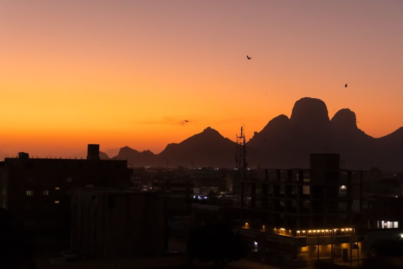 sudan
sudan Karima
A dusty Nile-side town crouched beneath the sacred mountain of Jebel Barkal, the quietest base imaginable for wandering among Nubia's pyramid fields.
Explore sudan
sudan Kassala
A frontier city in eastern Sudan where dramatic granite rock formations erupt from the plain, Rashaida nomads sell camels at dawn, and the border with Eritrea feels close enough to smell the different country.
Explore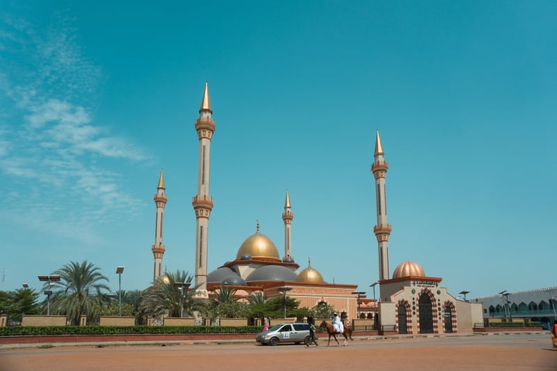 sudan
sudan Khartoum
A capital city built at the exact point where the Blue and White Nile merge, where the tea is always sweet, the heat is always serious, and the light on the water at evening is unlike anything I've seen.
Explore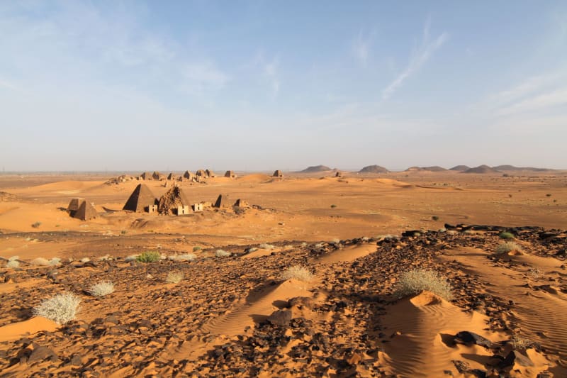 sudan
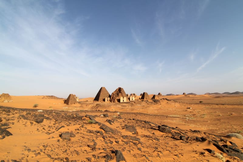
sudan Meroe
Dozens of steep Nubian pyramids rise from red desert sand with no crowds, no fences, and almost no other visitors — Africa's most dramatic ancient site almost nobody knows about.
Explore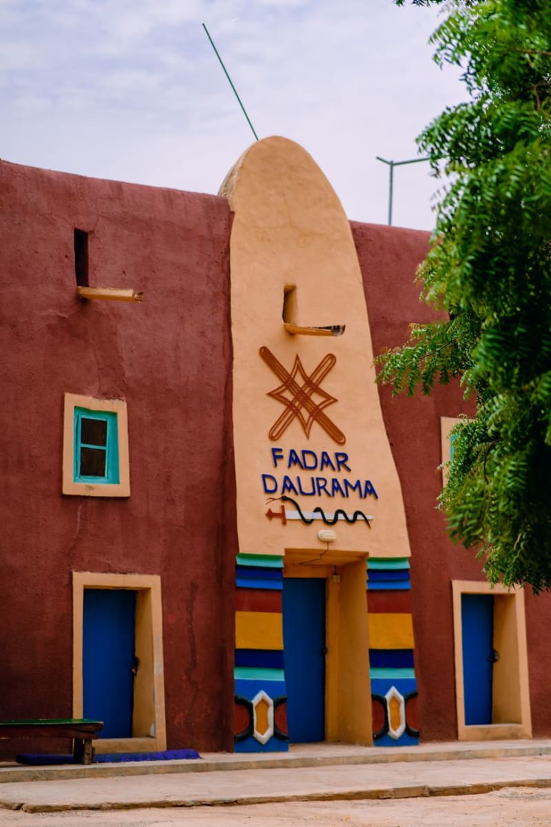 sudan
sudan Musawwarat es-Sufra
A sprawling Meroitic temple complex hidden in the desert valleys north of Khartoum, where elephant carvings and a labyrinth of sandstone corridors stand almost entirely alone.
Explore