Jowhar
"The Shabelle at Jowhar is the first river I'd seen in Somalia with actual current in it, and I stood on the bank longer than I meant to just watching it move."
A green riverside town on the Shabelle where sugarcane fields and an old colonial-era mill trace Somalia's most fertile stretch of water.

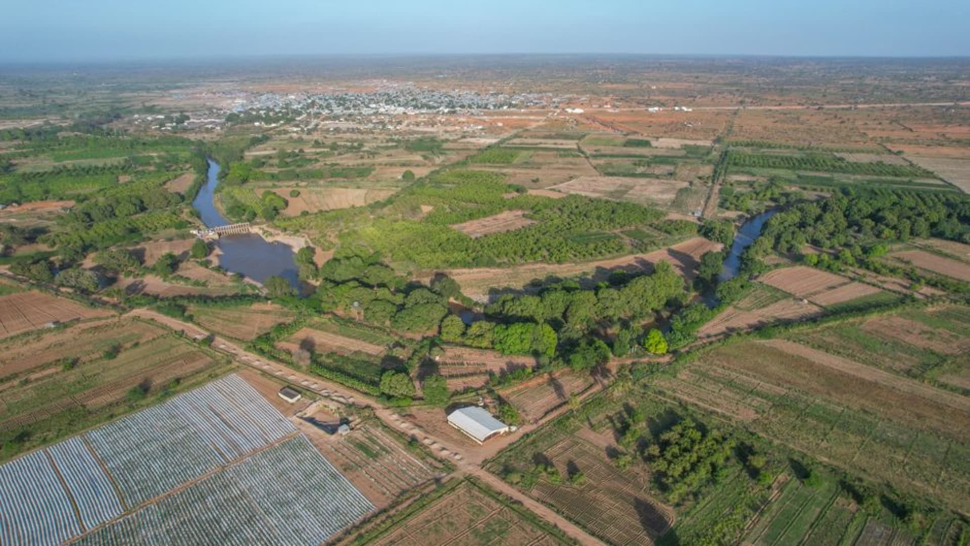
Most of what I’d seen of Somalia before Jowhar was dry — dry riverbeds, dry scrub, dry wind. Then we came over a rise about an hour north of Mogadishu and the whole color palette changed: green sugarcane running in dense blocks toward the horizon, date palms leaning over irrigation channels, and the Shabelle River itself, brown and slow but unmistakably a real river, cutting through the middle of it all. Jowhar exists because of that water, and you feel the logic of the place immediately in a way that’s harder to grasp in drier towns.
The old Jowhar Sugar Factory sits on the edge of town, largely idle now, its rusted machinery a monument to an Italian colonial-era enterprise that once made this the center of Somalia’s sugar industry. Walking the perimeter with a local guide named Cabdiraxman, I kept thinking about how much history gets compressed into one abandoned building — colonial extraction, post-independence state industry, decades of conflict that shut the plant down, and now cane still growing in the surrounding fields with nowhere organized to process it, sold instead in raw stalks at the roadside for people to chew straight.

We spent the better part of an afternoon at the riverbank itself, where boys were fishing with hand lines and women were washing clothes on flat stones, laying them out on the grass to dry in a scene that felt almost timeless against the rusted factory skyline behind it. Lia waded in up to her ankles despite everyone’s warnings about the current, and I got a photo of her laughing that’s now one of my favorites from the whole trip north.

Jowhar isn’t a place with a checklist of sights. It’s a place to understand water in a country mostly defined by its absence — to watch how a single river can turn scrubland into cane fields, support a factory, a fishing economy, and a market, all in the space of a few green kilometers before the dry country reasserts itself again on either side.
When to go: Visit between January and March, when the river is calmer and the surrounding roads are driest; the April–June rains swell the Shabelle and can make riverside routes impassable.
Keep exploring
More from Somalia
 somalia
Kismayo
A southern port city where the Jubba River meets the Indian Ocean, historically vital and recently stabilized, its white-sand beaches and fresh seafood market hinting at a future that the city is cautiously beginning to inhabit.
Explore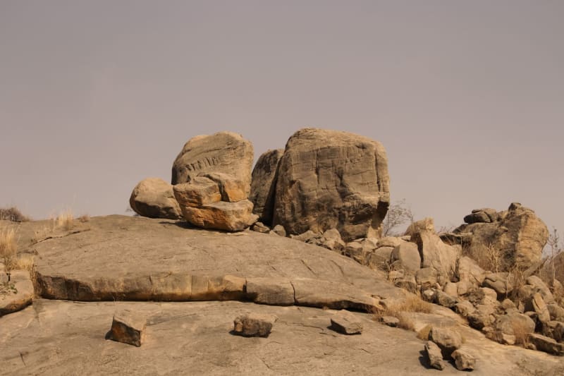 somalia
Laas Geel
A cluster of granite caves in the Somaliland scrubland containing some of the oldest and best-preserved prehistoric rock art in Africa — painted cattle and human figures that have survived eleven thousand years with more grace than most things manage.
Explore somalia
Maydh
A tiny, ancient fishing town on the Gulf of Aden where whitewashed tombs and crumbling coral-stone houses face a turquoise sea backed by the Cal Madow mountains.
Explore somalia
Mogadishu
A capital rebuilding itself block by block, where crumbling Ottoman arches share street corners with brand-new cafés and the Indian Ocean crashes into a shoreline that has no intention of being forgotten.
Explore somalia
Puntland Coast
A thousand-kilometer arc of Indian Ocean shoreline in northeastern Somalia where coral reefs run undivested by tourism, sea turtles nest on deserted beaches, and the ancient frankincense trade routes come down from the mountains to meet the sea.
Explore somalia
Sheikh
A mountain town in Somaliland's interior that the British colonial administration used as a hill station for good reason — at 1,500 meters, the air is cool, the views are enormous, and the surrounding highlands feel like a different country entirely from the coastal heat.
Explore