
A volcanic headland on Shetland's northwest coast where ancient lava flows have been carved into blowholes, sea caves, and stacks by an Atlantic that has had thousands of years to be thorough about it.

Geology as Violence
Eshaness is what you get when basalt lava meets Atlantic swell over sufficient time. The headland was formed by volcanic activity around 380 million years ago — this is old rock, dark red-black in color, with a rough texture that catches the lichen well. The coast faces northwest into the open Atlantic with nothing between it and Canada, and the swell that builds over three thousand kilometers of open water arrives here with accumulated purpose.
The drive out to Eshaness Lighthouse is one of the better drives in Shetland, which is saying something. The road narrows as it approaches the headland, the landscape stripping down to grass and rock and fence posts, and the lighthouse — white, 1929, automatic since 1974 — appears against whatever the sky is doing, which at Eshaness is always doing something worth watching.
The Holes of Scraada
A short walk north from the lighthouse car park brings you to the Holes of Scraada, a series of collapsed sea caves that form depressions in the clifftop. In calm weather these are impressive but static — you peer into dark shafts with the sea visible at the bottom. In any kind of swell, the wave pressure forces water and air up through them with enough force to hear from a hundred meters away. The ground trembles slightly underfoot.
The Grind of the Navir, a little further along the coast, is a natural geo — a narrow inlet where the rock walls have been smoothed by wave action into curves that look deliberately shaped. On a rough day, waves push through the geo and throw spray twenty meters or more. I went on a day with an eight-foot swell running, which the lighthouse forecast board at the car park had flagged as moderate. Standing at the Grind with that swell coming in, the word “moderate” required reassessment.
The Geology Walk
Historic Environment Scotland has a waymarked geology walk from the lighthouse that identifies the different volcanic formations visible in the cliffs. It’s good, particularly if you can recognize andesite from basalt from a description rather than from a degree in geology, which I cannot. What works without specialist knowledge is the simple accumulation of evidence that this coast has been under serious pressure for a very long time, and the rock has been reshaped accordingly. The natural arch at Calder’s Geo, the stacks offshore, the caves and blowholes — it’s all the same process, the sea finding weaknesses.
The walk takes about an hour and a half if you stop at everything. The wind being what it is at Eshaness, you’ll need both hands at several points and something on your head that won’t fly off.
Tangwick and Hillswick Nearby
The nearby township of Tangwick has a small museum in a farmhouse that covers the local fishing and farming history. Hillswick, a few kilometers to the southeast, has accommodation and the St Magnus Bay Hotel, a wooden building painted in an improbable shade of pink that has been here since 1900. Lia ate a bowl of soup there that she described as “the temperature of the interior of the earth,” which was what we needed after the clifftop.
The bay views from Hillswick across St Magnus Bay are wide and blue-grey and the village has the specific quiet of a place that has been here long enough not to need to prove it.
When to go: Year-round, but the blowholes are most dramatic in autumn and winter storms — October through February gives you serious Atlantic swell. For walking the cliff path in safety and decent visibility, May through September is more reliable. Never approach the cliff edges in strong winds.
Keep exploring
More from Shetland Islands
 shetland-islands
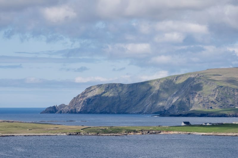
Fair Isle
A remote island halfway between Shetland and Orkney, famous for its knitting patterns and bird observatory, where around sixty people live in voluntary commitment to a landscape that asks a great deal and gives back proportionally.
Explore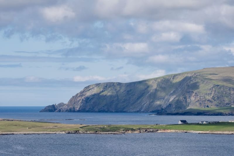 shetland-islands
Foula
One of Britain's remotest inhabited islands, reached by boat or eight-seater plane, where the cliffs hold one of the country's largest seabird colonies.
Explore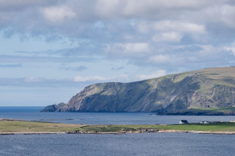 shetland-islands
Hermaness
The northernmost corner of the British Isles, where a moorland walk through gannet-scented wind brings you to cliff edges overlooking the Atlantic and the lonely rock of Muckle Flugga.
Explore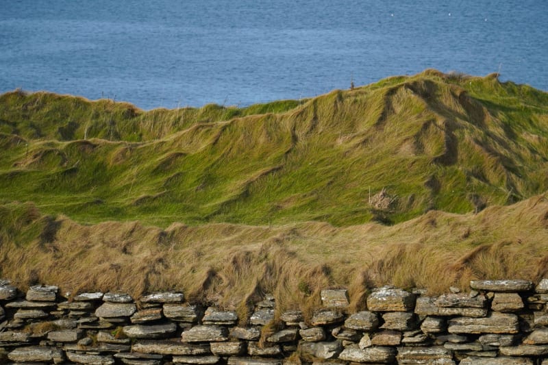 shetland-islands
Jarlshof
An archaeological site near Sumburgh where Bronze Age smithies, Iron Age brochs, Norse longhouses, and a medieval farmstead stack on top of each other in a compressed vertical history of human settlement.
Explore shetland-islands
Lerwick
Shetland's stone-built capital where Norse history runs through the streets and the pub fires outlast even the longest winter nights.
Explore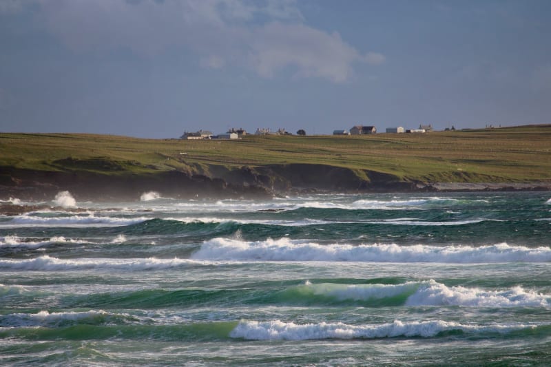 shetland-islands
Mousa
A small uninhabited island off the Mainland's east coast, home to the best-preserved Iron Age broch in the world and, on summer nights, the eerie churring of thousands of storm petrels nesting in its ancient walls.
Explore